Rice Ridge Road

Total Miles21.8
Technical Rating
2Easy
Best TimeSpring, Summer, Fall
Trail TypeFull-Width Road
Accessible By
Open Trail Map

Trail Overview

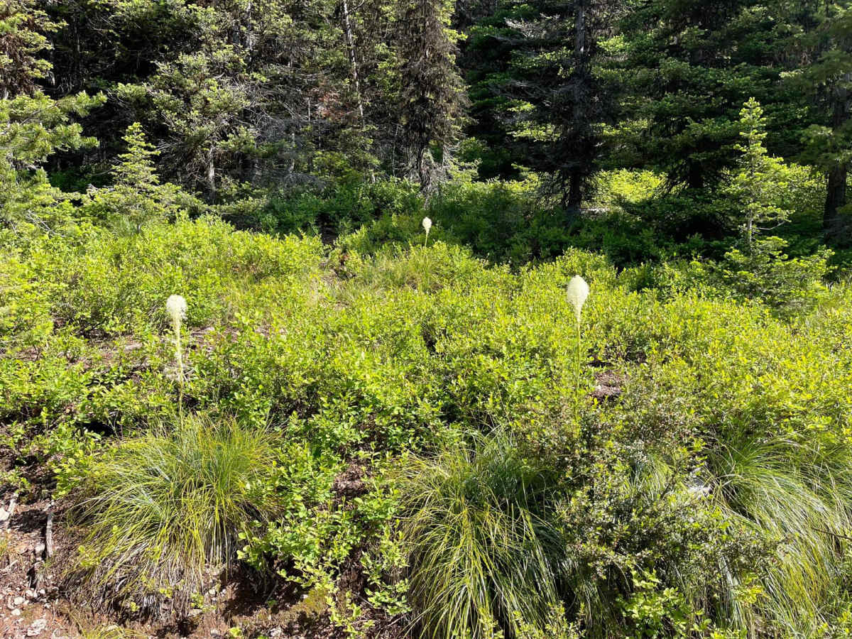
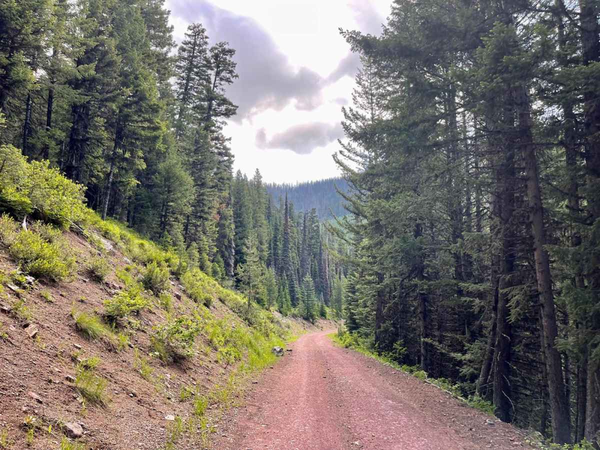
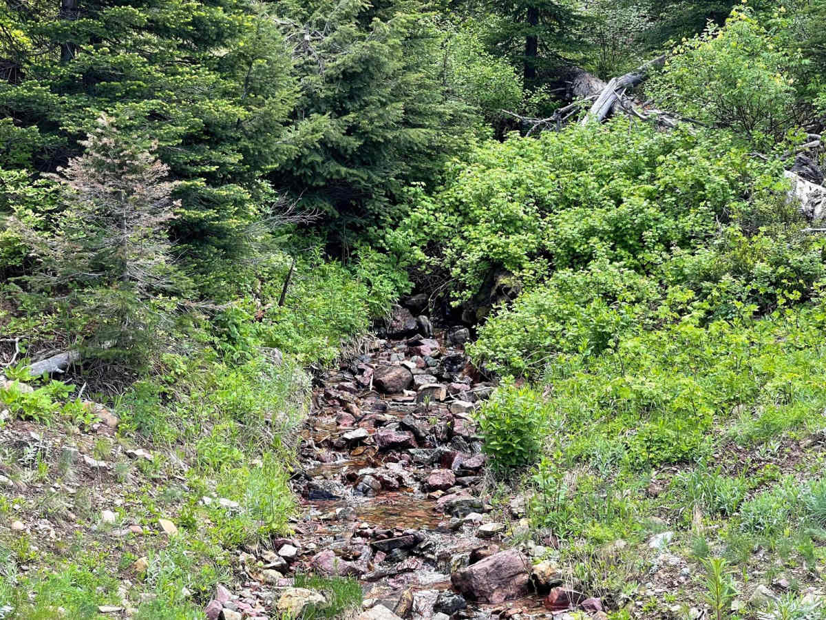
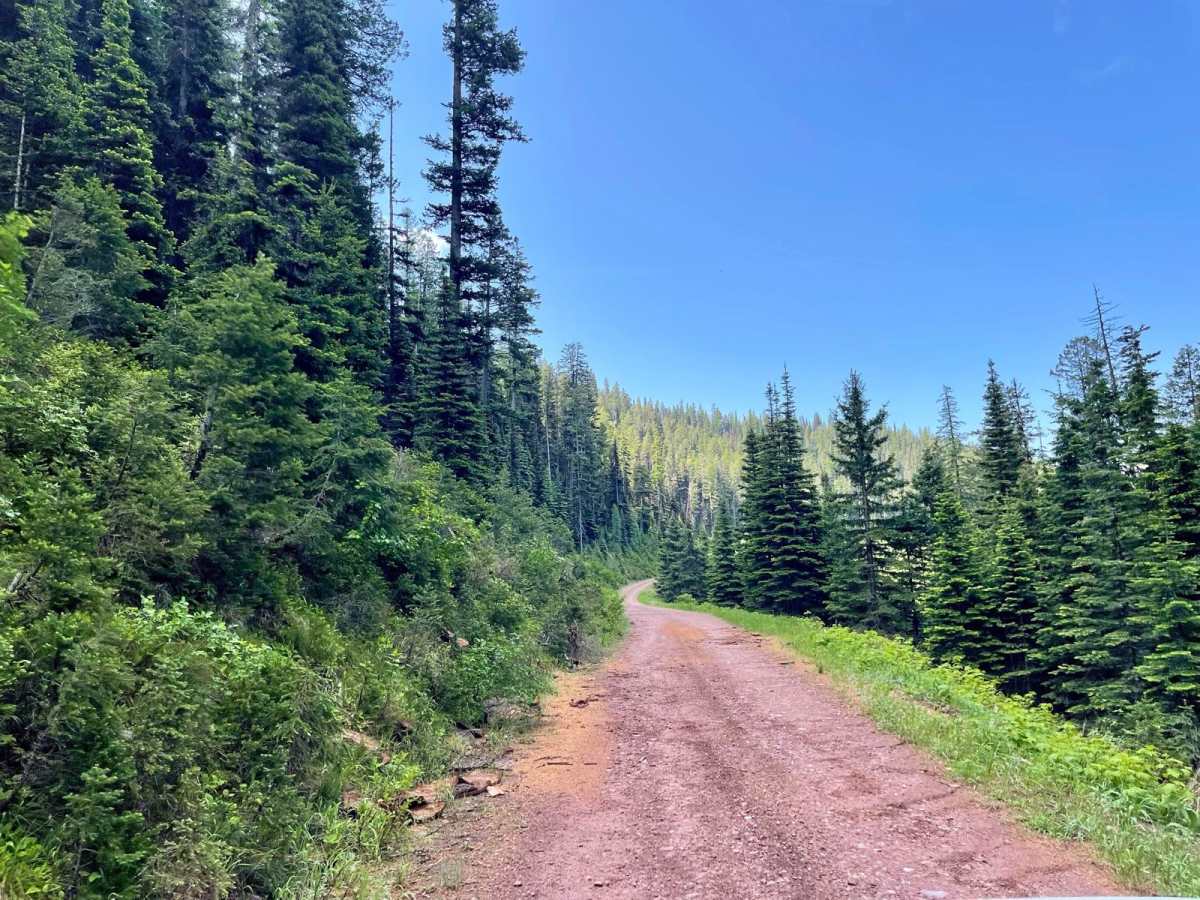
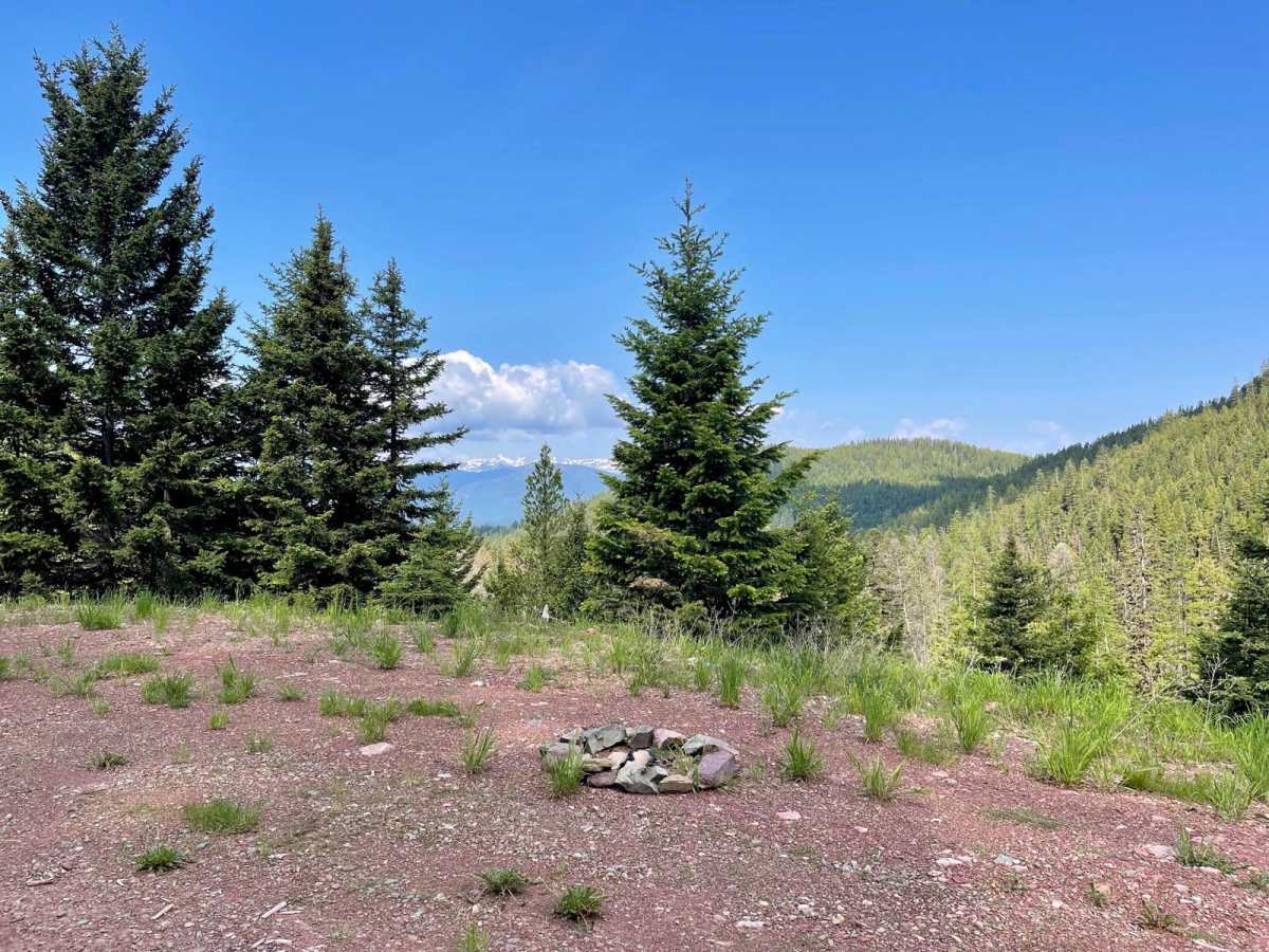
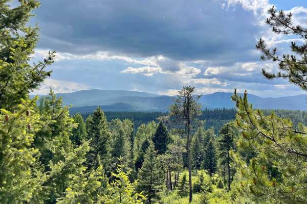
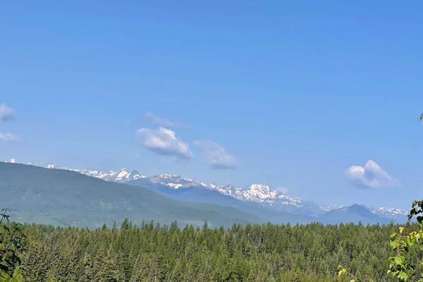
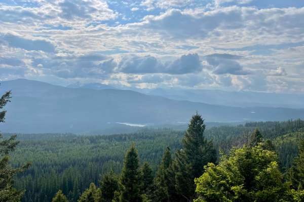
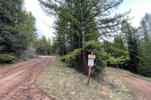
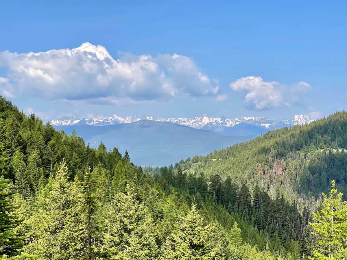
This stunning scenic drive across the ridge is one not to be missed. There are vast views of the surrounding mountains. Epic overlooks of the Seeley Lake area. Along the way, you will see dense forests of towering ancient pines and wide open fields of burned-out forests. In springtime, the wildflowers are bursting with color. Deer, Elk Rabbits, and Chipmunks dart across the trail as you approach. A few camping spots are scattered around on various pullouts and along the route. Verizon cell service fades in and out, depending on which corner you round. The trail itself is in decent shape, with some more narrow portions and some wider sections. There are countless potholes and some muddy, rutted sections, and a few rocky, rutted sections. Nothing super technical it may just be difficult to travel when wet.

Photos of Rice Ridge Road

Difficulty

There are countless potholes and some muddy, rutted sections, and a few rocky, rutted sections. Nothing super technical it may just be difficult to travel when wet.

Technical Rating

2

Status Reports

Add Status Report
Alexander Armintor
Jul 02, 2026
Open
Dusty
Ran about half the trail, to about 3 miles past the Sawyer Creek intersection. 2 seems accurate for the rating and there are some great views of the Swan range from above Sawyer Creek. Lots of flowers. You’ll have to search hard to find ground level enough for a campsite. Mosquitos were particularly fierce here.

Rice Ridge Road Trail can be accessed by the following ride types:

  • Single Track
  • 50 Inch
  • 60 Inch
  • High Clearance
  • Full Width

Rice Ridge Road Map

The onX Offroad Difference

onX Offroad combines trail photos, descriptions, difficulty ratings, width restrictions, seasonality, and more in a user-friendly interface. Available on all devices, with offline access and full compatibility with CarPlay and Android Auto. Discover what you're missing today!

Open Trail Map