Main Fork Rock Creek

Total Miles7.7
Technical Rating
2Easy
Best TimeSummer
Trail TypeFull-Width Road
Accessible By
Open Trail Map

Trail Overview

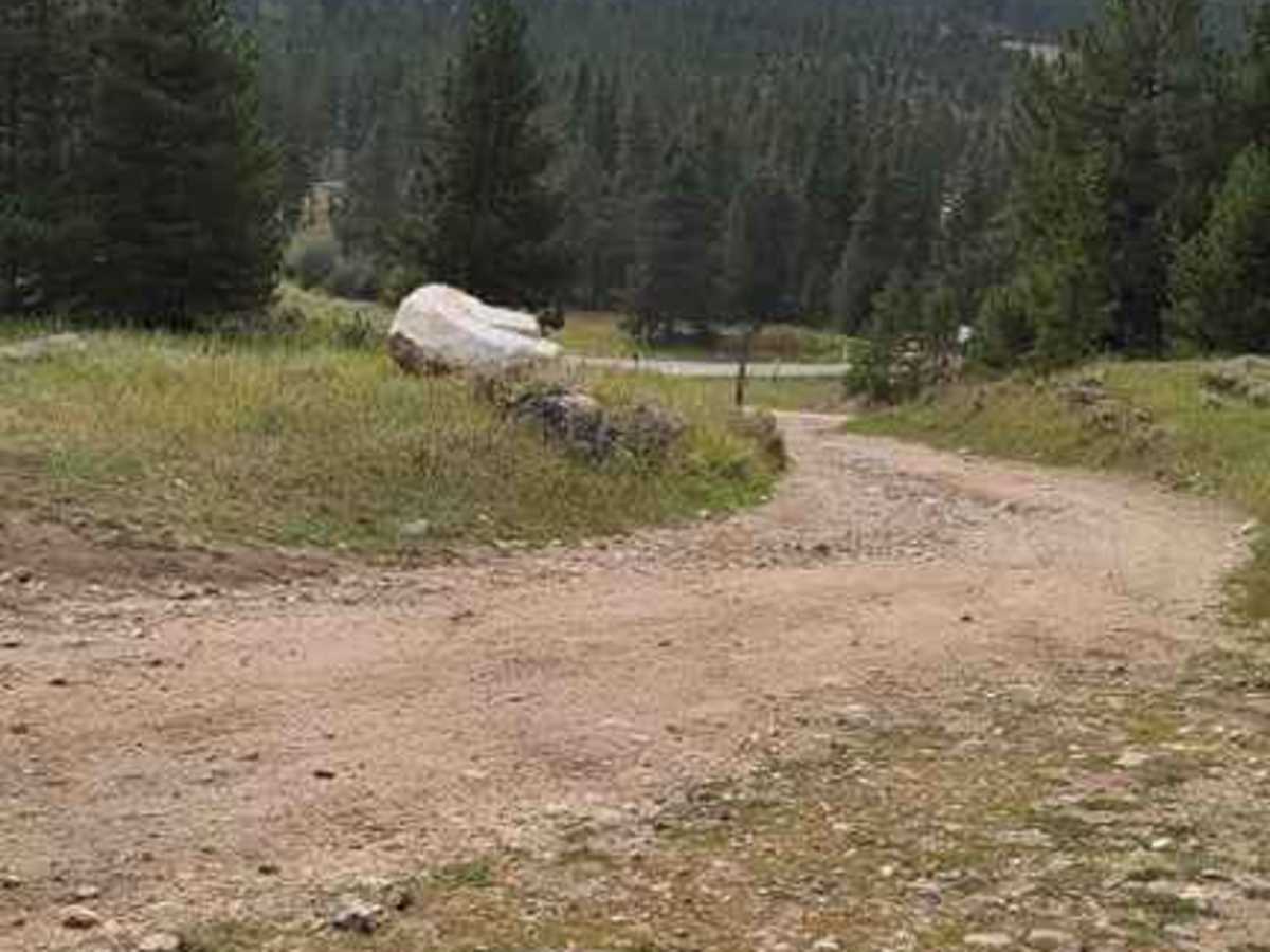
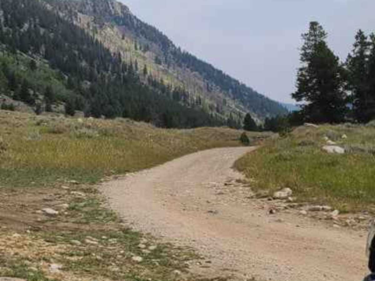
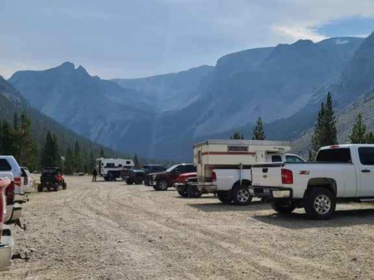
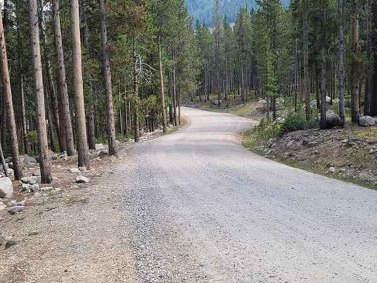
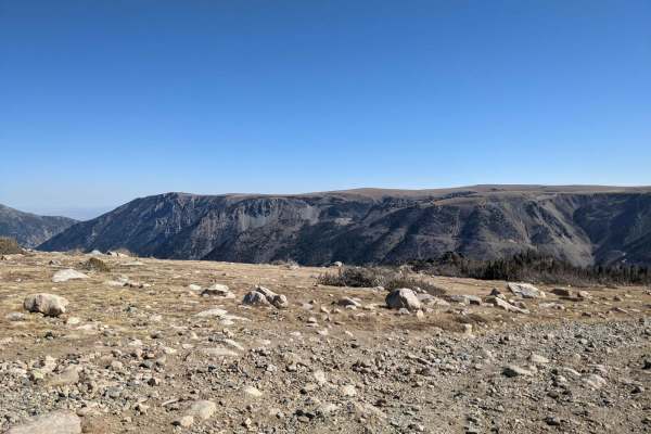
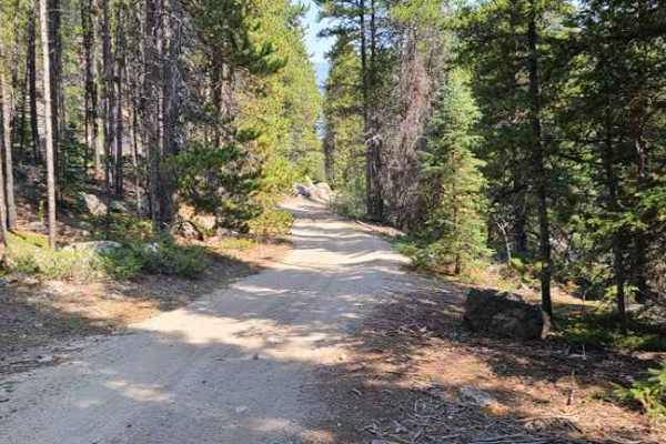
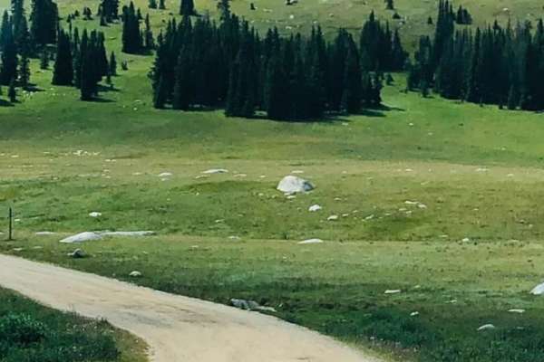
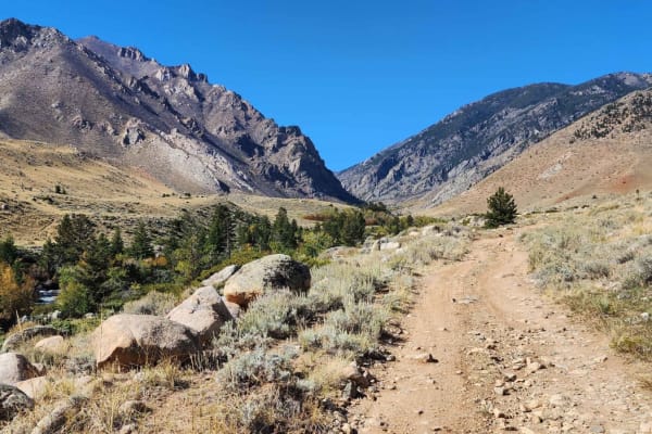
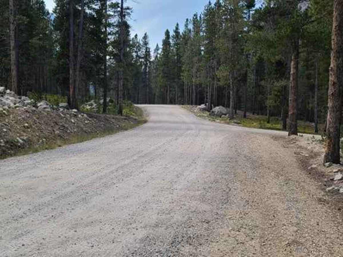
This trail runs along Rock Creek and has some amazing views. Some spots have lose rocks but most of it is packed dirt. There are great spots to stop along the way down by the creek so you can go fly fishing or just relax a little and have lunch. You could get to the end of the trail with most off road style campers.

Photos of Main Fork Rock Creek

Difficulty

Hills with lose rocks not very steep

Technical Rating

2

Status Reports

Add Status Report
Brandon Schenk
Jul 06, 2025
Open
NormalDusty
Trail is more of a road. A road with some of the most incredible views I have ever scene. Easy enough for a 2wd vehicle and ends at an amazing hike to a waterfall and Glacier Lake if your up to it. If not there are plenty of amazing views right off the side of the trail.
James Linstruth
Jun 23, 2025
Open
Open all the way to the top. No obstacles on the road. Just great views all around.
Hans Dersch
May 23, 2025
Temporarily Closed
Closed Gate
Hans Dersch
May 23, 2025
Temporarily Closed
Closed Gate
Hans Dersch
May 23, 2025
Temporarily Closed
Closed Gate
Hans Dersch
May 23, 2025
Temporarily Closed
Closed Gate
Hans Dersch
May 23, 2025
Temporarily Closed
Closed Gate
Hans Dersch
May 23, 2025
Temporarily Closed
Closed Gate
Hans Dersch
May 23, 2025
Temporarily Closed
Closed Gate
Hans Dersch
May 23, 2025
Temporarily Closed
Closed Gate
Hans Dersch
May 23, 2025
Temporarily Closed
Closed Gate
Dana Haines
Aug 05, 2024
2003 Chevrolet Silverado
Open
Normal
Phillip Lowther
May 25, 2024
2011 RAM 2500
Open
Muddy/Wet
Open until the third gate just inside Wyoming. Rained most of the time we were out there for a camp trip. Road is in pretty good condition.
daniel jones
Feb 10, 2024
Temporarily Closed
Closed Gate
gate was closed will probably open during spring or early summer, snowmobiles can run the trail
Don Larson
Jun 11, 2023
Open
Rough/DeterioratedMuddy/WetWashboard

Main Fork Rock Creek Trail can be accessed by the following ride types:

  • Single Track
  • 50 Inch
  • 60 Inch
  • High Clearance
  • Full Width

Main Fork Rock Creek Map

The onX Offroad Difference

onX Offroad combines trail photos, descriptions, difficulty ratings, width restrictions, seasonality, and more in a user-friendly interface. Available on all devices, with offline access and full compatibility with CarPlay and Android Auto. Discover what you're missing today!

Open Trail Map