Hellroaring Plateau

Total Miles5.7
Technical Rating
4Moderate
Best TimeSummer
Trail TypeHigh-Clearance 4x4 Trail
Accessible By
Open Trail Map

Trail Overview

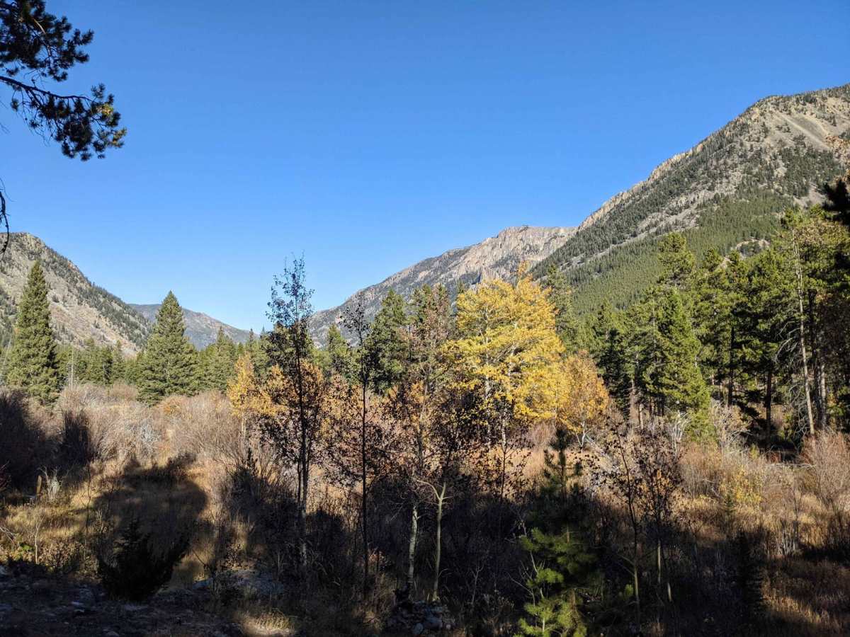
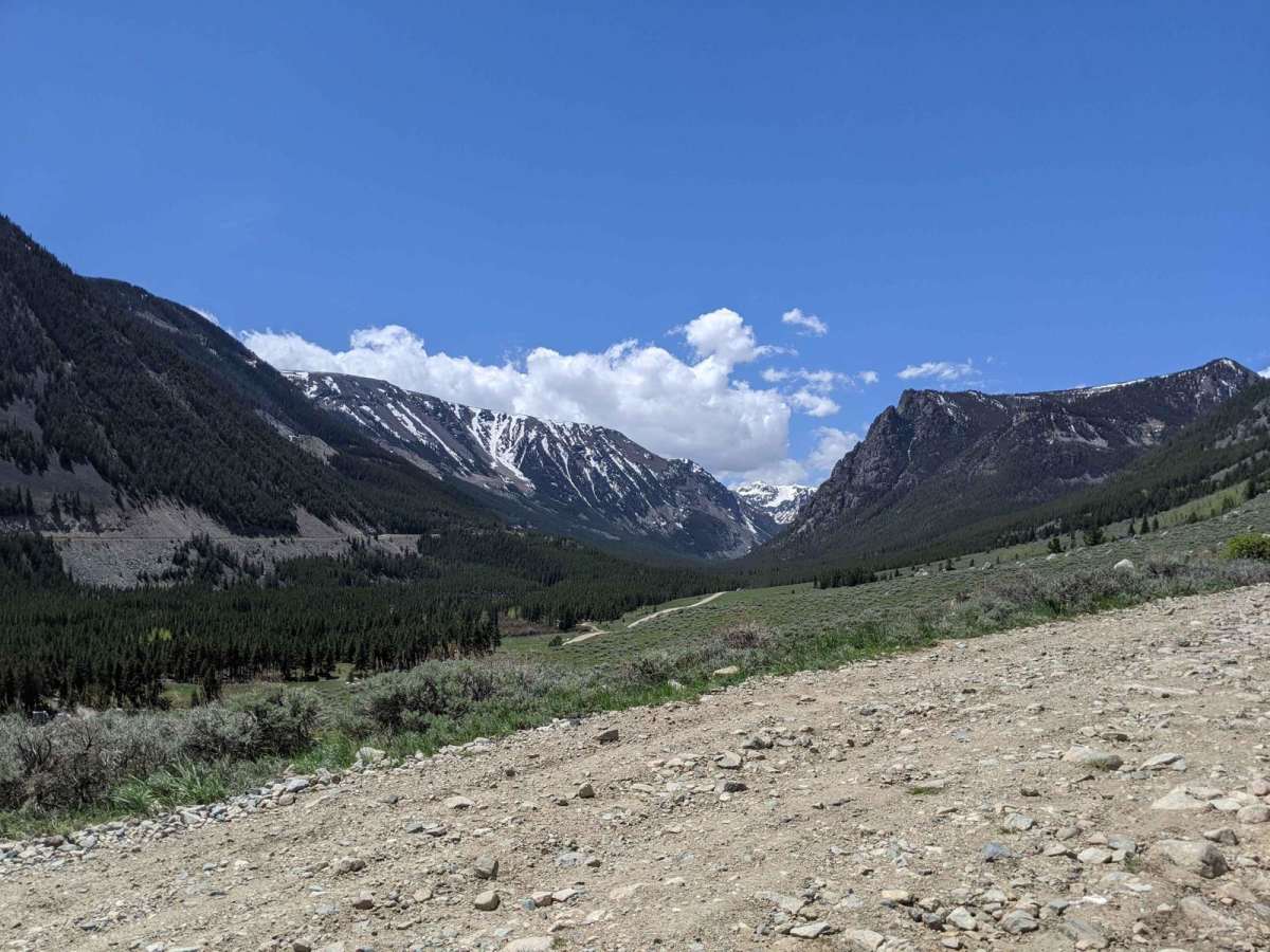
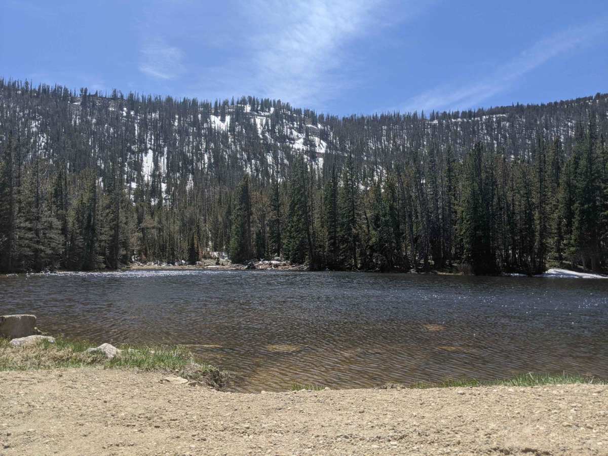
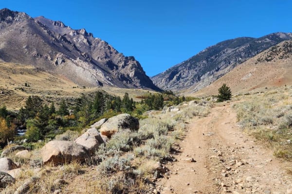
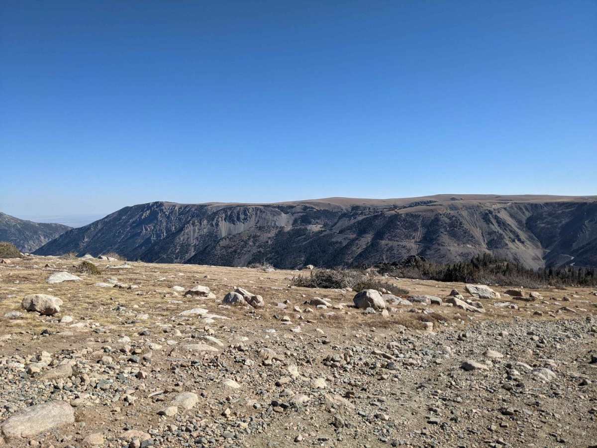
Hellroaring Road is a 4x4 trail located in the Custer Gallatin National Forest outside Red Lodge, Montana near the base of the Beartooth Highway. The trail is out and back, about 6 miles long each way, and takes about 1.5hr to reach the top. It is not particularly technical but very rocky and narrow in some areas. In these narrow areas, you or your passengers may be looking straight down the mountainside! The trail is Forest Service Road 2004 or Hellroaring Rd on Google Maps. The Motor Vehicle Use Map for this area is Custer Gallatin National Forest South Beartooth Front. The trail is open to all types of off-road vehicles, including motorcycles, ATVs, and 4x4s, although according to the MVUM, open to "Highway legal vehicles only." Due to sharp turns and the narrow sections, a full-size pickup truck or long-wheel base full-size SUV is not recommended, regardless of ground clearance. The trail begins at the Hellroaring Road Trailhead, which is located off Highway 212. The Hellroaring Road trail is a great way to experience the wilderness of Montana. The trail offers stunning views of nearby Beartooth Highway and the surrounding mountains and valleys.

Photos of Hellroaring Plateau

Difficulty

This is a very bumpy route with continuous rocky terrain and many sharp rocks along the way.

Technical Rating

4

Status Reports

Add Status Report
Nathan Mcpherson
Jul 01, 2026
Open
Normal
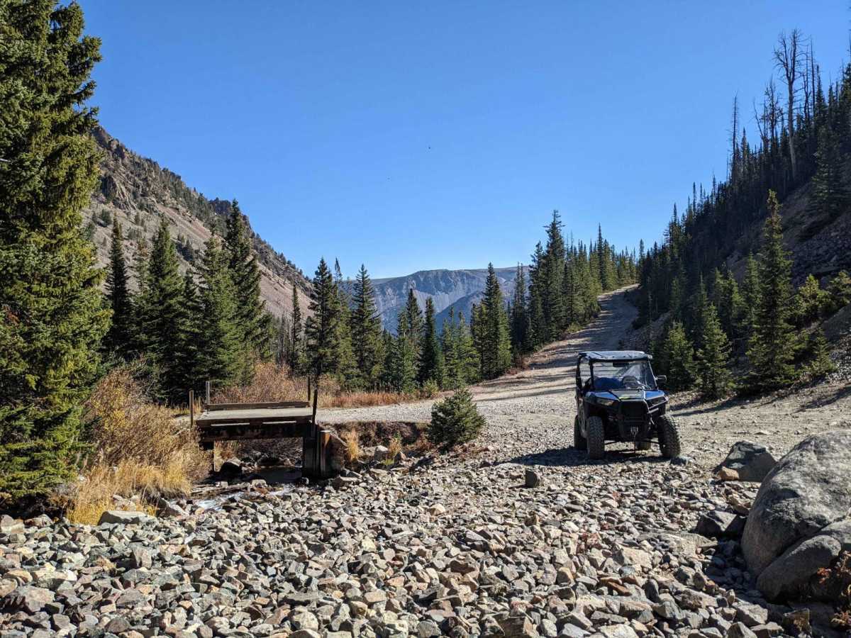
The reconditioned road leading to the new bridge was well-maintained and suitable for a small SUV or AWD vehicle. After crossing the bridge, the terrain turned rocky and narrow in some spots, but overall, it was an enjoyable drive with stunning scenery!
James H
Jun 26, 2026
2025 Chevrolet Colorado ZR2
Open
Normal
Clear to the top. One tight turn near the top that was partially covered with snow but passable.
Colin Arner
Jun 08, 2026
Obstructed
Deep Snow
Can make it to lake but hit snow shortly after. Atv could make it much farther than a 4x4. Summit is still too much snow for anything.
Tyler Ripley
Jun 05, 2026
Obstructed
Deep Snow
Made the drive up to the new bridge this morning. The road to the new bridge is very good but i would not do it with a sedan or car. I parked at the new bridge and walked up as there was a couple that informed me there was snow just up the road. On the walk i found the trail very much in the same condition that my father and i found it in 97-98. We went to the top in a 91 Explorer and it was dicey! I can see someone easily doing this trail with side by sides or atvs. At this moment i would not drive past the new bridge in my Jeep. Beautiful spot and well worth driving the first bit for the view. Enjoy!!
Peter Beeman
Oct 22, 2025
2012 RAM 2500
Open
NormalSnow/Ice
First part of the trail was good, after I went over the big bridge about halfway up the trail got pretty icy, I got to the spot in photo #1 and decided to carefully back down to the next spot I could turn around, my truck is too big and heavy for me to carry on with the ice and tight trail, nice little outing either way.
Kirk T
Aug 31, 2025
Open
DustyWashboard
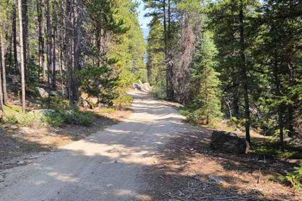
Not very technical but it is very narrow with thousand feet plus steep drop offs on the downhill side. Definitely requires your full attention for a fair amount of the trail. The trail has got a lot of chunky sharp rocks, definitely need good off-road/truck rated tires and a reasonable amount of ground clearance. Mostly ATVs and Side by Sides. Definitely passable by 4x4 vehicles but having to pass another full size at any point on most of the trail would prove to be difficult and dangerous.
David Traverso
Aug 24, 2025
2024 Ford Bronco
Open
Normal
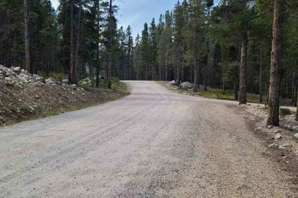
Road crew did an excellent job of improving the road up to the new bridge. Easy to reach this point with any SUV. Past the bridge the road is open but remains unimproved.
Adam H
Aug 24, 2025
Open
Normal
Chris Brohard
Aug 04, 2025
Temporarily Closed
Trail RestorationClosed GatePosted Sign
bridge out - closed for construction
Brandon Schenk
Jul 06, 2025
Temporarily Closed
Closed GatePosted SignTrail Restoration
Kerby Barnes
Jun 27, 2025
2016 Polaris RZR S 900
Temporarily Closed
Trail Restoration
spoke with USFS in Red Lodge 2day(27th) about hell roaring. If everything goes well should be open in about 3 weeks.
Raph Z
May 31, 2025
Obstructed
trail is still closed at the 2nd bridge at hellroaring creek. which is about halfway up
Josh Harper
Sep 12, 2024
Obstructed
Washout
About halfway up the trail the bridge is washed out from bad flooding this past spring. You can’t navigate a vehicle past the wash out but you could continue on foot.
Cy Lainhart
Jul 12, 2024
Obstructed
Washout
About halfway thru trail-Bridge is washed out—Road is CLOSED..
Michael Schoenike
Apr 15, 2024
2020 Jeep Wrangler
Open
Mostly clear for the first two and a half miles or so. Snow starts getting deeper just before you arrive at the washed out bridge at almost 3 miles up the road. (The bridge itself is actually fine but the far bank is completely washed out leaving about a 30 foot impassable gap.)

Hellroaring Plateau Trail can be accessed by the following ride types:

  • Single Track
  • 50 Inch
  • 60 Inch
  • High Clearance

Hellroaring Plateau Map

The onX Offroad Difference

onX Offroad combines trail photos, descriptions, difficulty ratings, width restrictions, seasonality, and more in a user-friendly interface. Available on all devices, with offline access and full compatibility with CarPlay and Android Auto. Discover what you're missing today!

Open Trail Map