Trail Overview
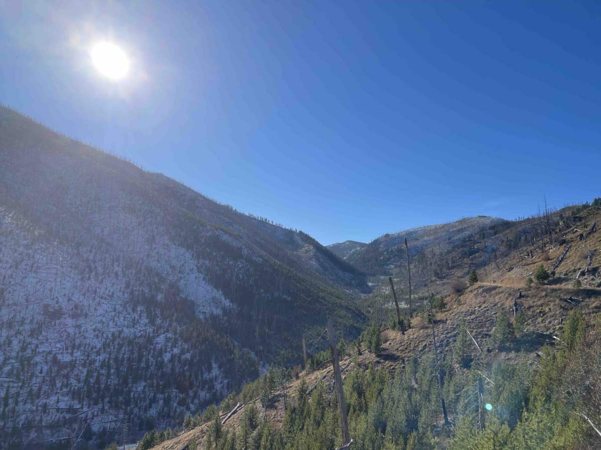
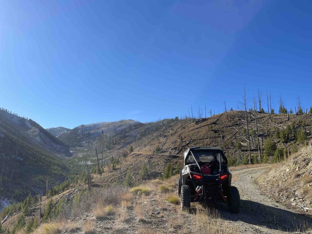
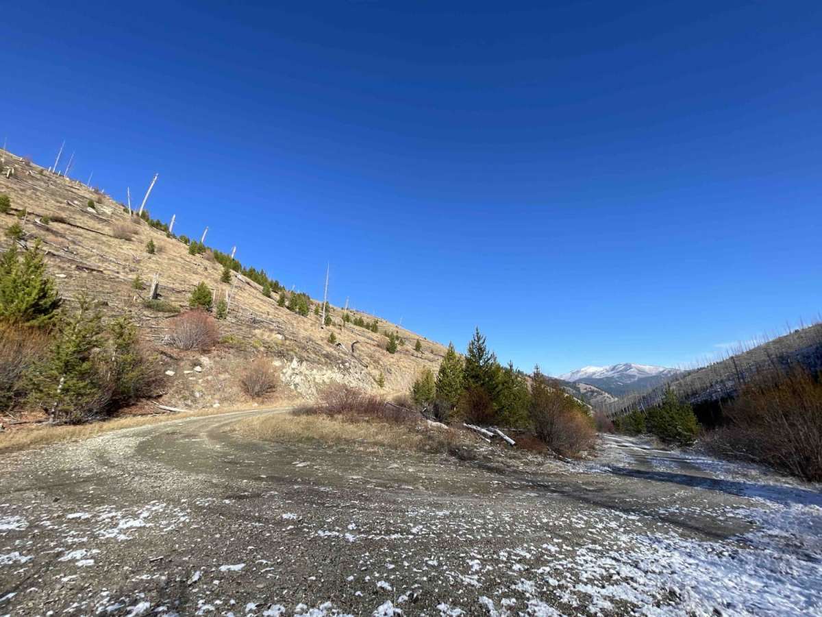
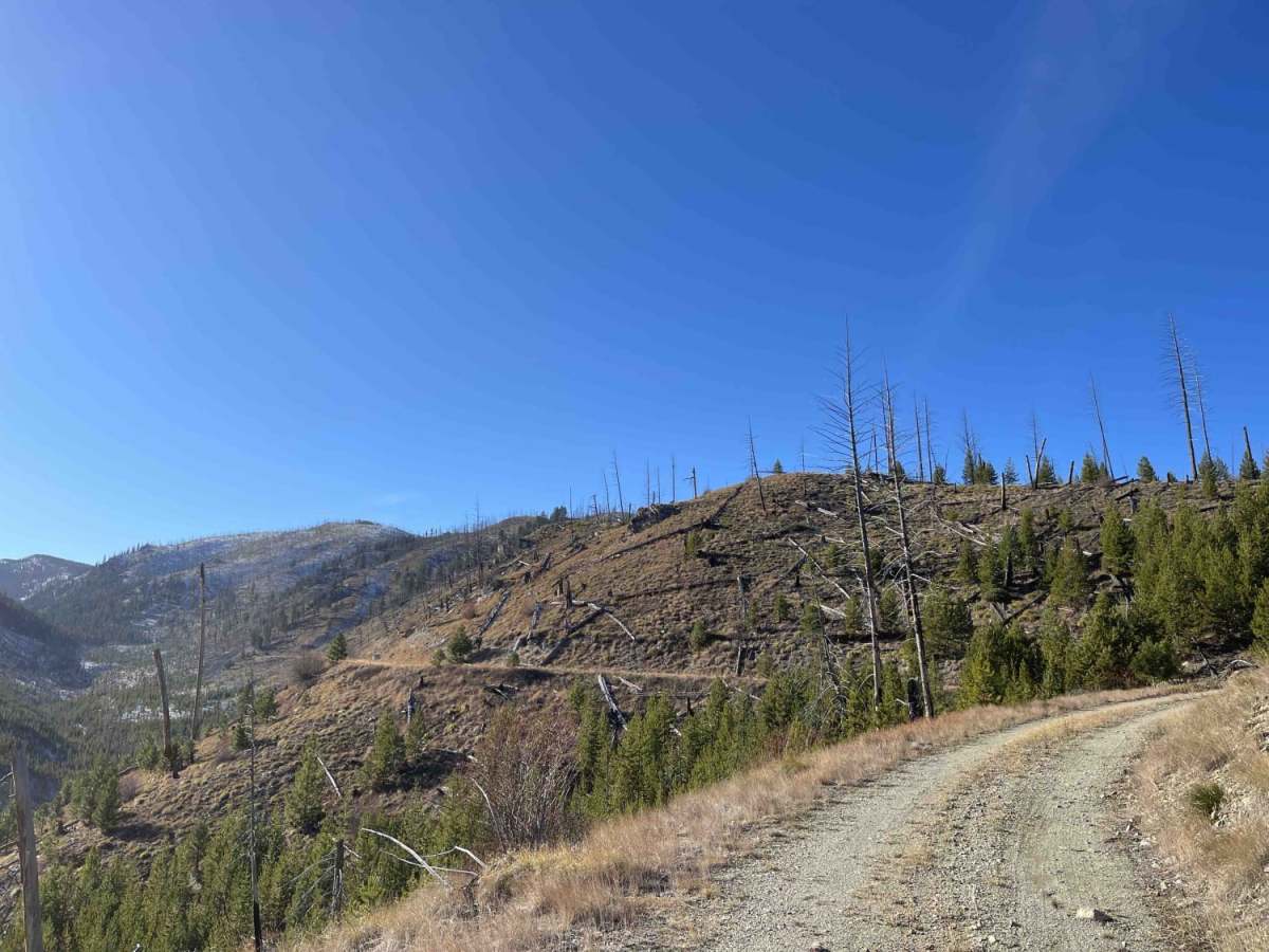
Little Blue Joint (Forest Development Road 5656) is a scenic, beginner-friendly out-and-back trail in the Bitterroot National Forest that offers offroaders an easy but breathtaking drive through a dramatic burned-out hillside canyon. Extending approximately 2.6 miles, this route climbs from an elevation of 5,093 feet to 5,839 feet along a narrow, single-lane shelf road. While it is rated a 2 out of 10 for difficulty and features a generally easy graded dirt surface, drivers must remain alert due to the shelf-road nature and very few pullouts for oncoming traffic. Four-wheel-drive is recommended to safely navigate the elevation change and any loose debris on the road.
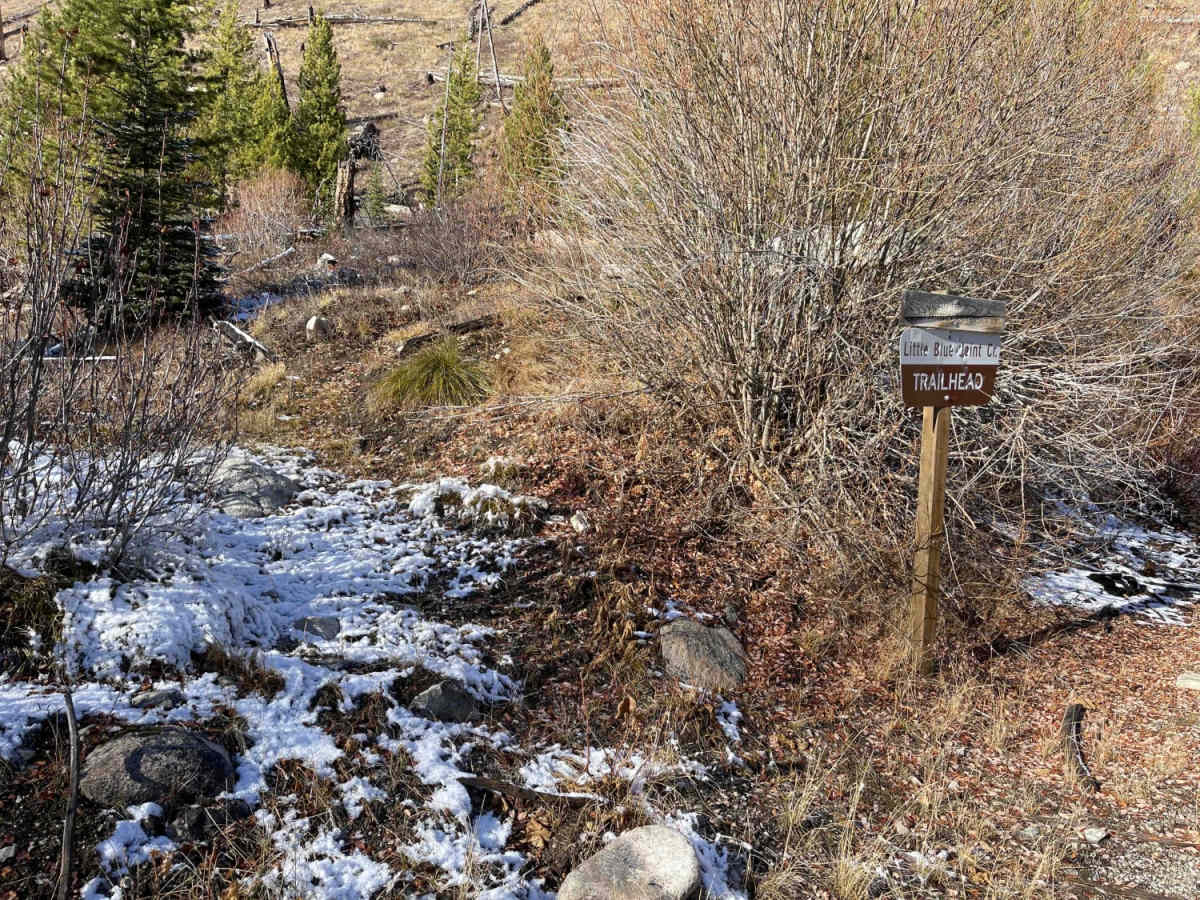
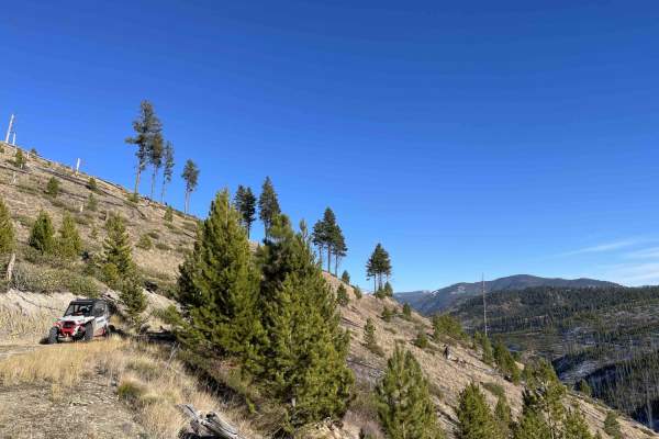
The trail follows Little Blue Joint Creek, providing convenient access to the Little Blue Joint Creek hiking trail about halfway up, which connects to a broader network of backcountry trails. The route dead-ends overlooking the hiking trail, where a scenic camping spot provides panoramic views down the canyon. Due to its remote location and high elevation, there is no cell service, and the road can become impassable during winter months. High-clearance vehicles, SxSs, and dirt bikes will find this short mountain drive an excellent addition to their Bitterroot National Forest itinerary.
Access Description
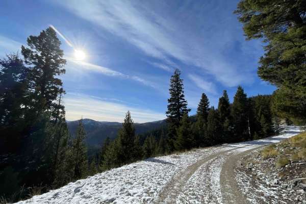
This is a narrow, single-lane shelf road with very few pullouts for oncoming traffic. There is no cell service in the area, and the trail may be impassable during the winter due to snow. No permits or fees are required for standard forest road access.


 Offroad