Trail Overview
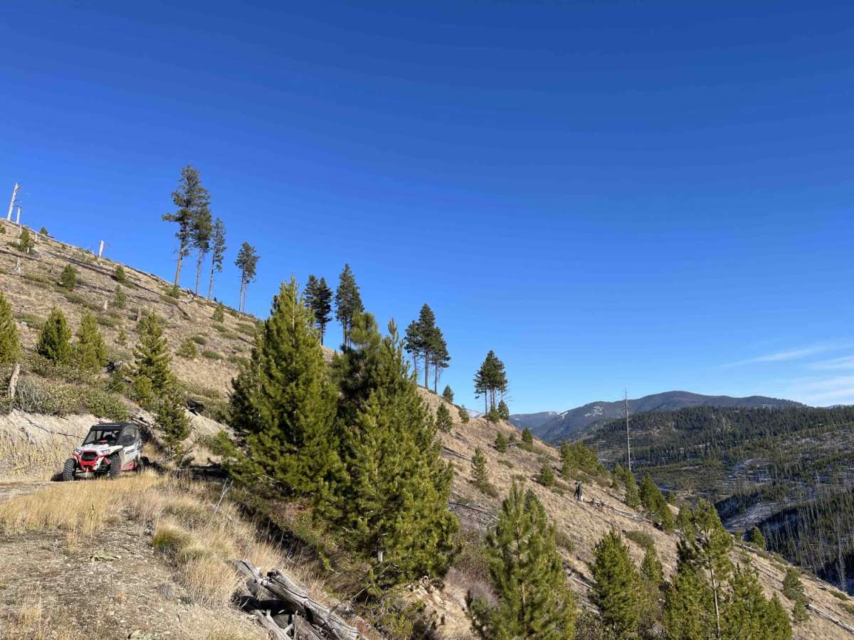
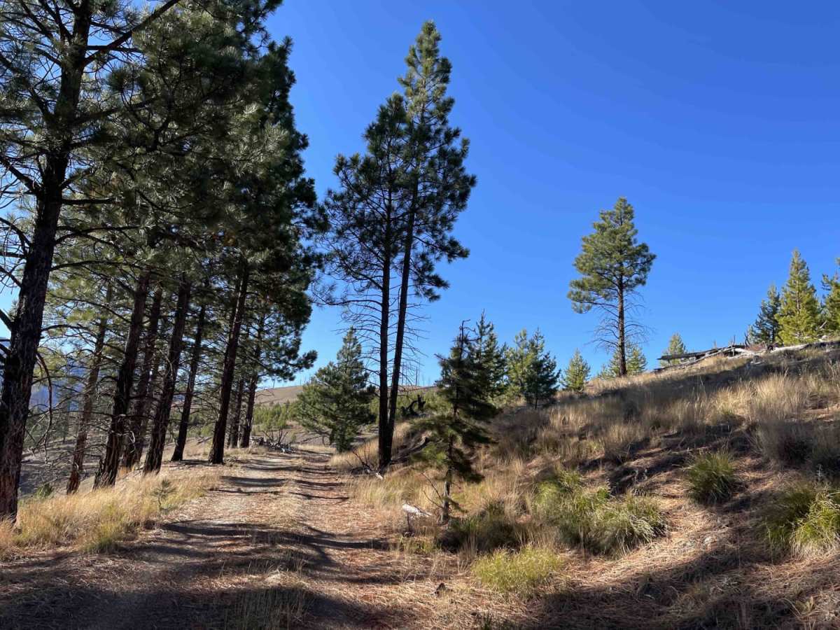
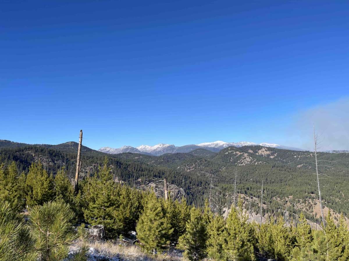
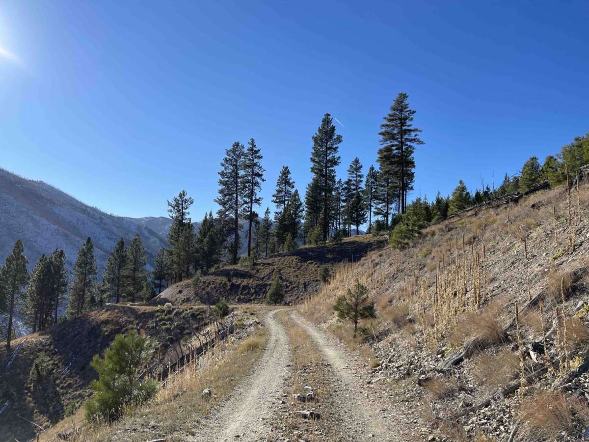
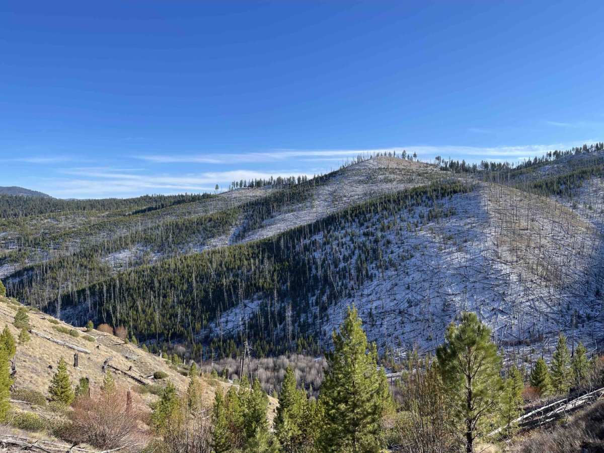
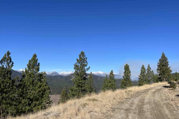
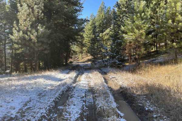
Lower Little Blue Joint is a short, scenic spur trail designed for offroaders seeking a quick side trip with a spectacular payoff in the form of a sweeping 270-degree mountain view. Branching off the main Little Blue Joint Trail, this 0.8-mile route takes drivers through a gentle elevation change, starting at around 5,763 feet and dropping to about 5,539 feet. The trail surface consists primarily of well-graded dirt, making it highly accessible for most stock four-wheel-drive vehicles, SUVs, and SxSs. Despite its mild technical rating of 2, the trail is notably narrow with limited pullouts for oncoming traffic, requiring drivers to stay alert and look ahead.
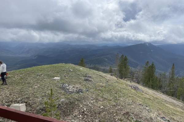
At the end of the descent, drivers are rewarded with a spacious, wide-open turnaround area that offers ample room to park, walk around, and take in the panoramic alpine vistas. Because there is no cellular service in this remote area, preparing with downloaded offline maps before heading out is highly recommended. There is no winter maintenance on this route, making it seasonal and best enjoyed from late spring through autumn when the trail is clear of heavy snow. Visitors should plan ahead for self-recovery and pack standard trail essentials, as help can be far away in this scenic portion of the national forest.