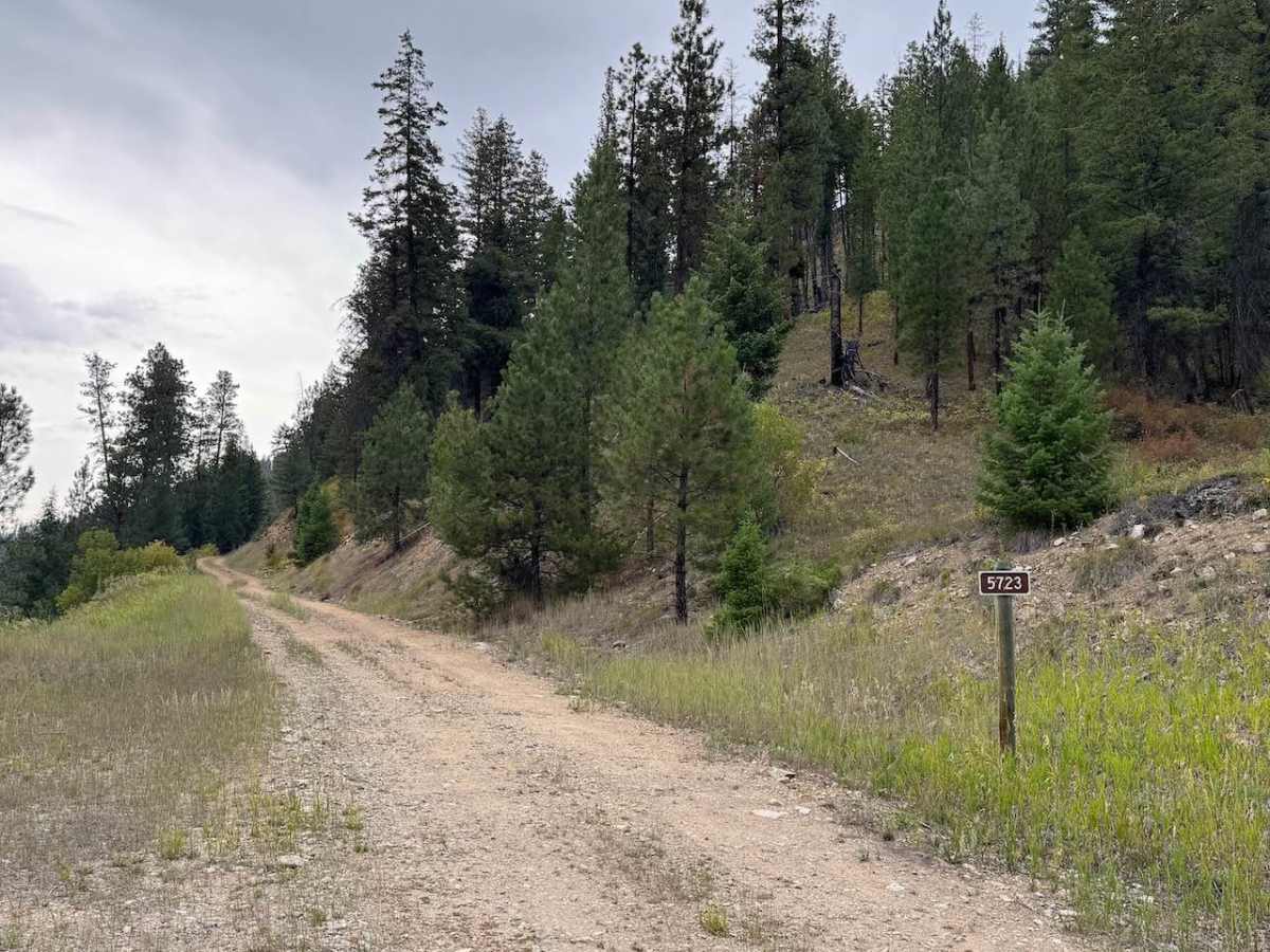
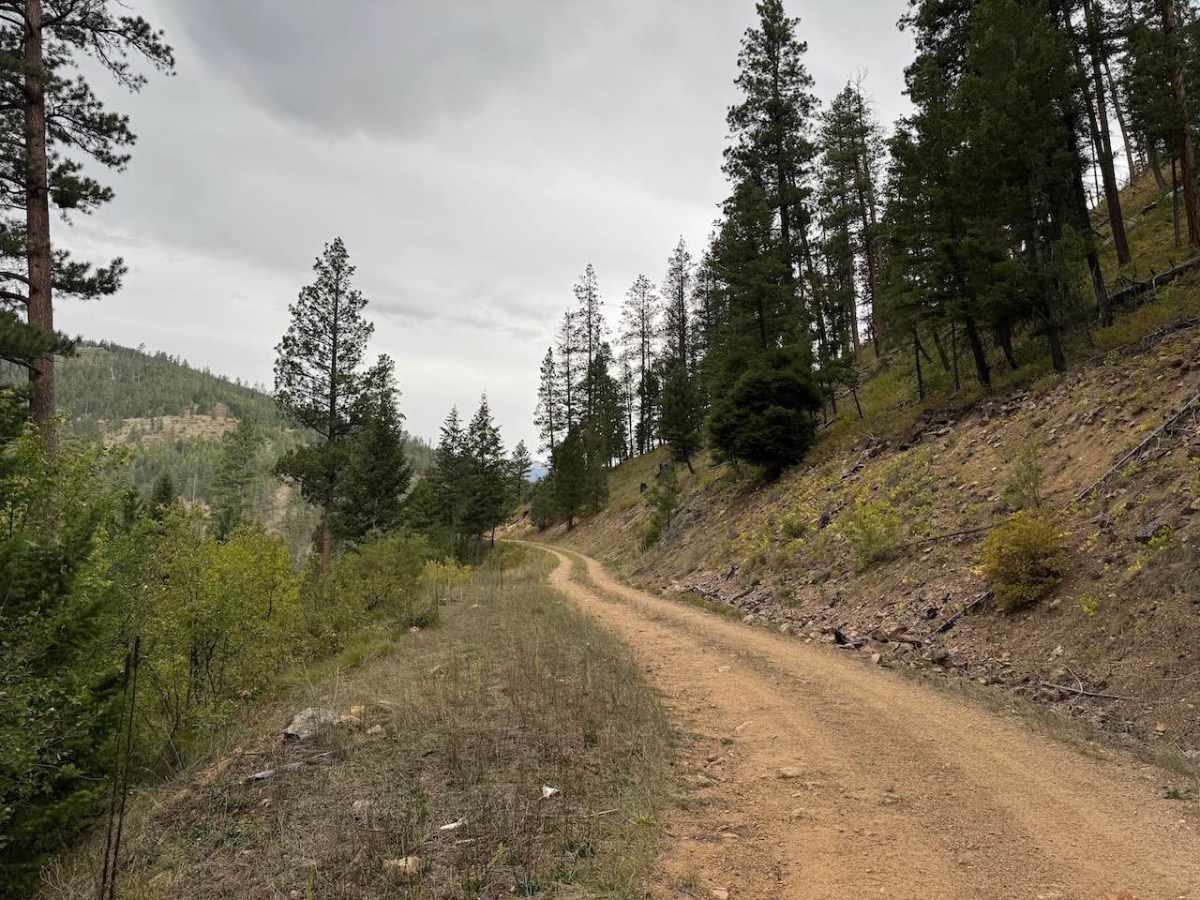
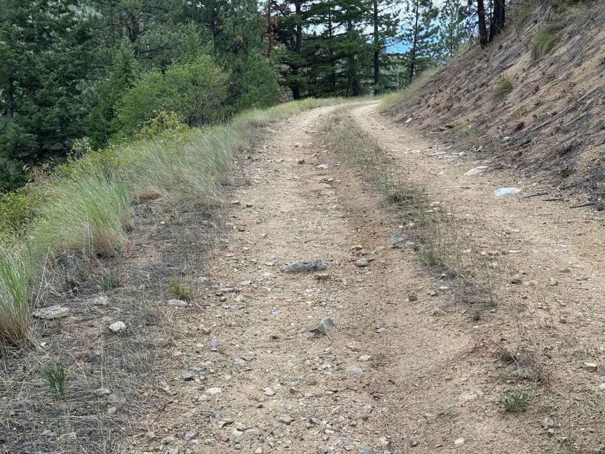
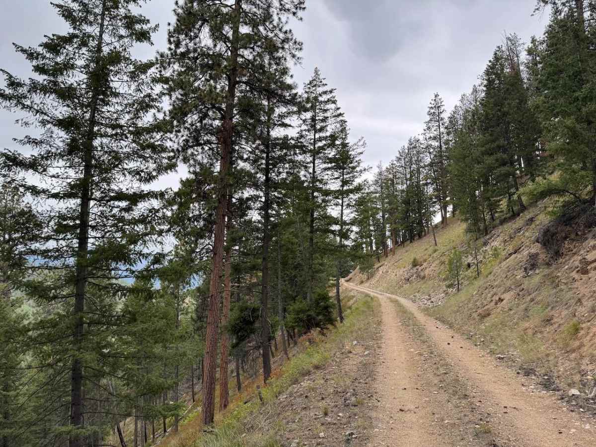
Trail Overview
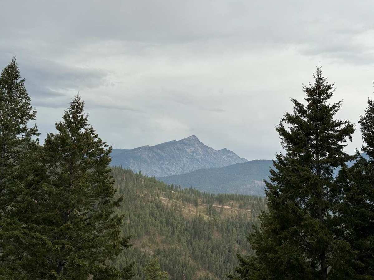
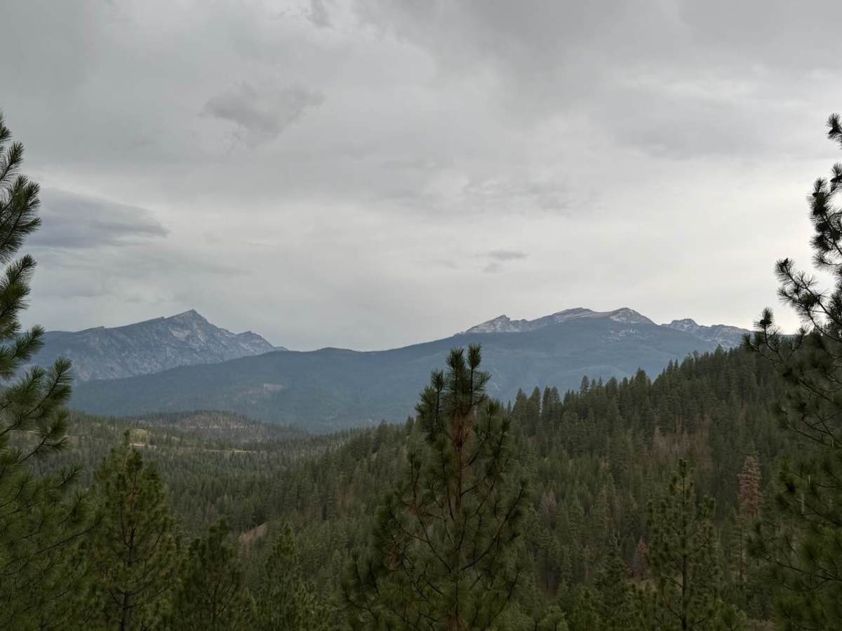
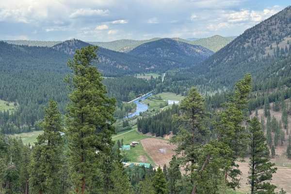
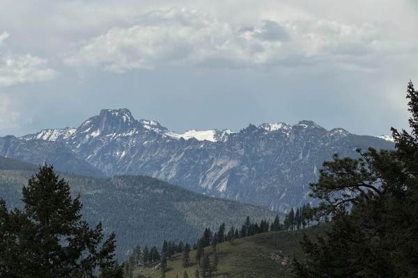
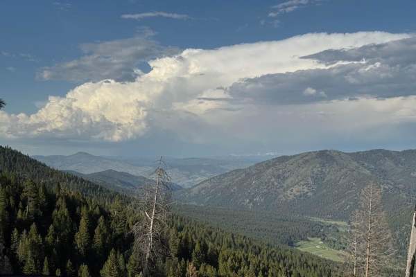
Eastside Piquett is a single-vehicle-wide, double-track trail with mostly rocky surface, though rocks rarely exceed eight inches in diameter. The trail has some moderately deep ruts and a few potholes, but nothing that most vehicles couldn't maneuver. There are a few small areas and pullouts to pass oncoming vehicles. Much of the trail follows a solid ledge, with a few off-camber spots along the way. The climb is gradual and mostly consistent, and there are some good views near Trapper Peak and into the valley north of Darby, Montana. In the last half mile, the trail narrows due to overgrowth, so light pinstriping is possible. The trail ends at a large pullout/turnaround, and beyond that, it continues as a 50-inch trail called Upper Eastside Piquett. This trail is open year-round.
Difficulty
This trail is narrow the entire way and becomes narrower in the last half mile. There are still a few areas where you could pass an oncoming vehicle. The surface is rocky, but nothing exceeding 8 inches in diameter. The last section has a row of bushes that really grow into the trail. You can still manage to make it past them with a light scraping of branches. There are a fair number of ruts in this trail, which makes it a bit off camber in spots. This trail should be avoided when there is snow unless you are very confident in your snow wheeling abilities.