Caruthers Lake

Total Miles5.6
Technical Rating
6Moderate
Best TimeSummer, Fall
Trail TypeHigh-Clearance 4x4 Trail
Accessible By
Open Trail Map

Trail Overview

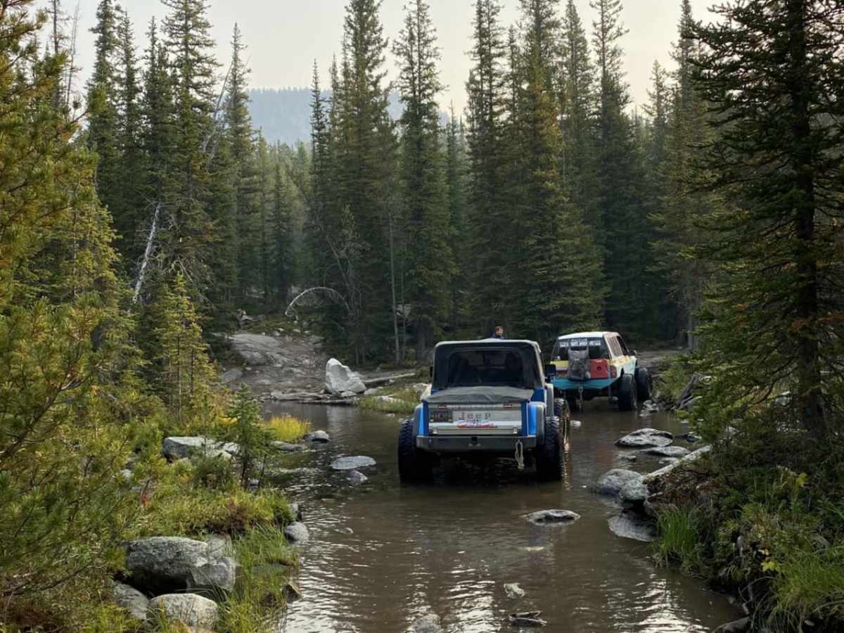
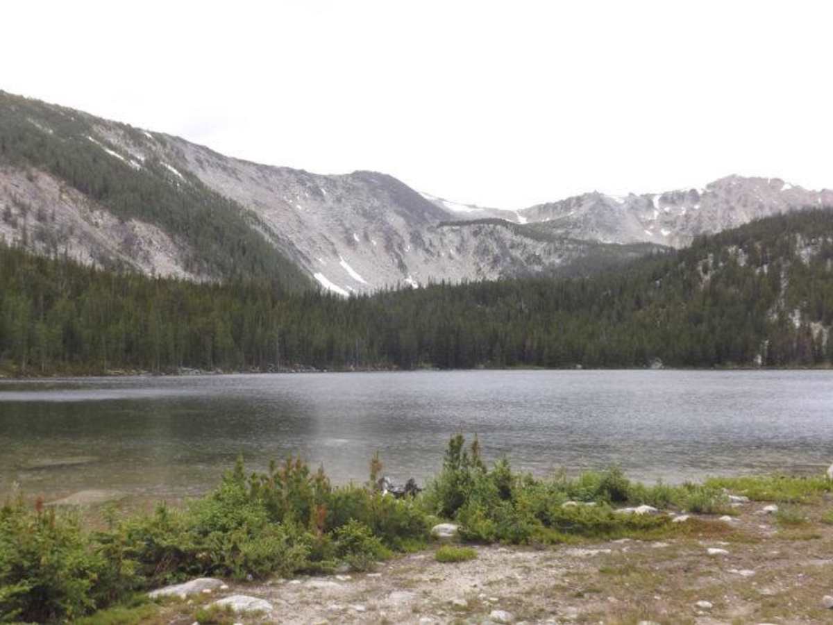
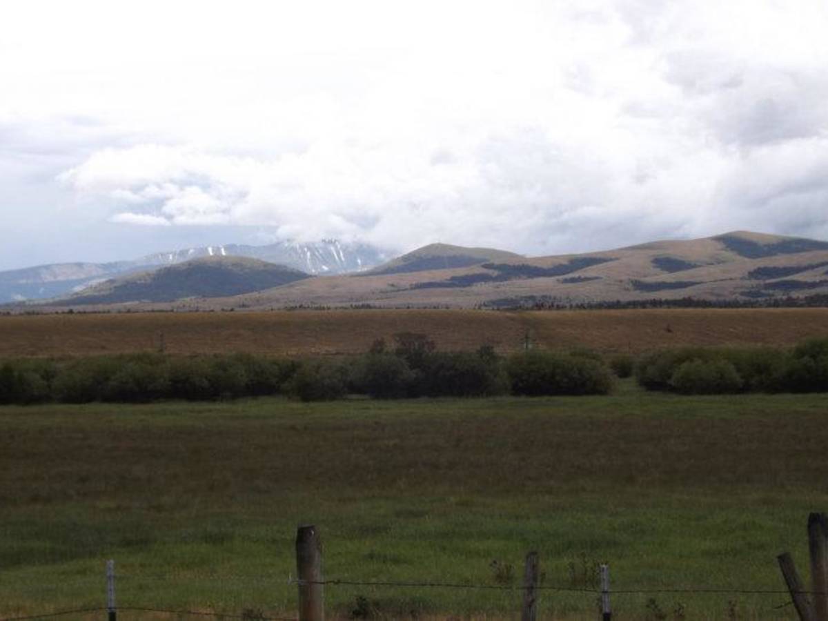
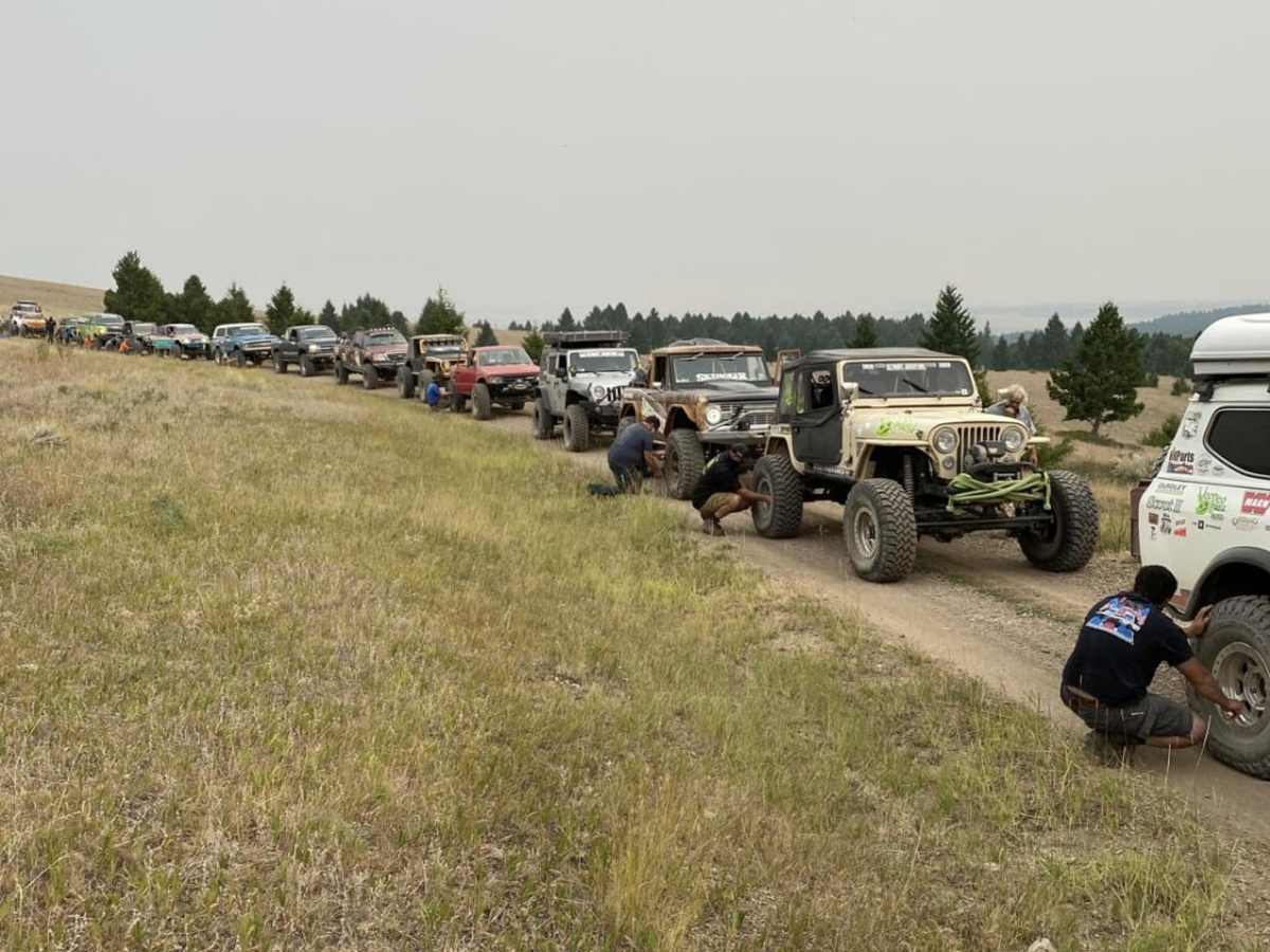
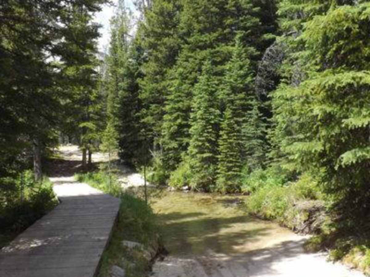
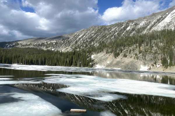
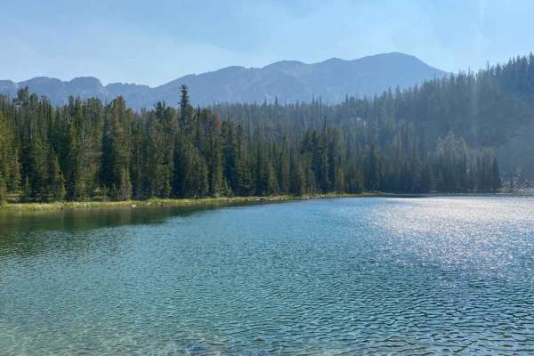
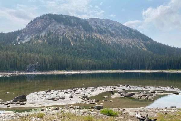
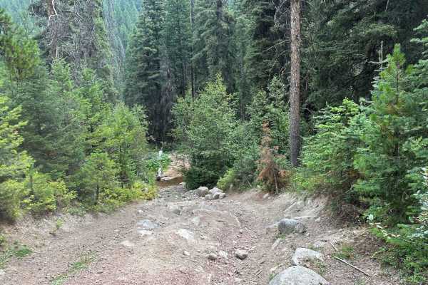
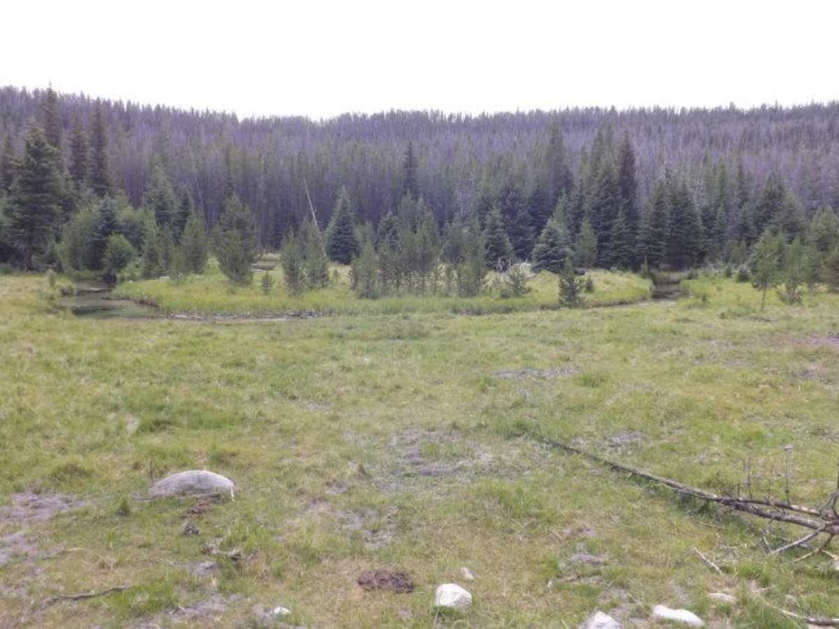
Caruthers Lake is an exceptional mountain trail for intermediate to experienced offroaders seeking a challenging climb with stunning alpine scenery and historic charm. Starting near the intersection of Forest Service Roads 670 and 8507 along Dempsey Creek, this 5.6-mile route climbs roughly 1,850 feet through the Beaverhead-Deerlodge National Forest to the shores of Caruthers Lake at an elevation of 8,114 feet. The trail demands a capable four-wheel-drive vehicle with high clearance due to several technical obstacles, including large embedded boulders, loose rock gardens, and tight passages between mature trees that will test wheel placement and vehicle width. Along the way, drivers are treated to dense pine forests, rushing creek views, and rocky, off-camber sections that require careful line selection. As you navigate the ascent, the trail passes near Bohn Lake, offering scenic spots to pull over and appreciate the rugged Montana wilderness. Multiple historic cabins line the route, providing a fantastic opportunity to park your SxSs or high-clearance rigs and explore these relics of the area’s mining and homesteading past. Because of the high elevation and heavy winter snowpack in the Flint Creek Range, this route is best run from mid-to-late summer through early autumn when the trail is clear of deep snow and mud. Be prepared for trail striping from overhanging branches, and ensure your vehicle is equipped with skid plates and rocker protection to handle the rocky terrain before reaching the high-alpine destination of Caruthers Lake.

Photos of Caruthers Lake

Technical Rating

6

Status Reports

Add Status Report
Noah D
Jul 18, 2026
2017 Toyota Tacoma
Open
Rough/Deteriorated
one 2ft ledge near the top lots of water deep enough to reach the frame of a Tacoma on 33s but no mud as the trail is mostly rock
han killberry
Jun 22, 2025
Open
Snow/Ice
Loose and slippery, but a great somewhat challenging ride. Encountered snow and turned around midway. 3" of snow by the time we left around 3pm. There was a deeper creek crossing about 1/3 of the way up, our full size bikes did OK but someone on a shorter bike will have problems until the flow slows a little.
J S
Aug 22, 2024
Open
Rough/Deteriorated
Definitely not a 4 difficulty anymore! Did move a couple rocks and used low range to crawl up some ledges with a couple of axel hits on the 31s. I just went to 35s and that’s going to help. We went 3 and a quarter miles ant turned back due to being late in the afternoon. Stopped at Bohn lake to check it out. Start this early in the day to get to Carruthers and back in the daylight. Great trip though!
Tarik DiDomenico
Jul 14, 2024
Open
DustyRough/DeterioratedWashboard
This trail is rated as a 4, but def seemed like a 5 to me. Very rough going, lots of big rocks and some ledges on steepish grades. If you want to get to the top lake, plan for a good 2-3 hrs up and 2 hrs back. We had to quit bc it was getting too late. Fun going, just slow. Had to get out to move rocks around a few times and having a spotter was helpful. The were a few others on the road, but if you have 2” clearance, not an issue to find a place to pull off in the woods. It was dry and dusty. Wide enough for a SUV (as long as you don’t mind getting some new scratches)…n glad I didn’t try to out a kayak on the roof…there were some low dead tree overhangs to navigate.
Mike Dubya
Sep 23, 2023
Open
Rough/Deteriorated
Rylan Jeppesen
Aug 06, 2023
Open
NormalMuddy/Wet
Hunter Pauley
Jul 08, 2023
Open
Muddy/Wet

Caruthers Lake Trail can be accessed by the following ride types:

  • Single Track
  • 50 Inch
  • 60 Inch
  • High Clearance

Access Description

The route is located within the Beaverhead-Deerlodge National Forest and is subject to US Forest Service motor vehicle use regulations. High-clearance vehicles and OHVs must have appropriate state permits or registration. Due to high elevation, the trail is typically closed by snow from late autumn through early summer.

Caruthers Lake Map

The onX Offroad Difference

onX Offroad combines trail photos, descriptions, difficulty ratings, width restrictions, seasonality, and more in a user-friendly interface. Available on all devices, with offline access and full compatibility with CarPlay and Android Auto. Discover what you're missing today!

Open Trail Map