Calypso Trail

Total Miles8.5
Technical Rating
3Easy
Best TimeSummer
Trail TypeHigh-Clearance 4x4 Trail
Accessible By
Open Trail Map

Trail Overview

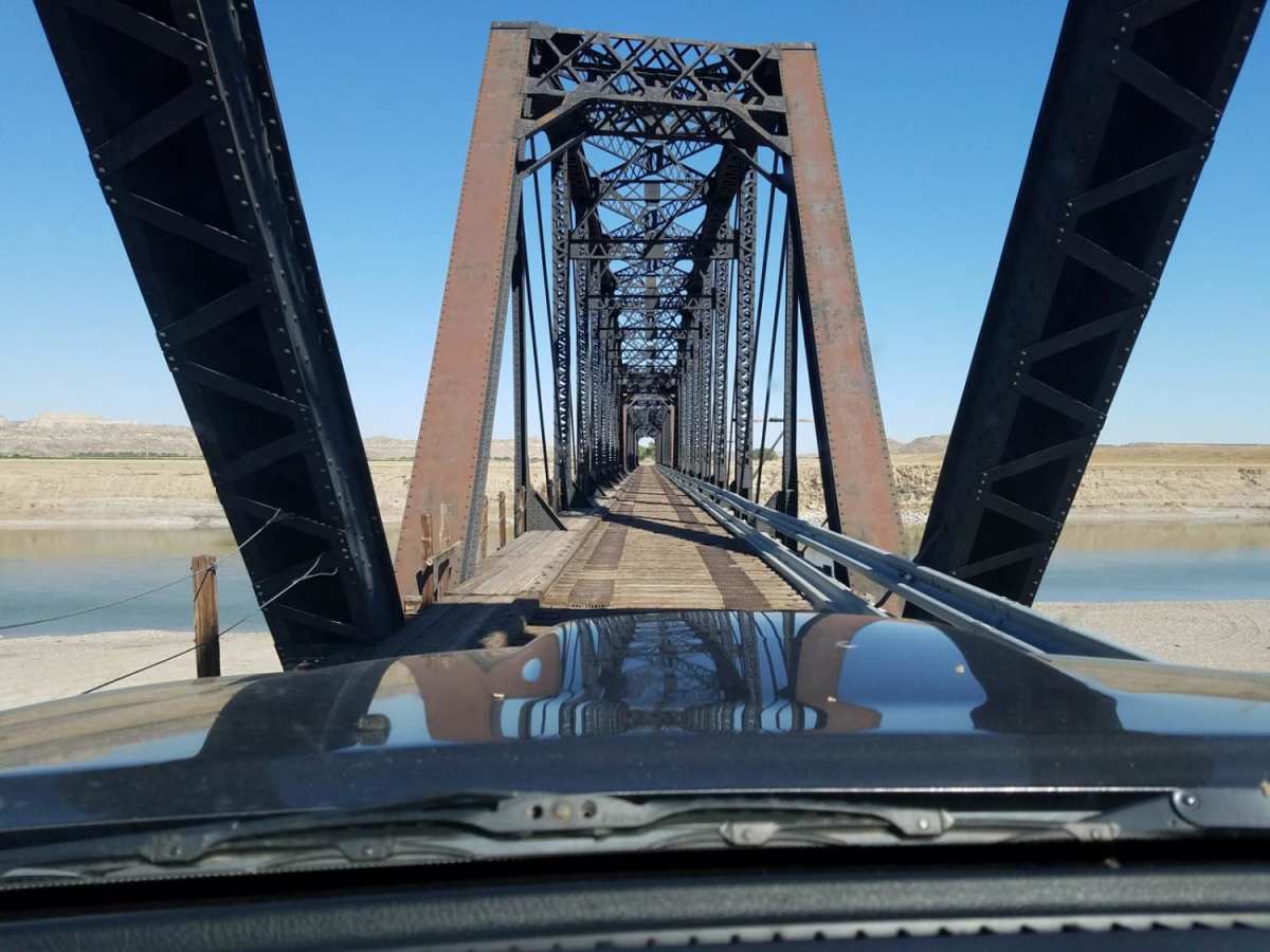
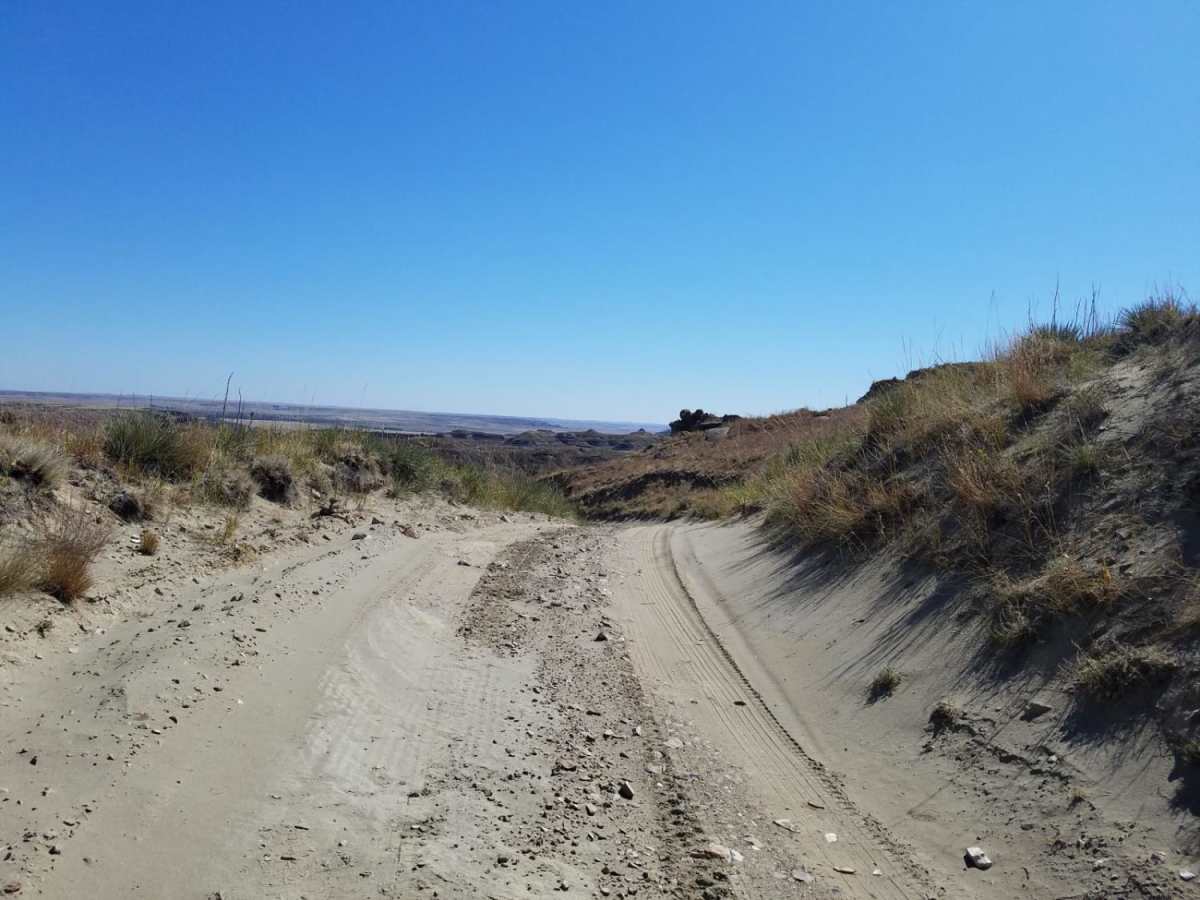
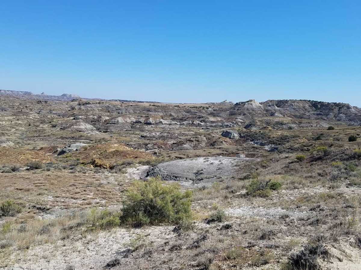
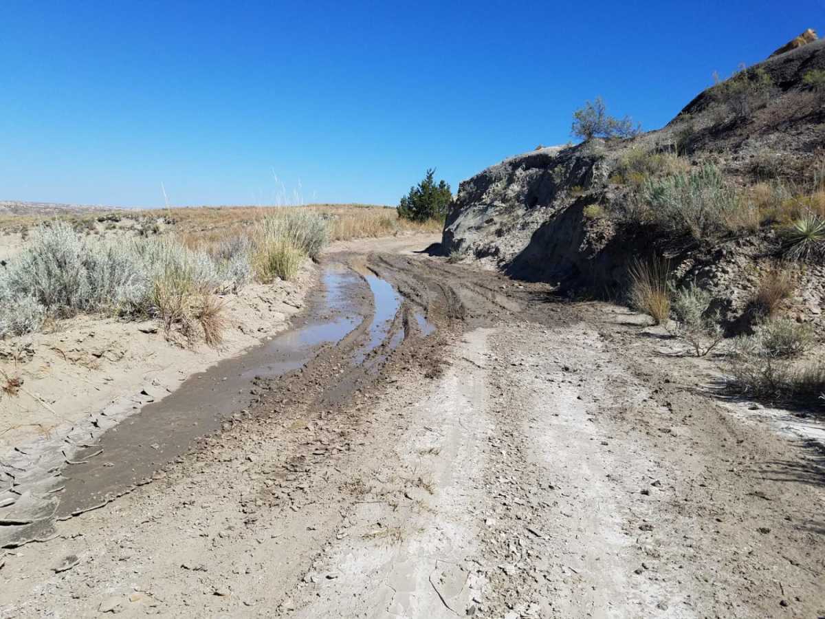
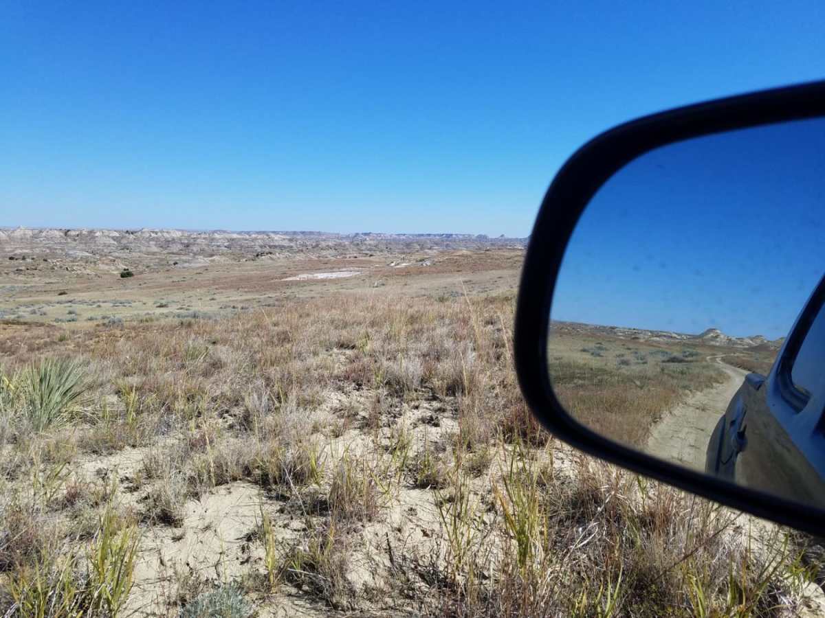
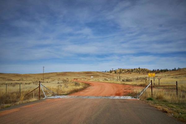
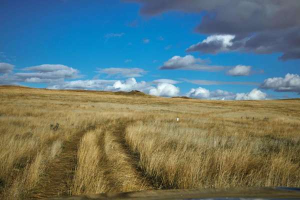
The Calypso Trail is a scenic, beginner-friendly 8.5-mile point-to-point dirt route that offers offroaders an immersive journey through the rugged terrain of the Terry Badlands Wilderness Study Area. Starting with a crossing of an iconic, historic early-1900s Milwaukee Road railroad bridge over the Yellowstone River, this trail winds through dramatic clay formations, offering panoramic views of badlands topography. While highly accessible and rated easy during dry conditions, the route consists of silty clay that quickly transforms into an incredibly slick, greasy surface when wet. Offroaders should expect a narrow track with shallow drop-offs on either side. With elevation ranging from 2,224 feet up to 2,729 feet and a mild elevation gain of approximately 250 feet, the trail is suitable for most high-clearance four-wheel-drive vehicles and stock SUVs when dry. However, the presence of several steep clay slopes means that even light precipitation can render the route impassable, making dry-season travel highly recommended. The surrounding landscape features striking geologic features, including sandstone arches, caprocks, and deep coulees, with opportunities to spot local wildlife such as mule deer and pronghorn.

Photos of Calypso Trail

Difficulty

Majority of the trail is easy unless there is water on it. Traction will drastically be reduced if there are muddy conditions.

History

Accessing the Calypso Trail requires crossing a historic early-1900s railroad bridge. Originally constructed for the Chicago, Milwaukee, St. Paul and Pacific Railroad (commonly known as the Milwaukee Road), this bridge spans the Yellowstone River and now serves as a unique vehicle crossing leading into the badlands.

Technical Rating

3

Status Reports

Add Status Report
D M
Jul 27, 2026
2013 Jeep Wrangler
Open
Dusty
Trail seems to have been graded recently taking care of all the wash outs. However with the still dry conditions on this trail we found a few soft inclines that you needed to keep your momentum to make it up. Other than these we had a great time taking in the amazing views and history of this trail.
Weston Danley
Jun 19, 2026
2018 Ford F-Series
Open
Dusty
Jim Petersen
Sep 07, 2025
Open
Trail was dry and easy. There are a few spots where you have to slow down and there are ruts and a small rock ledge. It is a beautiful trail. We even got to see some prairie dogs!
Colten Harkrider
Sep 01, 2025
Open
DustyRough/Deteriorated
Trail was in pretty good shape. Views are fantastic. The Milwaukee railroad bridge coming in is open, but there is construction work set to begin sometime in the future so it may be best to call the BLM office in Miles City before heading to the trail. Gets pretty narrow in spots and there are quite a few blind corners. Couple of steep climbs but nothing too difficult. Most of the trail is fairly smooth and my gladiator could handle it in 2wd. Be mindful after rain though as the trail could get quite difficult with some mud. I throughly enjoyed how in a lot of places on this trail there were small hills to climb that when cresting over the top you were met with the amazing view of the terry badlands and how far it reaches.
Tracy Barnes
Oct 20, 2024
2021 Jeep Wrangler
Open
Normal
The old Milwaukee railroad bridge is open for easy access to the Calypso Trail. The trail itself was very good, looks like it may have been recently bladed. Only saw 2 other vehicles.
Sondra Jones
Jul 09, 2024
Obstructed
the bridge from Terry to the Terry badlands trail is closed for maintenance.

Calypso Trail Trail can be accessed by the following ride types:

  • Single Track
  • 50 Inch
  • 60 Inch
  • High Clearance

Access Description

The trail is located within the Terry Badlands Wilderness Study Area, which is managed by the Bureau of Land Management (BLM). There are no fees or permits required to access the trail, but vehicles must remain strictly on the designated trail to protect the fragile wilderness ecosystem. Travel should be avoided entirely during or immediately after rainfall, as the silty clay surface turns extremely slick and becomes impassable even for highly capable four-wheel-drive vehicles.

Calypso Trail Map

The onX Offroad Difference

onX Offroad combines trail photos, descriptions, difficulty ratings, width restrictions, seasonality, and more in a user-friendly interface. Available on all devices, with offline access and full compatibility with CarPlay and Android Auto. Discover what you're missing today!

Open Trail Map