Trail Overview
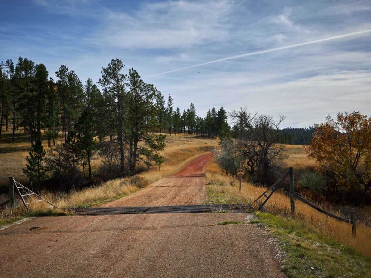
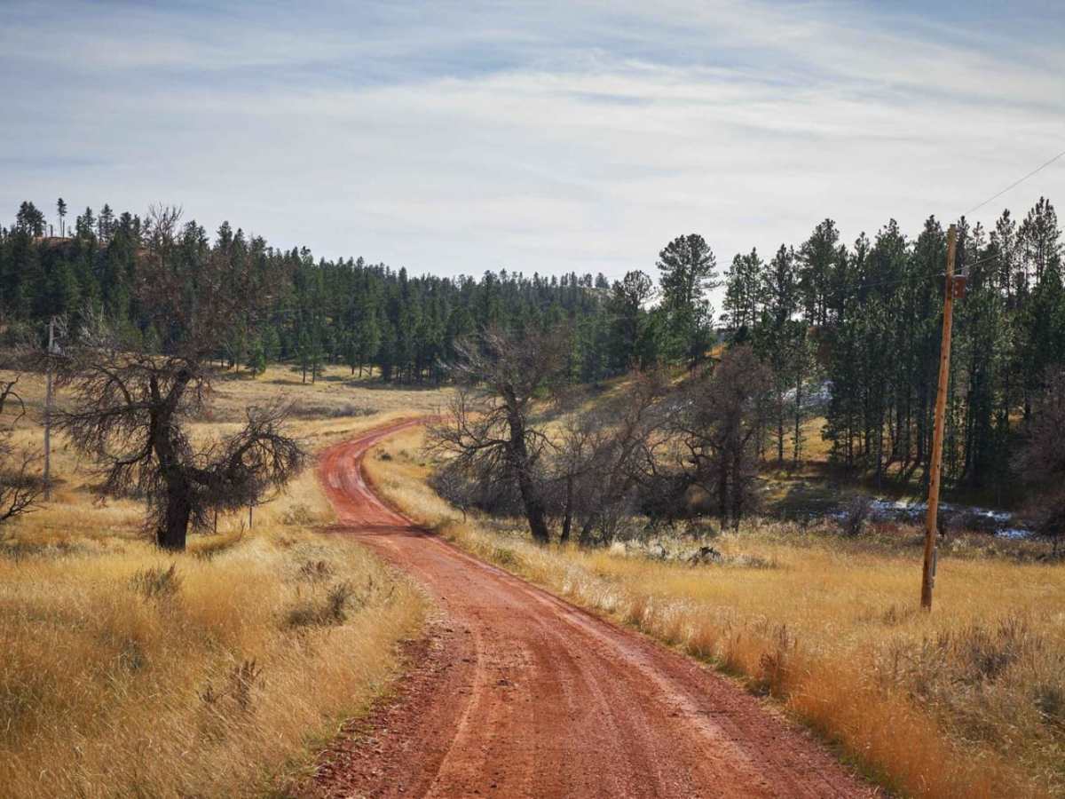
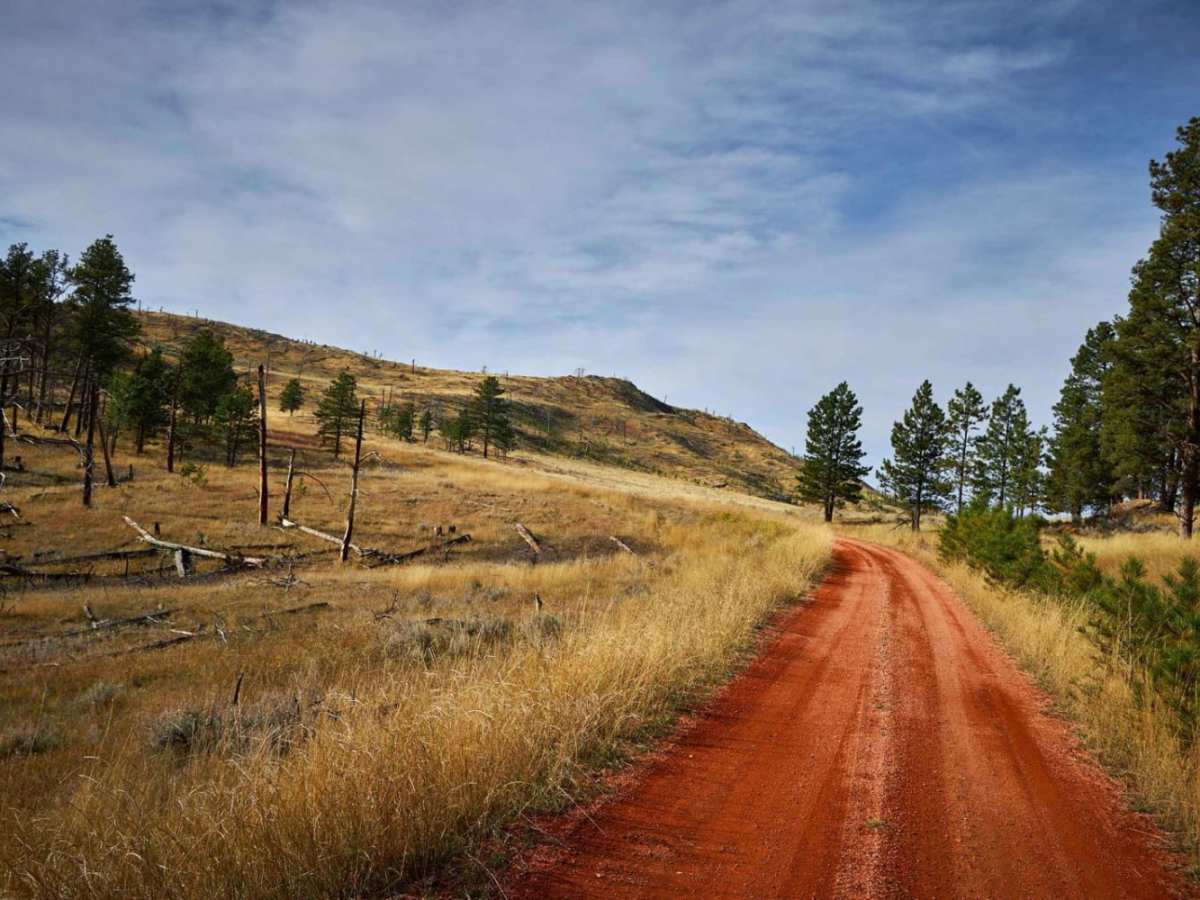
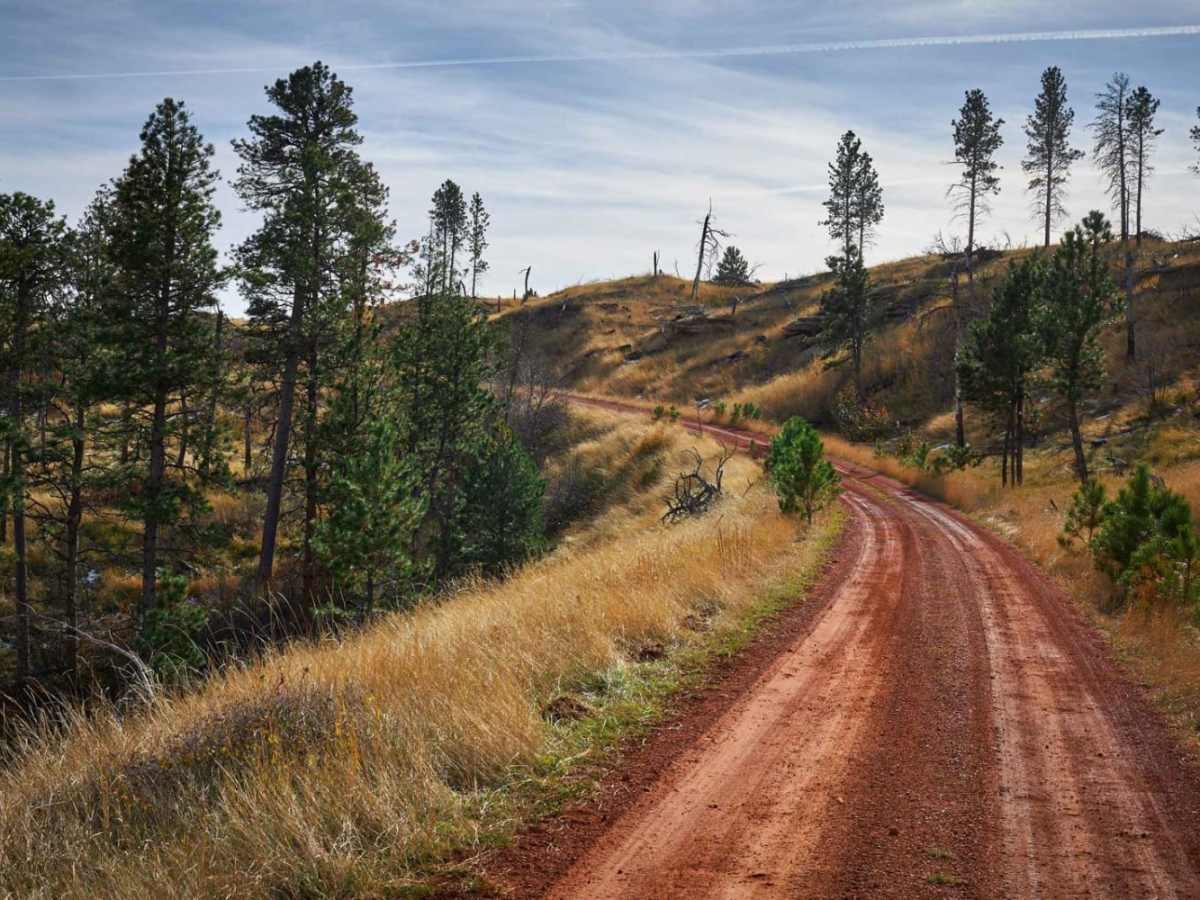
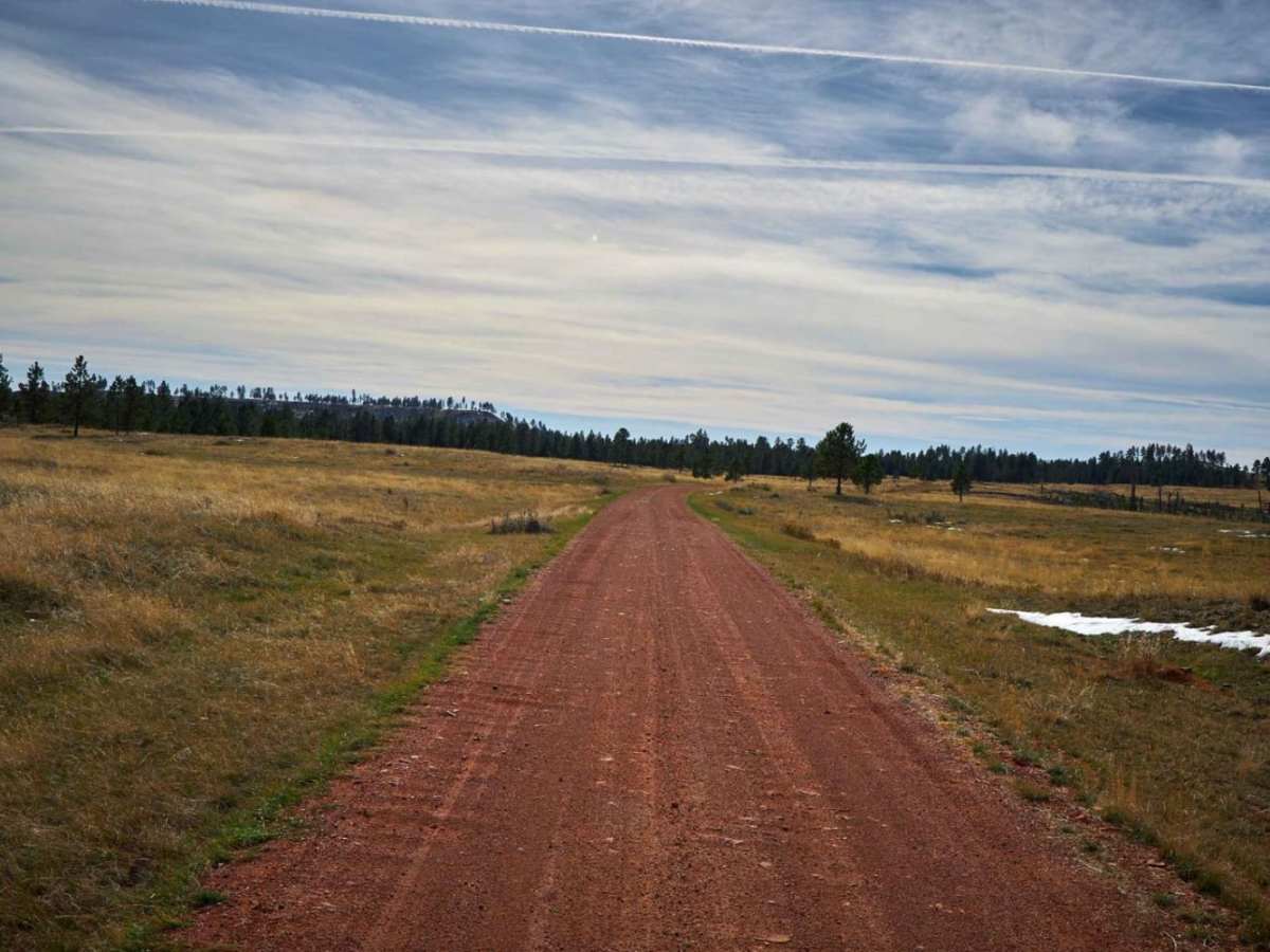
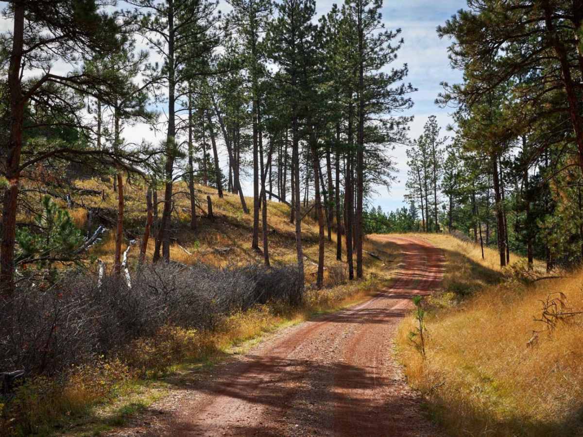
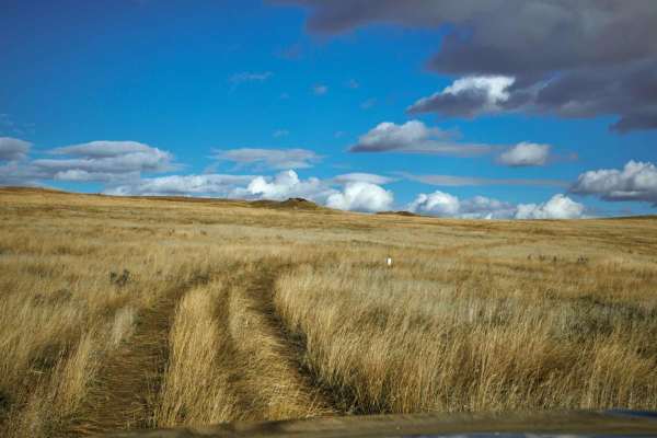
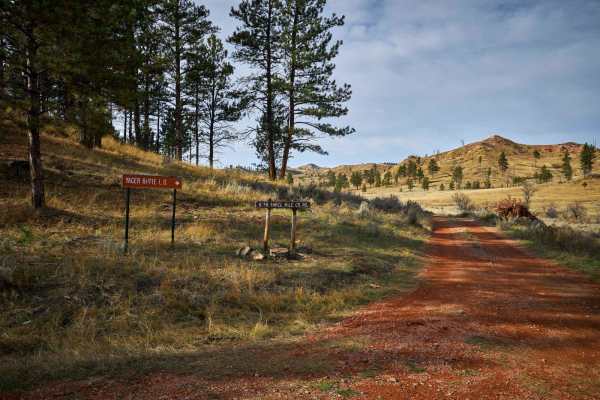
Lemonade Road Part 1 is an easy, scenic offroad route through the Custer Gallatin National Forest that is perfect for beginners, families, and anyone looking for a relaxing dirt-road drive. Stretching approximately 7.3 miles, this single-lane red dirt road winds and weaves its way up, over, and through the beautiful Montana landscape, starting just off US Highway 212 west of Broadus. Drivers will climb from a minimum elevation of 3,422 feet to a high point of 4,005 feet, experiencing a mild 679 feet of elevation gain and 850 feet of loss along the way. The route is highly accessible, making it an excellent option for sport utility vehicles, trucks, and SxSs, though four-wheel-drive may be needed if wet weather makes the red dirt slick.
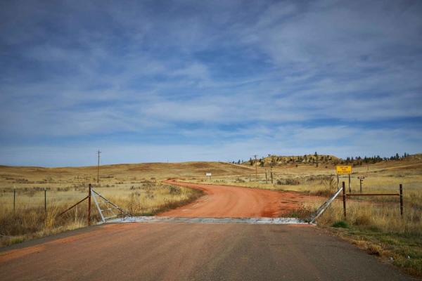
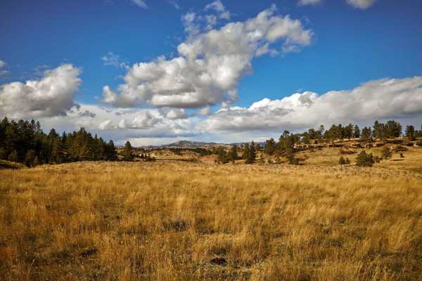
With a technical rating of 1 out of 10, the track features gentle grades with a primary surface of red dirt and occasional light rock, with absolutely no major obstacles to navigate. As you travel, you will be treated to gorgeous, sweeping views of local landmarks like Threemile Buttes and lush meadows, with frequent opportunities to spot mule deer and other native wildlife. To reach the trailhead, head west from Broadus on US Highway 212 and look for the well-marked turnoff for Forest Service Road 4703, which is signed as Three Mile Road. This route serves as a perfect introductory trail to the area's offroad network, providing a smooth and visually rewarding journey through the forest.