Trail Overview
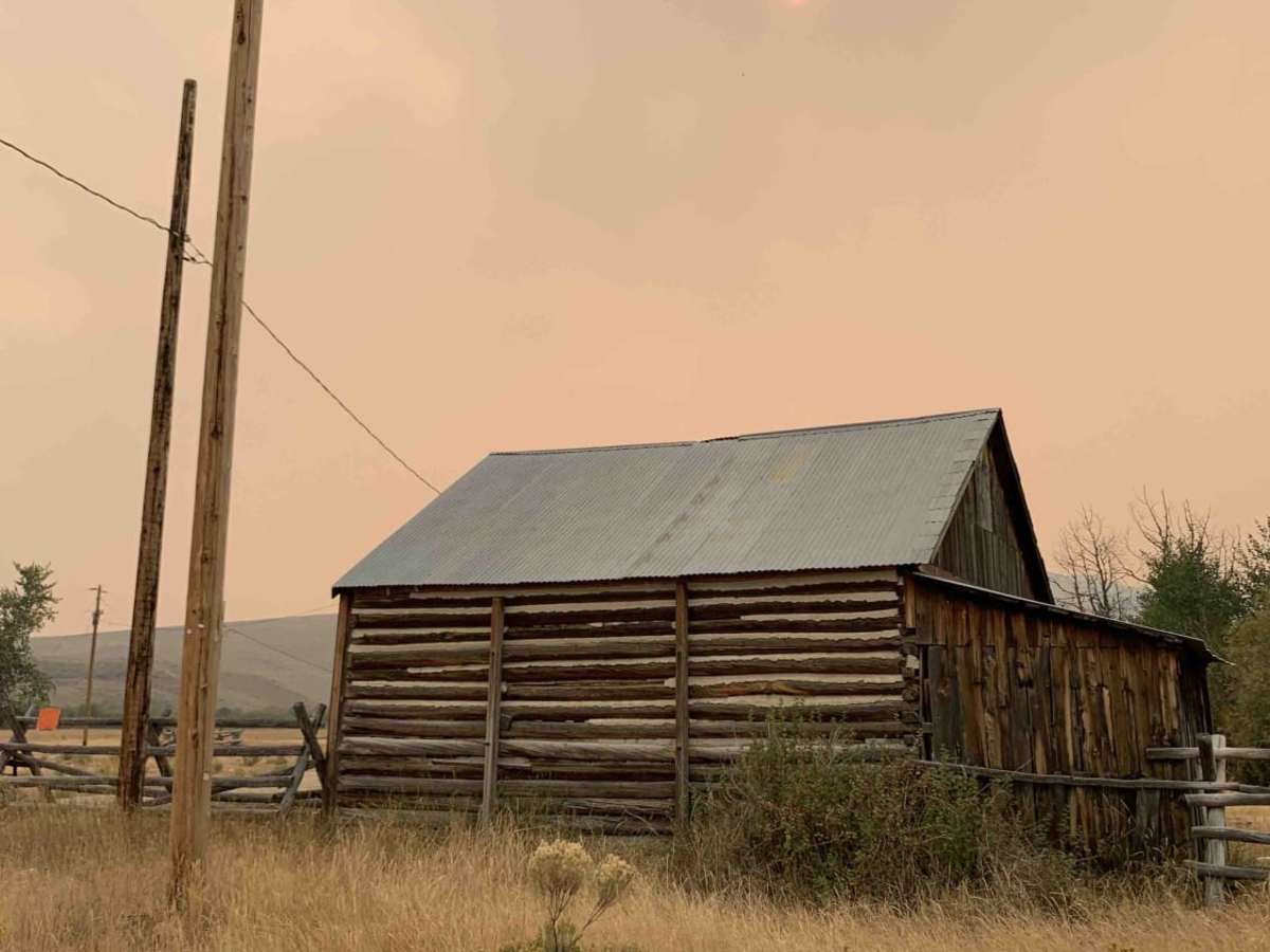
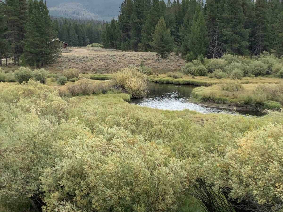
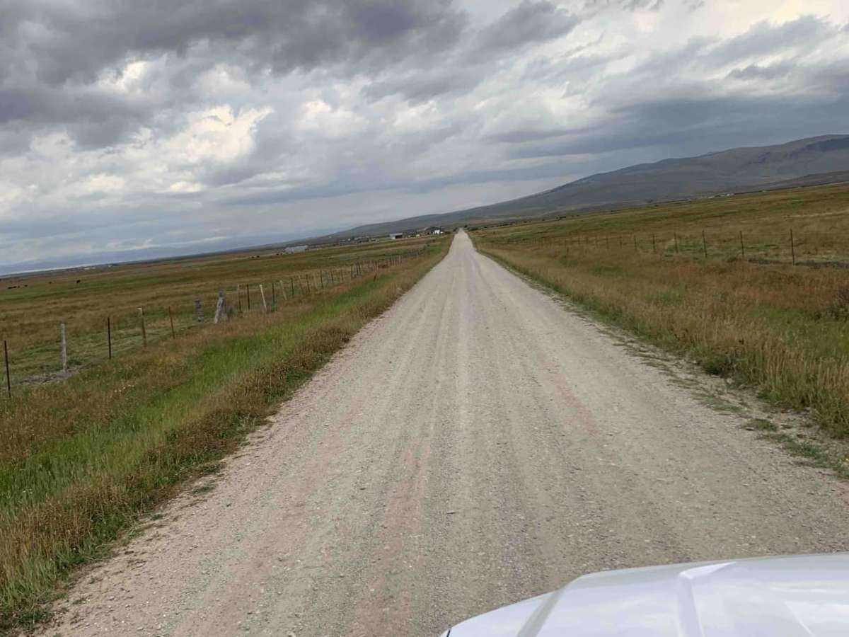
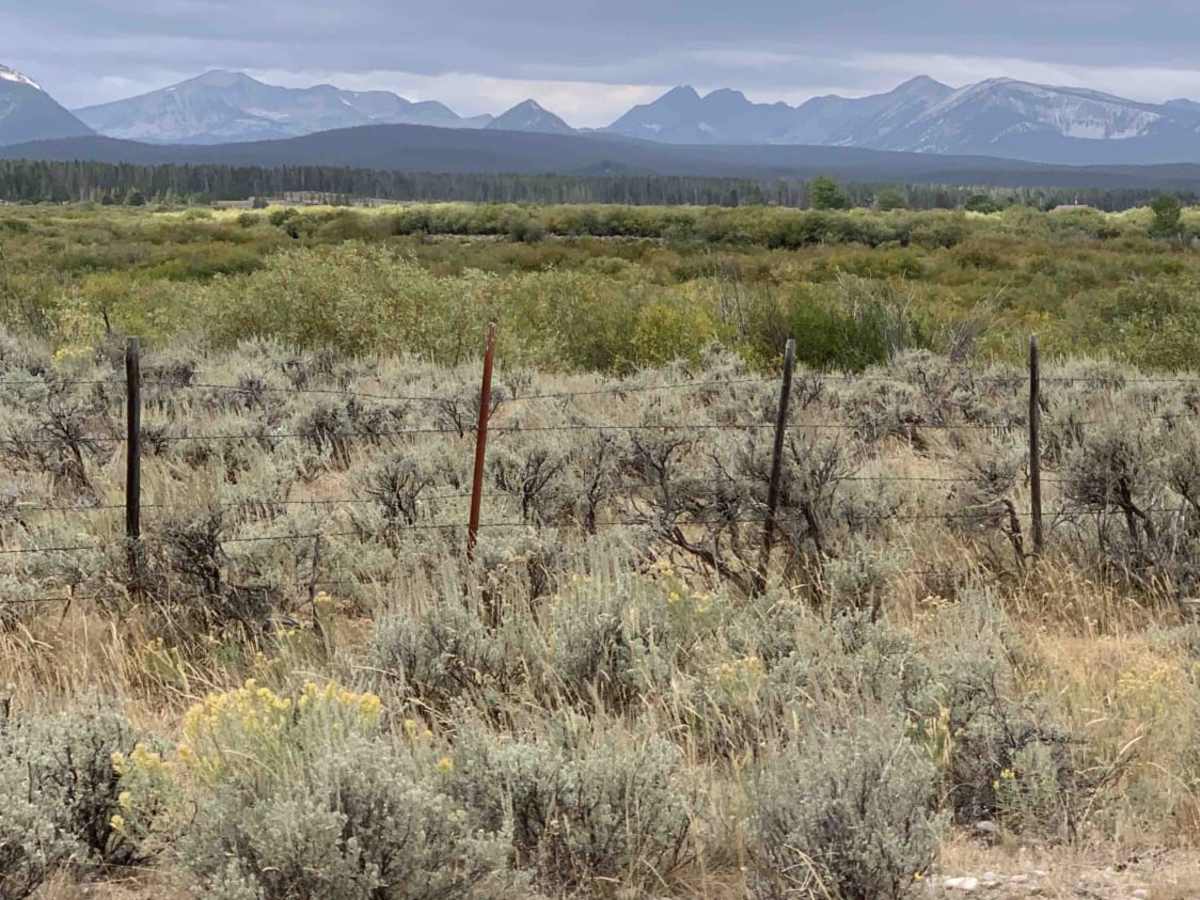
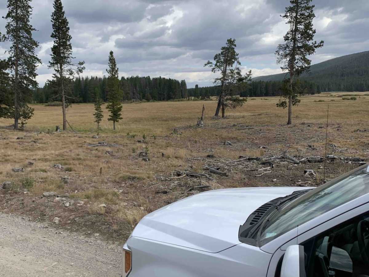
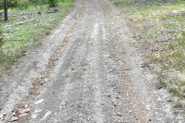
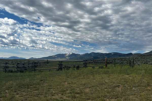
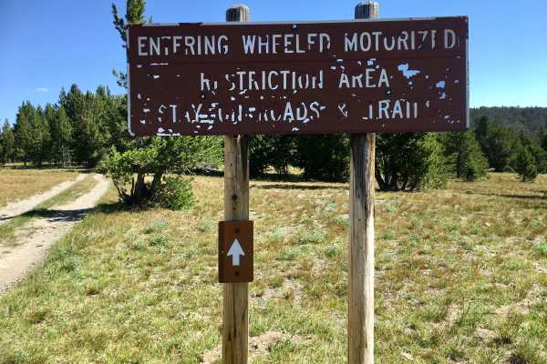
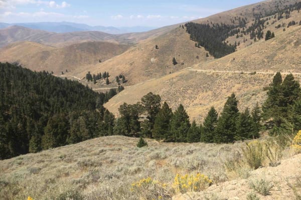
Big Hole - Road 181 is an easy-going 41.8-mile dirt route that serves as an excellent scenic drive for families, beginners, and history enthusiasts looking to explore the beautiful Beaverhead-Bitterroot region. Bookended by Highway 278 near Jackson, Montana, to the north and the Shoshone Ridge Interpretive Site to the south, this trail winds through public and private ranch lands, partially tracking the peaceful Big Hole River and the historic Nez Perce National Historic Trail. With elevations ranging from 6,205 to 7,628 feet, the route features gentle climbs and descents totaling just under 2,000 feet of cumulative elevation gain. The road is well-maintained and highly accessible, meaning standard high-clearance four-wheel-drive vehicles, side-by-sides (SxSs), and even most stock SUVs can comfortably navigate the terrain without encountering any technical offroad obstacles.
Along the journey, travelers will find multiple primitive camping spots, established campgrounds, and the scenic Reservoir Lake, making it an ideal choice for an overnight overlanding trip or a relaxed day drive. This historic passage mirrors the flight of nearly 800 Nez Perce men, women, and children fleeing toward Skinner Meadows and the Big Hole Divide in 1877, adding profound cultural depth to the stunning mountain vistas. Because the path traverses working ranch lands, drivers must remain respectful by keeping speeds down to minimize dust near homes and avoiding any interaction with working guardian dogs. Traveling from north to south after visiting the nearby Big Hole National Battlefield allows the historical significance to unfold chronologically as the route winds down toward Highway 324.
History
Following an attack at what is now Big Hole National Battle Field, nearly 800 Nez Perce men, women, and children followed this route toward Skinner Meadows as they fled their pursuers. With a three-day buffer between the tribe and General Howard's men, they camped in the meadows before crossing the Big Hole Divide. From there they followed Bloody Dick Creek toward Horse Prairie. The rest of their journey (and what led up to the attack) is far too interesting and complex to cover here... but it's definitely worth looking into before you travel along this scenic route.