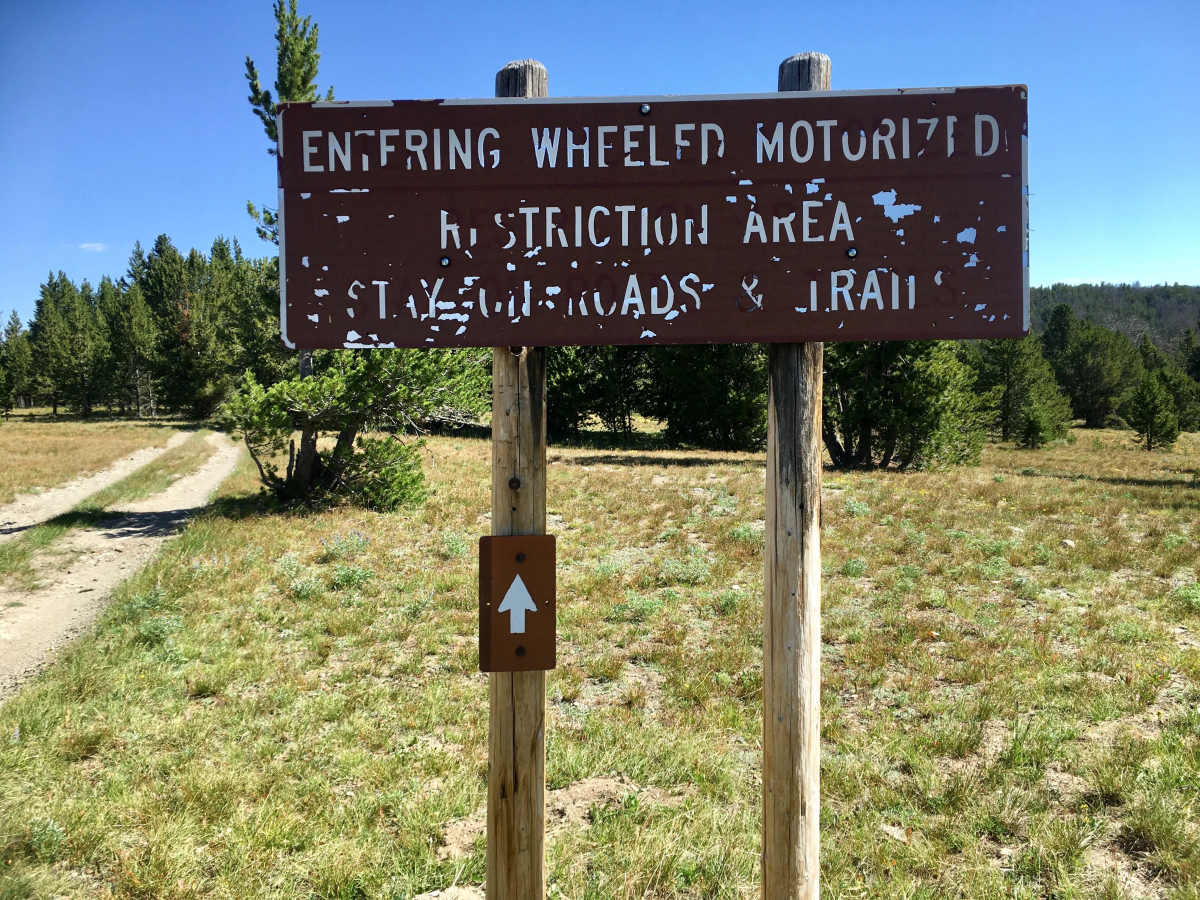
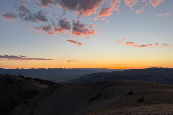
Black Canyon Ridge Road

Total Miles 11.5
Technical Rating
3 Easy
Best Time Spring, Summer, Fall
Trail Type High-Clearance 4x4 Trail
Accessible By
Open Trail Map

Trail Overview

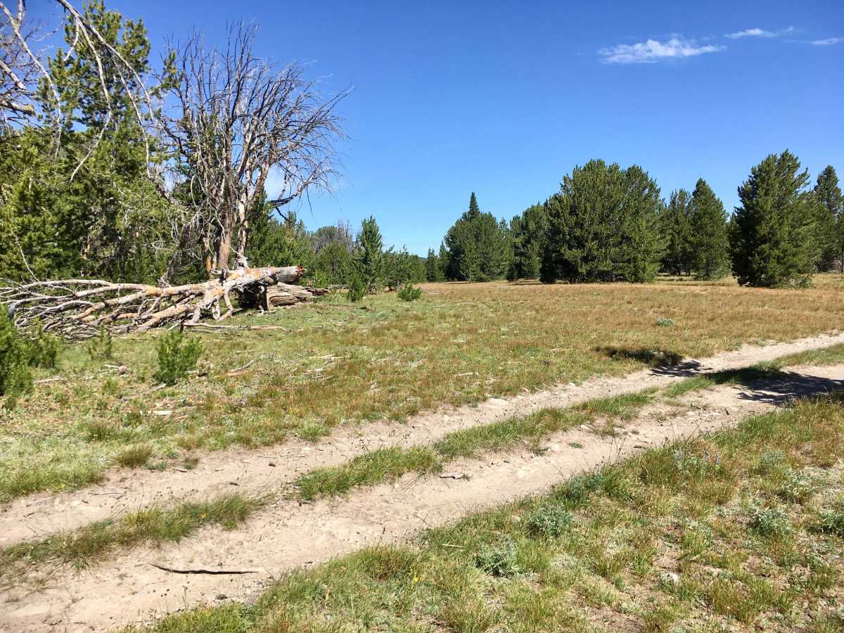
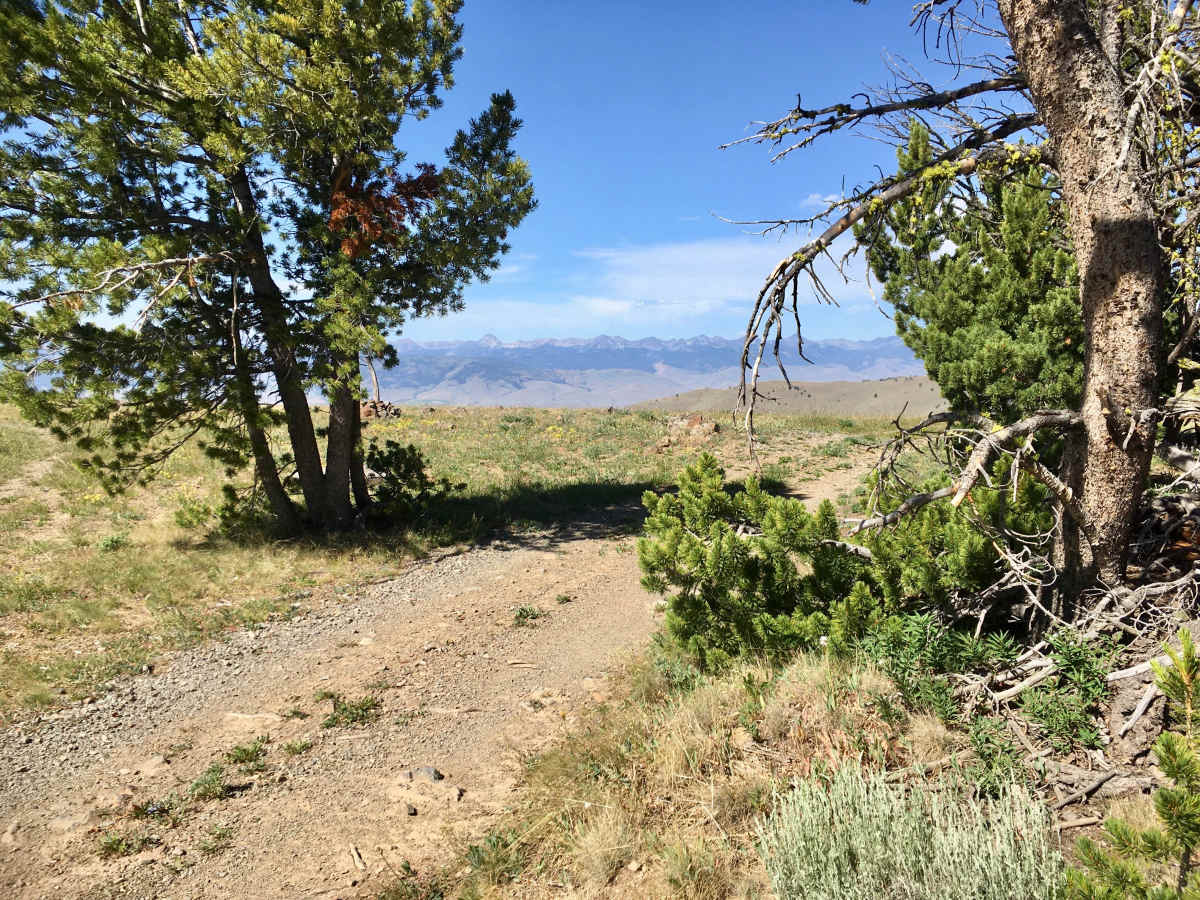
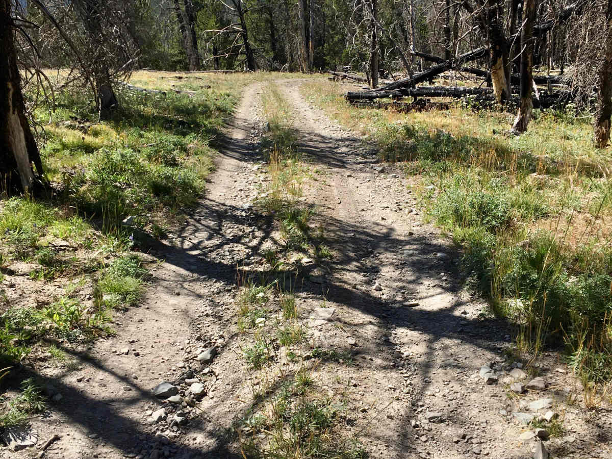
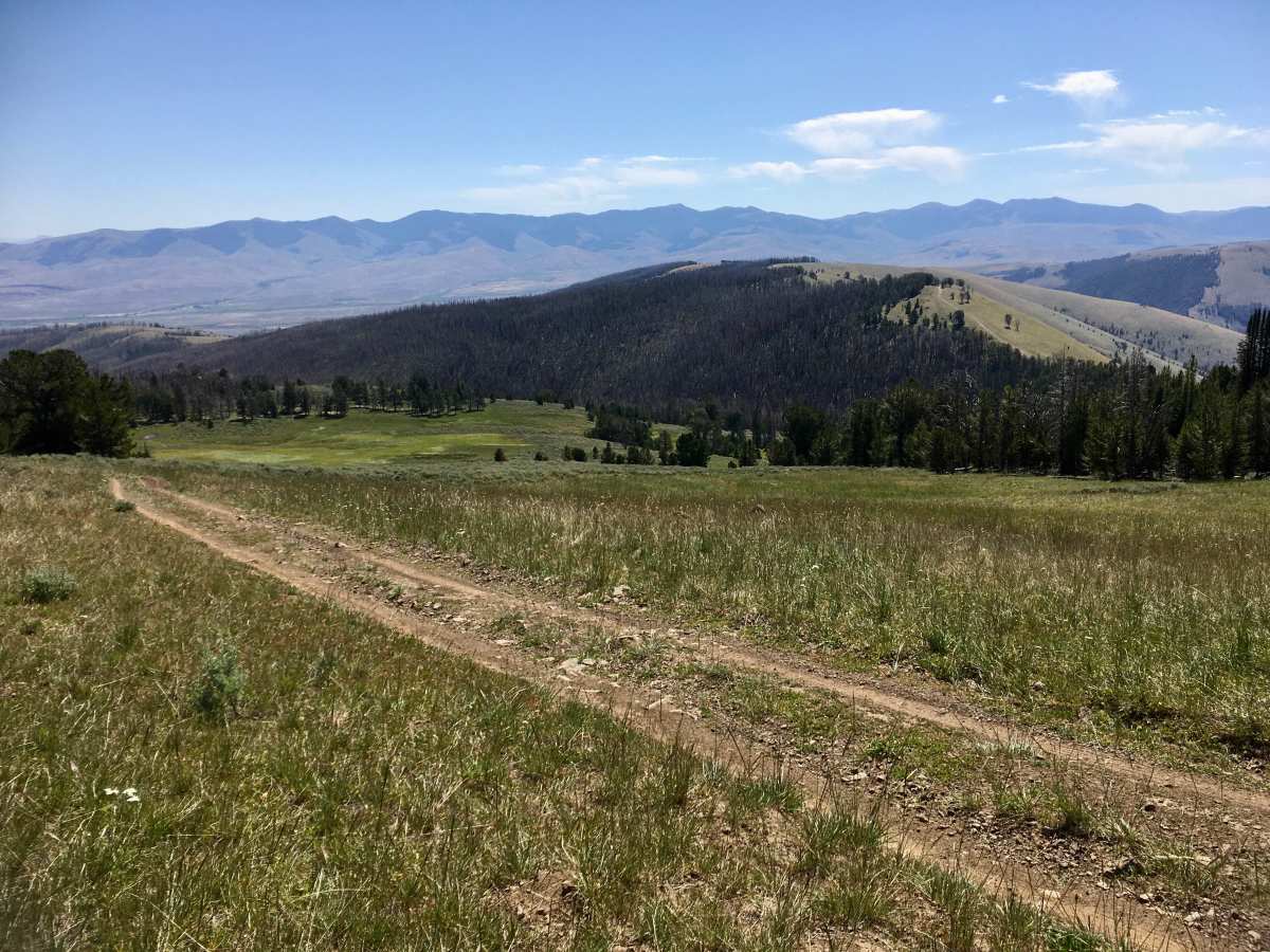
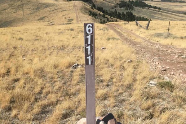
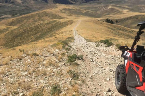
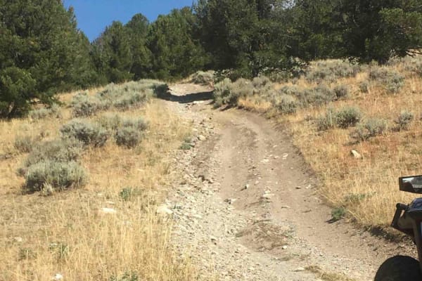
This 12-mile adventure is suitable for high-clearance 4x4 vehicles. Most typically, people access this road from the Continental Divide (CD), where it serves as an extension of the Frying Pan road that dead ends on the CD at an elevation of 9,300 feet. Starting from the CD, the road traverses through some beautiful stands of white bark pine alternating with open mountain meadows and ridges. The road passes through several burned areas. This is a very beautiful segment of the single-lane dirt and rock road with few obstacles to negotiate. After about 6.5 miles, the road intersects with the BLM Everson Creek Rd. Most of the traffic turns onto the Everson Creek Roadwhich eventually leads to the Lemi Pass Road. However, BLM and Forest Service markers continue to encourage travel on the Black Canyon Ridge Rd that transitions through open sagebrush terrain and becomes more difficult with rutting, water crossings, and a series of gates. A persistent adventurer can, eventually, find a passage to the Bannock Pass Road. This road is signed as FS 5932 on the ground.

Photos of Black Canyon Ridge Road

Difficulty

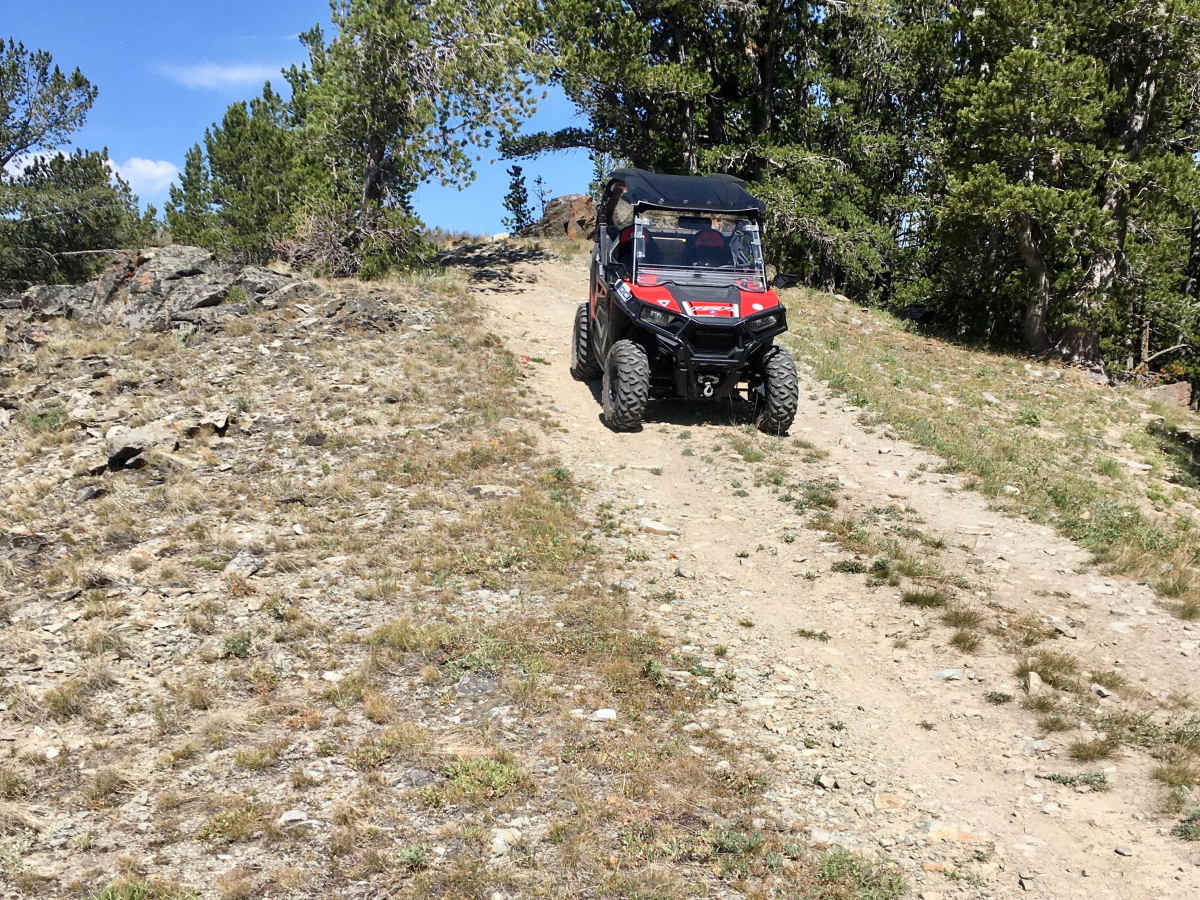
The first 6.5 miles of this road contain a few moderately steep ascents and descents that are rocky and are best used in 4WD. Some rutting is also present but easily straddled. The second lower 6 miles is narrower and more rutted, with several water crossings. It may be necessary to travel on trails through flat sagebrushy primitive tracks.

Technical Rating

3

Status Reports

Add Status Report
Mark Larmoyeux
Jun 10, 2026
Open
I entered the trail on the east side via the Everson trail. Made it up approximately half way but was blocked by a snow bank of approximately 50 ft that I could not see a way around. It was clear past the snow bank as far as I could see. I backtracked down to the MT 324 road and was able to follow the trail (according to the OnX map) and exit through the gate which was not locked. This was an amazingly scenic trail so I was sad that I was blocked by the snow.
Todd Frownfelter
Nov 02, 2025
Open
Walk in only from Hwy 324.
Spencer Metzler
Aug 30, 2025
Open
This trail no longer connects across private property to MT-324. You must backtrack several miles and come out on Evanson creek road. Gate is locked at Lat. 44.863936, Lon. -113.307494

Black Canyon Ridge Road Trail can be accessed by the following ride types:

  • Single Track
  • 50 Inch
  • 60 Inch
  • High Clearance

Black Canyon Ridge Road Map

The onX Offroad Difference

onX Offroad combines trail photos, descriptions, difficulty ratings, width restrictions, seasonality, and more in a user-friendly interface. Available on all devices, with offline access and full compatibility with CarPlay and Android Auto. Discover what you're missing today!

Open Trail Map