Trail Overview
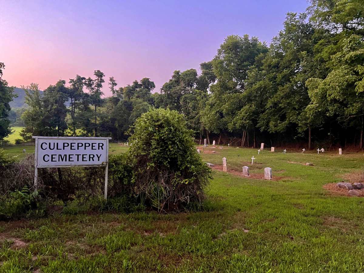
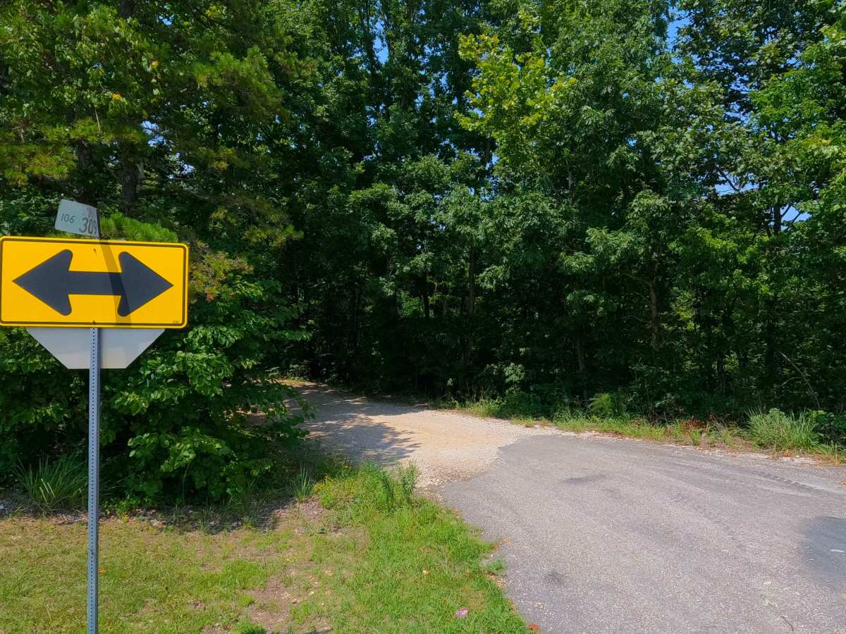
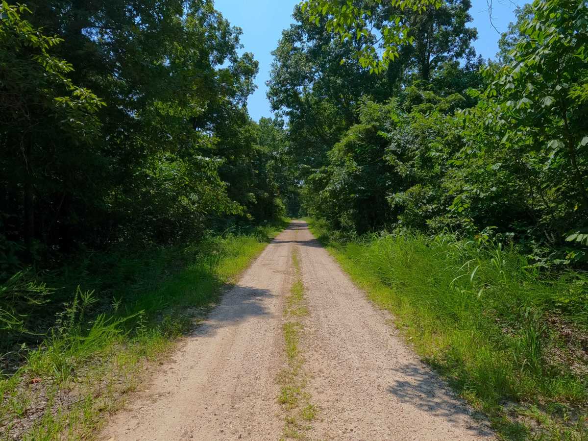
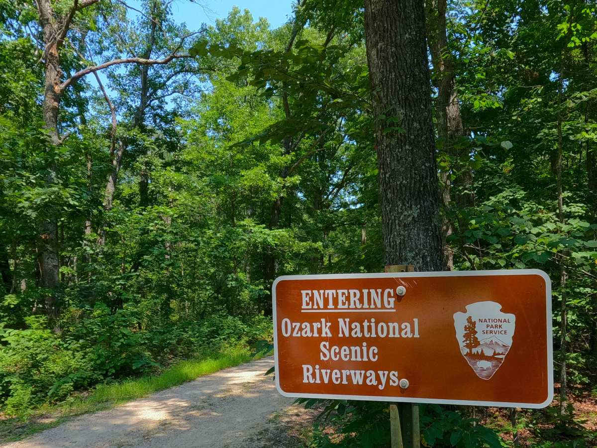
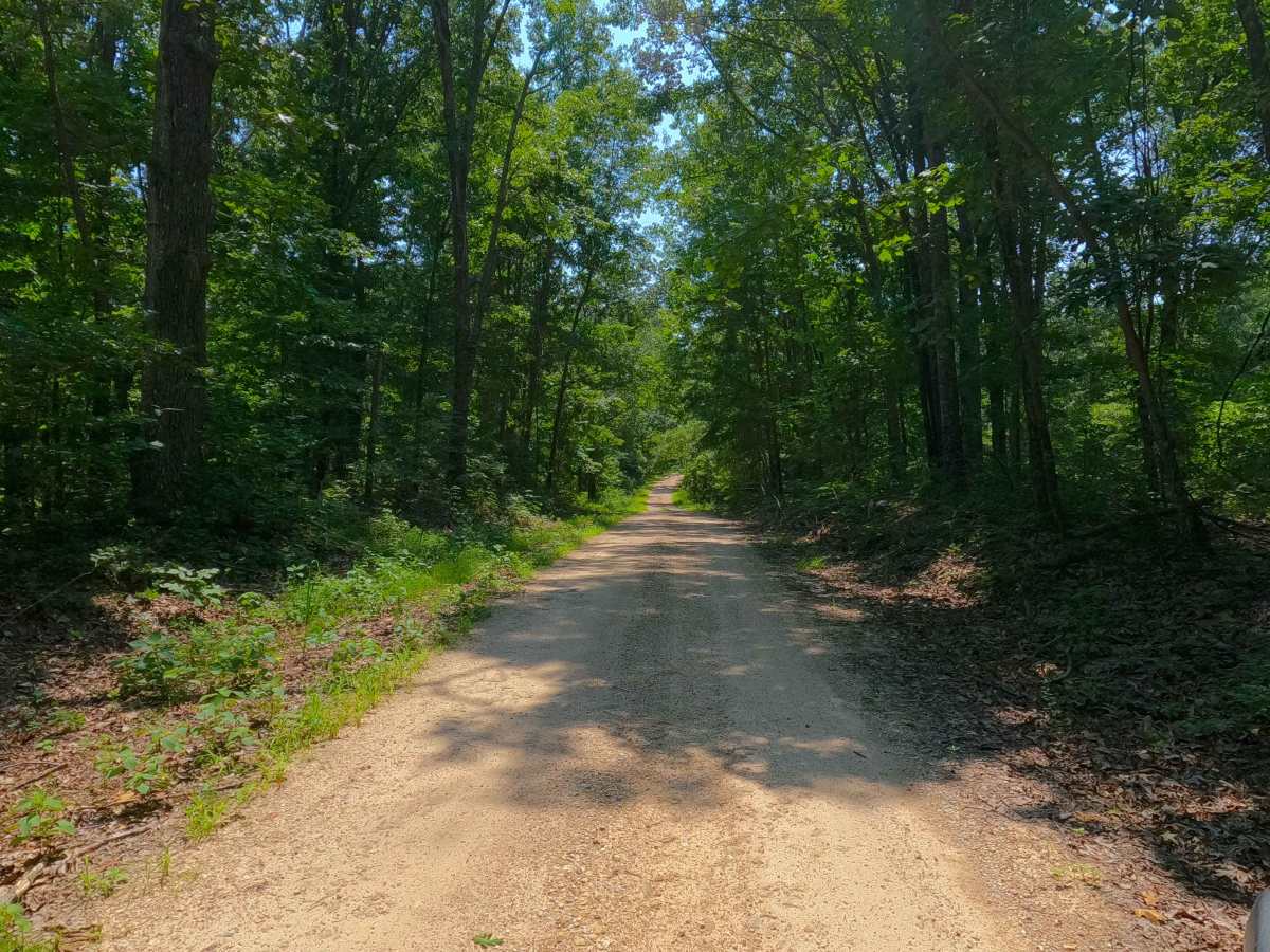
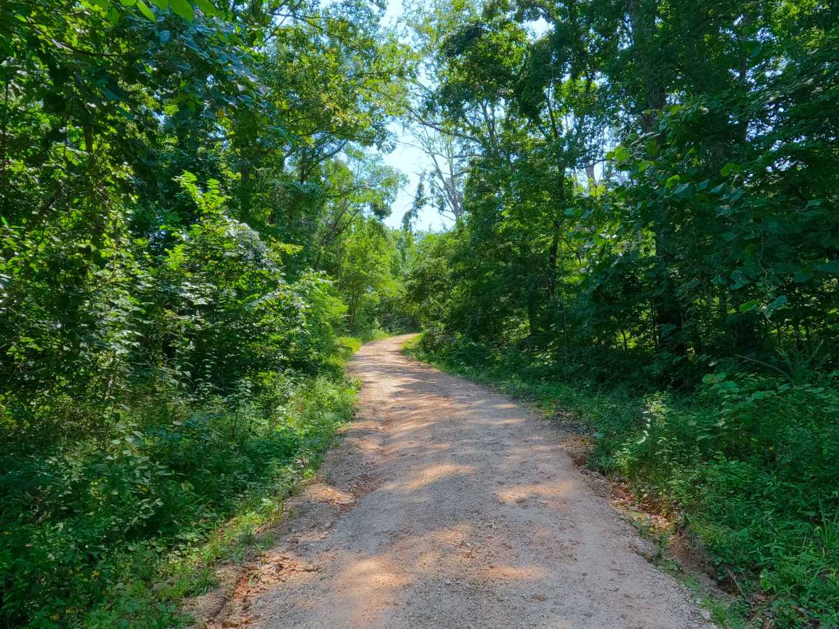
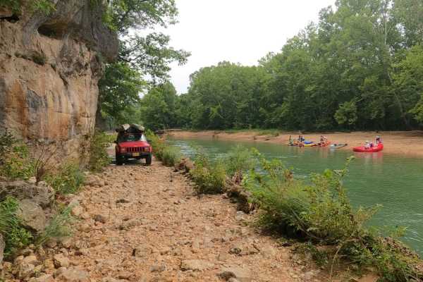
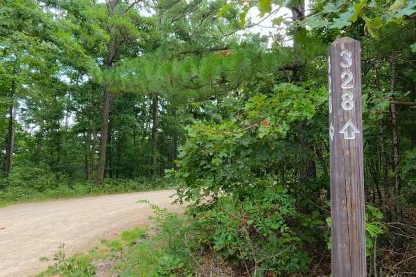
Culpepper Cemetery Road, or Shannon County Road 309, is a gravel and dirt road within the Ozark National Scenic Riverways and Shannon County land along the Jacks Fork River. The Culpepper Cemetery Road forms a loop with (to the north of) Missouri Route 106, which runs east and west. This starts on the ridgelines from either end, dropping gradually downhill into the lowlands along the Jacks Fork River, featuring a gravel-based terrain, with a couple of water runoff crossings (usually dry), mild erosion and rutting on the hills, and natural rocks poking out at the surface along the track. In the lowland section, to the north of the road, there are several open grass grazing fields for the local herds of wild horses (do not drive in these fields); in this same section, between two of these fields, is the Culpepper Cemetery, which was established in 1877. At the midway point of 1.8 miles, there is a spur off the main road that goes .2 miles northwest right up to the edge of the Jacks Forks River; please don't park or drive in the river. The 309 is a great road to take a quick drive through to get away, check out the stars at night, or potentially to see a wild horse grazing along, and is only a short drive away if staying nearby in, or around Eminence or Alley Spring.
Difficulty
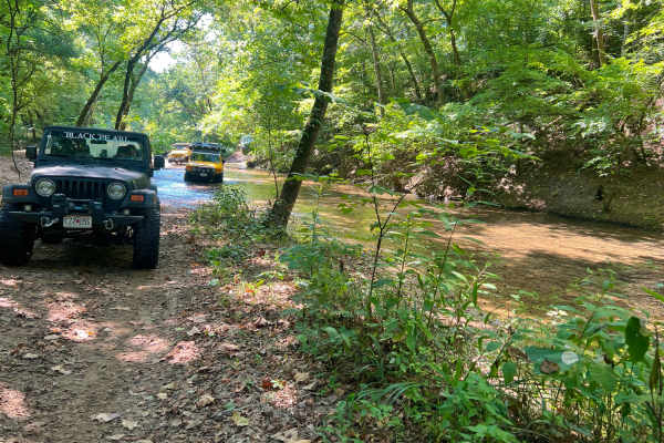
Culpepper Cemetery Road is given a 1/10 base rating, only having coarse gravel, natural rock poking out at the surface, mild rutting at the surface on the hills, and gravel-road complications such as washboarding, potholes, and mounding of the gravel. Only in wet conditions would this road see any difficulty increase, with the low water bridge or other runoff points having splash-level water depths; in extreme flooding conditions of the Jacks Fork River with water outside of its banks, it is possible that the road would become closed due to flooding. To avoid this, check the forecast and the Eminence Water Gauge for reference to the current water levels; normal is 2 to 3 feet. If it is 5+ feet higher than this, approach the SCR 309 with caution due to potential floodwaters or any incoming storms that may raise the water level rapidly or higher. The Jacks Fork River at Eminence water gauge can be found here: https://water.noaa.gov/gauges/emcm7
History
Culpepper Cemetery is the final resting place of over 140 lives spanning over nearly 150 years, including that of the Alley family. The first burial happened in 1877, with the most recent occurring in 1985. Please respect those who came before us; leave the cemetery as good as or better than it was found.


 Offroad