Scenic Riverways

Total Miles11.1
Technical Rating
2Easy
Best TimeSpring, Summer, Fall, Winter
Trail TypeFull-Width Road
Accessible By
Open Trail Map

Trail Overview

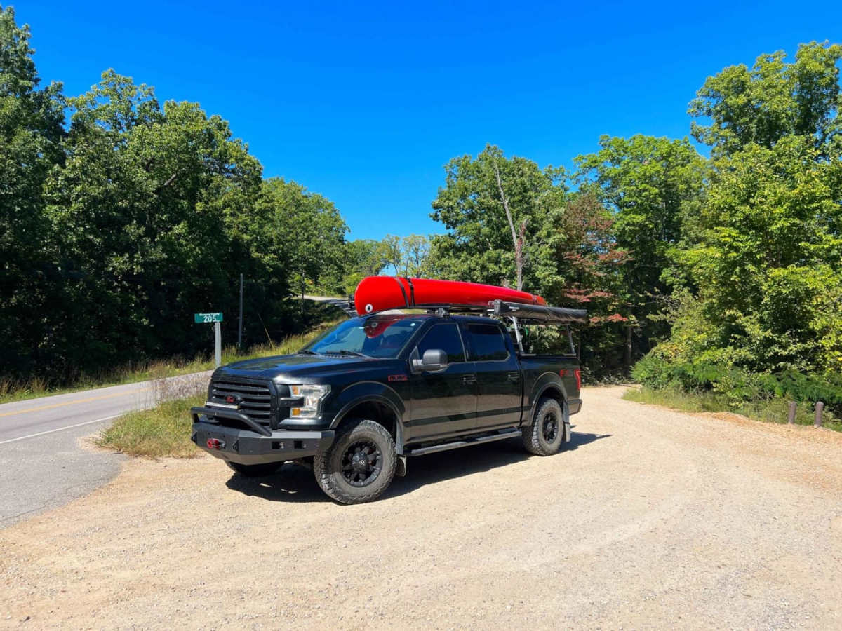
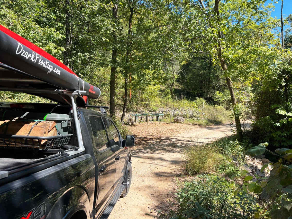
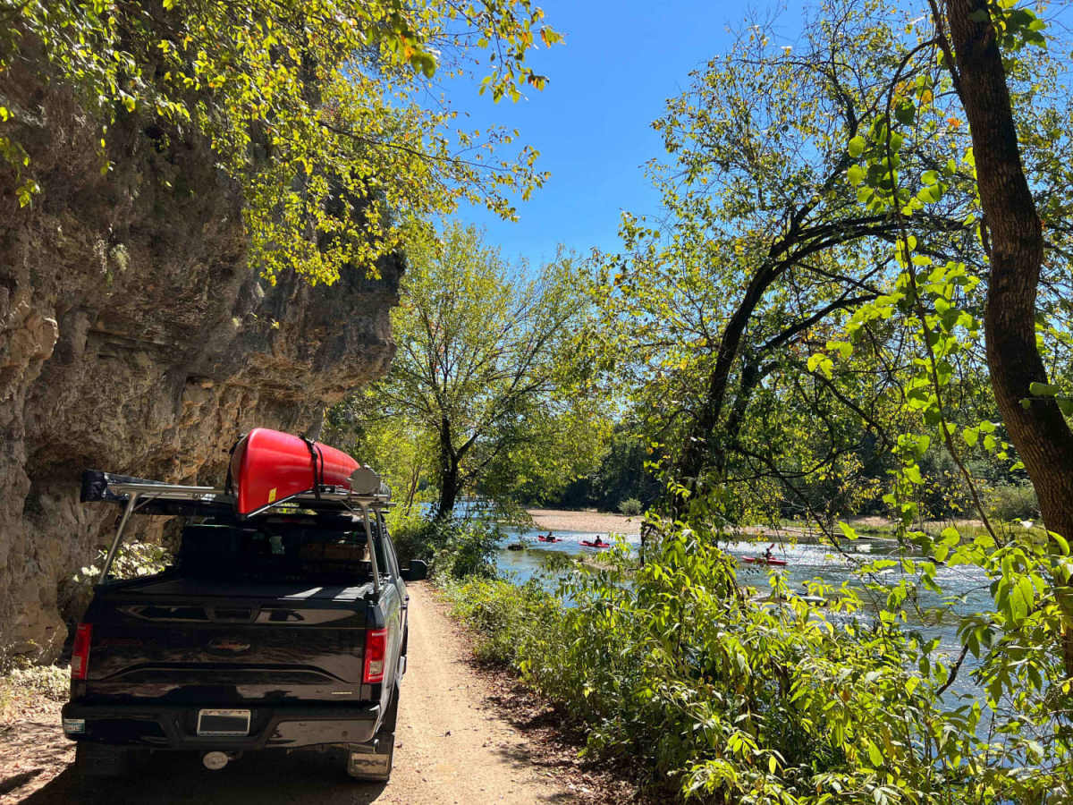
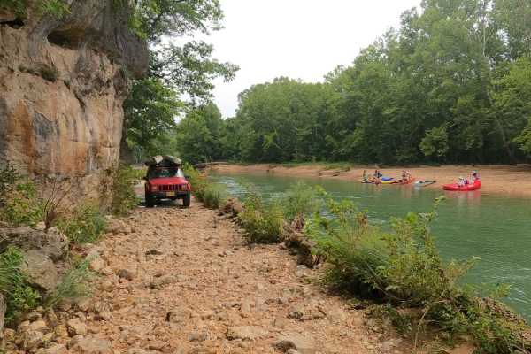
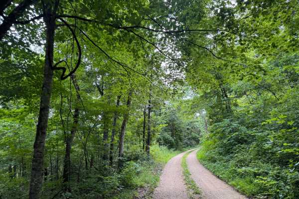
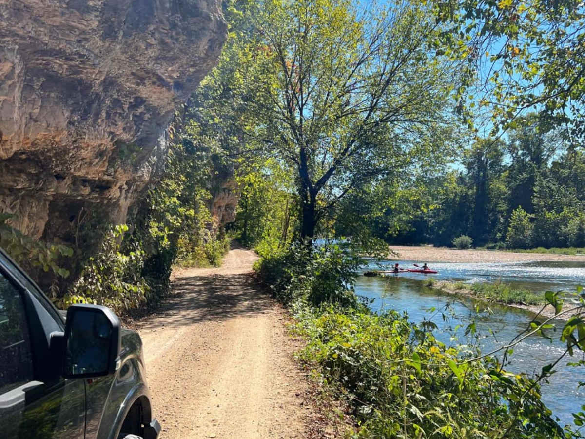
Scenic Riverways is an 11.1-mile point-to-point route through the Ozark National Scenic Riverways, perfect for high-clearance four-wheel-drive vehicles and SxSs seeking stunning river views and excellent dispersed camping. Beginning just north of Eminence, Missouri, the trail winds along the Jacks Fork River, climbing from an elevation of 591 feet to a peak of 1,066 feet with over 1,230 feet of cumulative elevation gain. Travelers will navigate a combination of gravel county roads and narrow forest service roads, offering dramatic vistas of the river from towering, overhanging bluff edges. While the overall technical rating is a mild 2, drivers should remain alert on the single-lane sections where passing oncoming traffic requires utilizing tight pullouts. As the route heads north toward the Current River, it transitions into more rugged terrain with occasional loose, larger rocks and steeper climbs. A four-wheel-drive system is highly recommended for those making the descent down the steep, rocky grade to the Broadfoot campground area. Along the way, numerous dispersed campsites dot the riverside, with several established spots featuring fire rings and lantern posts for a comfortable overnight stay. The route is best visited during spring and fall when the hardwood canopy is vibrant, but it remains a fantastic gateway to water-based activities like kayaking, fishing, and exploring local hollows year-round.

Photos of Scenic Riverways

Difficulty

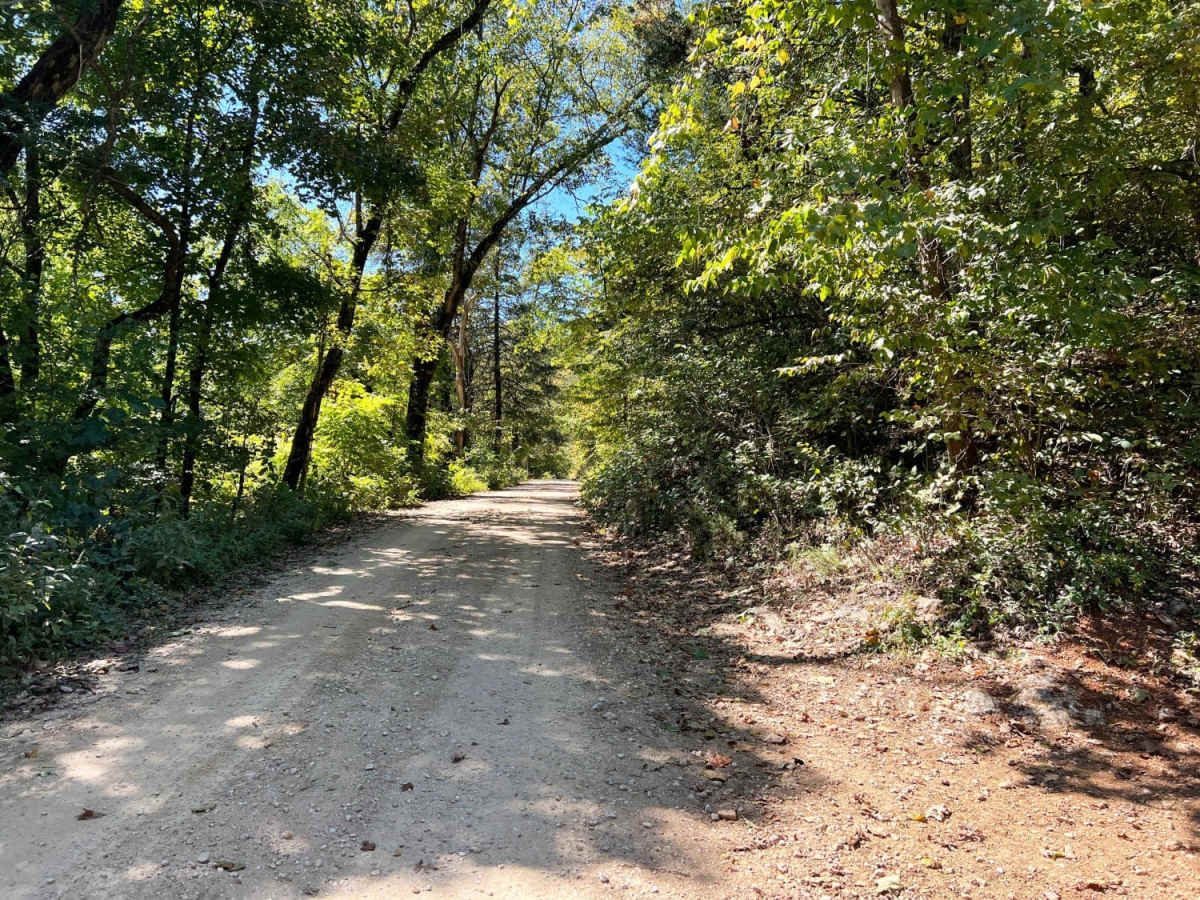
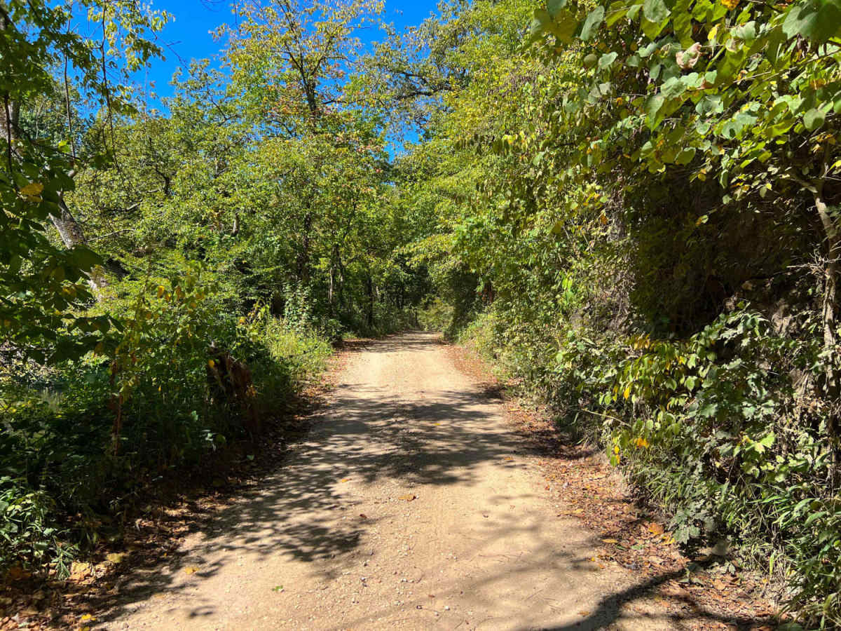
Mostly a narrow gravel road with a few areas to pass. Some areas have large rocks making it a little rough. Steep grade to Broadfoot campground, 4WD recommended.

Technical Rating

2

Status Reports

Add Status Report
Chris Wagstaff
Nov 28, 2025
2023 Toyota Tacoma
Open
Normal
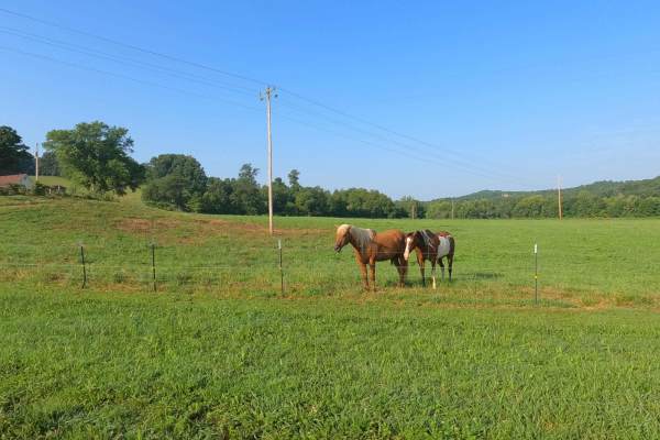
This is a smoother alternative to Akers Alley. I decided to go to the campground at the end of the loop and the wild horses were out in the field. If driving a loop around the campground I would check the conditions of the road before heading into the trees on the upper section.
Connor Smith
Sep 28, 2025
Open
Normal
Chris Wagstaff
Aug 23, 2025
Open
Rough/Deteriorated
This trail is as advertised for the most part. Some sections by the river there are definitely no places to pass. We decided to do the upper little loop in my picture and I definitely wold not call the highlighted area a two. Your in some sand and that section of the road is very deteriorated. First test of the stock tacoma and made it through somehow with out bottoming out somewhere.
Robert Alumbaugh
Jun 29, 2025
2021 Jeep Wrangler
Open
Muddy/WetRough/Deteriorated
After the area keeps getting rain daily, this trail has four water crossings with the deepest being approximately 18”. Since this was my first trail in the Ozark, it was fun and had some beautiful scenery. I have a 2021 2dr Wrangler on 35’s and it handled it like a champ!
Kevin Ray
Oct 26, 2024
Open
Normal
Chris Menz
Jul 13, 2024
1999 Jeep Cherokee
Open
NormalMuddy/WetRough/Deteriorated
Chris Menz
Jul 11, 2024
2019 RAM 2500
Open
NormalMuddy/WetRough/Deteriorated
Road experienced a lot of rain in the remnants of Hurrican Beryl, the Jacks Fork River flooded this past week after the storm. The road is just a little rough around the Bluffs featuring loose large cobbles and small boulders hovering around the 10" range in rock diameter. We only hit the lower bluff section of the route.
Matthew Lowrance
Apr 18, 2024
1997 Dodge B1500
Open
Normal
Trail is very well maintained.
Eric Ellsworth
Jul 28, 2023
Open

Scenic Riverways Trail can be accessed by the following ride types:

  • High Clearance
  • Full Width

Scenic Riverways Map

The onX Offroad Difference

onX Offroad combines trail photos, descriptions, difficulty ratings, width restrictions, seasonality, and more in a user-friendly interface. Available on all devices, with offline access and full compatibility with CarPlay and Android Auto. Discover what you're missing today!

Open Trail Map