Trail Overview
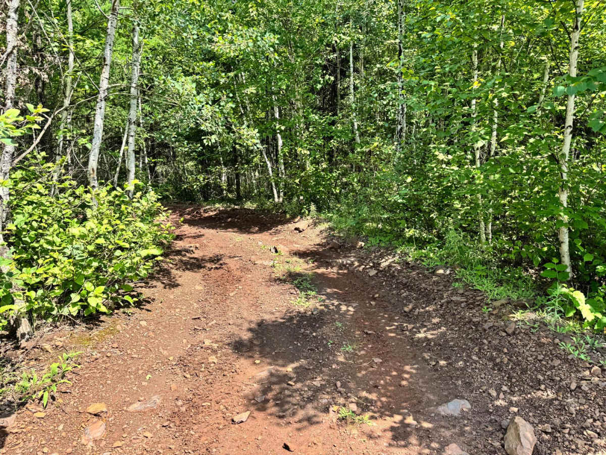
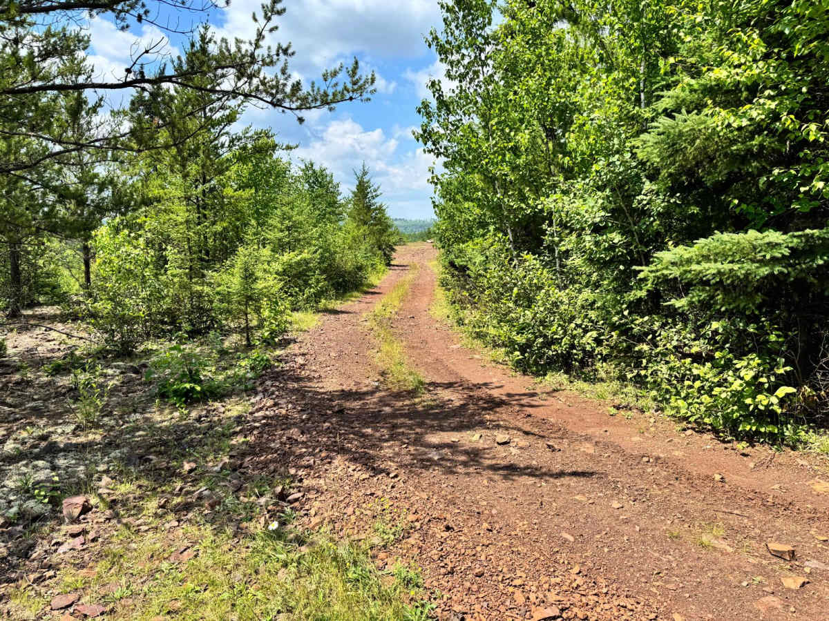
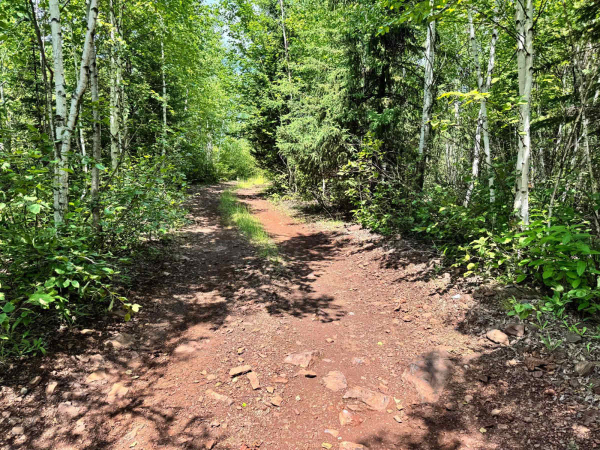
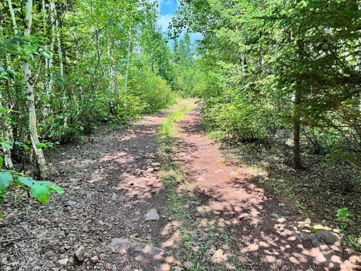
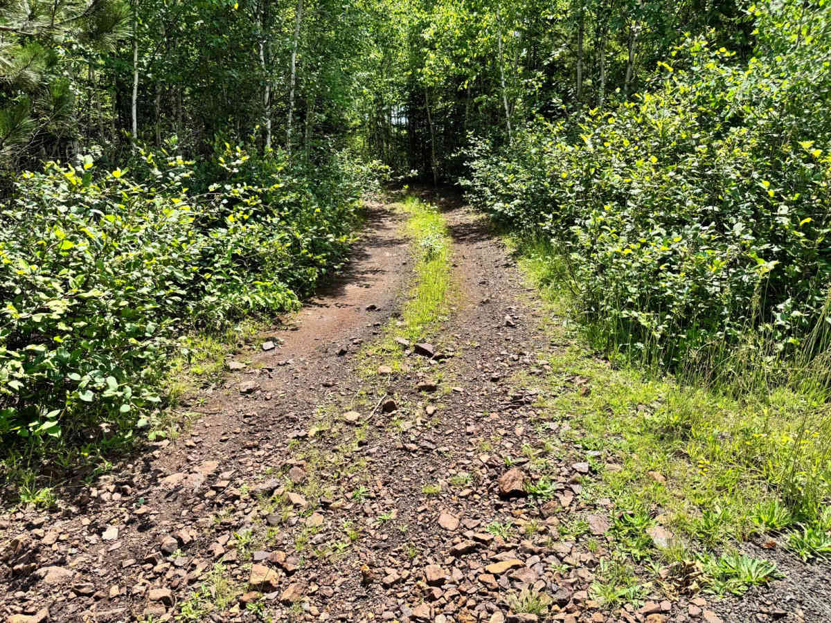
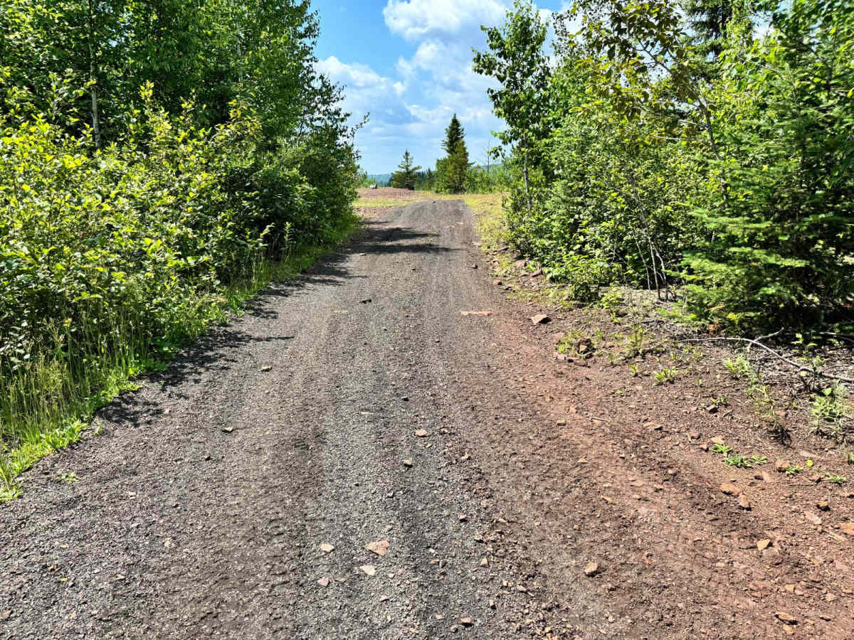
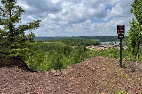
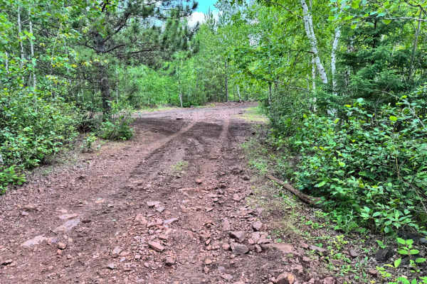
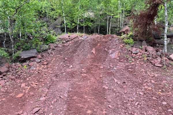
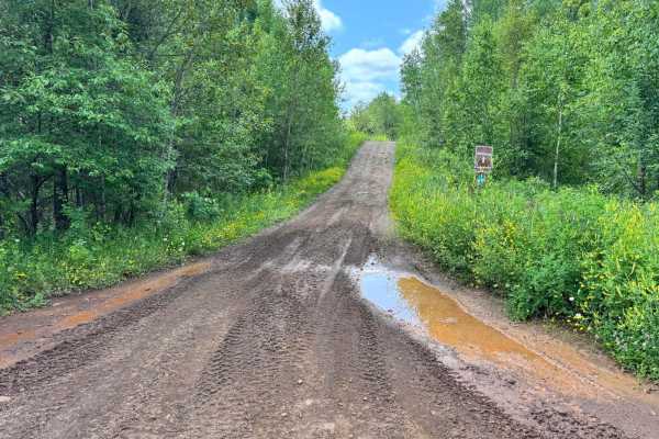
This trail winds through a wooded area and features several tight sections due to overgrowth, which means pinstriping is likely, especially for wider rigs. While it doesn't present any major technical obstacles, drivers should still stay alert as they navigate through narrow passages lined with brush and trees. The trail itself is primarily dirt-based and relatively smooth, making it suitable for most off-road vehicles. As you continue along the route, it leads to a scenic overlook that offers a great spot to stop and take in the view. A picnic table is located at the overlook, making it an ideal rest area. This spot also serves as one of the access points for the Dumb and Dumber trail.
Difficulty
While the trail surface is generally smooth and free of technical obstacles, the narrow overgrown sections can be challenging for wider vehicles. Pinstriping is likely, and careful navigation is required in tight spots. Ideal for most rigs, especially those looking for scenic views.
History
The Iron Range OHV Recreation Area was built on reclaimed mining land, once part of the rich Mesabi Iron Range that fueled U.S. steel production for over a century. Today, this 1,200+ acre site blends industrial history with outdoor adventure, offering a rare chance to ride through the remnants of Minnesota's mining legacy.