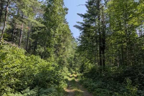
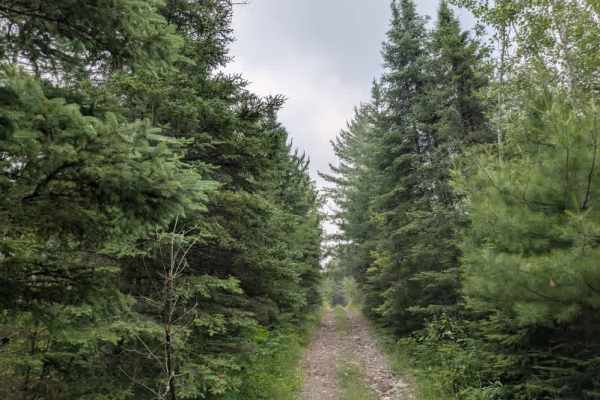
Trail Overview
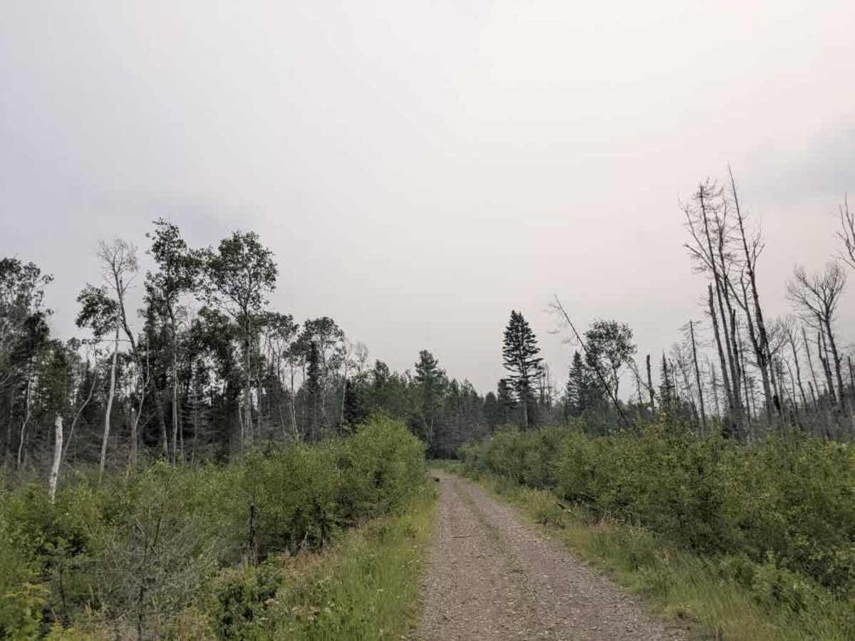
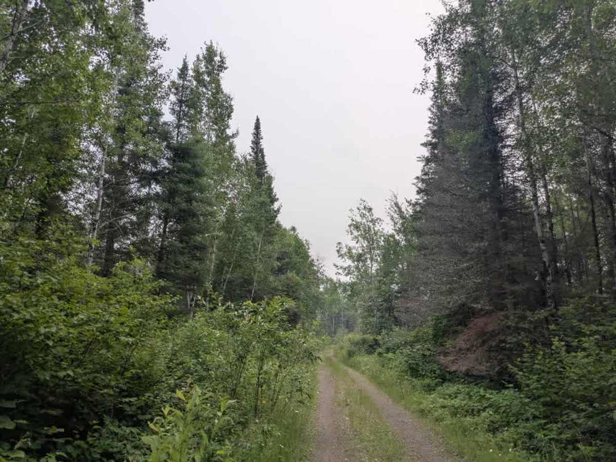
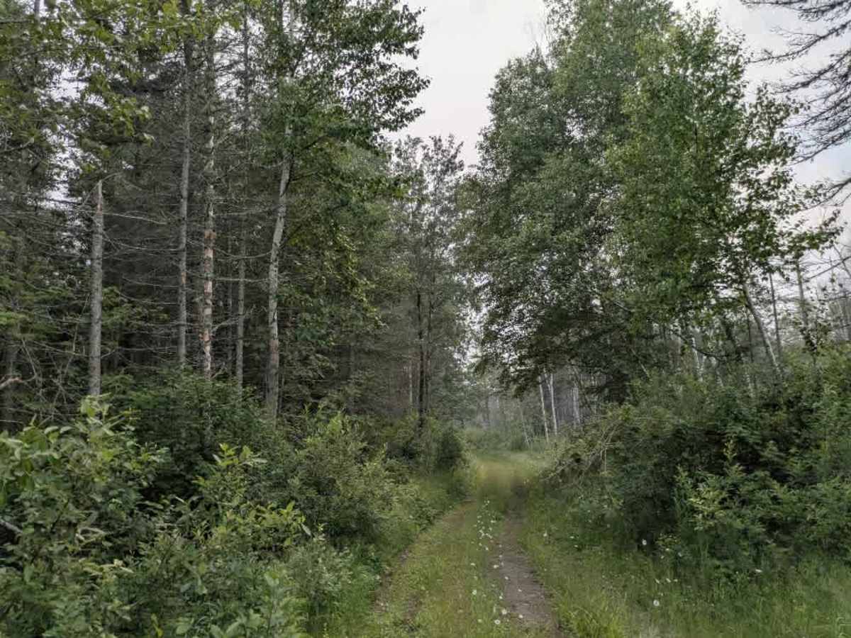
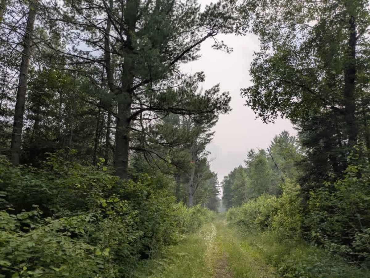
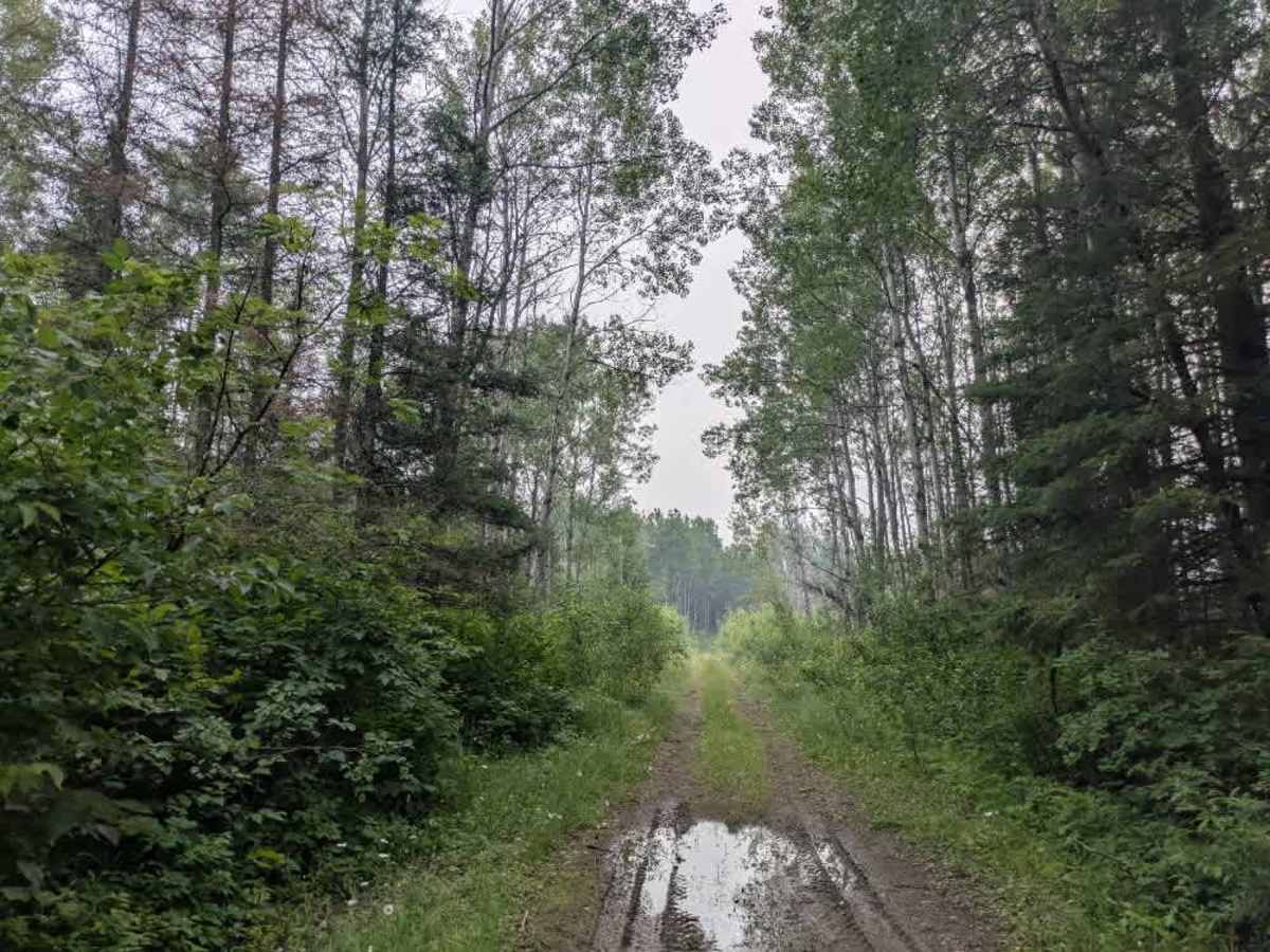
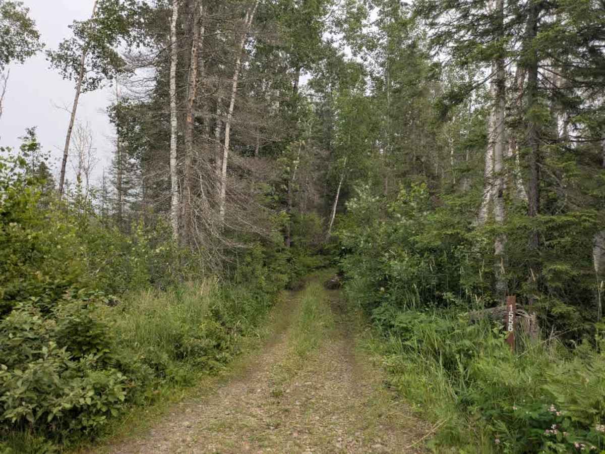
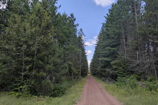
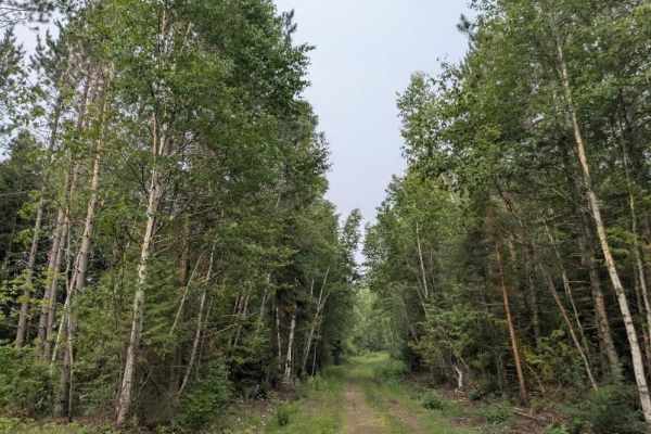
This trail begins at the junction with Stony Lookout Trail and crosses a small bridge before continuing into the forest. Initially, the surface remains smooth, particularly around the water access spur, but the condition quickly changes. As it continues, the trail becomes narrow and overgrown, with increasingly rough terrain consisting of bumps, mud, and embedded rocks. The route winds through dense forest and passes several clearings that appear to be remnants of past logging activity. As the trail progresses, it becomes even more challenging, with long stretches of wet, grassy, and boggy sections. The terrain becomes increasingly remote and challenging to navigate, with large rocks hidden beneath the vegetation. Eventually, the trail leads to a small clearing that offers a spot to turn around. Beyond this point, the trail narrows significantly and is no longer suitable for full-size four-wheel-drive vehicles. The final stretch is best attempted by ATV or side-by-side and is expected to connect with a set of railway tracks. Dispersed camping is typically allowed in the Superior National Forest, provided it is outside the Boundary Waters Canoe Area Wilderness. There are no amenities available along the route—no toilets, trash bins, or water sources—and cell service may be unreliable or unavailable. Campers should follow Leave No Trace principles.
Difficulty
This trail has not been maintained and is rarely used. Expect overgrowth, downed trees, and dense underbrush in areas. Travel is slow with backcountry obstacles.