Trail Overview
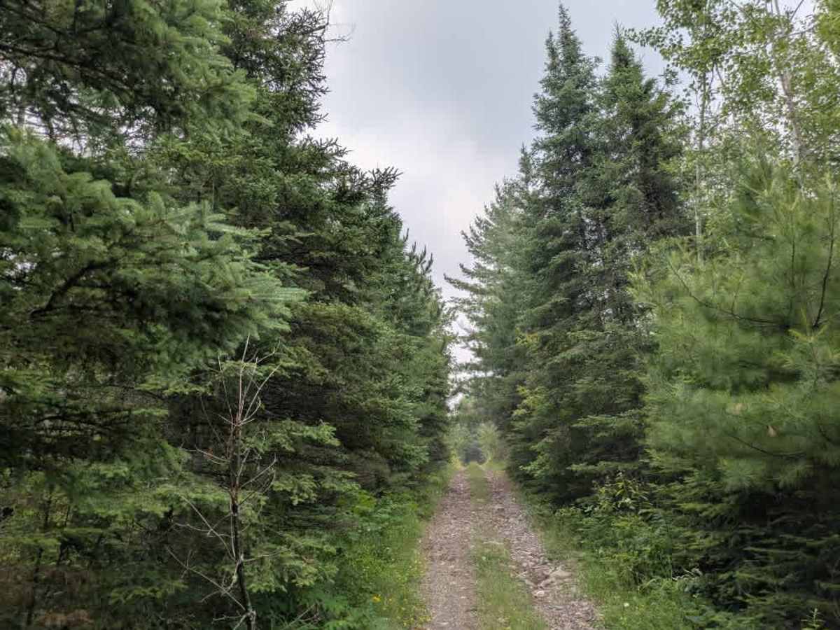
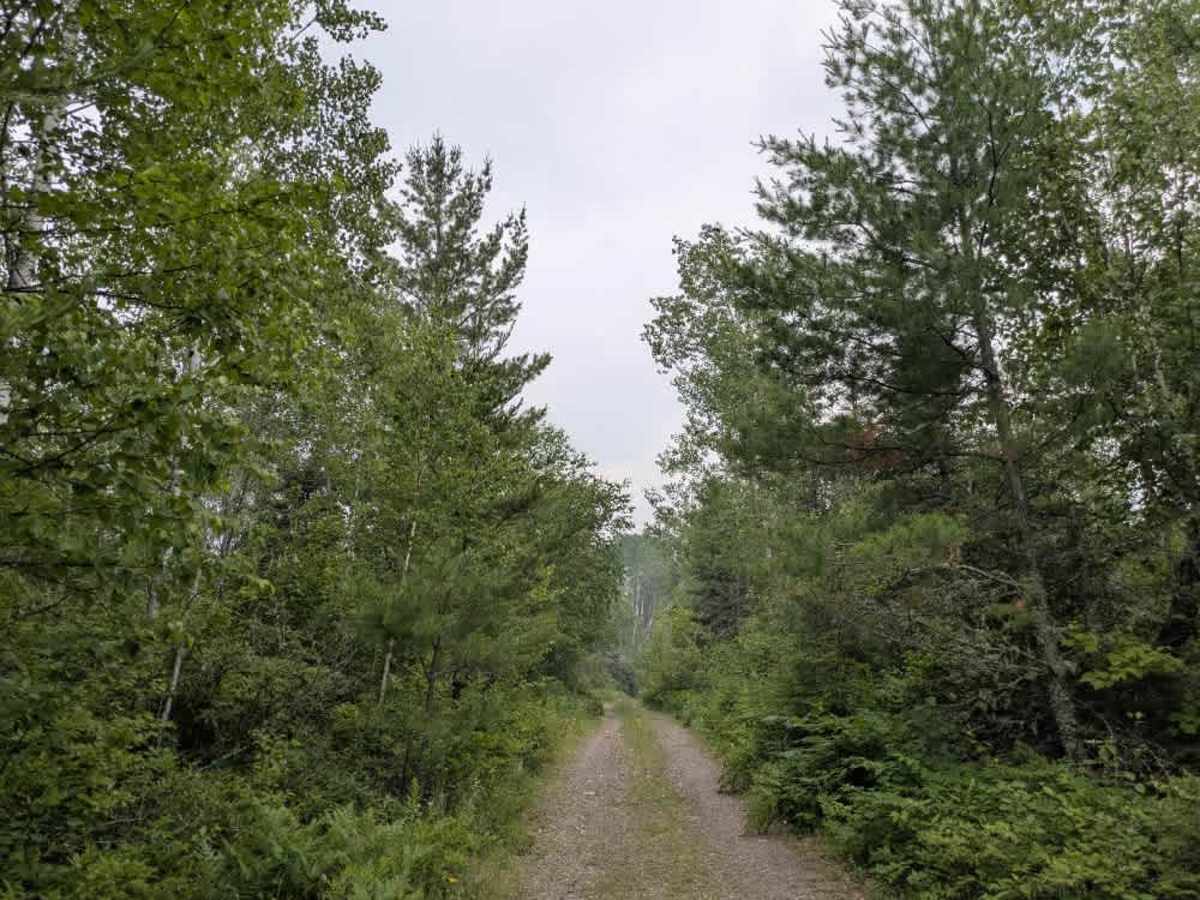
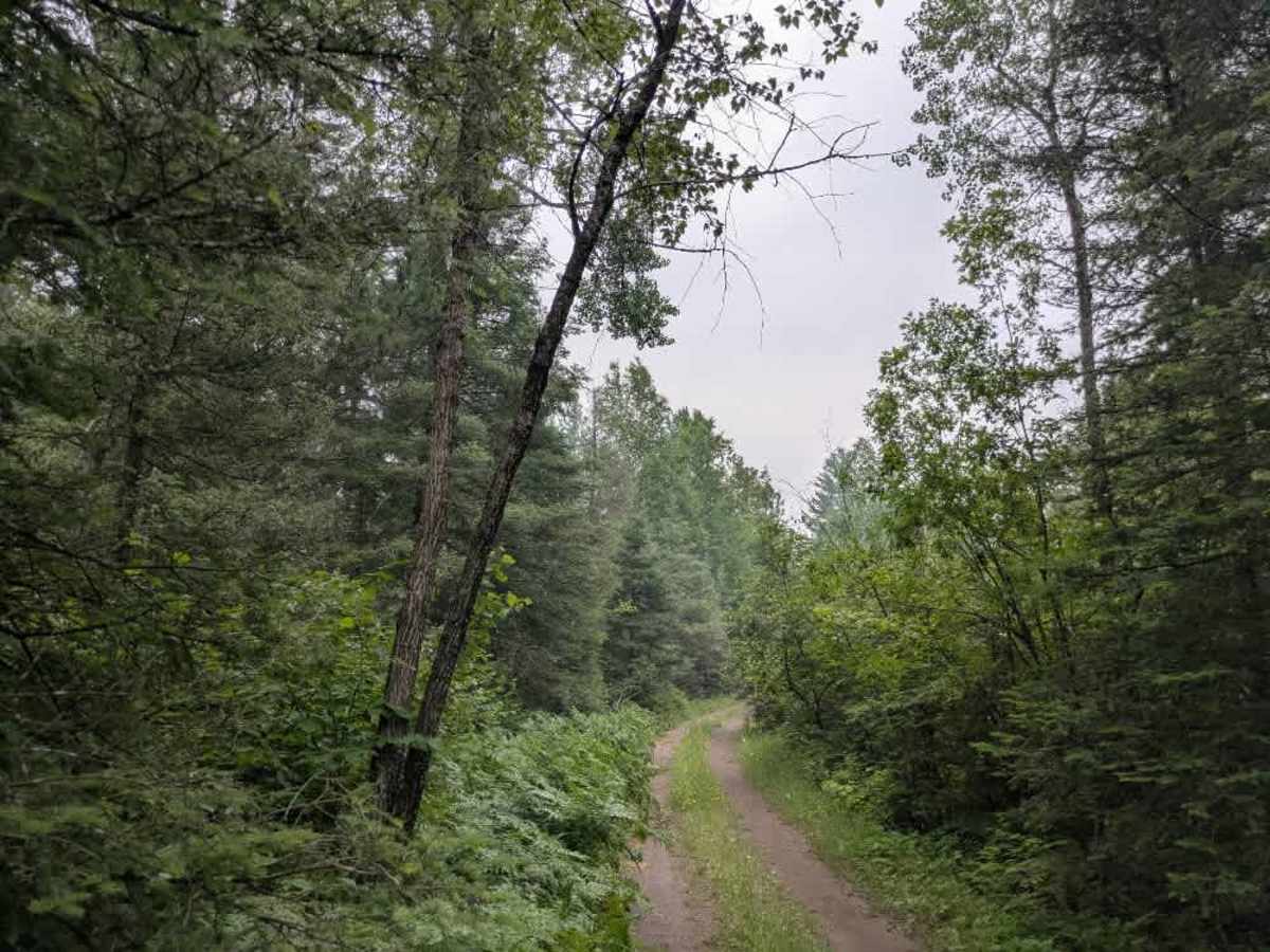
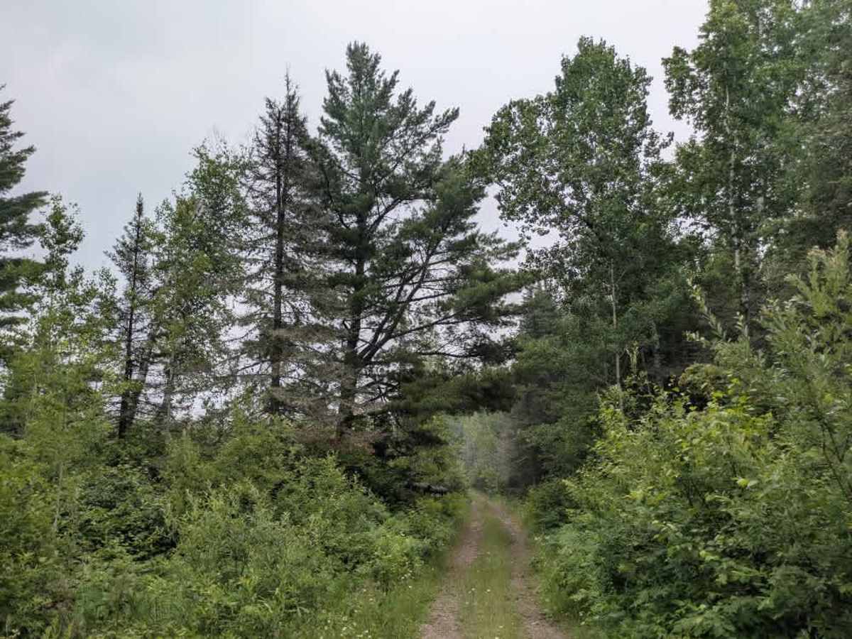
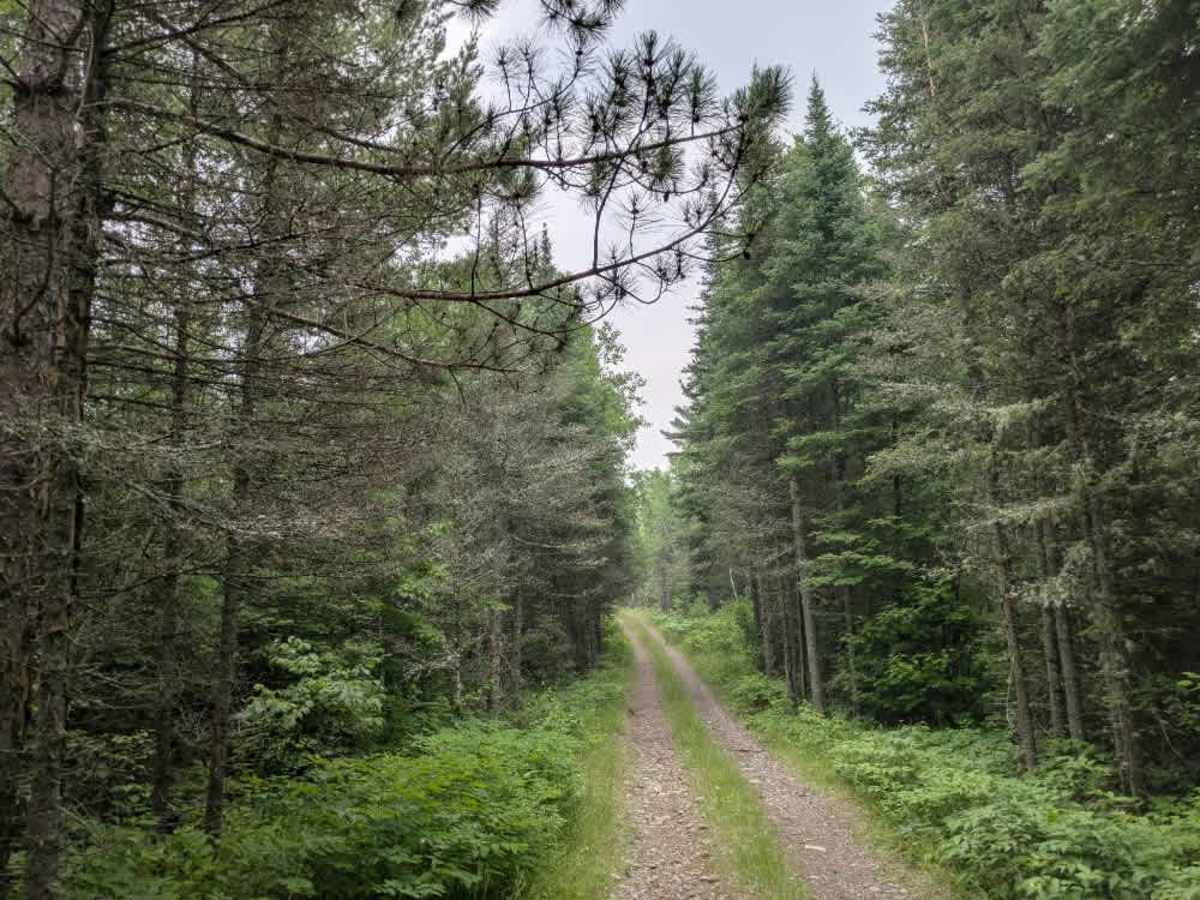
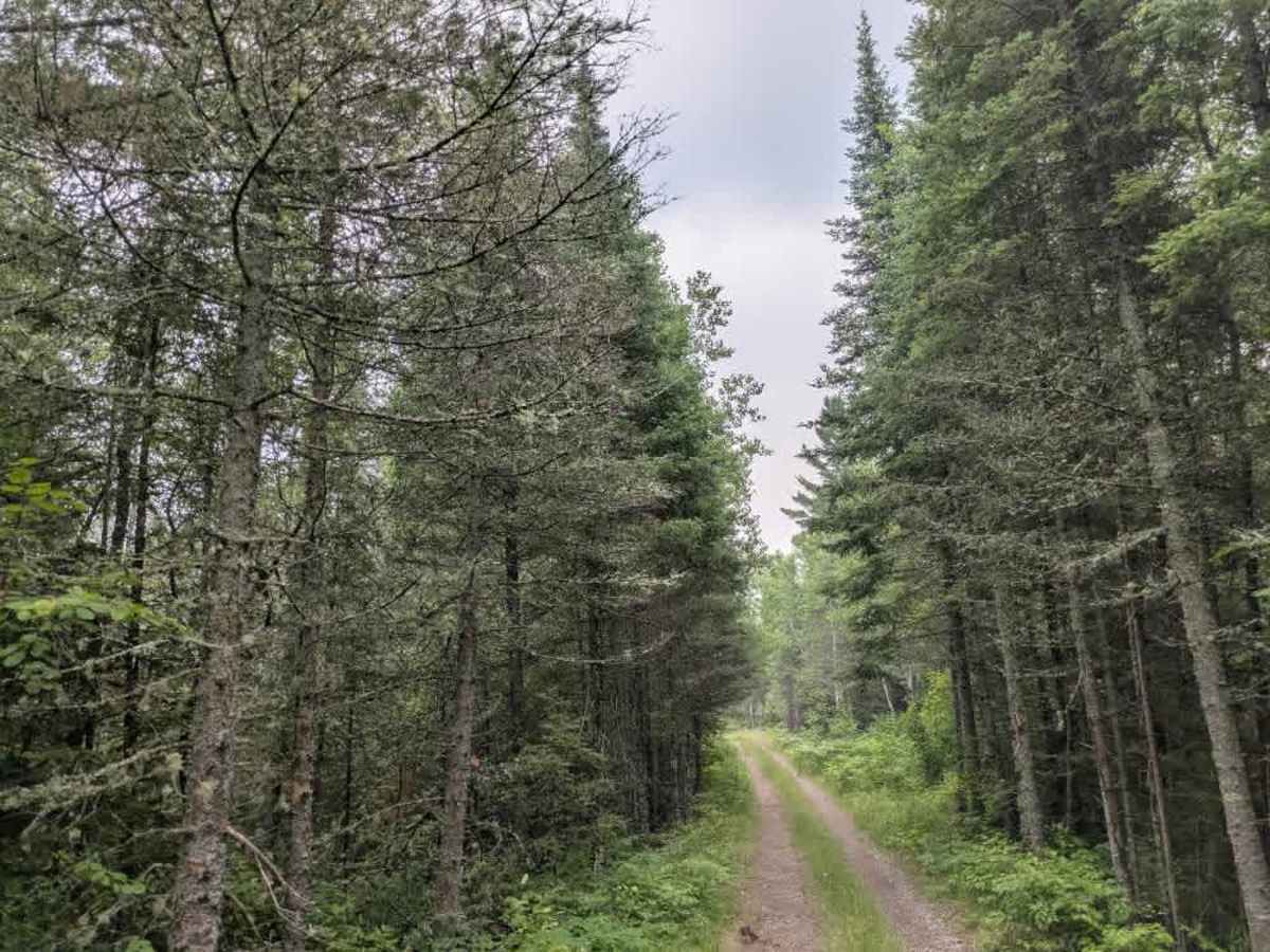
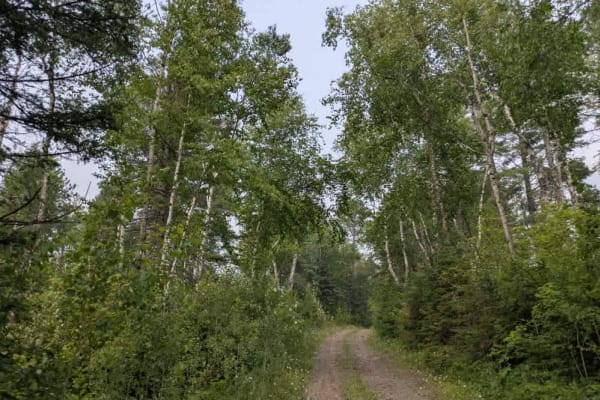
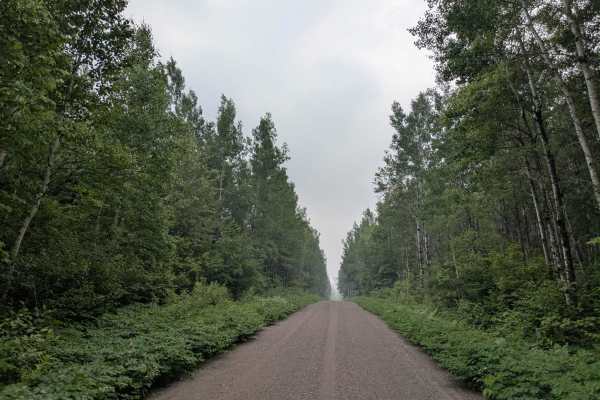
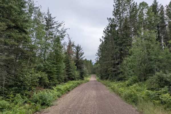
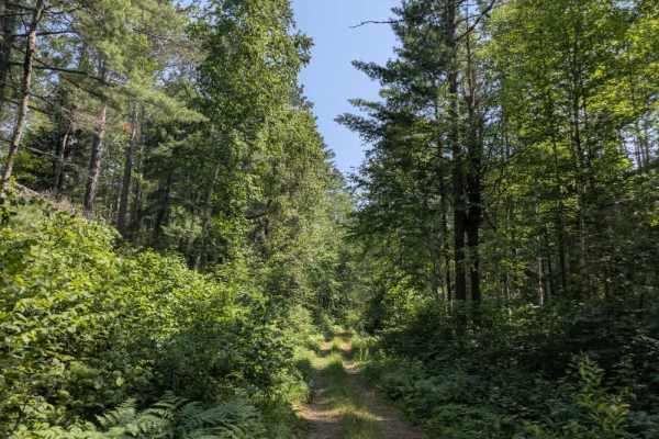
This trail branches off from McDougal Lake Trail and quickly narrows as it enters dense forest. It is immediately overgrown, with a steep, muddy, and rocky ascent that may be challenging for larger vehicles. As the trail climbs, it remains tight and enclosed by vegetation, with several fallen trees partially blocking the route. These may need to be cleared to continue, and there is a high likelihood of pinstriping due to the close brush. A broken tree hangs overhead in one section, posing a potential hazard. The trail continues through a series of ascents and descents, maintaining a surface that is consistently rocky, muddy, and slick. Eventually, it opens into a small clearing that may be suitable for dispersed camping, though the area is undeveloped. From there, the trail includes a rocky, off-camber descent before reaching an ATV route that connects with Stony Lookout Trail. Dispersed camping is generally permitted in the Superior National Forest outside the Boundary Waters Canoe Area Wilderness, but there are no amenities along this trail. There are no toilets, trash bins, or water sources, and cell coverage may be poor or unavailable. Campers should follow Leave No Trace principles.
Difficulty
This forested route is lightly maintained and typically sees use during peak seasons. Expect occasional fallen limbs, narrowing sections from plant growth, and minor obstacles.