Trail Overview
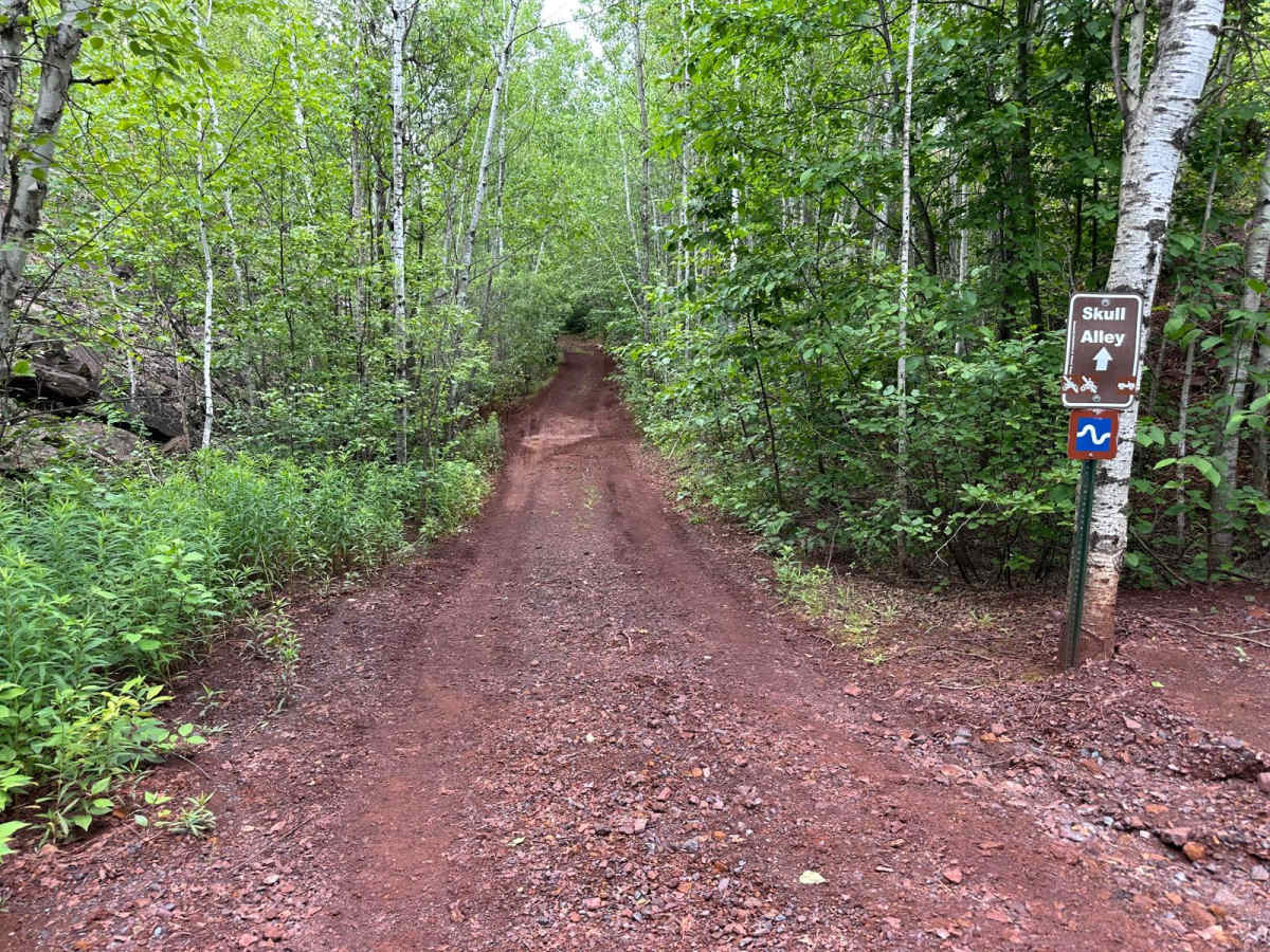
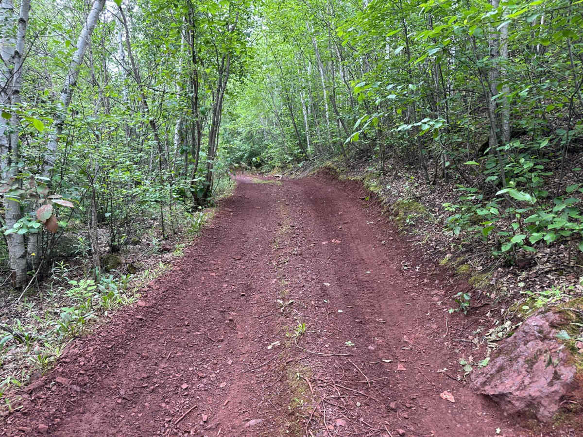
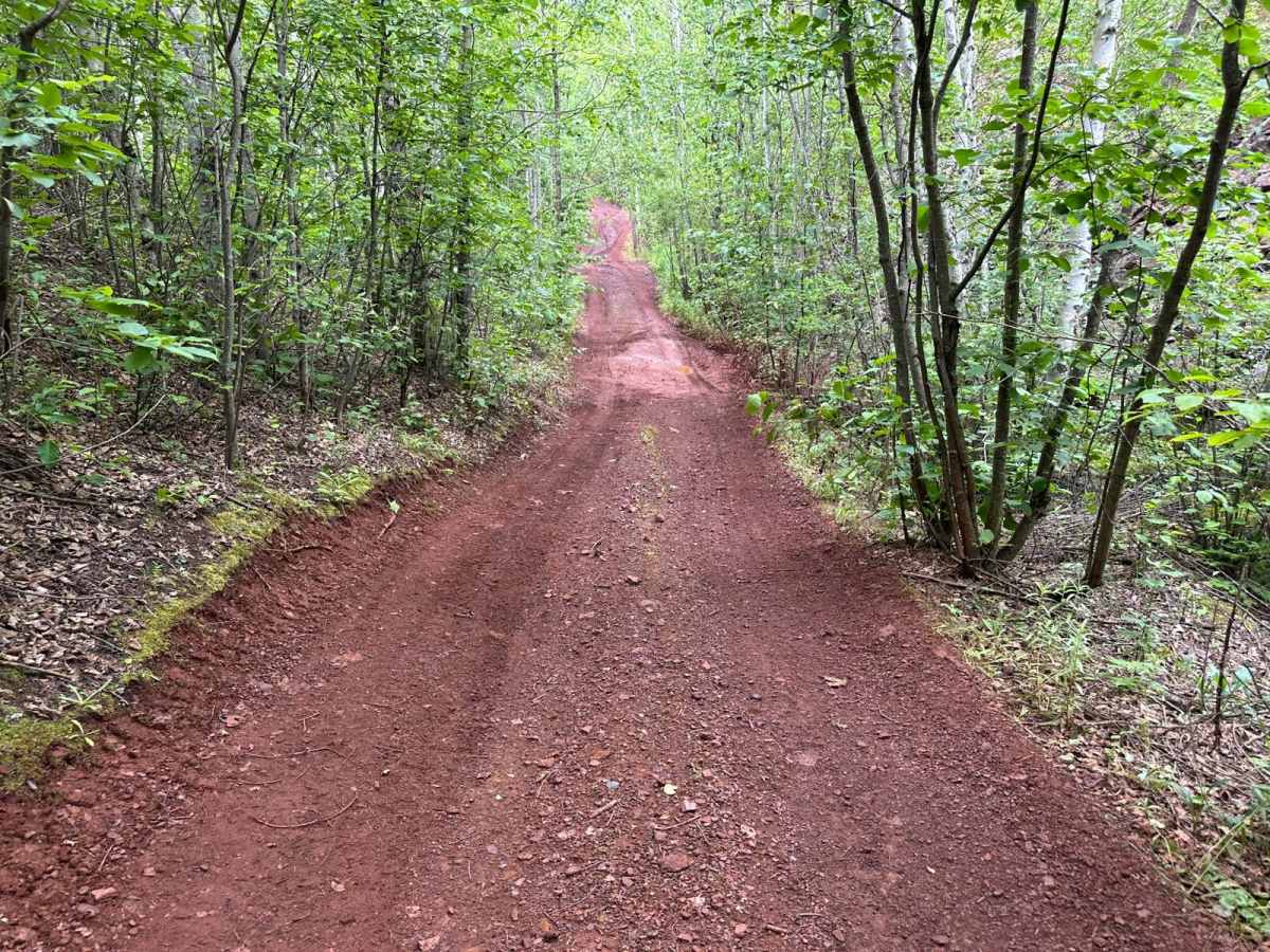
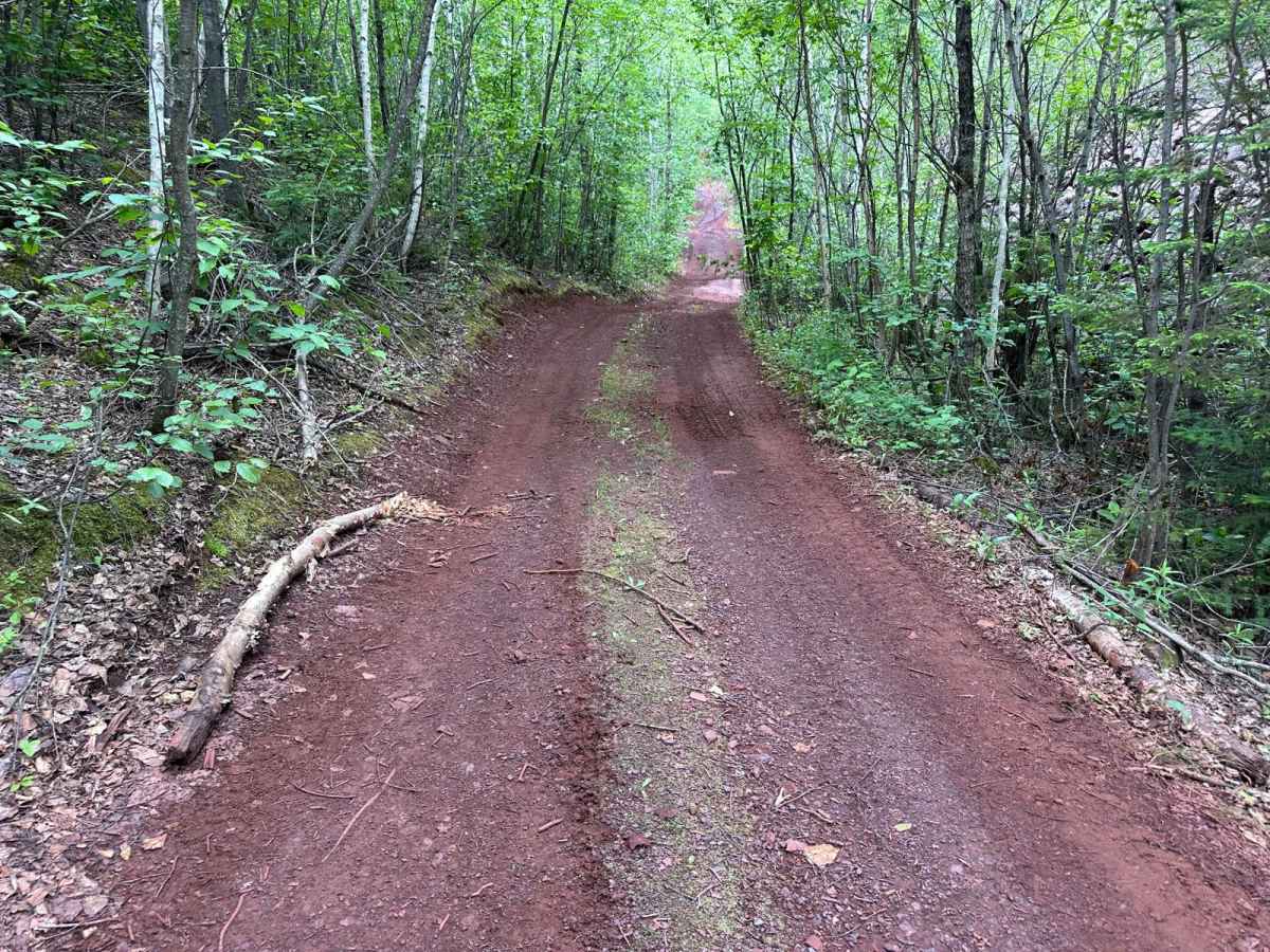
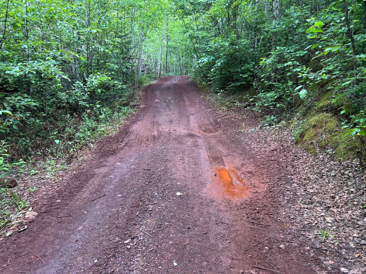
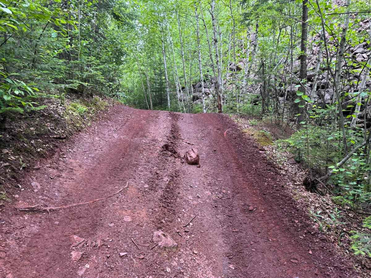
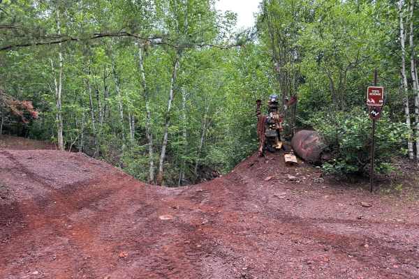
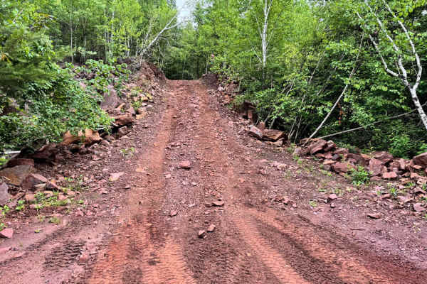
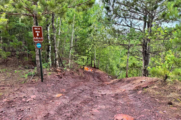
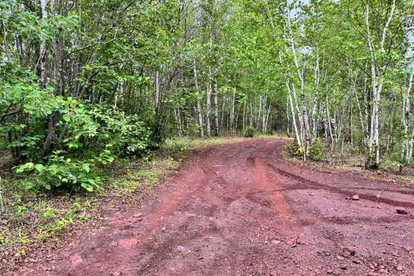
This trail is relatively simple for most of the route, making it a good option for less-experienced drivers or those looking for a more relaxed ride. However, as you get closer to where it connects with Skull Road, the terrain becomes a bit more technical. There are several washout areas with exposed tree roots that must be climbed over, which can put your vehicle off-camber. These spots can get muddy after rain, making traction more challenging. The trail also includes a few tight turns through wooded areas. Be aware that Skull Road is a one-way trail that links to this route.
Difficulty
This mostly mild trail gets trickier near Skull Road, where washed-out sections, tree roots, and mud make traction difficult. Some tight turns add to the challenge. There are no major obstacles, but the off-camber spots and slick conditions require caution.
History
The Iron Range OHV Recreation Area was built on reclaimed mining land, once part of the rich Mesabi Iron Range that fueled U.S. steel production for over a century. Today, this 1,200+ acre site blends industrial history with outdoor adventure, offering a rare chance to ride through the remnants of Minnesota's mining legacy.