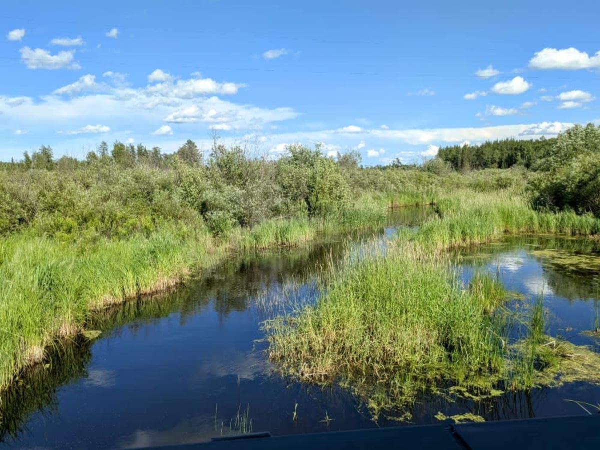
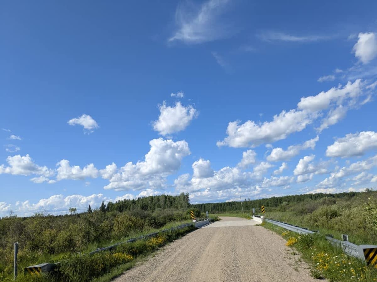
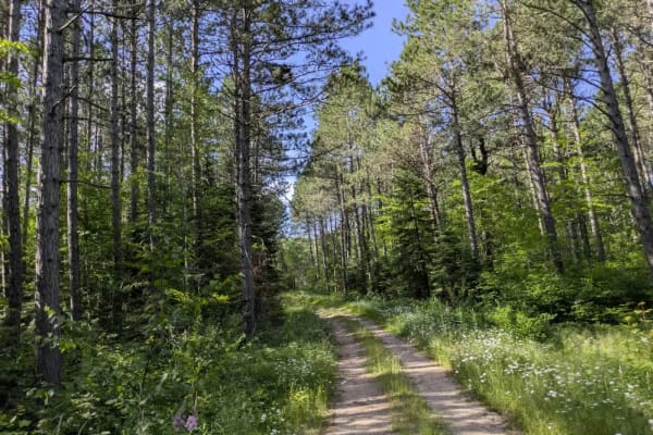
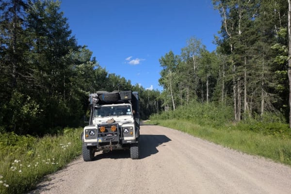
Trail Overview
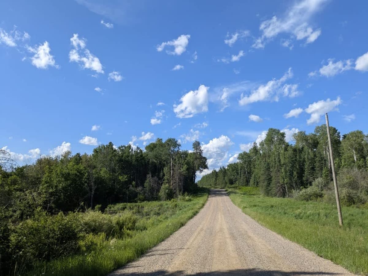
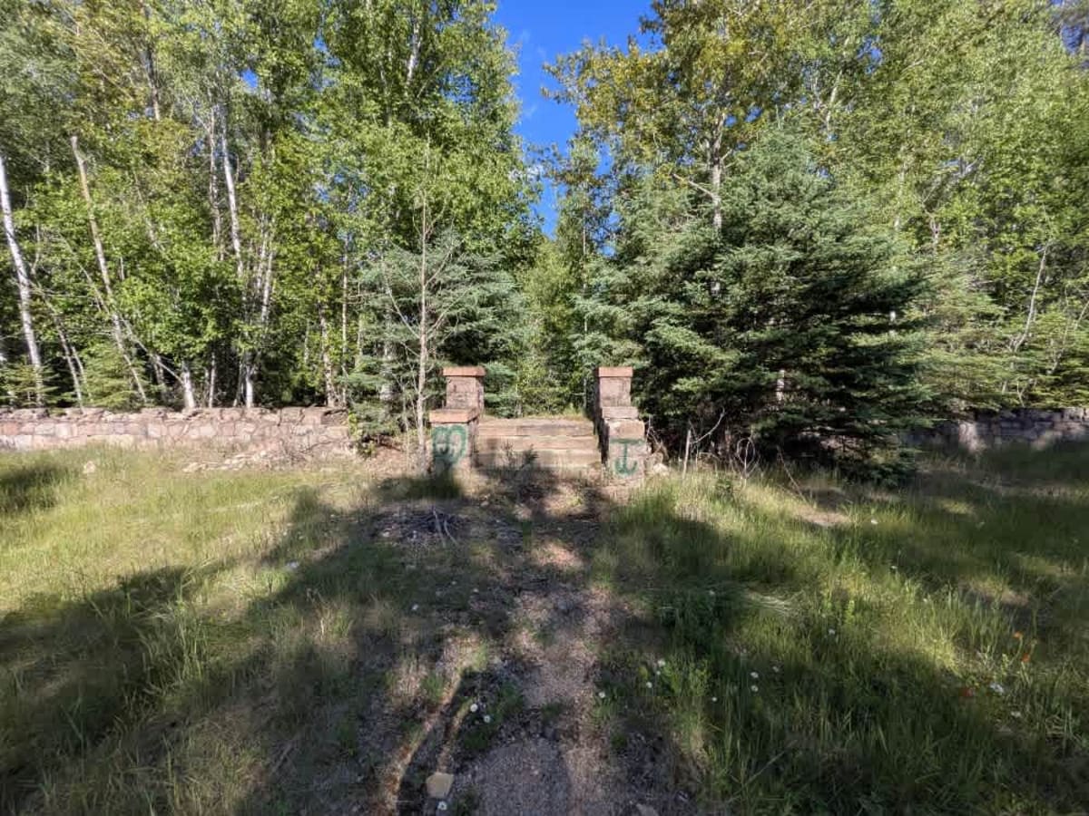
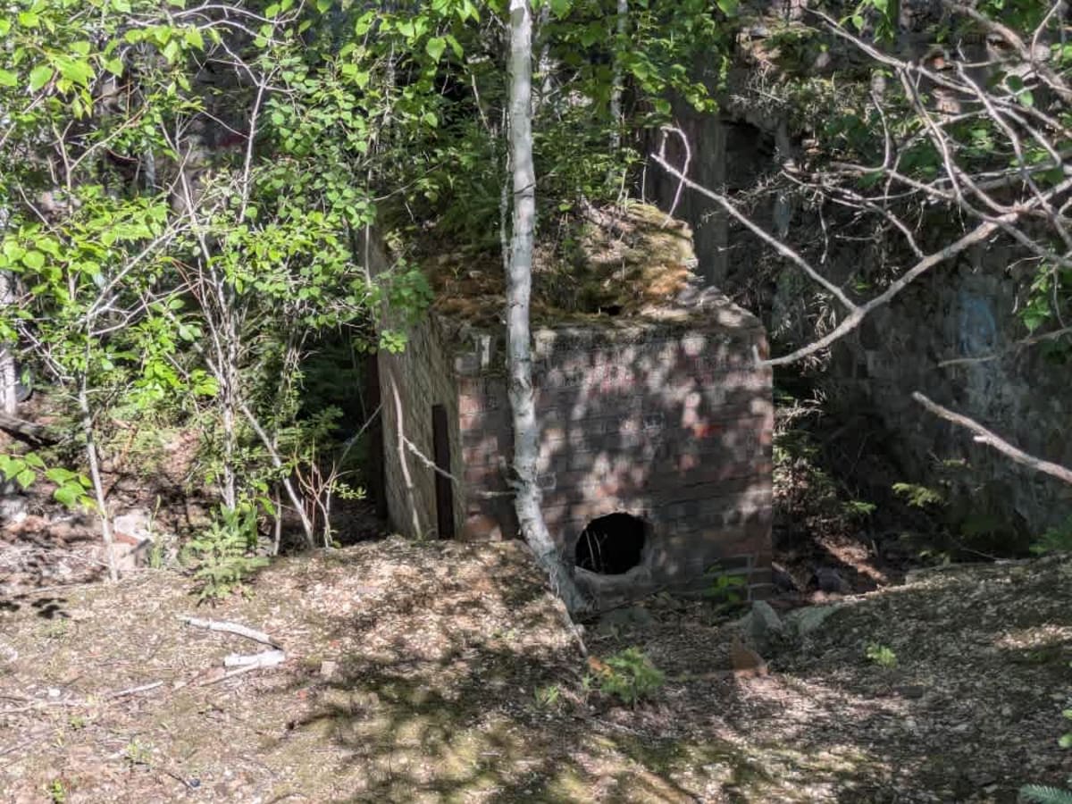
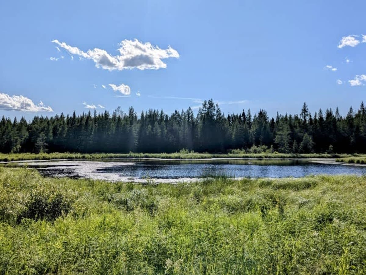
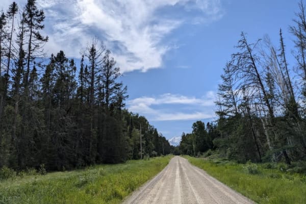
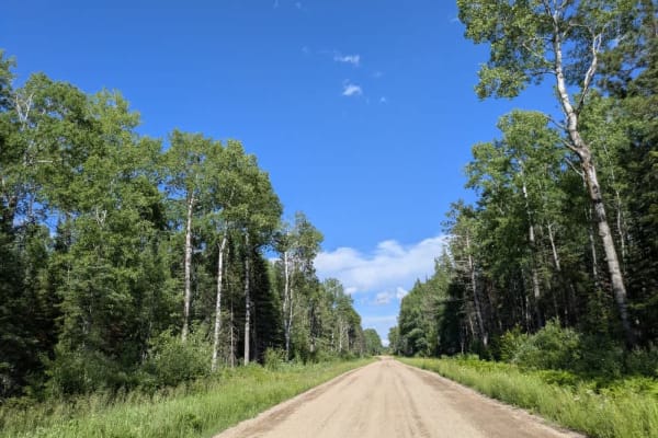
This trail is a wide, well-maintained gravel road that winds through a forested area and passes by several private residences. A few smaller trails branch off from the main route, though most appear narrow and potentially overgrown. One of the more notable features along the trail is a stone ruin partially hidden in the trees. The structure features thick stone walls that give it a castle-like appearance, and next to it lies another building that appears to be sunken into the forest floor. The origin of these ruins is unclear, but they may be the remnants of an old residence or a former sawmill. The area surrounding the ruins may be of interest to those using metal detectors or exploring historical sites. Despite the scenic and somewhat mysterious nature of the trail, there are no formal or dispersed camping opportunities. Basic services such as trash disposal and water access are not available, and cell phone reception may be limited or nonexistent.
Difficulty
This trail is well-maintained and regularly used by other OHV riders, road users, including residents in the area.
History
Superior National Forest was established in 1909 by President Theodore Roosevelt to protect the region's watersheds and natural resources after years of heavy logging and mining. The area has long been home to the Ojibwe people, who continue to maintain cultural ties to the land. In 1978, the Boundary Waters Canoe Area Wilderness within the forest was given added protection, making it one of the most visited wilderness areas in the U.S. today.