Trail Overview
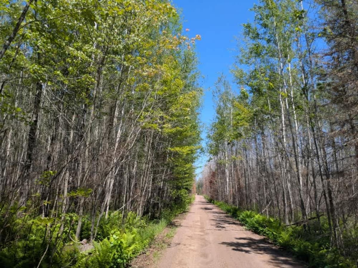
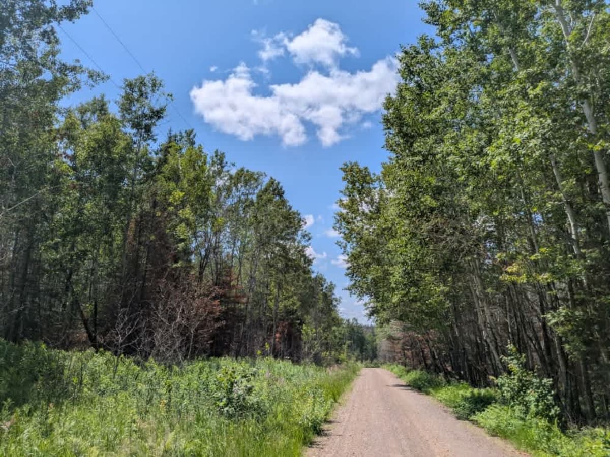
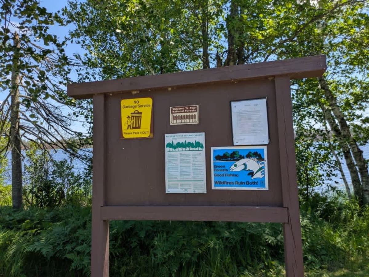
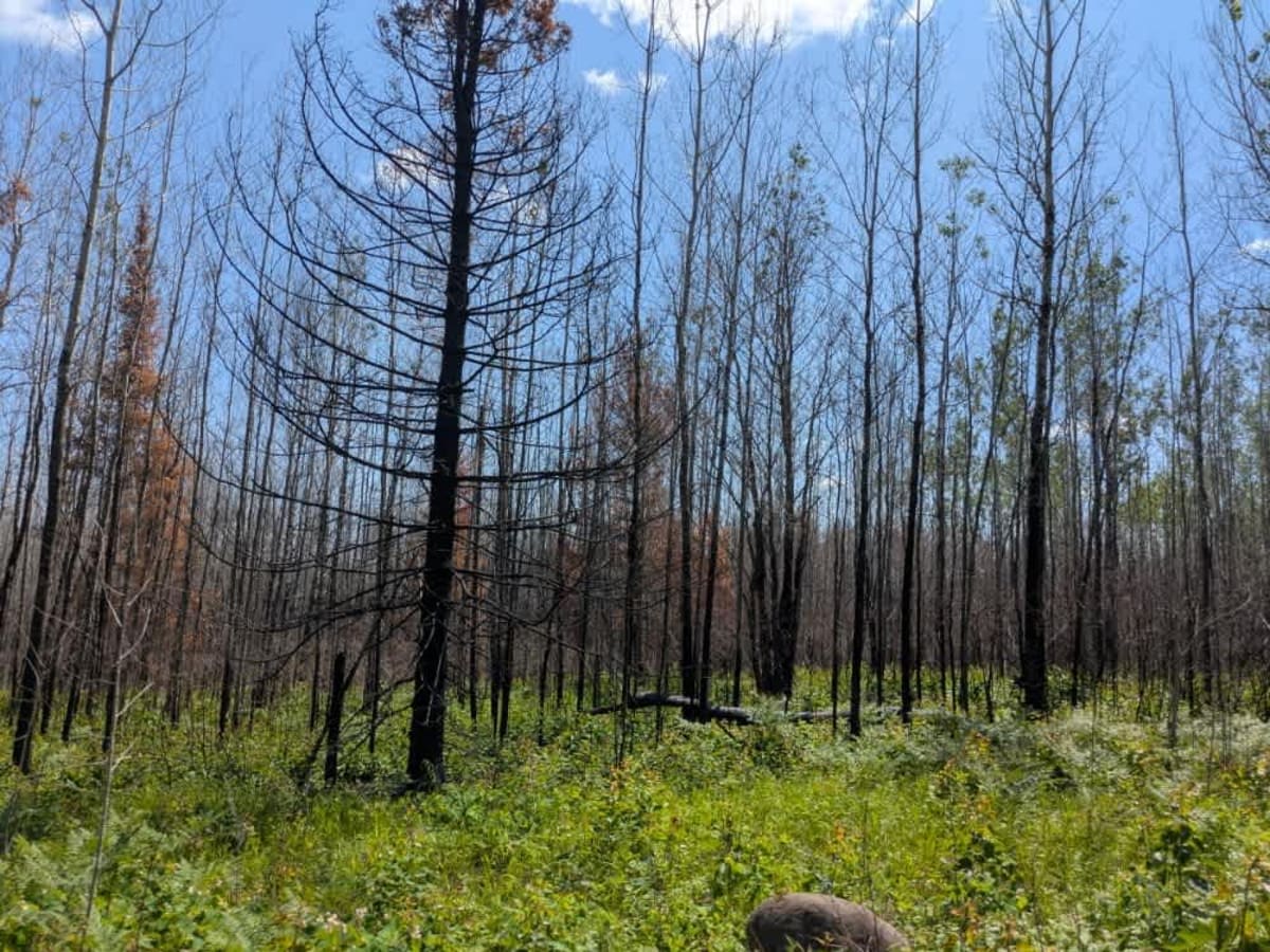
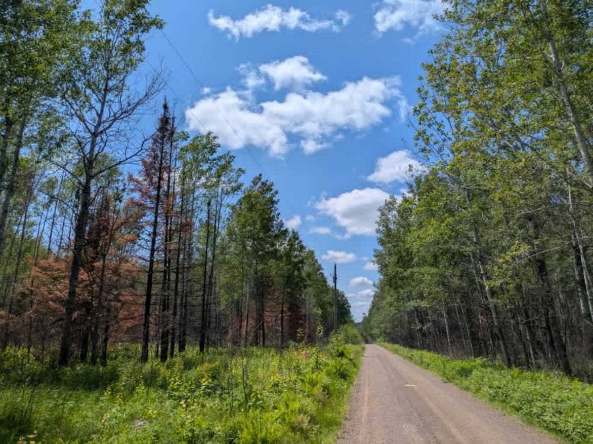
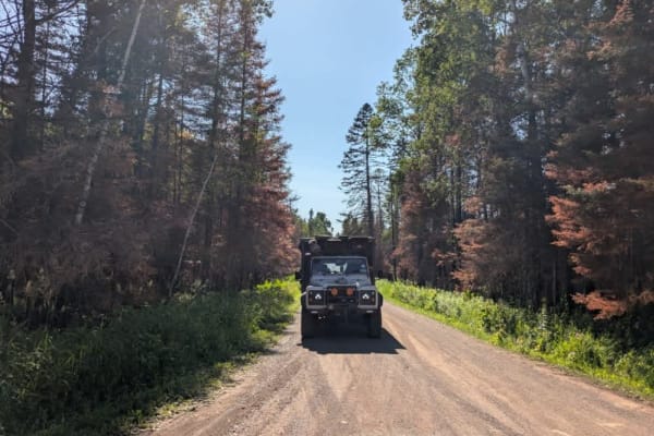
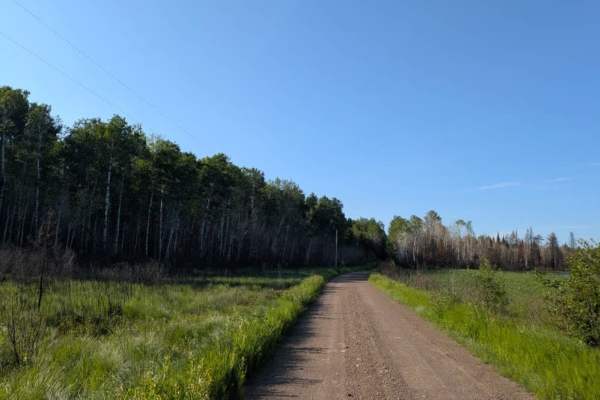
This narrow but well-maintained, corrugated trail begins at paved Highway 44 and travels through a mixed forest of birch, aspen, and pine before ending at Salo Lake. The route is part of the state road system, though traffic can be frequent due to nearby private residences and ongoing logging activity. Along the way, the forest setting is occasionally broken up by signs of recent timber work and residential driveways. At the end of the trail, visitors will find a small recreation area featuring a parking lot, restrooms, a boat launch, and a picnic site adjacent to the lake. While there are no designated campsites, dispersed camping may be possible near the lake or along the trail, depending on current forest service regulations. Past the boat launch, a posted sign indicates that the remaining section of road is private and restricted to local residents. Services are minimal--no trash bins or potable water sources are available--and cell service may be unreliable or unavailable. As always, anyone planning to camp should confirm current rules with local authorities and follow Leave No Trace practices.
Difficulty
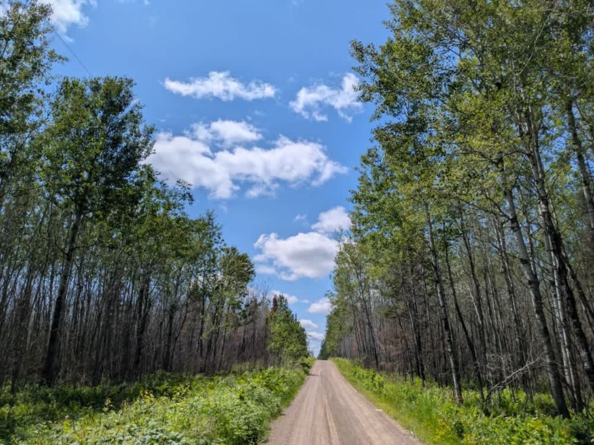
This forest trail is well-maintained and used daily by residents and adventurers. The route is wide and clear of debris, with established tread and minimal overgrowth--ideal for a smooth and scenic ride.