Pine Mountain Bypass

Total Miles2.5
Technical Rating
4Moderate
Best TimeSpring, Summer, Fall
Trail Type50" Trail
Accessible By

Open Trail Map

Trail Overview

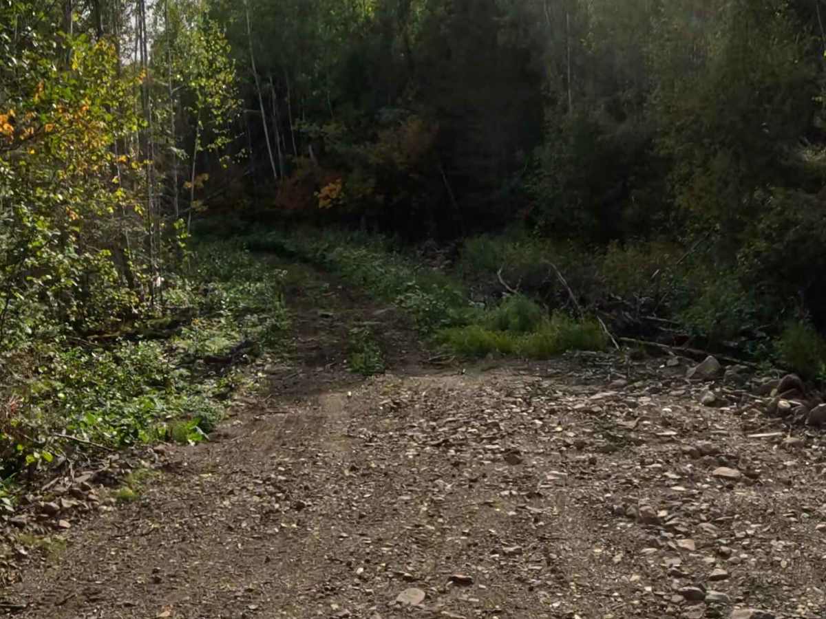
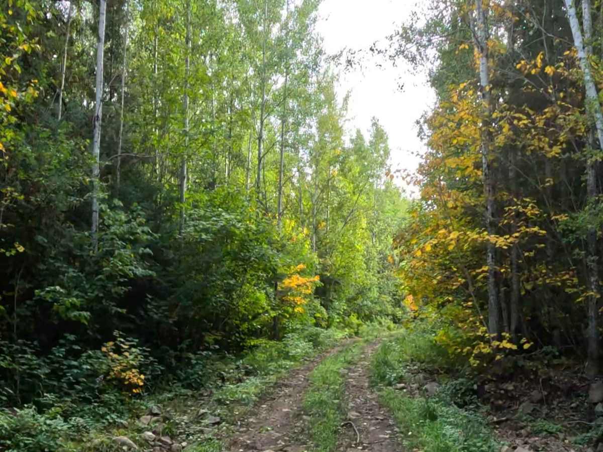
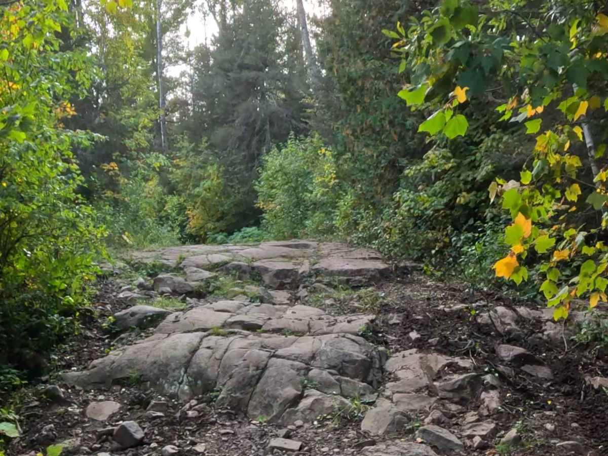
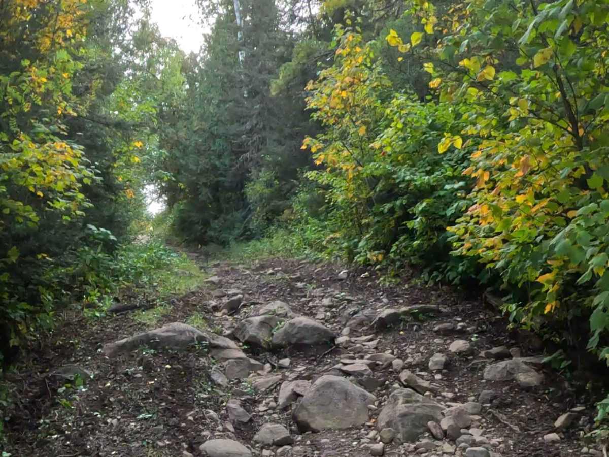
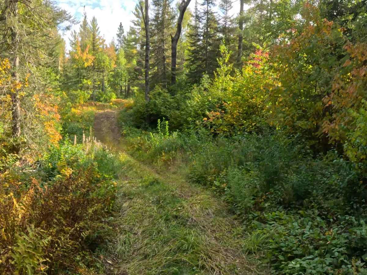
Pine Mountain Bypass runs roughly adjacent to Pine Mountain Road and is a really fun mix of easy two-track and steep, technical terrain. The steep grades have sections where erosion has exposed large slab rocks and loose boulders to navigate. Expect several step-up ledges, plenty of loose medium to large boulders, and rutted areas. This is a fun challenge compared to the relatively easy two-track found in most of Superior National Forest.

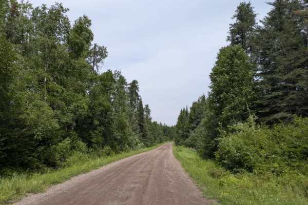
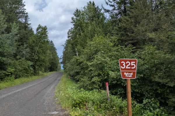
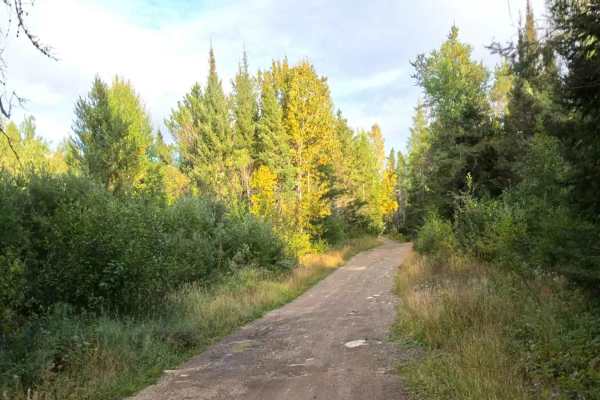
Photos of Pine Mountain Bypass

Difficulty

The main technical obstacles are the slab rocks and boulders that have been exposed on the steep hills. This isn't a full rock crawling expedition, but these sections do require some deliberate line choice, a bit of commitment, and some momentum.

Technical Rating

4

Pine Mountain Bypass Trail can be accessed by the following ride types:

  • Single Track
  • 50 Inch

Pine Mountain Bypass Map

The onX Offroad Difference

onX Offroad combines trail photos, descriptions, difficulty ratings, width restrictions, seasonality, and more in a user-friendly interface. Available on all devices, with offline access and full compatibility with CarPlay and Android Auto. Discover what you're missing today!

Open Trail Map