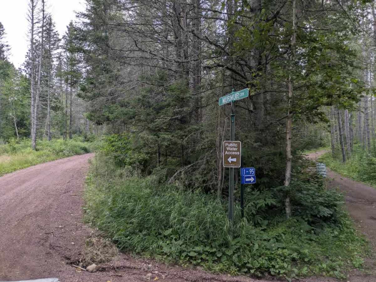
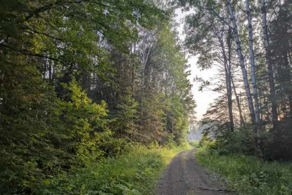
Trail Overview
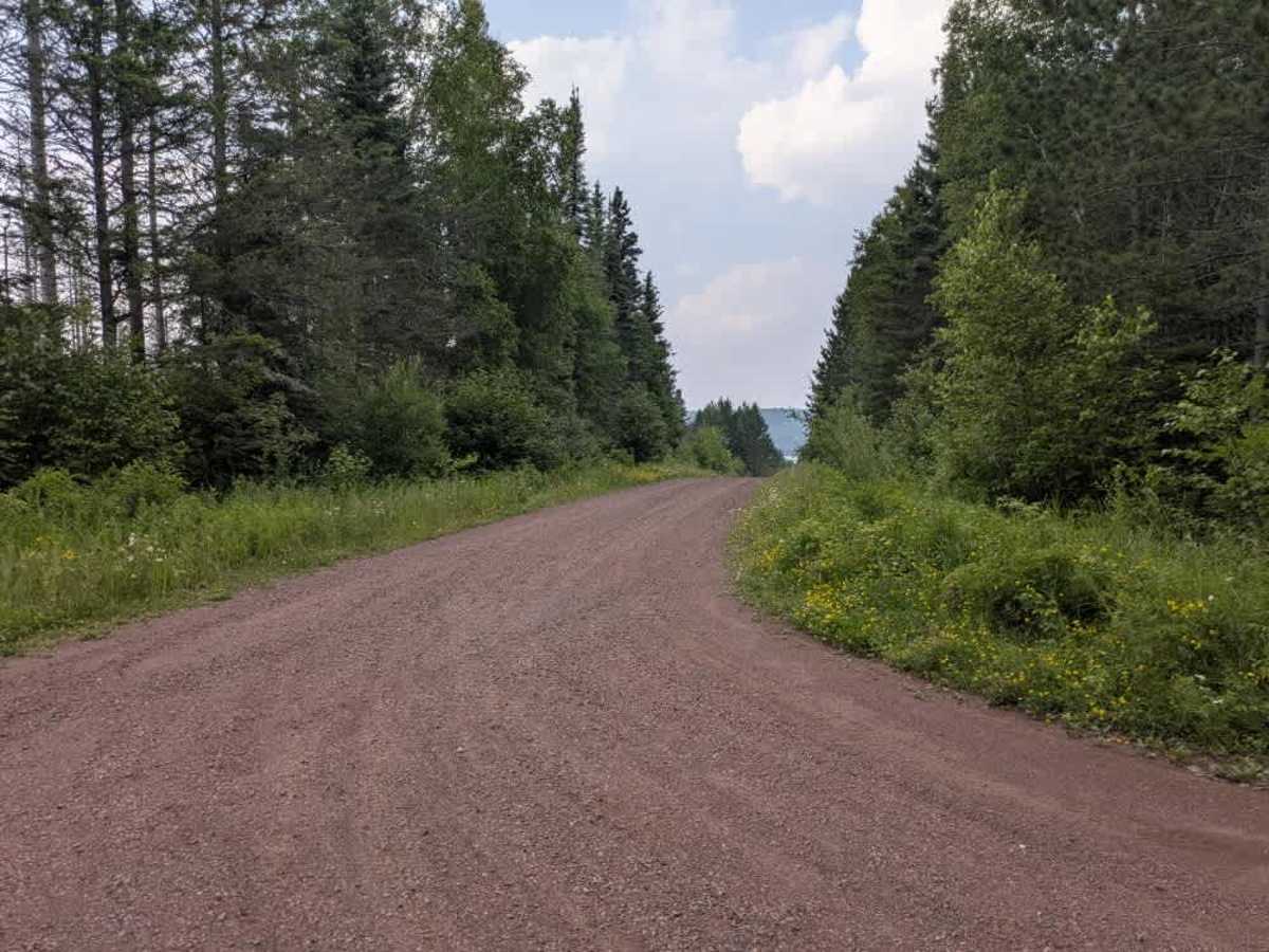
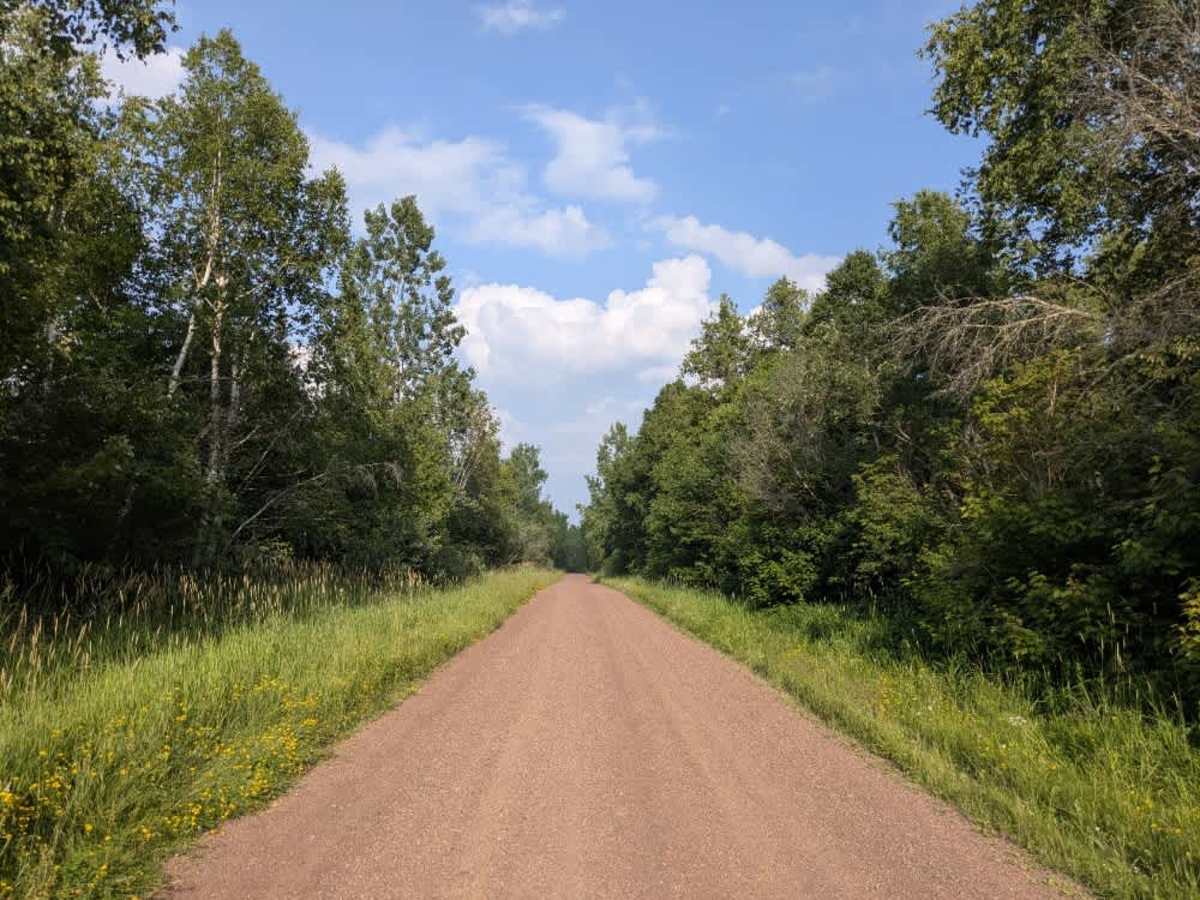
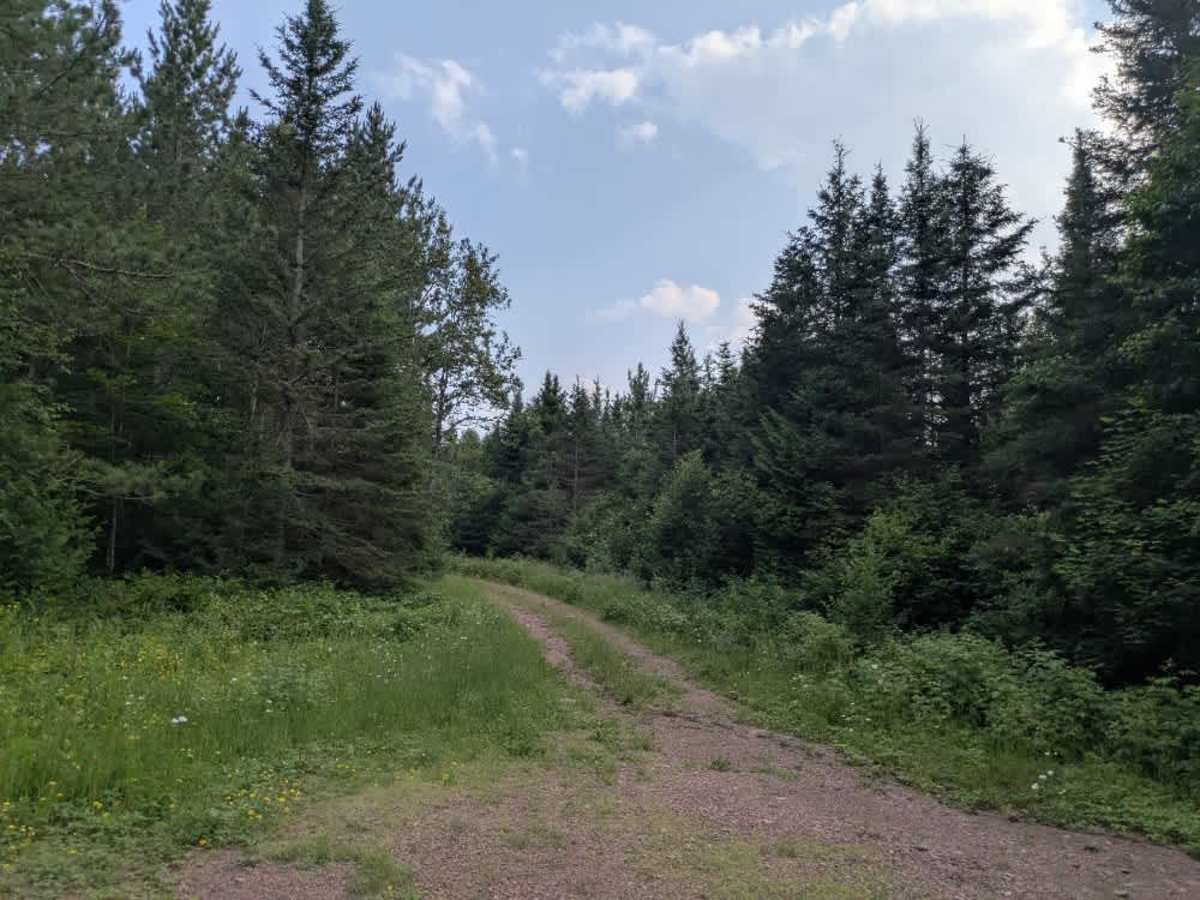
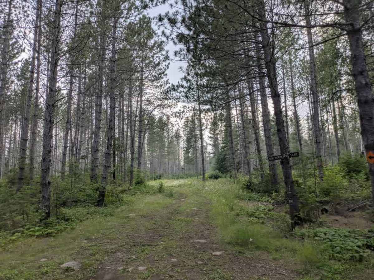
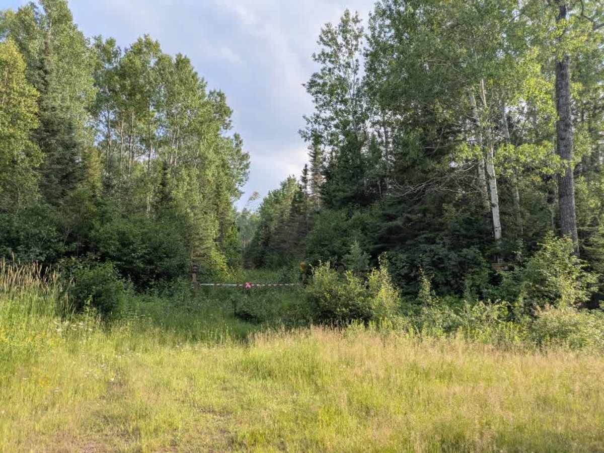
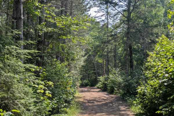
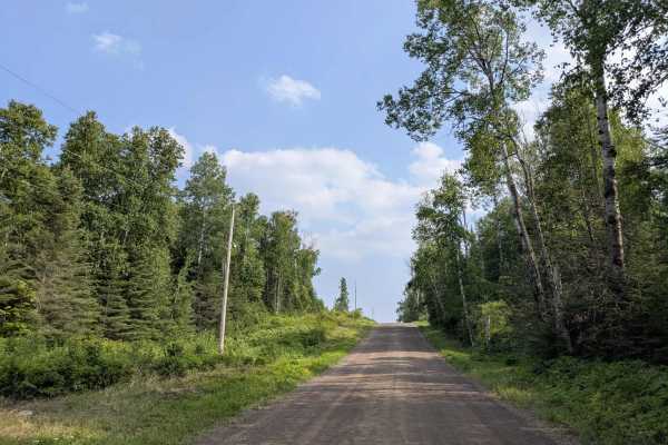
This trail follows a winding path through forested terrain. The route consists of well-maintained gravel and includes a mix of gradual climbs and descents, with occasional steep sections where water erosion has affected the surface. Several side trails branch off from the main route, though many are either non-motorized paths or behind locked gates. As the trail progresses, it passes the Ward Lake trail and intersects with another track that provides public access to a nearby body of water. A small creek crossing adds to the variety of terrain along the way. The trail also passes a number of residences, and drivers should be cautious around the tighter corners due to the possibility of encountering local traffic. While the scenery is appealing, the trail offers no designated or dispersed campsites, and there are no amenities such as water sources or trash facilities. Cell reception may be inconsistent throughout the area.
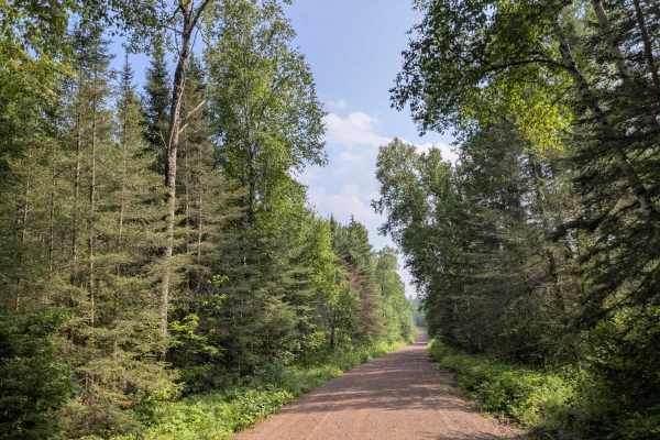
Difficulty
This forest trail is well-maintained and used daily by residents and adventurers. The route is wide and clear of debris, with established tread and minimal overgrowth, making it ideal for a smooth and scenic drive.