Trail Overview
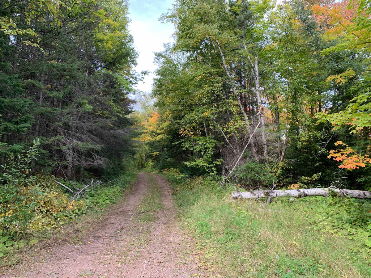
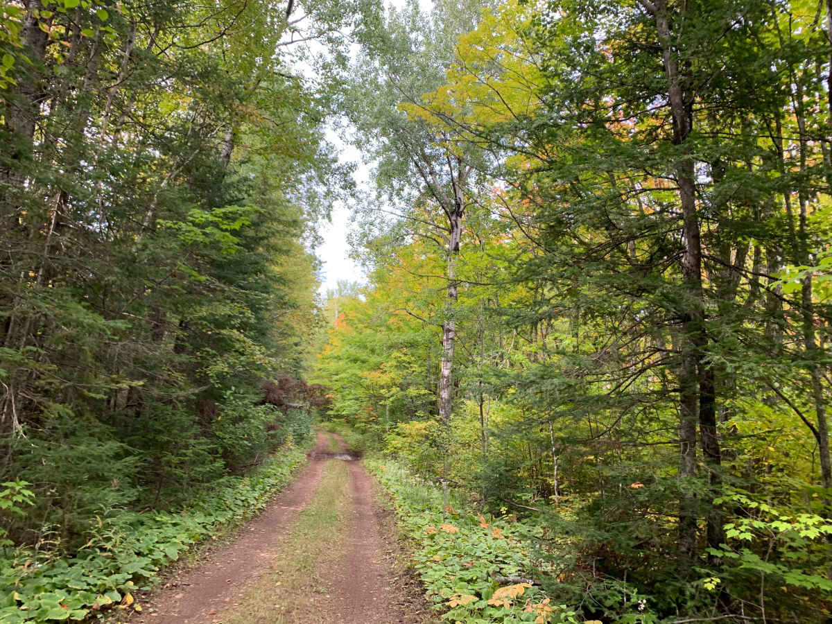
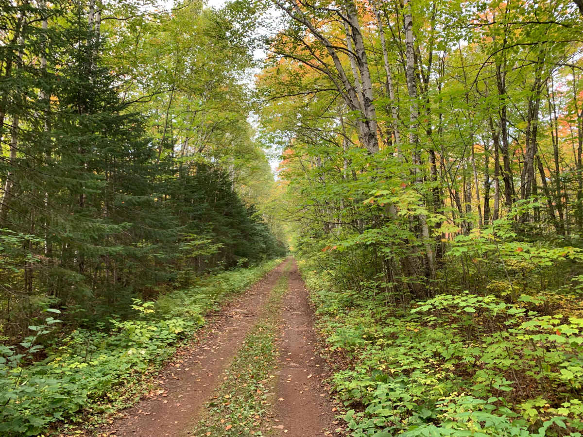
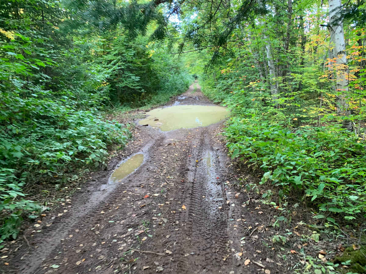
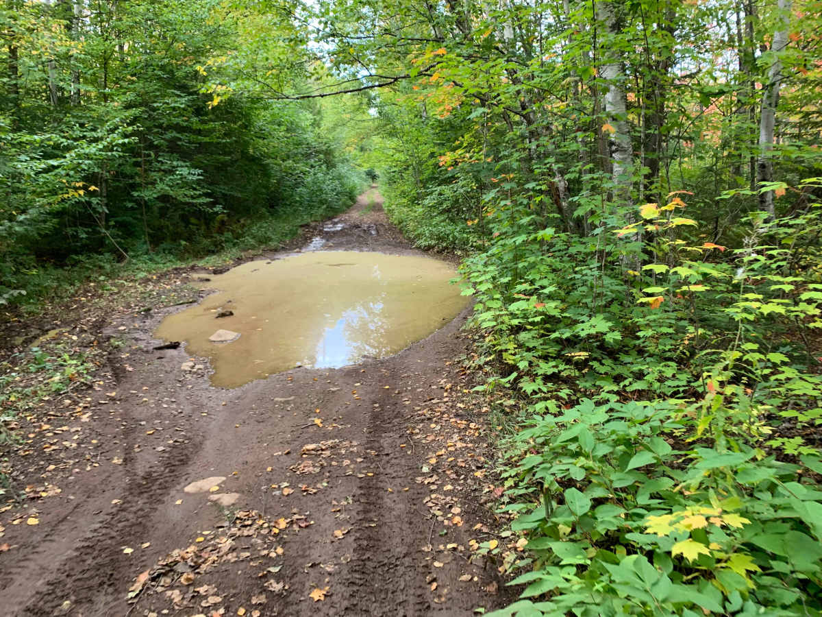
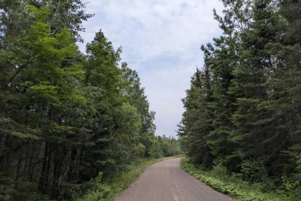
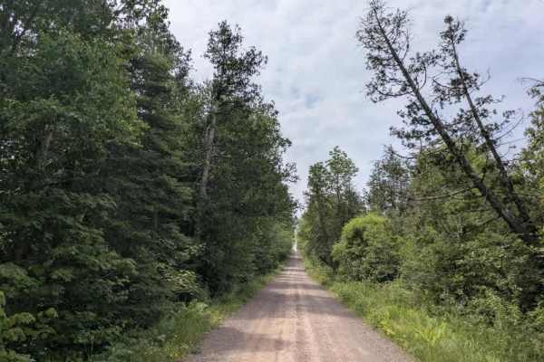
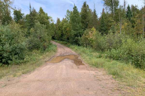
1855 Houghtaling is a 5.4-mile pass-through trail that can be traveled in either direction. The route varies between rocky dirt, grass, sand, and muddy sections, with frequent ruts, puddles, washouts, and embedded rocks. Rocks commonly range from 4–12 inches, with occasional larger obstacles requiring careful tire placement. Several sections are off-camber and heavily undulating.
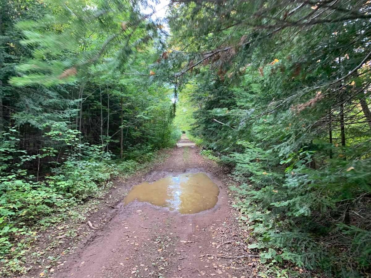
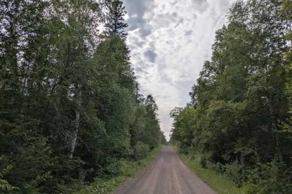
Vegetation becomes tight in places, with branches and trees extending into the driving line and occasional low overhead clearance. Several washouts and water-filled depressions were observed, including areas approximately 10–12 inches deep. A creek runs alongside portions of the route, and water was observed flowing into or across parts of the trail.
There are several open areas and potential dispersed camping locations along the route. The trail is suitable for full-size 4x4 vehicles but requires attention to rocks, ruts, washouts, water, and close vegetation.
Difficulty
The trail is generally passable for a high-clearance 4x4, but repeated 8–12 inch rocks, ruts, washouts, muddy areas, off-camber sections, and occasional water crossings require careful line selection. Close vegetation and low branches add additional vehicle-clearance considerations.