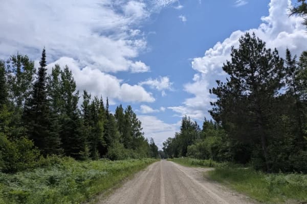
Trail Overview
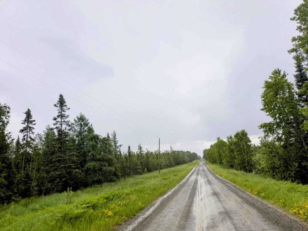
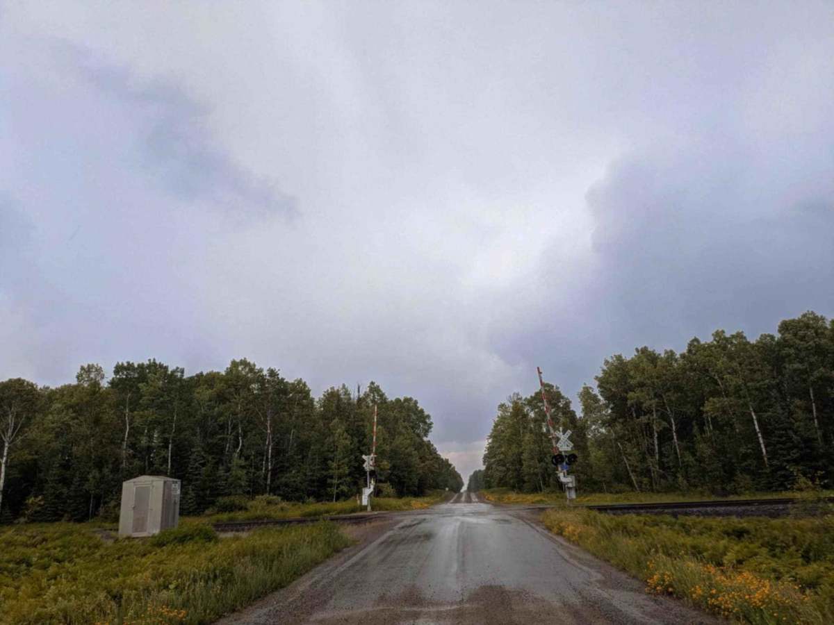
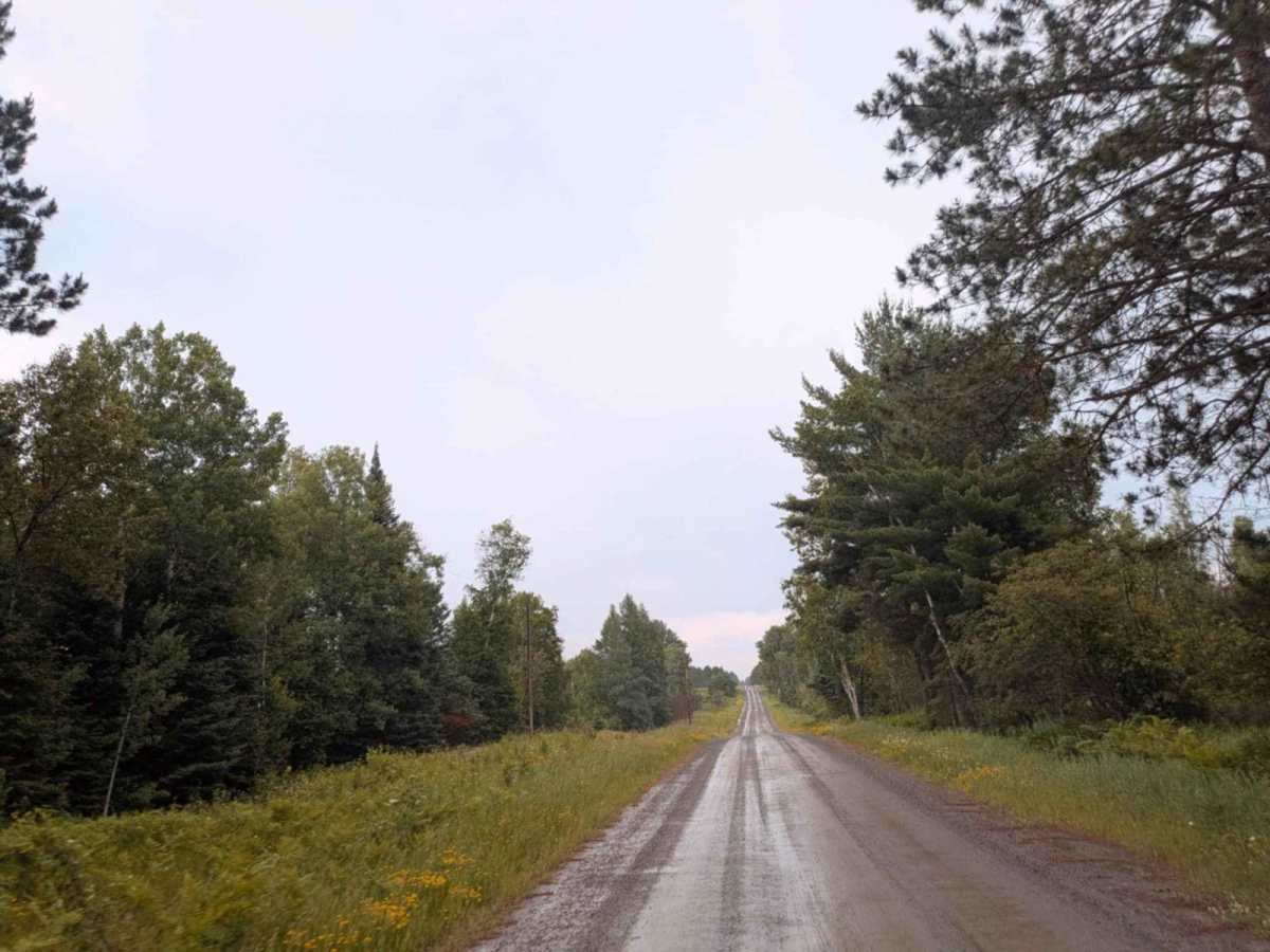
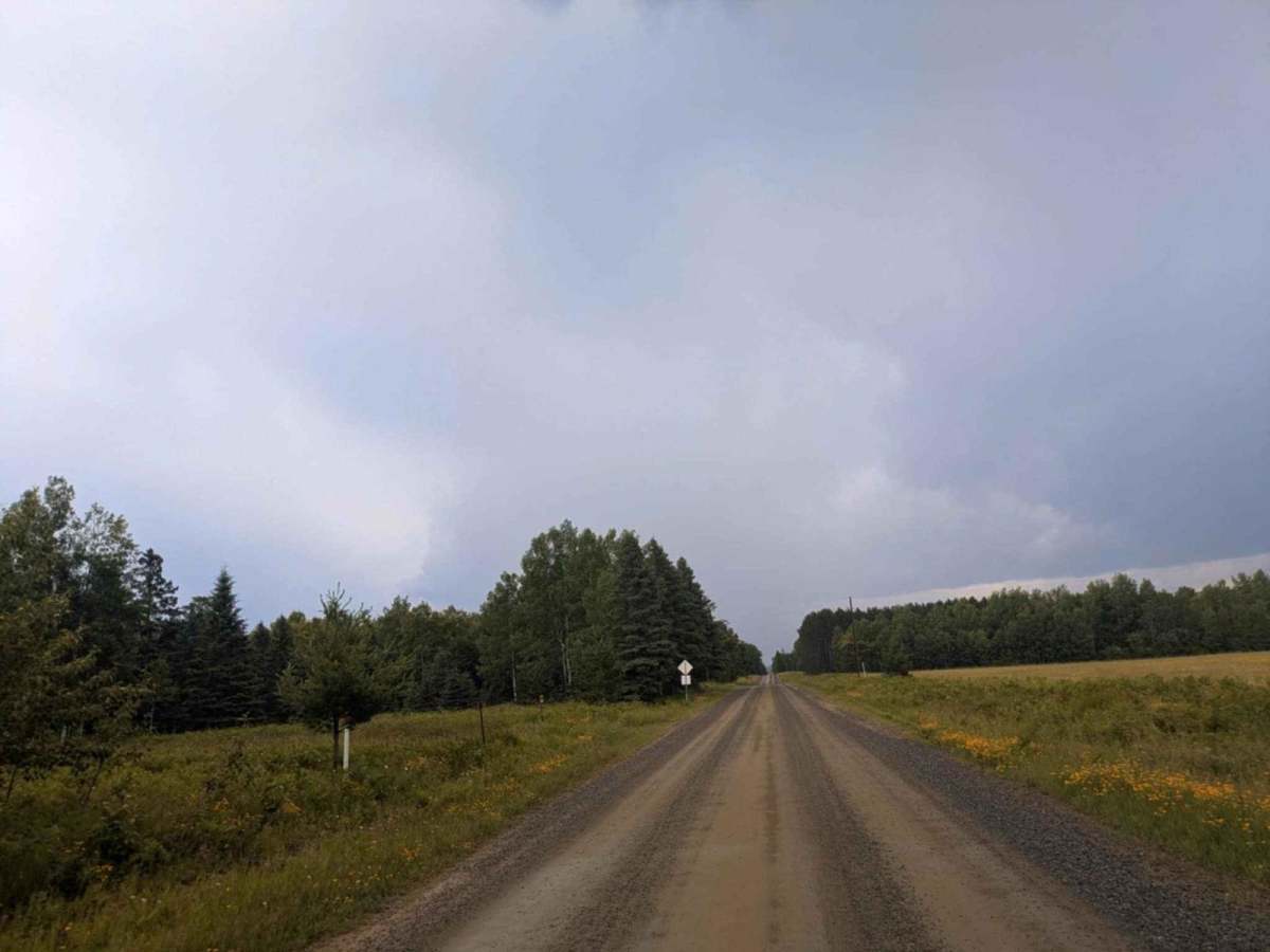
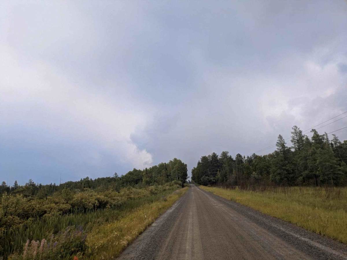
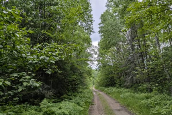
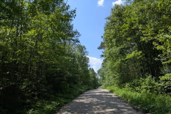
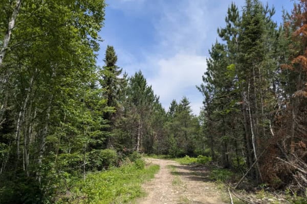
This trail is primarily straight, though it does curve gently in some areas as it passes through a mix of open fields and forest. The surface is well-maintained gravel, though there are occasional bumps caused by frequent use. Local traffic is common, so it's important to stay alert, especially around blind corners. A few side trails branch off from the main route, but most of them lead to private land and are clearly marked with signage indicating no public access. During the month of June, the area comes alive with a variety of wildflowers lining the trail, adding visual interest to the drive. However, sudden thunderstorms can move through the region, so it's worth keeping an eye on the weather. The trail also includes a railway crossing and reaches a fork where the road splits in a way that may not be immediately intuitive, so navigation requires attention. There are no designated or dispersed campsites along this trail, and it lacks services such as trash bins, water sources, or restroom facilities. Cell coverage may be weak or unavailable in some sections.
History
Superior National Forest was established in 1909 by President Theodore Roosevelt to protect the region's watersheds and natural resources after years of heavy logging and mining. The area has long been home to the Ojibwe people, who continue to maintain cultural ties to the land. In 1978, the Boundary Waters Canoe Area Wilderness within the forest was given added protection, making it one of the most visited wilderness areas in the U.S. today.