Trail Overview
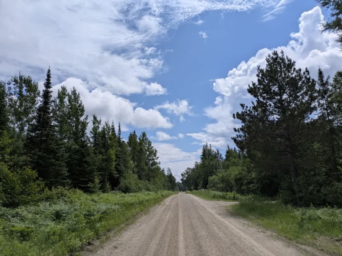
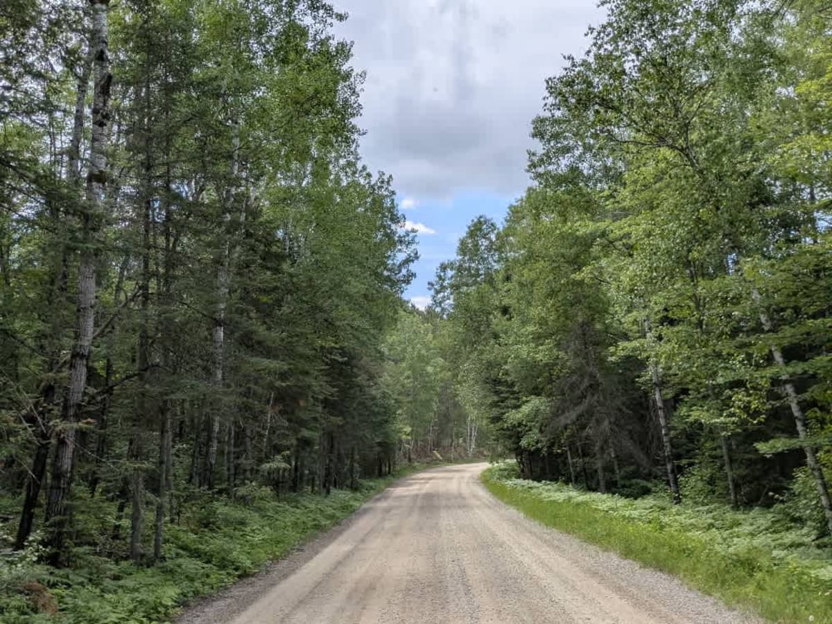
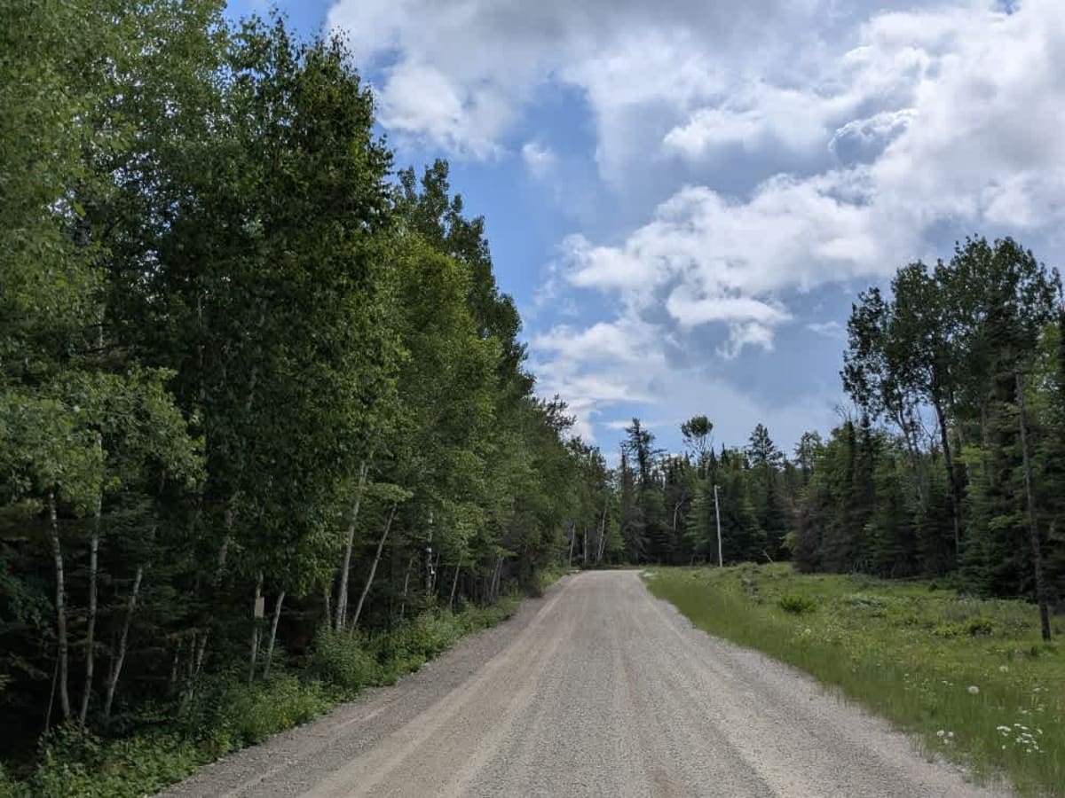
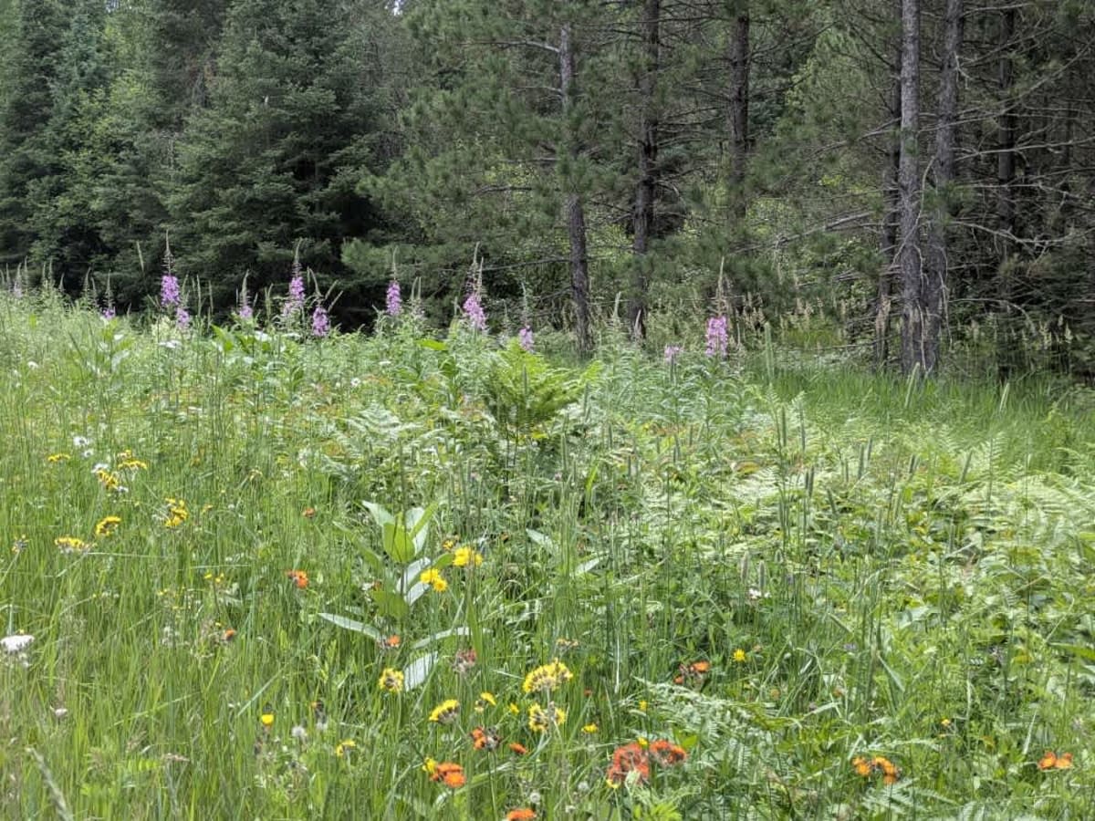
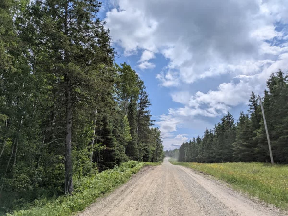
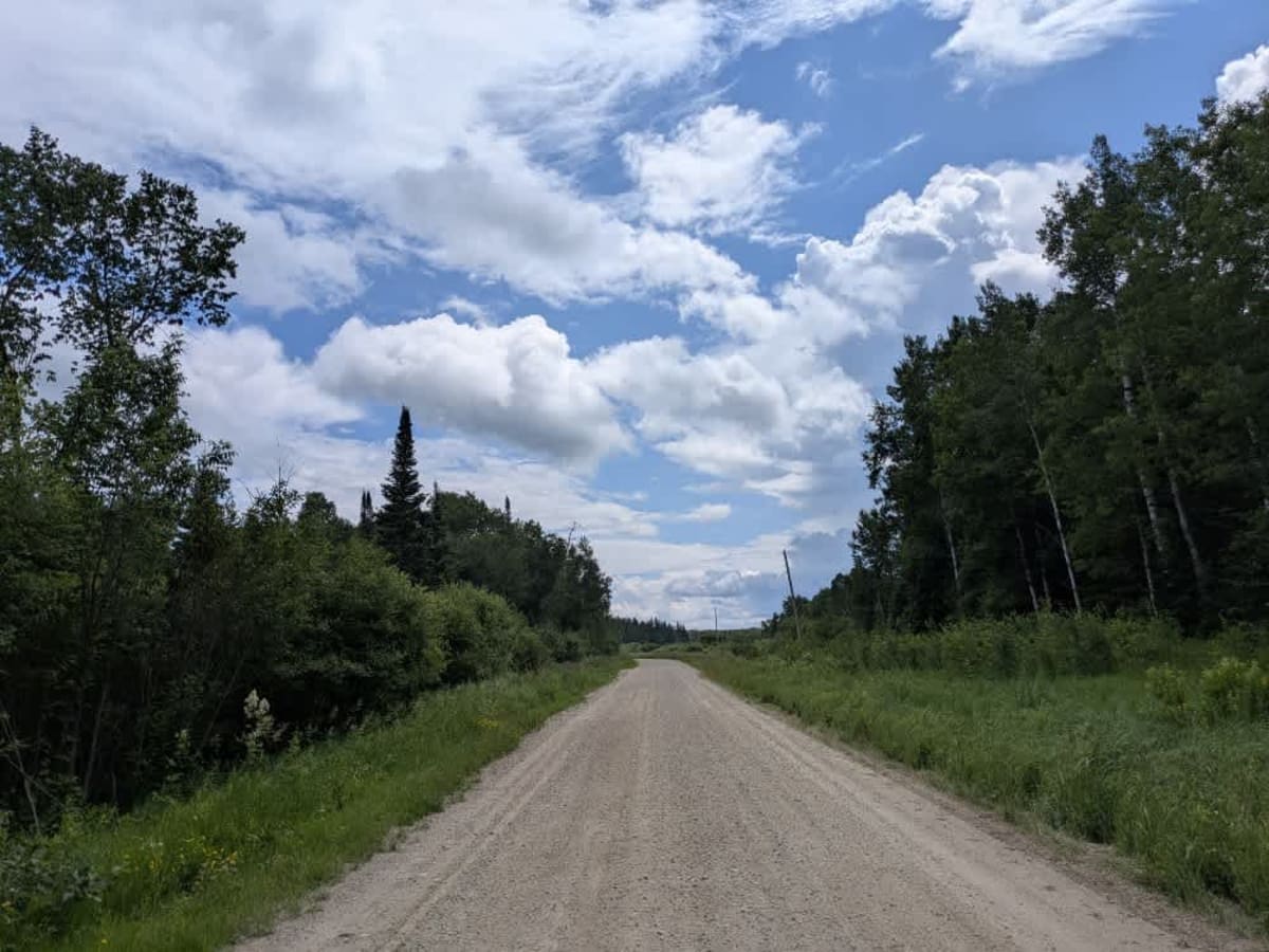
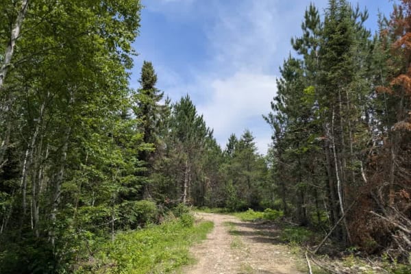
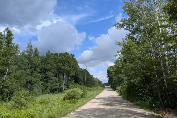
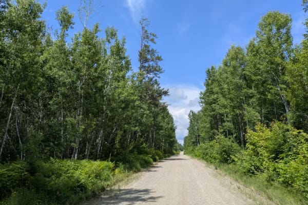
This trail begins at Highway 1 and runs past a handful of well-kept homesteads before winding its way through a mix of open and wooded terrain. The surface is generally well-graded gravel, making for a comfortable drive, though there are several gentle ascents, descents, and curves along the way that require attention. A few narrow and overgrown trails branch off into the surrounding forest, including one that appears to be a disused or seasonal snowmobile route. These offshoots are not maintained and may not be suitable for most vehicles. Local traffic is occasionally present, particularly near residential areas, so it's worth keeping your speed down and staying alert. The trail concludes at the start of Heino Trail and includes a railway crossing, which should be approached with caution. There are no established or dispersed camping options along this route. Facilities such as water sources, restrooms, and trash disposal are not available, and cell service may be unreliable or nonexistent in some areas.
History
Superior National Forest was established in 1909 by President Theodore Roosevelt to protect the region's watersheds and natural resources after years of heavy logging and mining. The area has long been home to the Ojibwe people, who continue to maintain cultural ties to the land. In 1978, the Boundary Waters Canoe Area Wilderness within the forest was given added protection, making it one of the most visited wilderness areas in the U.S. today.