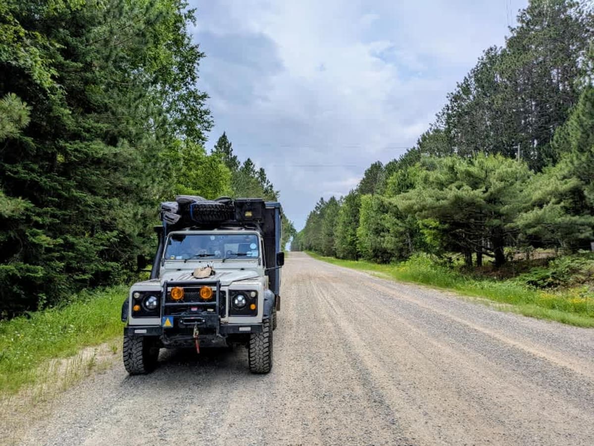
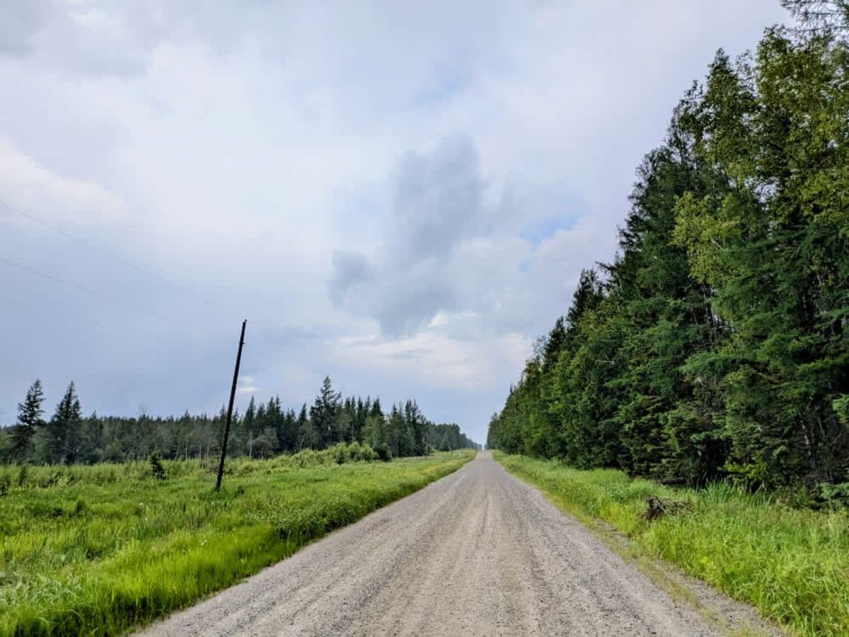
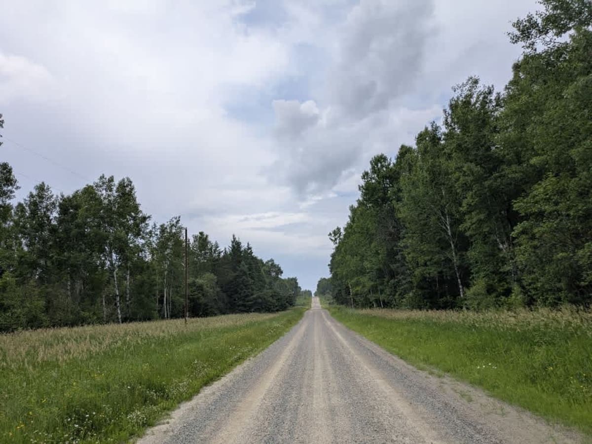
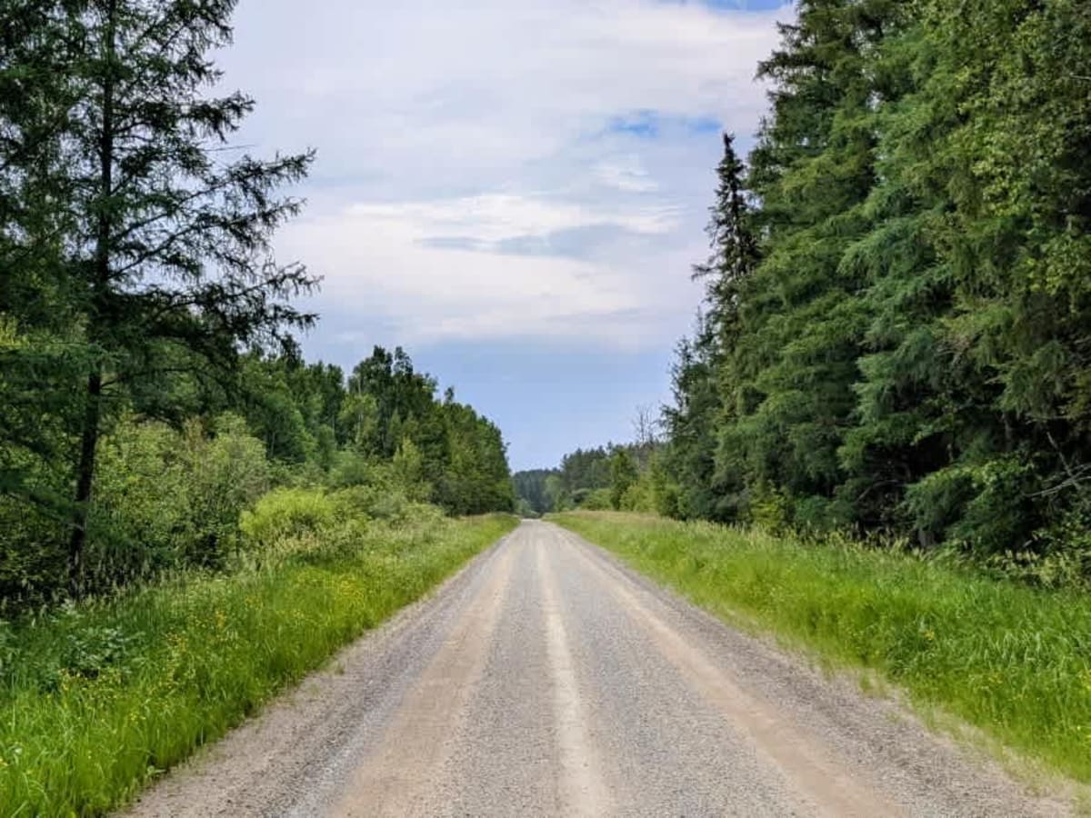
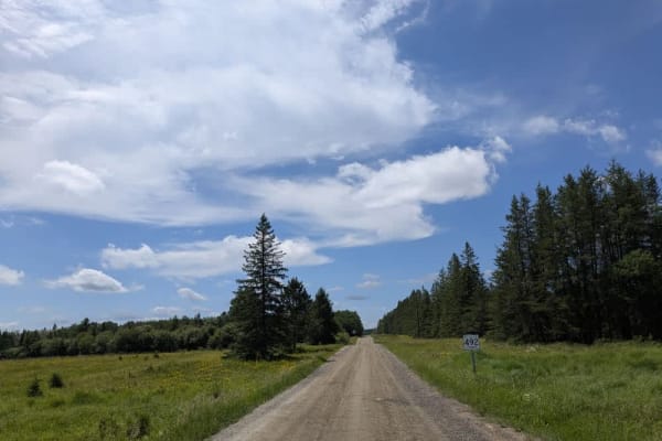
Trail Overview
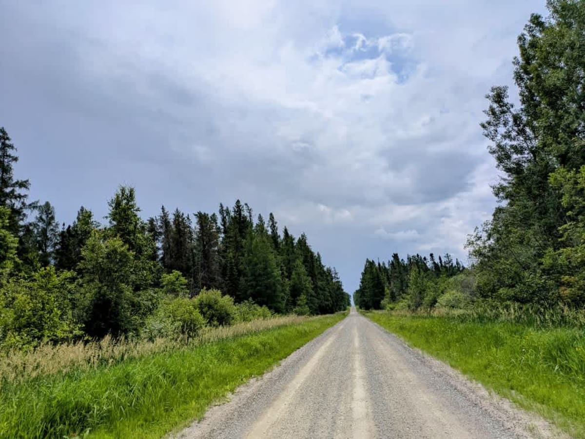
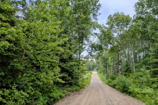
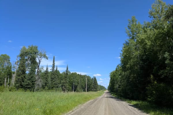
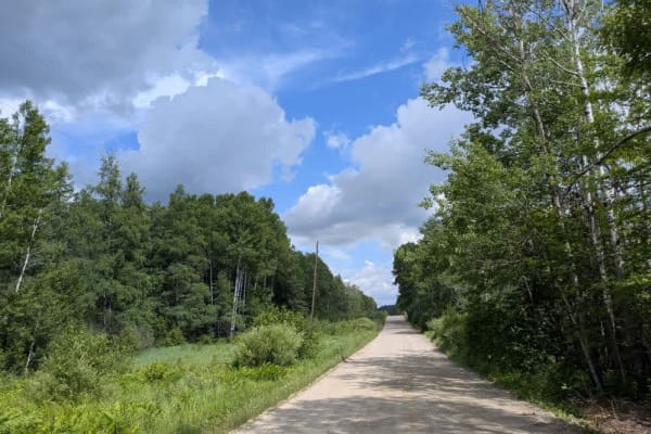
This trail is a long, straight stretch of well-maintained gravel that serves as an access route into the Superior National Forest. Along the way, it rises and falls with gentle ascents and descents, offering a relatively smooth drive through a mix of open fields and dense forest. A handful of spur roads branch off from the main route and lead to private residences, so it's worth keeping an eye out for local traffic. Some additional trails head deeper into the woods, but many of these are gated and marked as private property. There may be a few open-access trails scattered along the route, but they are the exception rather than the rule. This trail does not offer any designated or dispersed campsites, nor are there facilities such as trash bins or potable water sources. Cell service can be patchy or unavailable in places, so it's best to be prepared before heading in.
Difficulty
This trail is well-maintained and regularly used by other OHV riders, road users, including residents in the area.
History
Superior National Forest was established in 1909 by President Theodore Roosevelt to protect the region's watersheds and natural resources after years of heavy logging and mining. The area has long been home to the Ojibwe people, who continue to maintain cultural ties to the land. In 1978, the Boundary Waters Canoe Area Wilderness within the forest was given added protection, making it one of the most visited wilderness areas in the U.S. today.