Trail Overview
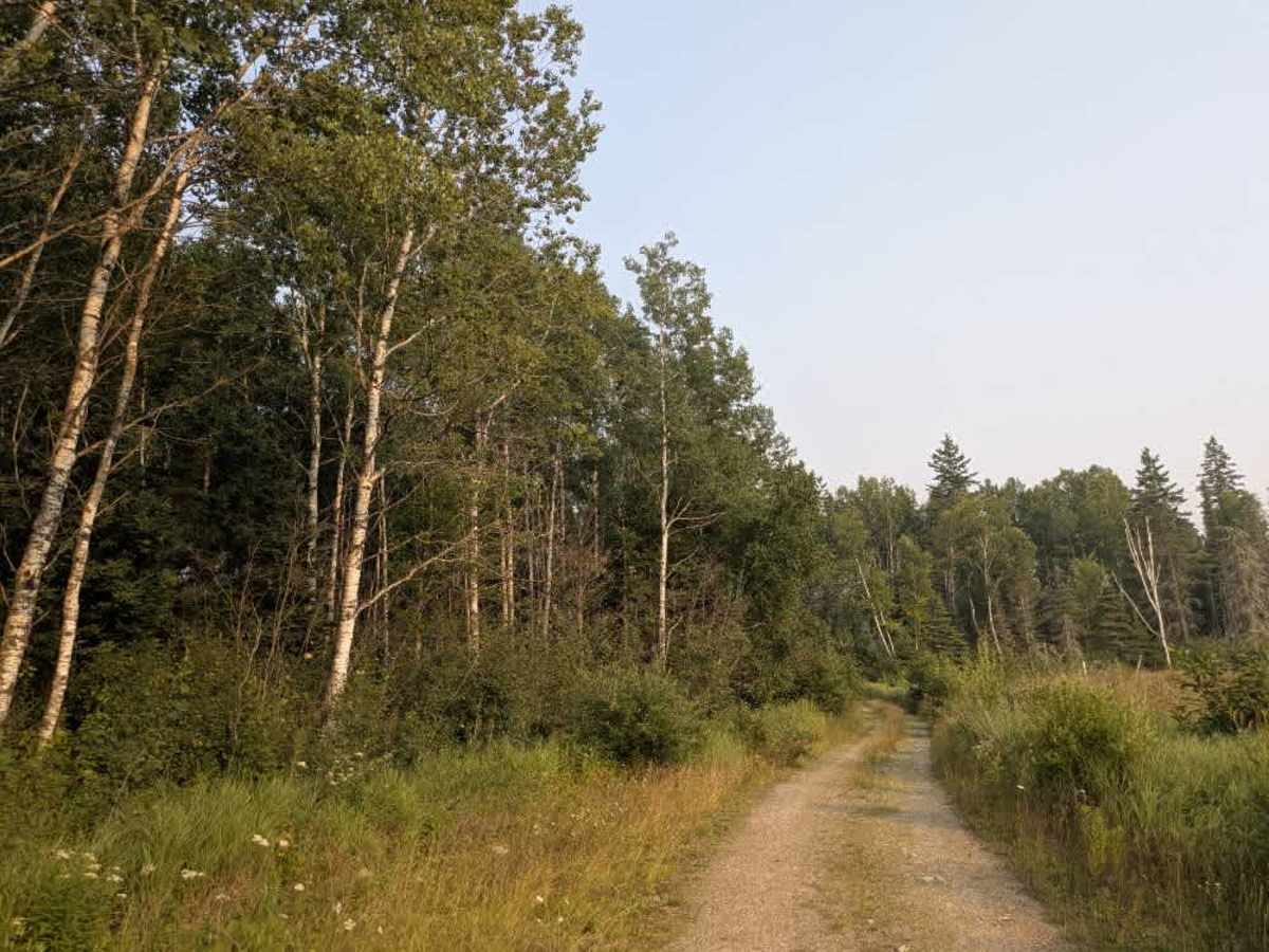
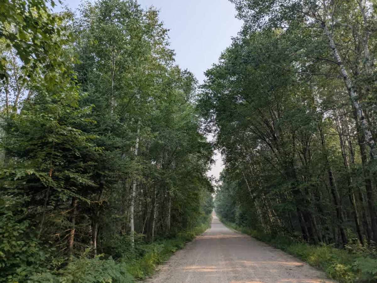
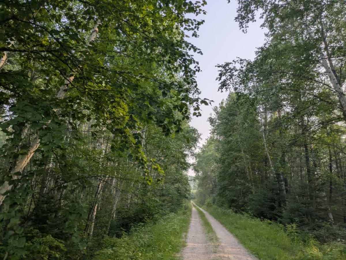
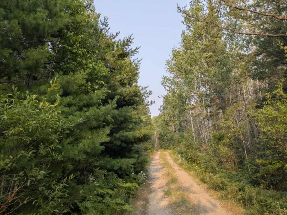
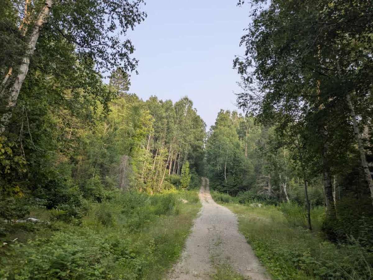
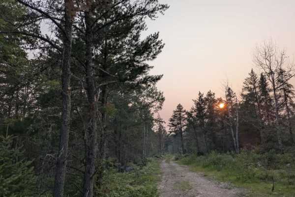
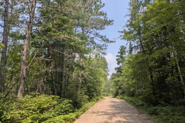
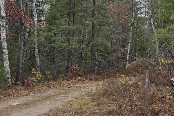
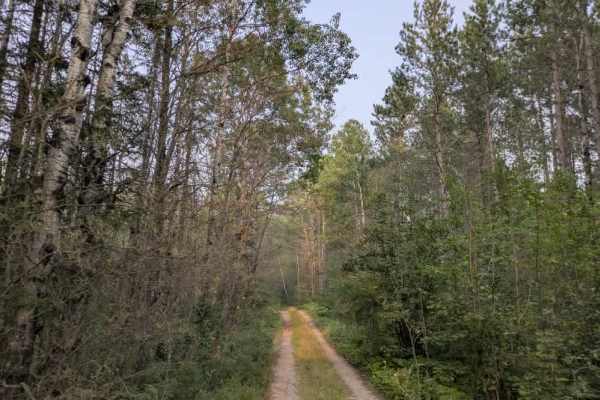
This long and scenic trail begins as a wide, well-maintained gravel road that winds through forested terrain with a series of ascents and descents. Along the way, numerous side trails branch off from the main route, some in better condition than others. A hiking trail also intersects the route, the main trail crossing a bridge and passing over a river. The surrounding landscape includes striking rock formations that add to the trail’s visual appeal. As the trail reaches Far North Road, it meets an intersection marked by a locked yellow gate and several road signs to the right. Beyond this point, the condition of the trail deteriorates noticeably. It becomes a narrow, overgrown two-track with a high risk of pinstriping, and the surface is often rocky, bumpy, wet, and muddy. Off-camber sections and a nearby wetland add to the challenge. Eventually, the trail reaches a small clearing and a sign posted beside the track indicating the trail ends in 500 feet within dense forest. There are no formal or dispersed campsites along this route, and it lacks amenities such as potable water or trash disposal. Cell service may be limited or entirely unavailable. At Hilda Creek Spur W, all types of vehicles are permitted, but not before this point.
Difficulty
The trail is maintained but can develop light overgrowth between trims, especially in the winter months. Commonly used by local OHV traffic, the path remains visible and passable, though branches and low brush may occasionally encroach. The start of this trail is well-maintained, but gradually becomes more overgrown and unmaintained. At Hilda Creek Spur W, all types of vehicles are permitted, but not before this point.