FS 467

Total Miles1.8
Technical Rating
1Easy
Best TimeSpring, Fall, Winter, Summer
Trail TypeFull-Width Road
Accessible By
Open Trail Map

Trail Overview

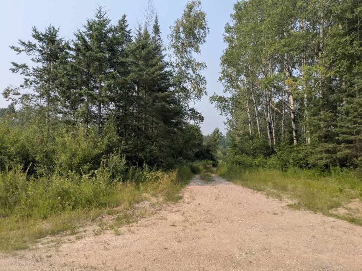
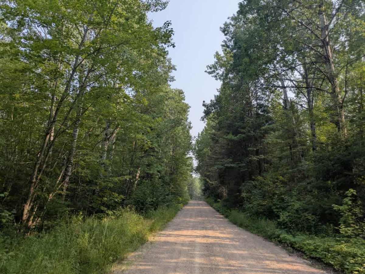
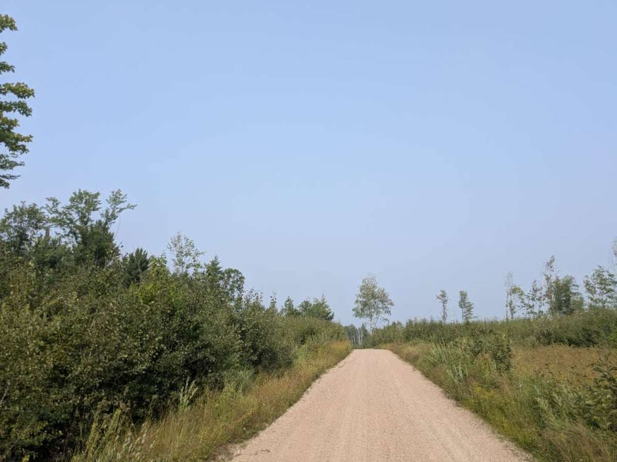
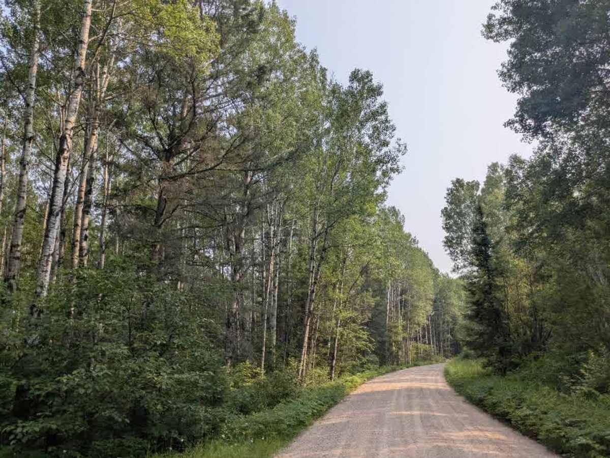
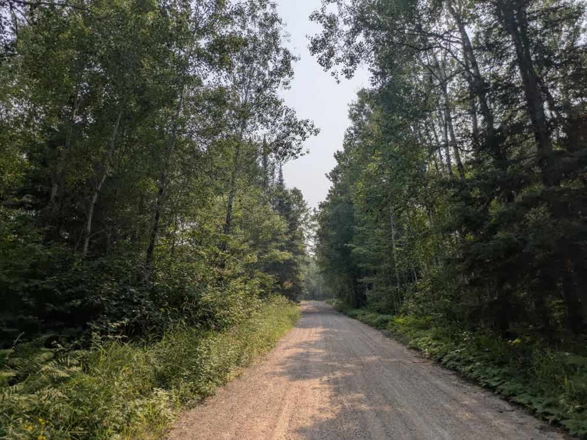
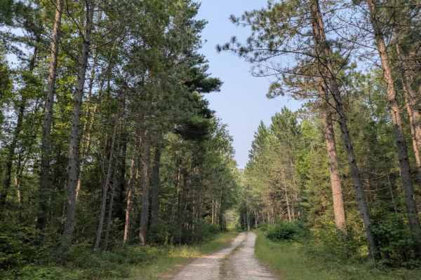
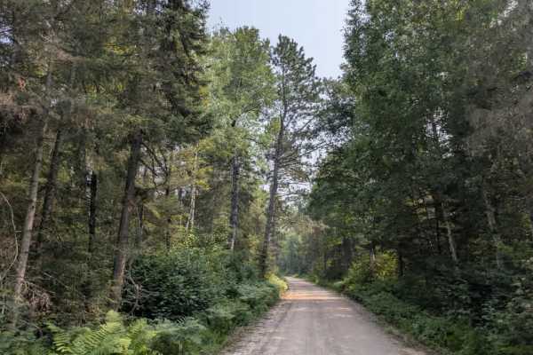
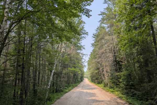
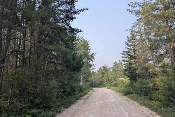
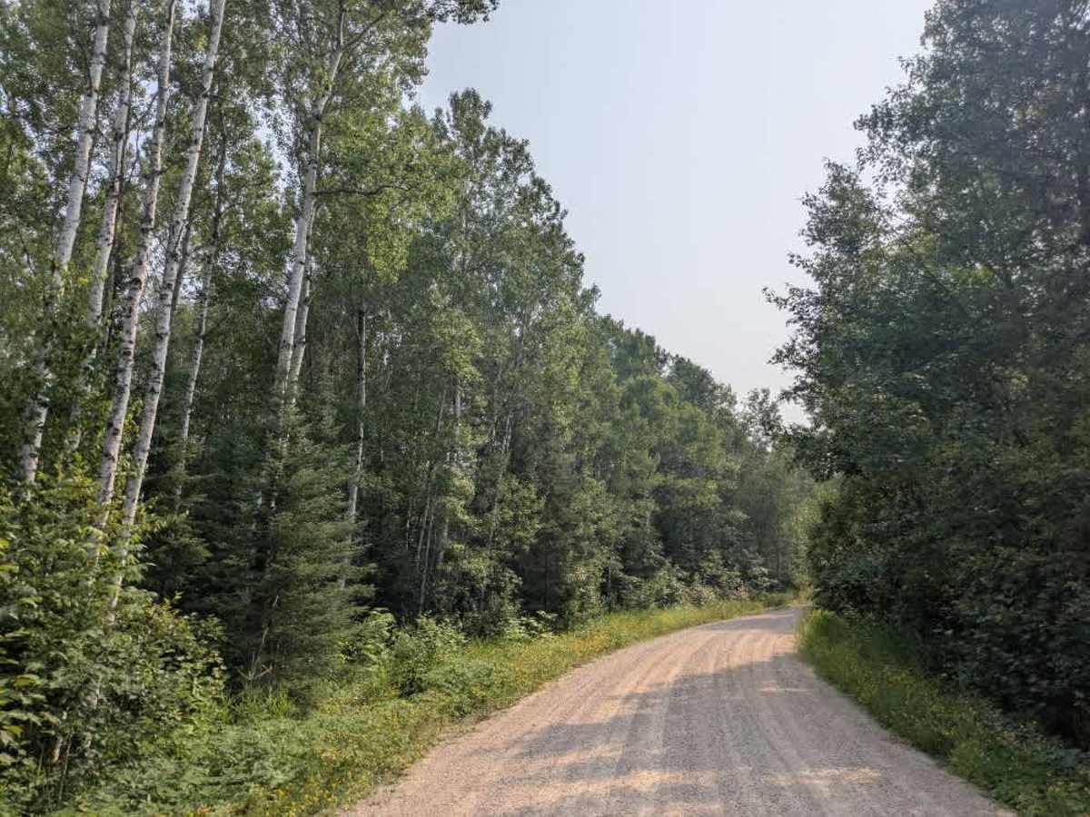
This trail is a well-maintained gravel road, wide enough for two vehicles, and winds through a forested area with a mix of gentle and occasionally steep ascents and descents. A notable feature of the route is a sharp hairpin bend, which requires careful navigation. Several smaller trails branch off from the main road, though most of these lead onto private land and are not intended for public use. A designated hiking trail intersects the route and includes a small parking area for trail users. Drivers should remain alert for both local traffic and hikers, particularly near trail crossings. The route also passes through a wetland section, which may be soft in places depending on recent weather conditions. While the trail offers a pleasant drive through natural surroundings, it does not include any formal or dispersed campsites. There are no amenities such as trash bins or potable water, and cell phone reception may be limited.

Photos of FS 467

Difficulty

This forest trail is well-maintained and used by adventurers. The route is wide and clear of debris, with established tread and minimal overgrowth, making it ideal for a smooth and scenic drive.

Technical Rating

1

Status Reports

Add Status Report
Steve Ott
Apr 26, 2026
Open
Used to have a sign "no ATV's" but it disappeared about 1 year ago. I can't find any information if it is legal or not.

FS 467 Trail can be accessed by the following ride types:

  • High Clearance
  • Full Width

FS 467 Map

The onX Offroad Difference

onX Offroad combines trail photos, descriptions, difficulty ratings, width restrictions, seasonality, and more in a user-friendly interface. Available on all devices, with offline access and full compatibility with CarPlay and Android Auto. Discover what you're missing today!

Open Trail Map