Trail Overview
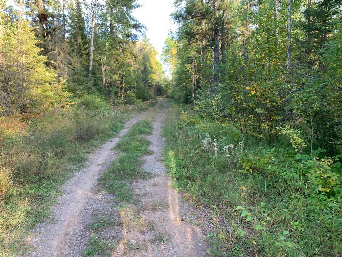
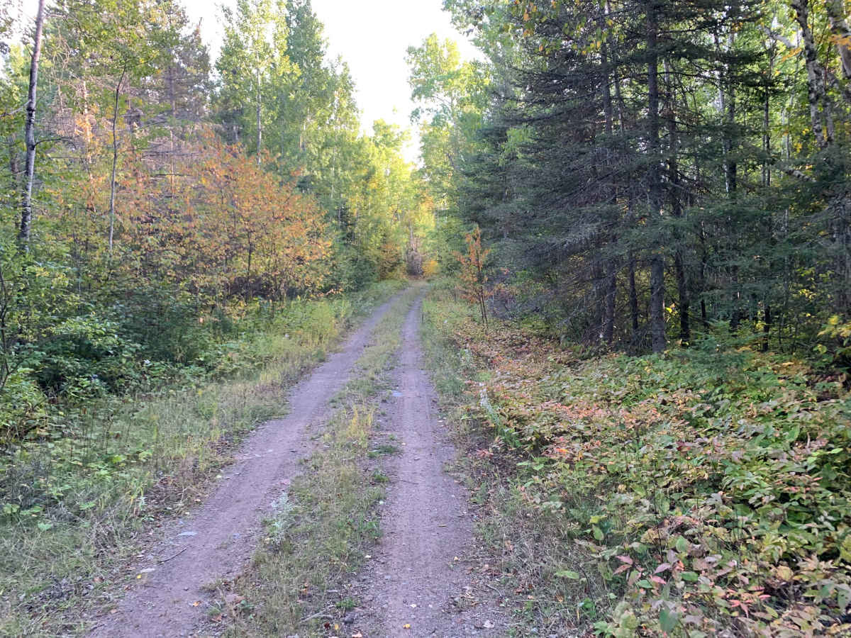
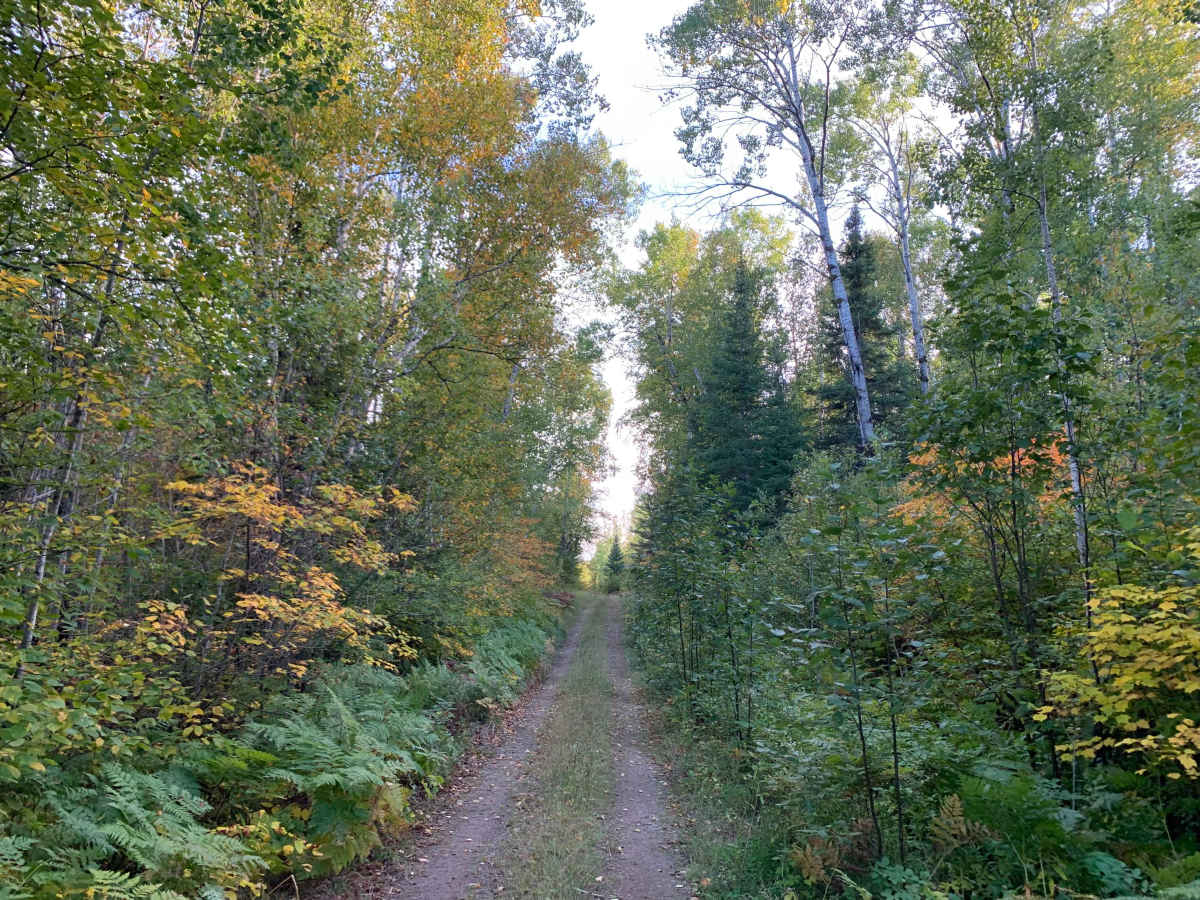
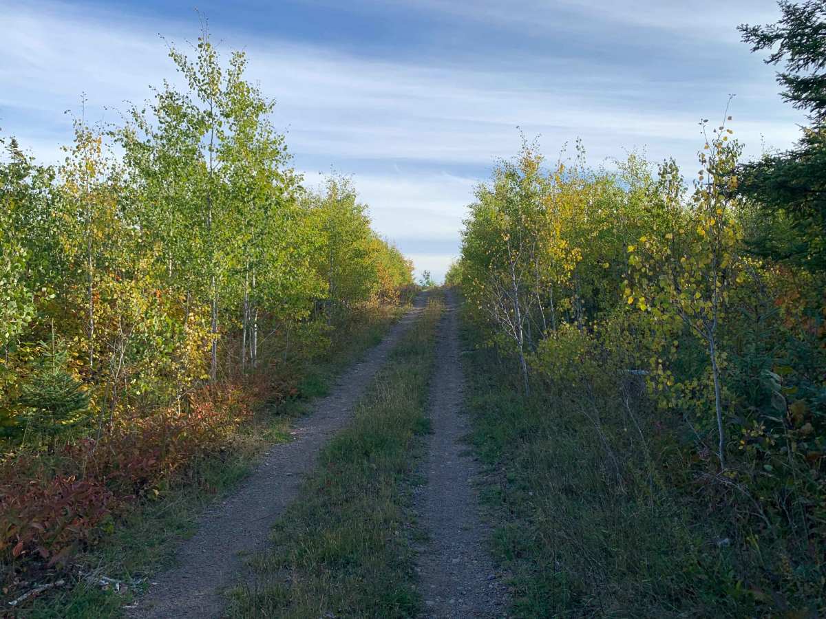
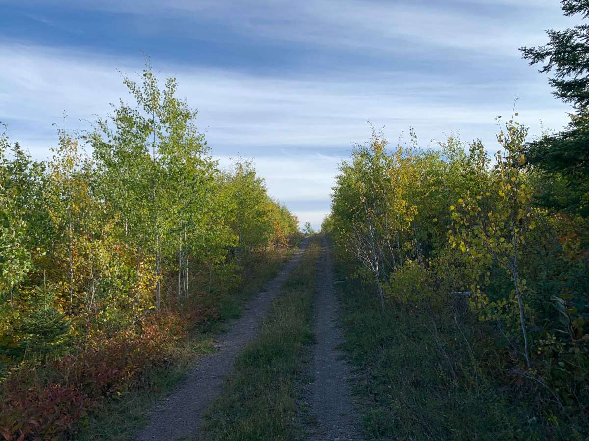
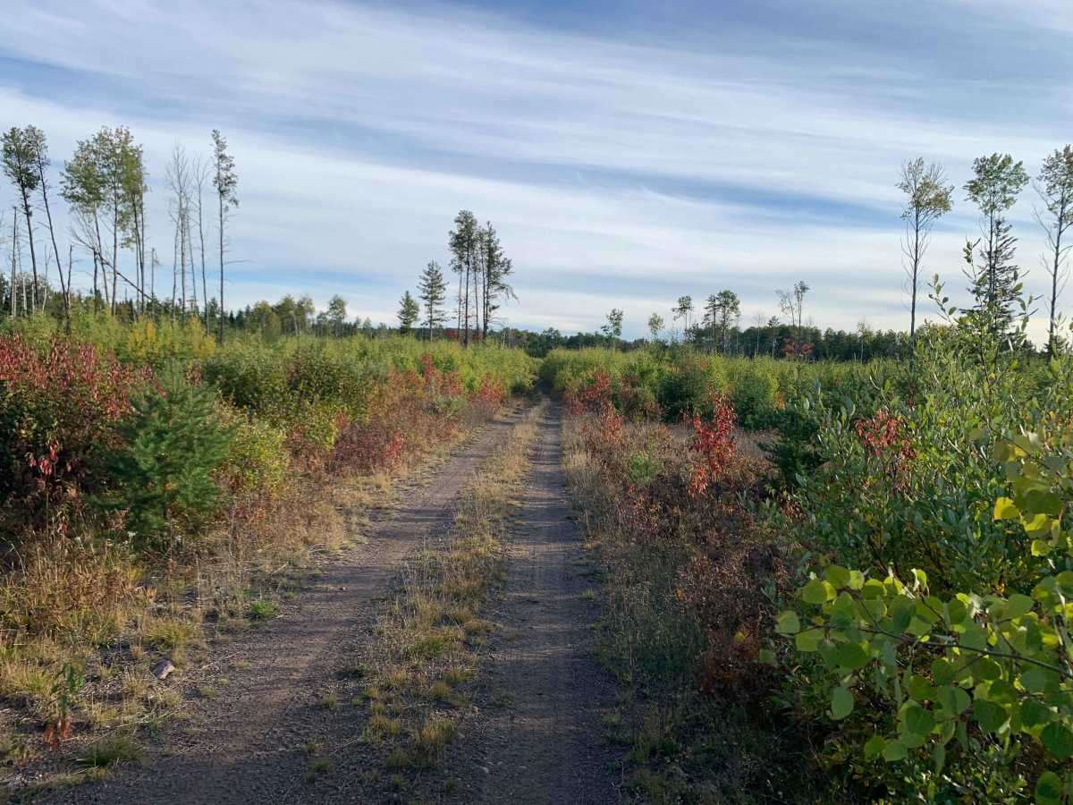
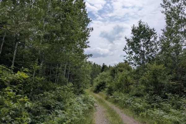
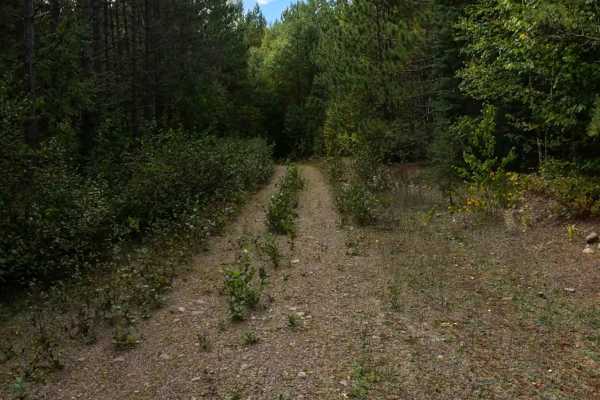
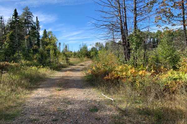
Frank Lake Trail is a short backwoods route that begins as a relatively wide dirt-and-grass two-track with embedded rocks. The trail gradually becomes more rocky and wooded, with vegetation eventually brushing the vehicle. Several exposed rocks, generally 2–5 inches, create mild undulation and occasional off-camber driving. A large downed tree approximately 12 inches in diameter requires a diversion around it. The route also passes an exposed or displaced culvert that creates a small off-camber section. A water-filled depression and shallow water crossing were encountered, with rocks forming the bottom of the crossing. The trail continues through increasingly overgrown terrain before reaching Tomlinson Creek, where field travel was stopped because the continuation became too overgrown and uncertain for the full-size vehicle. The mapped route appears to continue beyond the field-observed endpoint
Difficulty
The trail has relatively moderate terrain but includes exposed rocks, off-camber sections, a water crossing, a displaced culvert, and downed trees. Vegetation becomes tight enough to brush a full-size vehicle. The combination of hidden obstacles and increasing overgrowth warrants slower travel.
History
The route is a backwoods forest road connecting through the Frank Lake area toward Tomlinson Creek.

 Offroad