Trail Overview
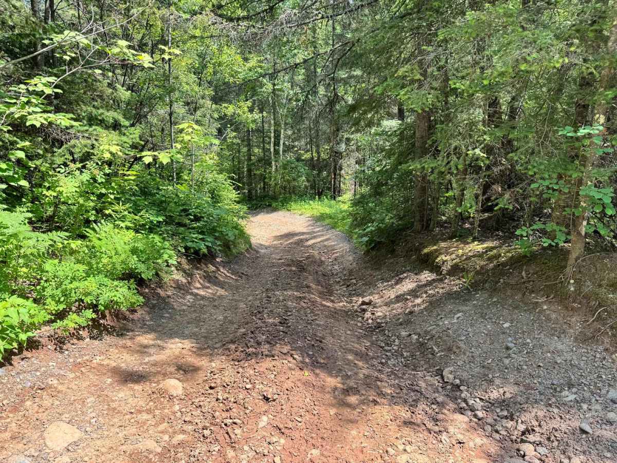
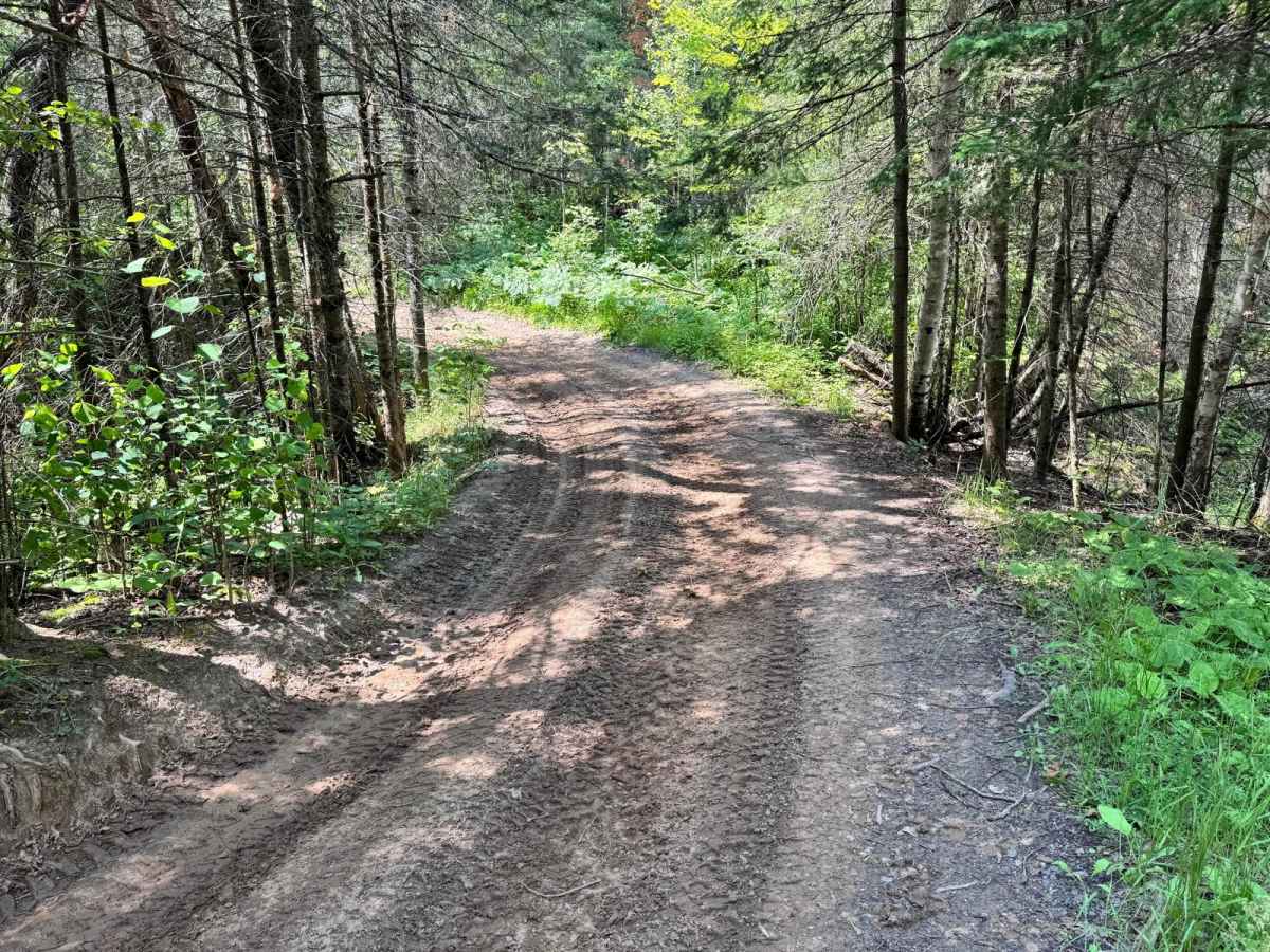
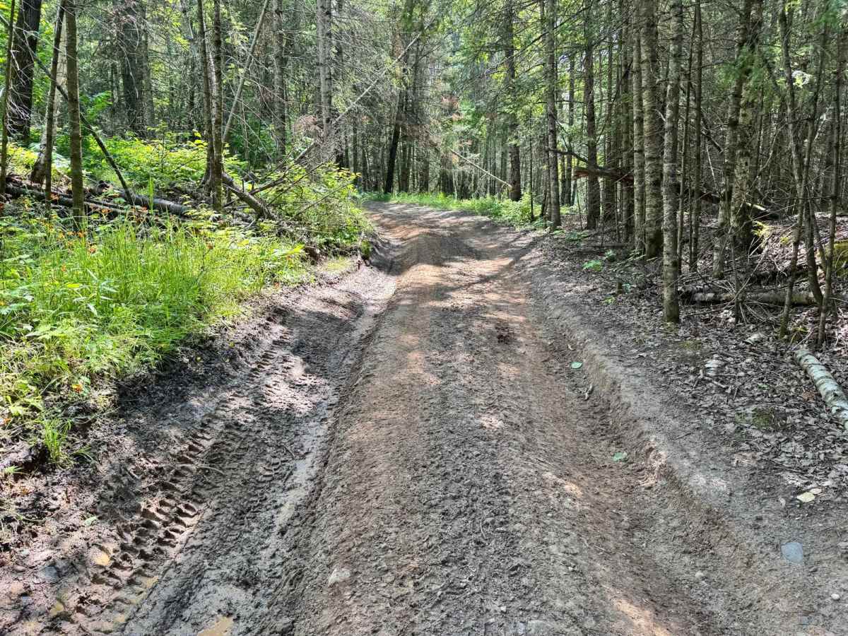
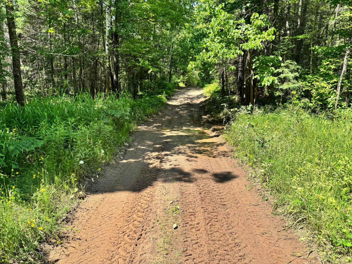
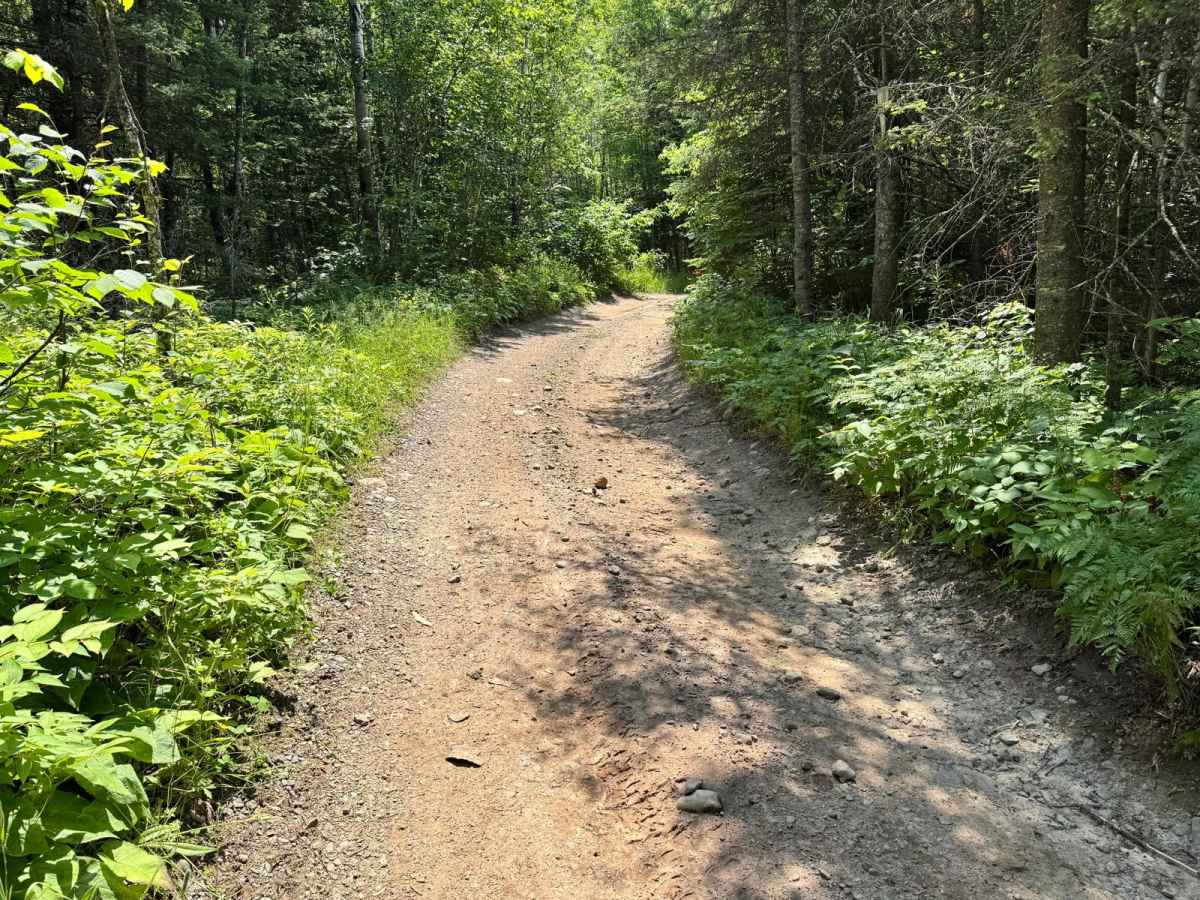
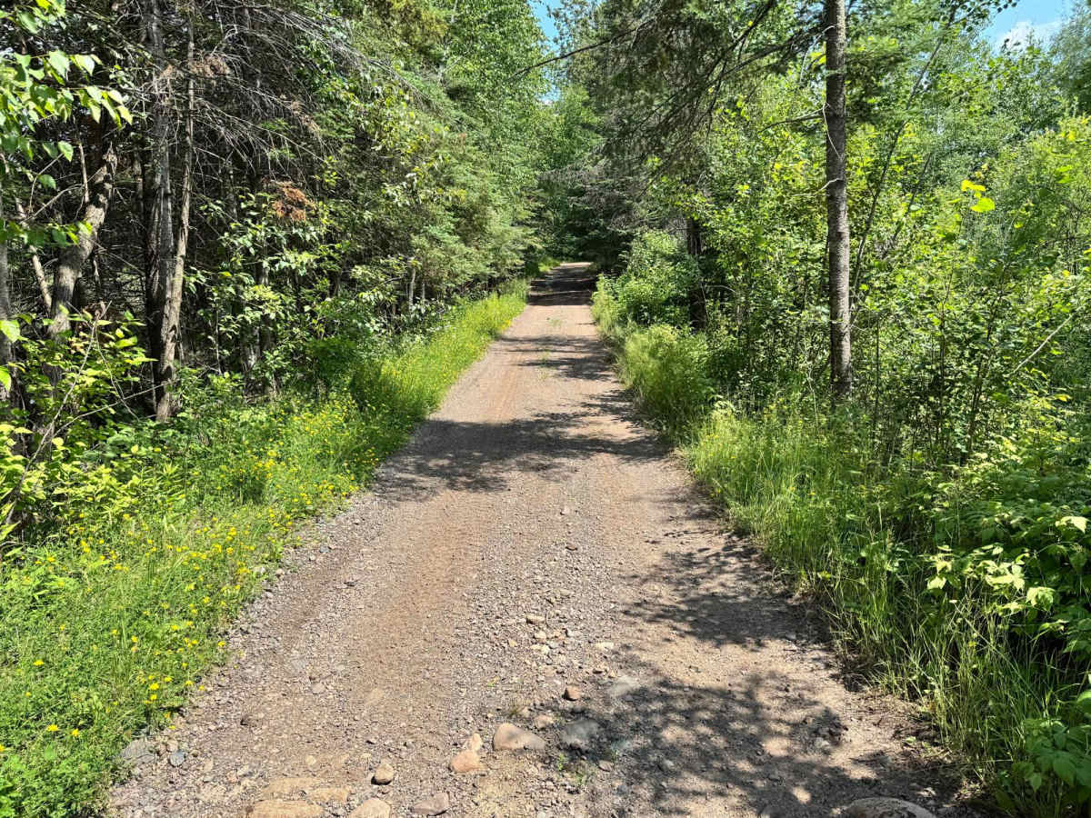
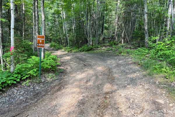
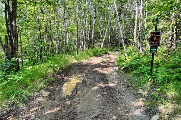
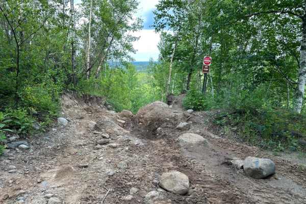
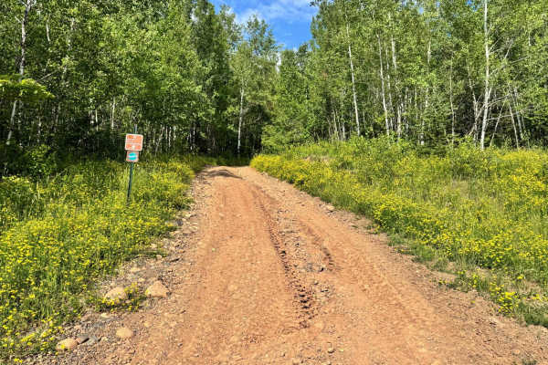
This trail winds its way through a dense wooded area, offering a peaceful and shaded ride under the tree canopy. The base is primarily dirt, and although there are a few sections with standing water, especially after recent rainfall, the ground remains fairly solid, minimizing the risk of getting stuck. The trail is narrow in spots, and overgrowth along the sides means that pinstriping is likely, especially for wider vehicles. There are no major obstacles or technical sections to worry about, making it an accessible option for most rigs. It also serves as a connector to Horseshoe Loop and several other trails in the area, making it a useful and scenic route to explore.
Difficulty
The trail has a solid dirt base with some standing water and minor overgrowth that could cause pinstriping on wider rigs. No major obstacles are present, making it a good connector to other routes like Horseshoe Loop and suitable for most vehicles.
History
The Iron Range OHV Recreation Area was built on reclaimed mining land, once part of the rich Mesabi Iron Range that fueled U.S. steel production for over a century. Today, this 1,200+ acre site blends industrial history with outdoor adventure, offering a rare chance to ride through the remnants of Minnesota's mining legacy.

 Offroad