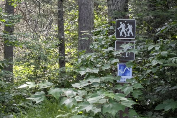
Trail Overview
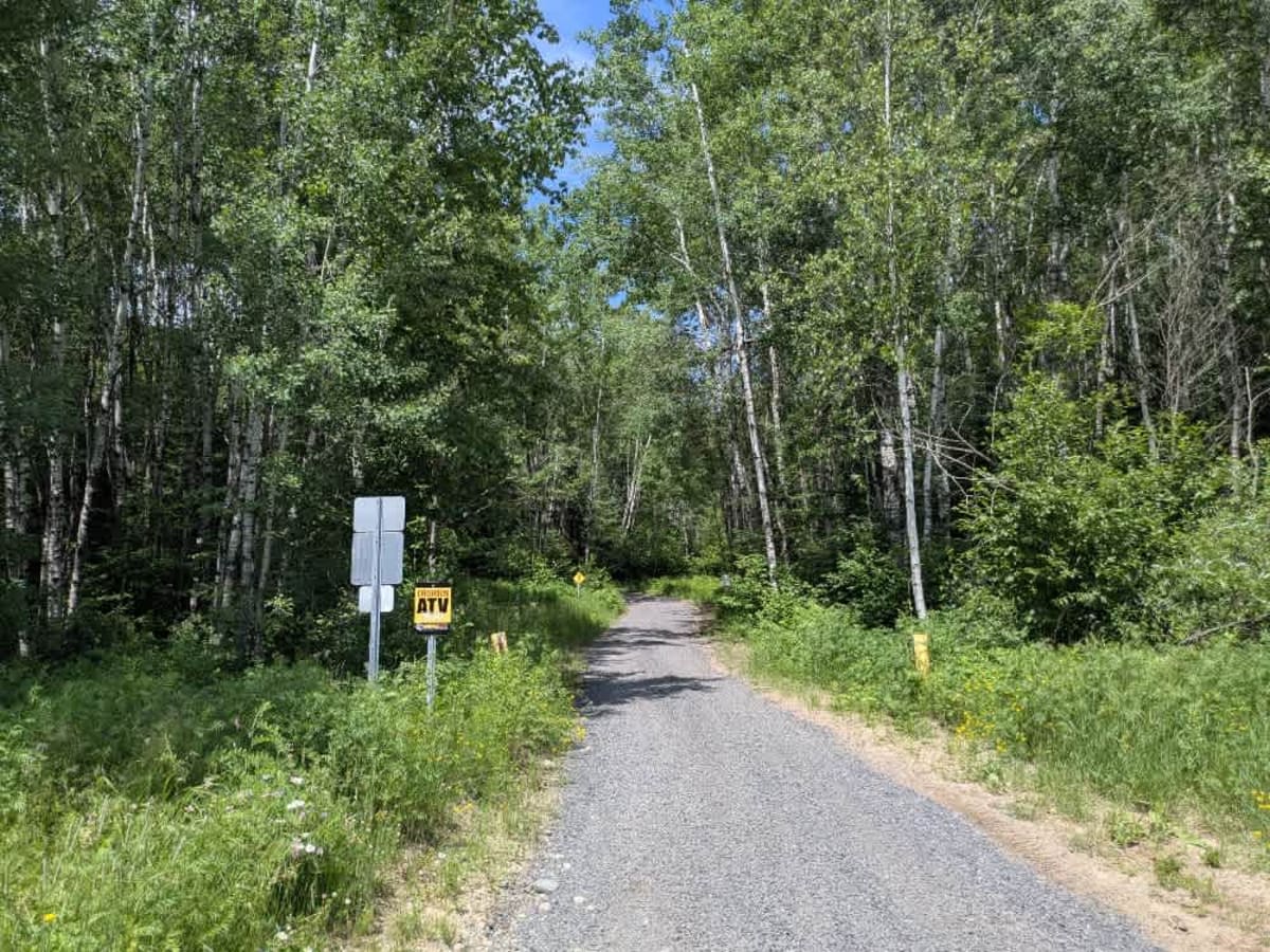
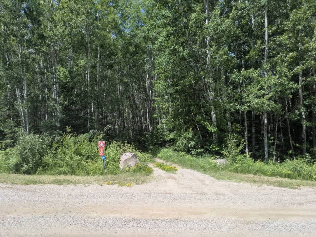
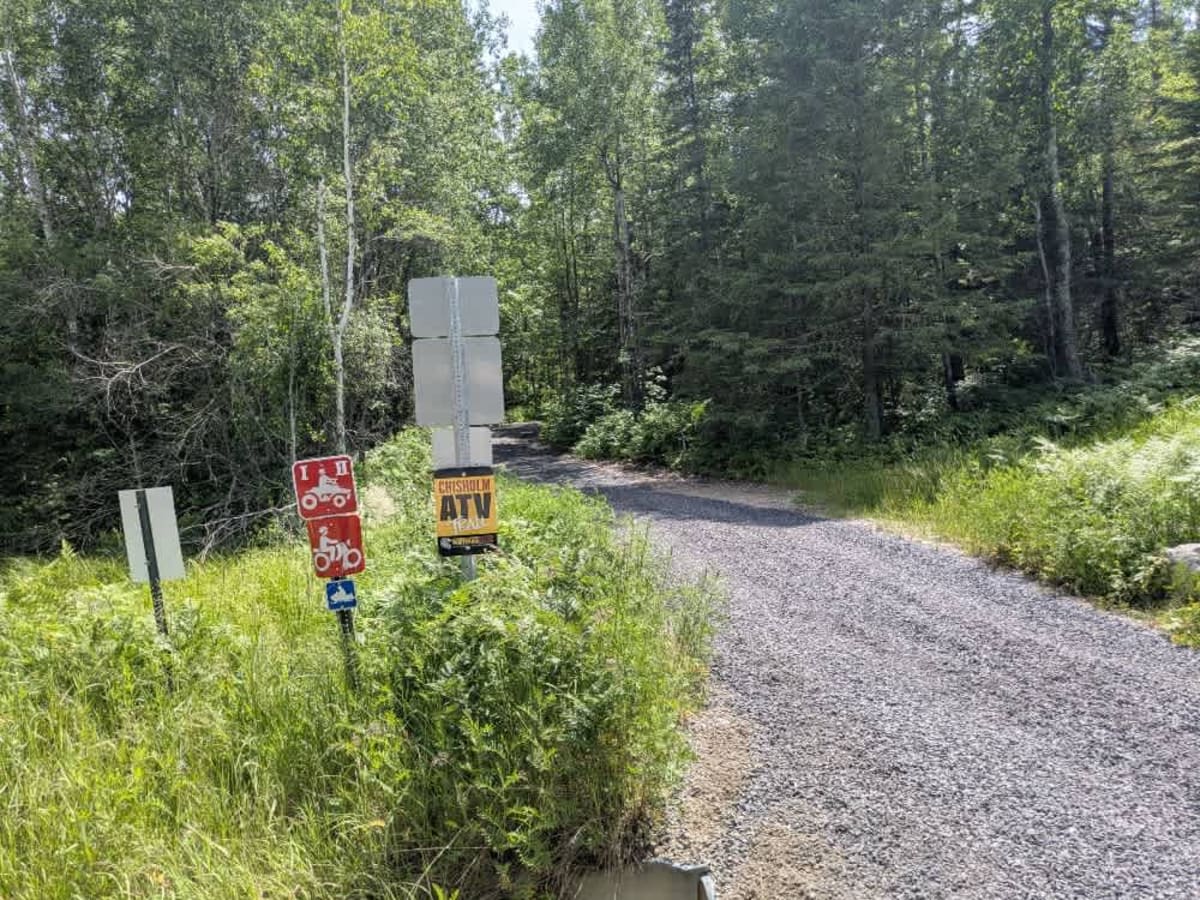
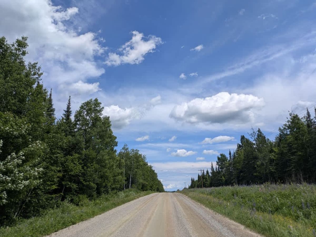
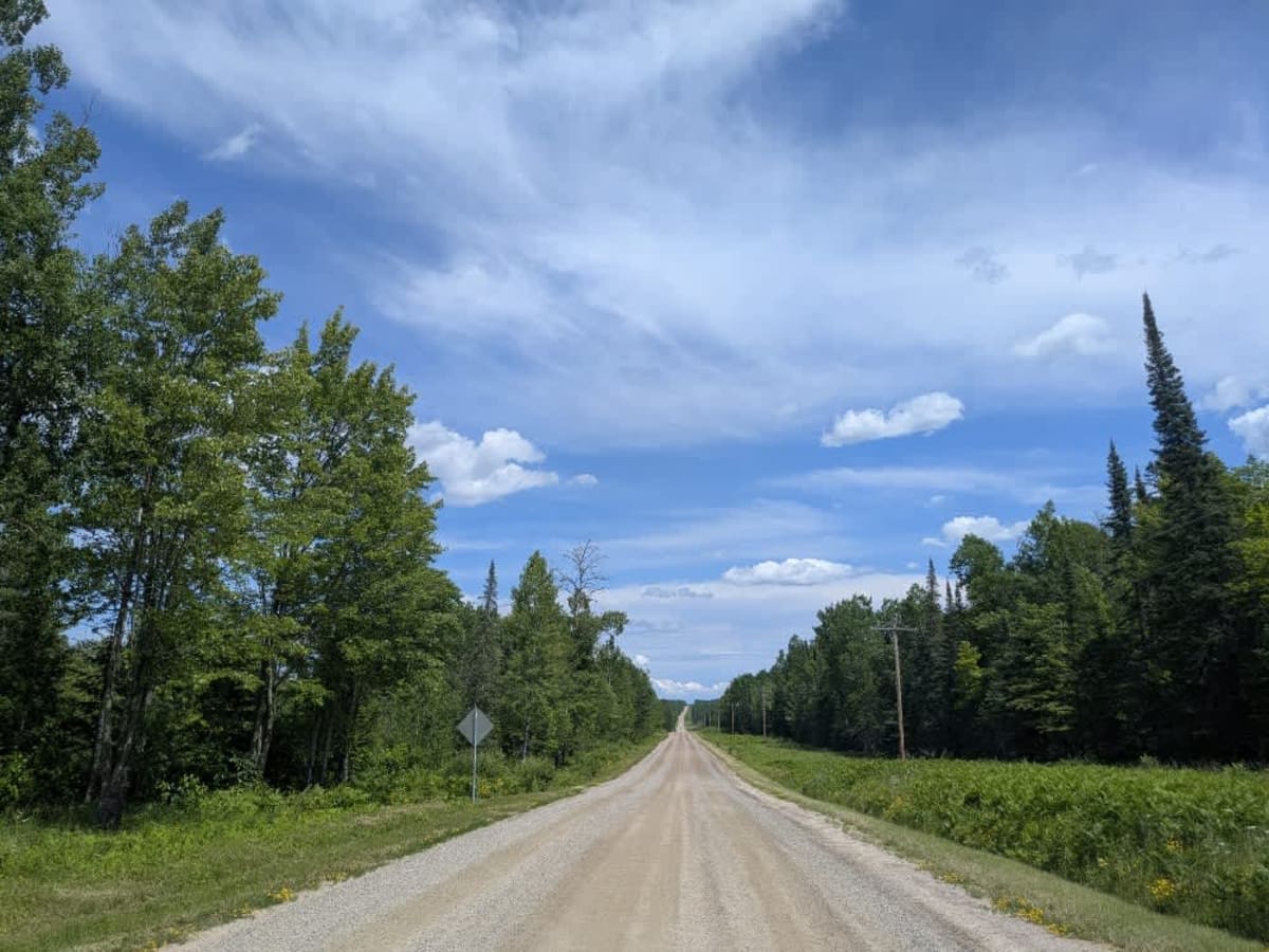
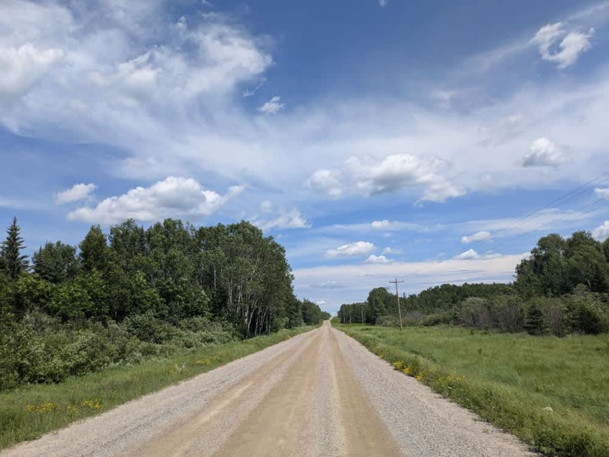
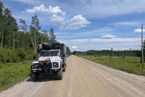
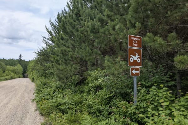
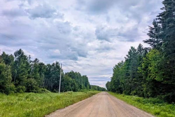
This trail consists mainly of wide, smooth, and well-graded gravel that runs between paved Highway 5 and the paved Dewey Lake Road. It is mostly straight, with a few mild ascents and descents along the way. Near its western end, close to Highway 5, the trail intersects with the Chisholm ATV trail, which is also open to snowmobiles. A single bridge spans a creek along the route, offering a clear crossing point. In June, the forest lining both sides of the trail comes alive with blooming lavender and wildflowers, adding a touch of seasonal color to the drive. While it provides a useful connection between two paved roads and intersects with recreational trails, this route does not support camping. There are no formal or dispersed campsites along the trail, and services such as water access or trash disposal are not available. Cell service may be limited or unreliable in some areas along the way.
Difficulty
This trail is well-maintained and regularly used by other OHV riders, road users, including residents in the area.
History
Superior National Forest was established in 1909 by President Theodore Roosevelt to protect the region's watersheds and natural resources after years of heavy logging and mining. The area has long been home to the Ojibwe people, who continue to maintain cultural ties to the land. In 1978, the Boundary Waters Canoe Area Wilderness within the forest was given added protection, making it one of the most visited wilderness areas in the U.S. today.