Trail Overview
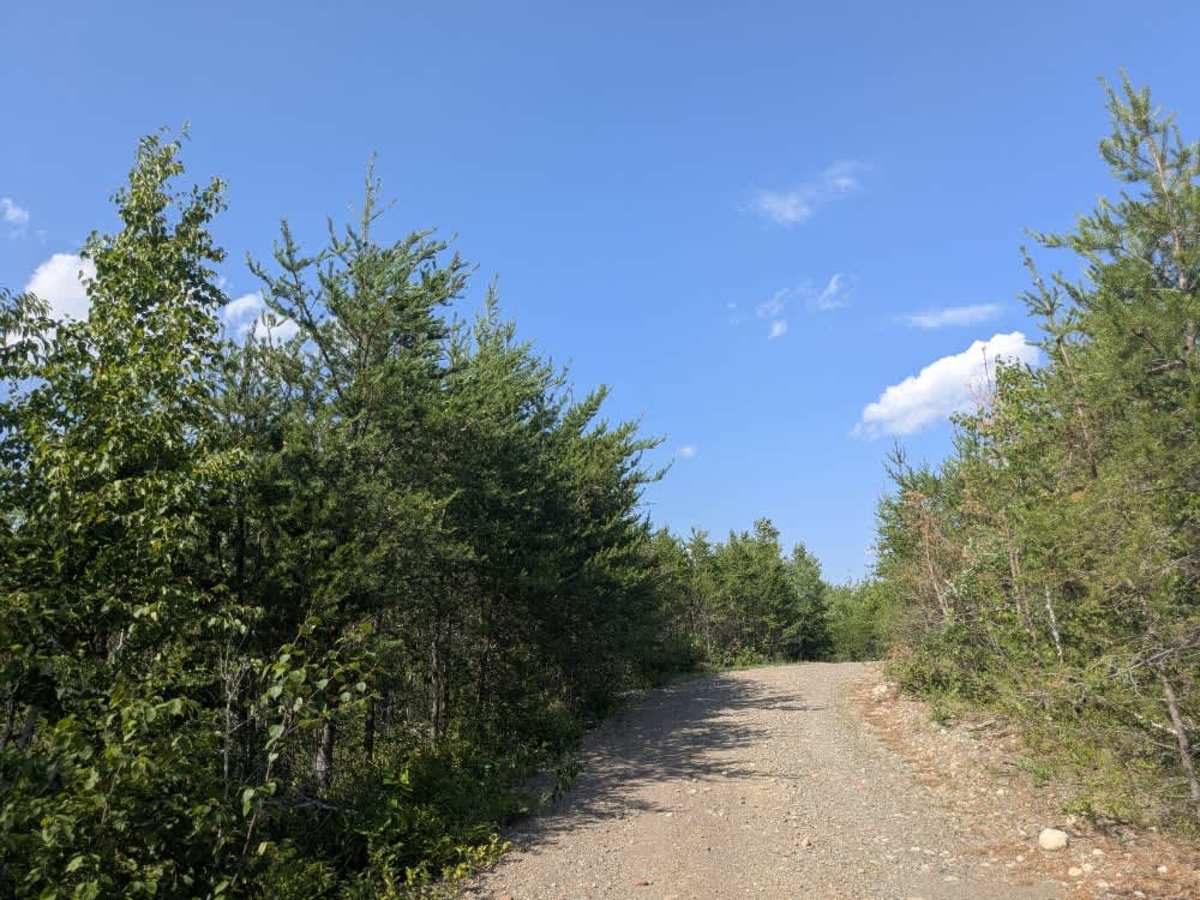
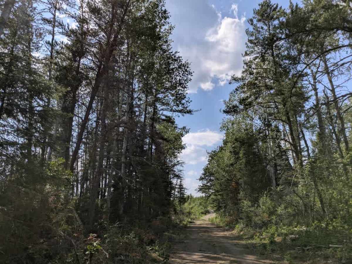
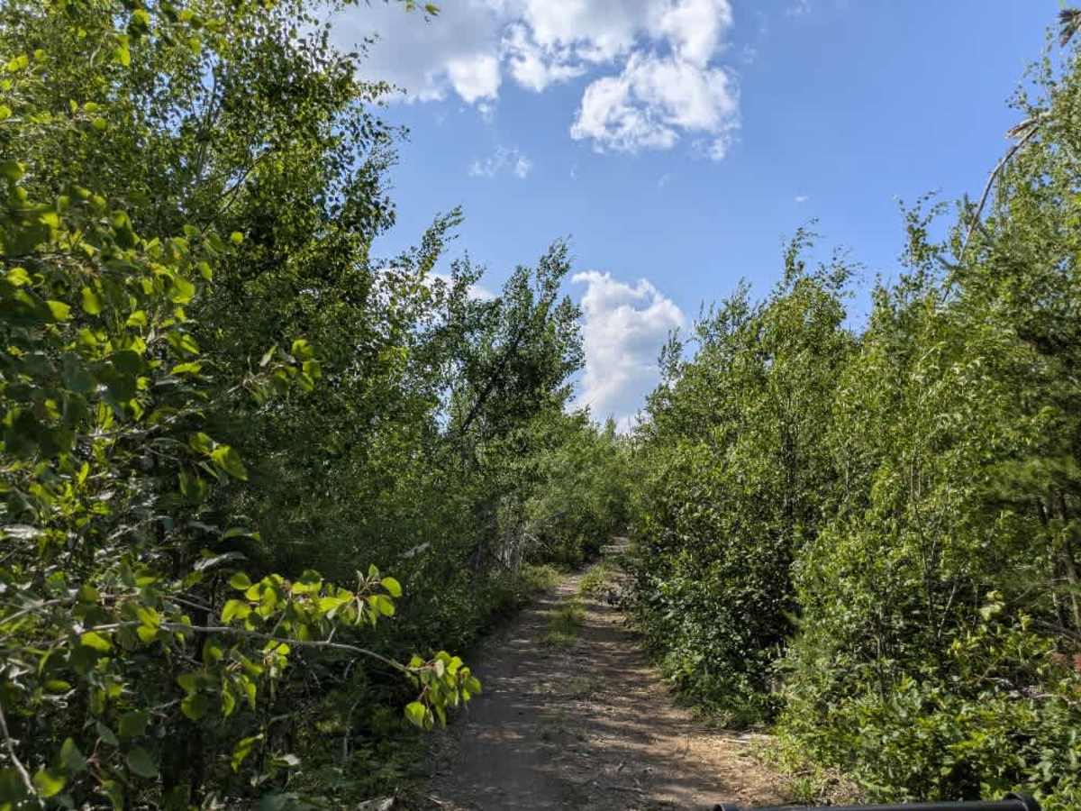
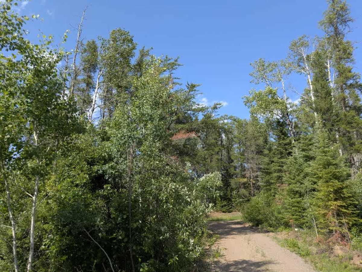
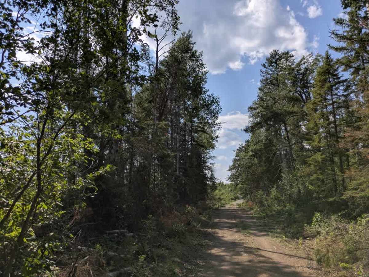
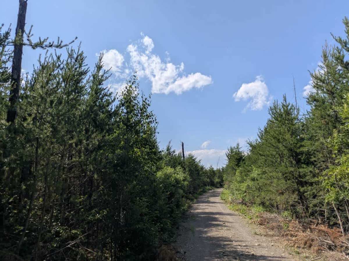
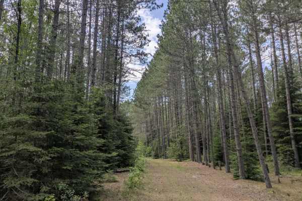
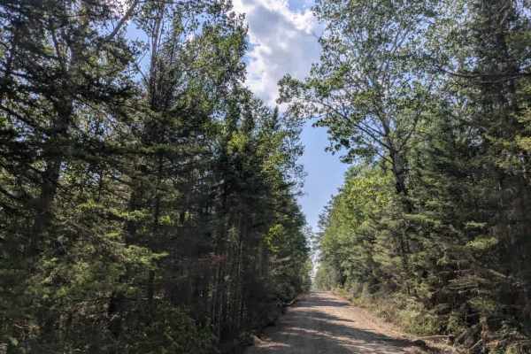
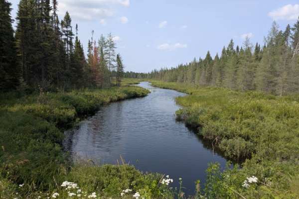
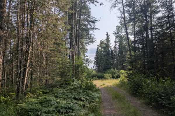
Comfort Creek Trail branches off from Trail 356 and offers a narrow, unmaintained route through regrowing forest. The surface is a mix of fine gravel and exposed rock, and the trail is bumpy with frequent twists and turns. Vegetation crowds the trail on both sides, making pinstriping all but inevitable for wider vehicles. The surrounding forest shows signs of previous logging activity, and much of the growth along the trail consists of young trees and low underbrush. The route includes some modest ascents and descents and becomes increasingly overgrown as you progress, but it remains a quiet and worthwhile detour for those equipped for narrow trails. At the beginning of the route, there is a small dispersed camping area with a basic fire ring, and another similar spot can be found at the trail’s end near the lake. This final clearing includes a gravel parking area and provides direct lake access, making it a peaceful place to picnic for those seeking a more remote experience. There are no formal campsites or developed facilities on the Comfort Creek Trail. Campers will not find restrooms, drinking water, or trash services, and cell reception is likely to be poor or nonexistent.
Difficulty
This forested route is lightly maintained and typically sees use during peak seasons. Expect occasional fallen limbs, narrowing sections from plant growth, and minor obstacles.