Trail Overview
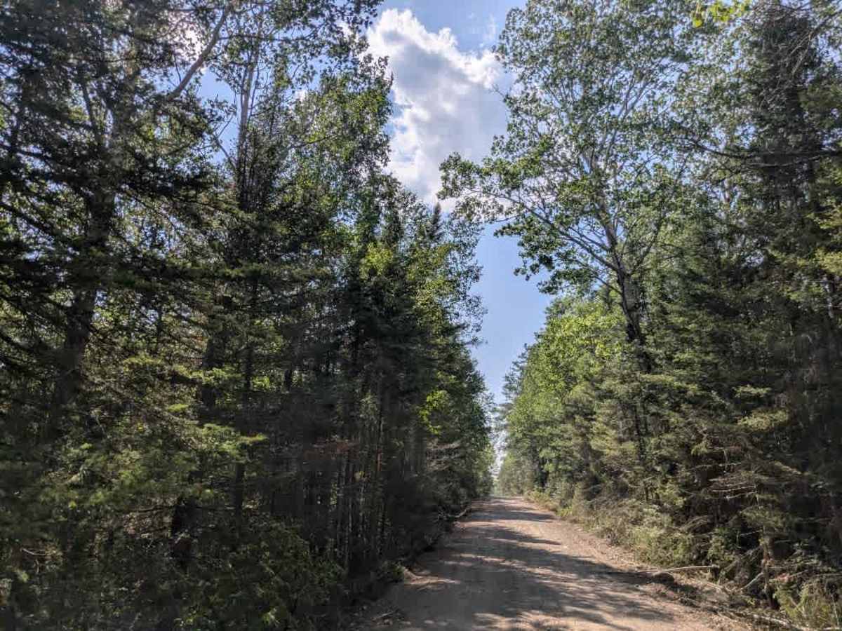
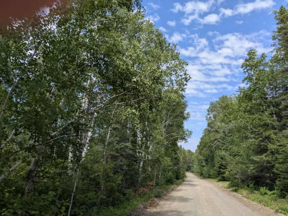
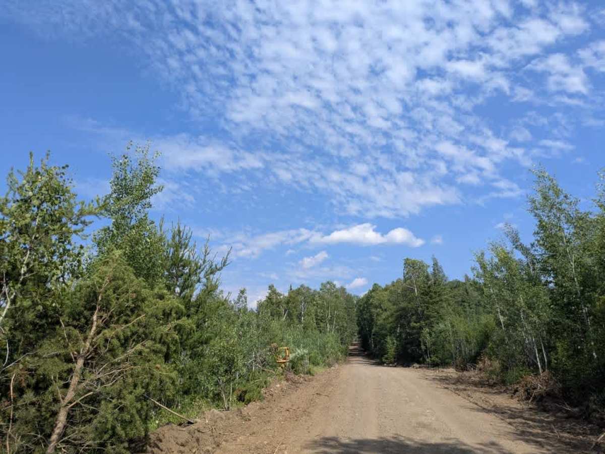
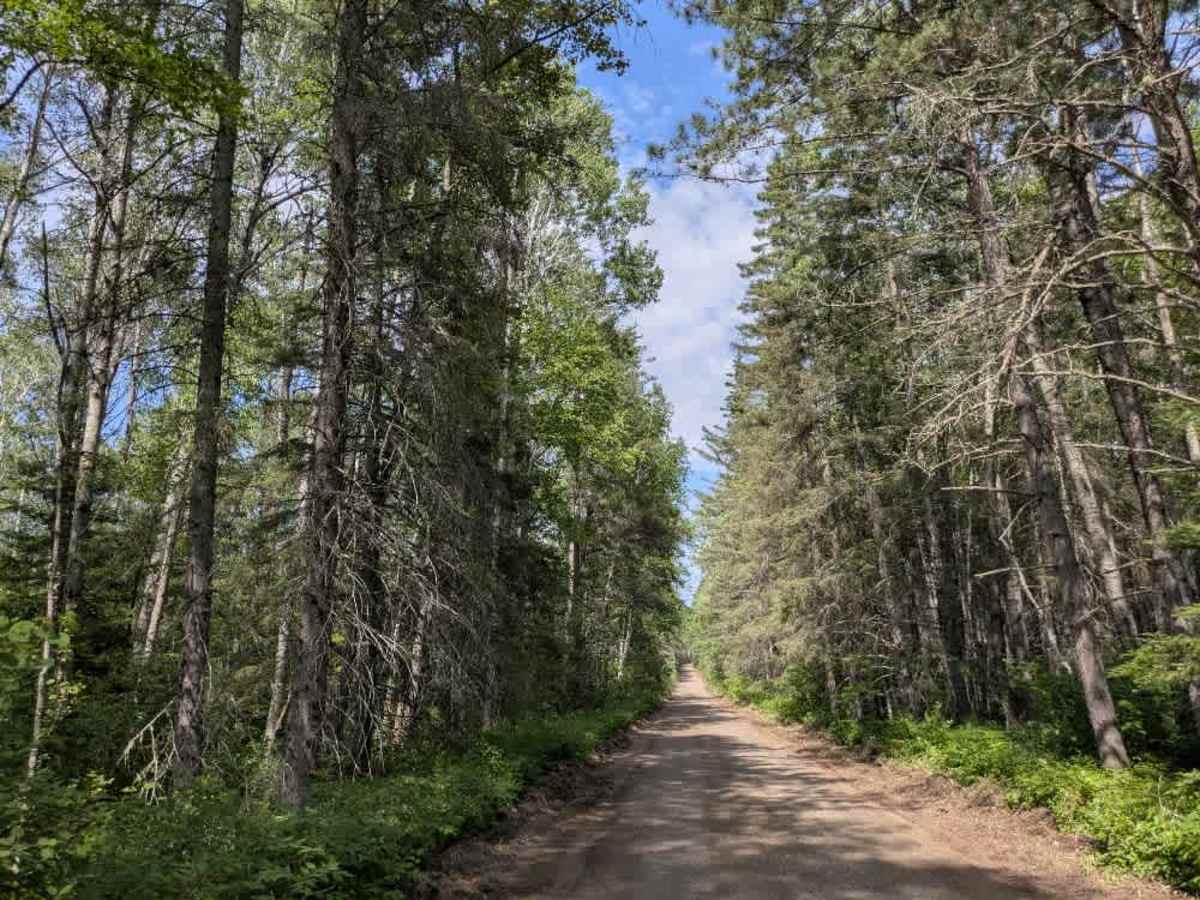
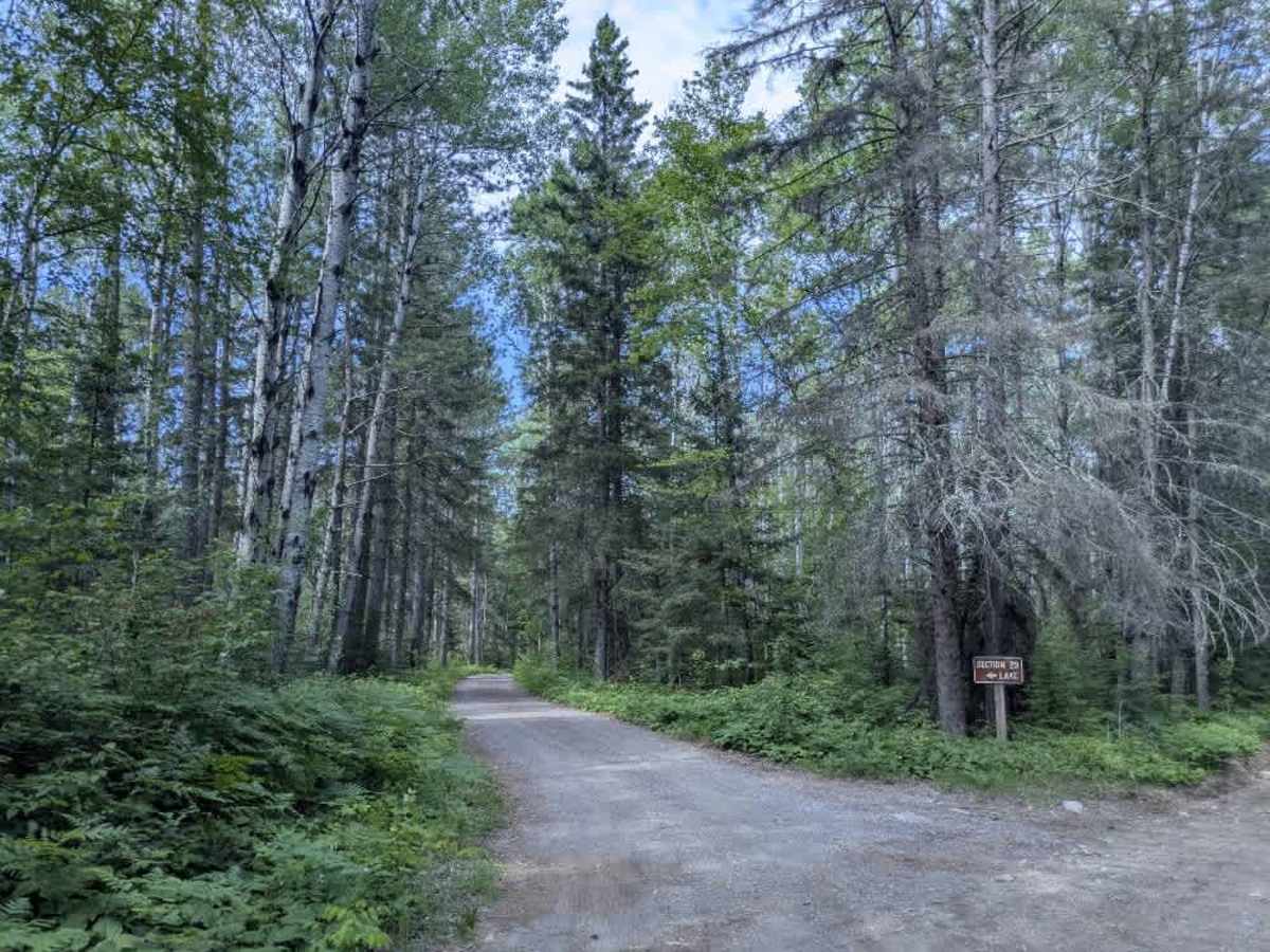
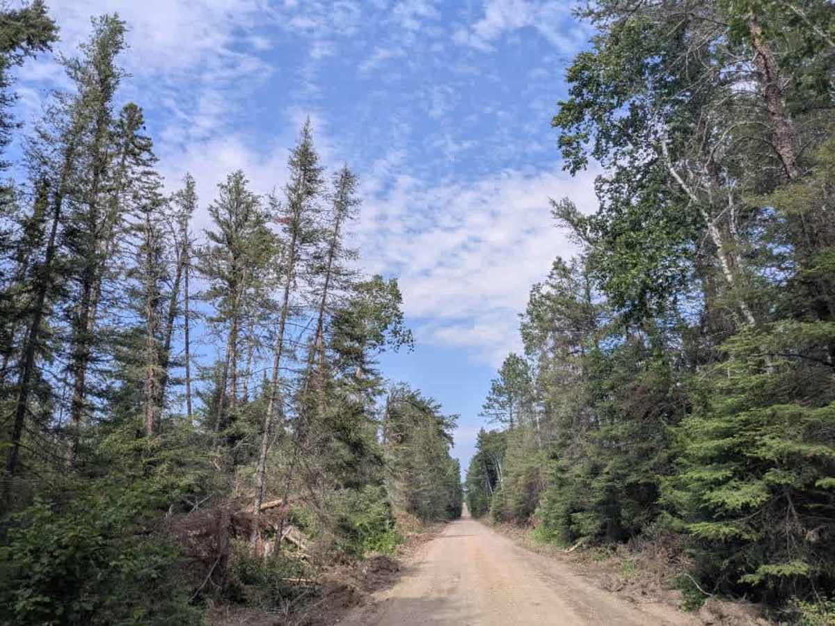
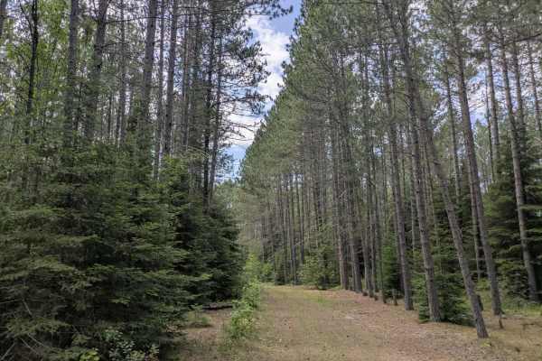
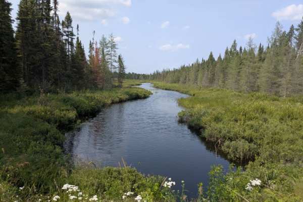
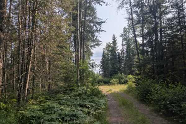
Trail 356 is a long, dusty logging road that cuts through active harvest zones in Superior National Forest. The route sees frequent industrial traffic, and drivers should proceed with caution, especially when approaching blind corners or machinery. The trail begins relatively smooth but becomes rougher the farther you go, with deep patches of sand and loose gravel in some areas that can cause a vehicle to shift or pull unexpectedly. Although mostly straight, the road gently winds through a forested landscape that shows increasing signs of logging the deeper you travel. The surface is often corrugated and bumpy, particularly where heavy trucks have passed through. A highlight along the route is a bridge that crosses a scenic river. Not far from the trail’s start, there is a small, rustic campground located beside a quiet lake. This simple site includes a few picnic tables, fire rings, and a vault toilet, but no electricity or running water. It offers just a handful of campsites and is best suited for short stays in self-contained setups. The end of Trail 356 opens into a large clearing used for timber processing, with several pieces of machinery often stationed there. From this point, an ATV trail leads further toward a nearby lake, though access for full-size vehicles is restricted. A few other trails branch off along the route, but most are either gated, repurposed for logging, or otherwise closed to public traffic. Beyond the small campground, the trail offers no additional amenities. Travelers should not expect access to potable water, trash disposal, or consistent cell service.
Difficulty
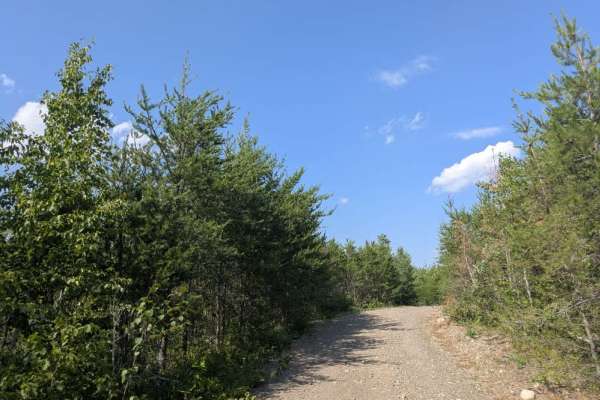
The trail is maintained but can develop light overgrowth between trims, especially in the summer months. Commonly used by local OHV traffic, the path remains visible and passable, though branches and low brush may occasionally encroach.