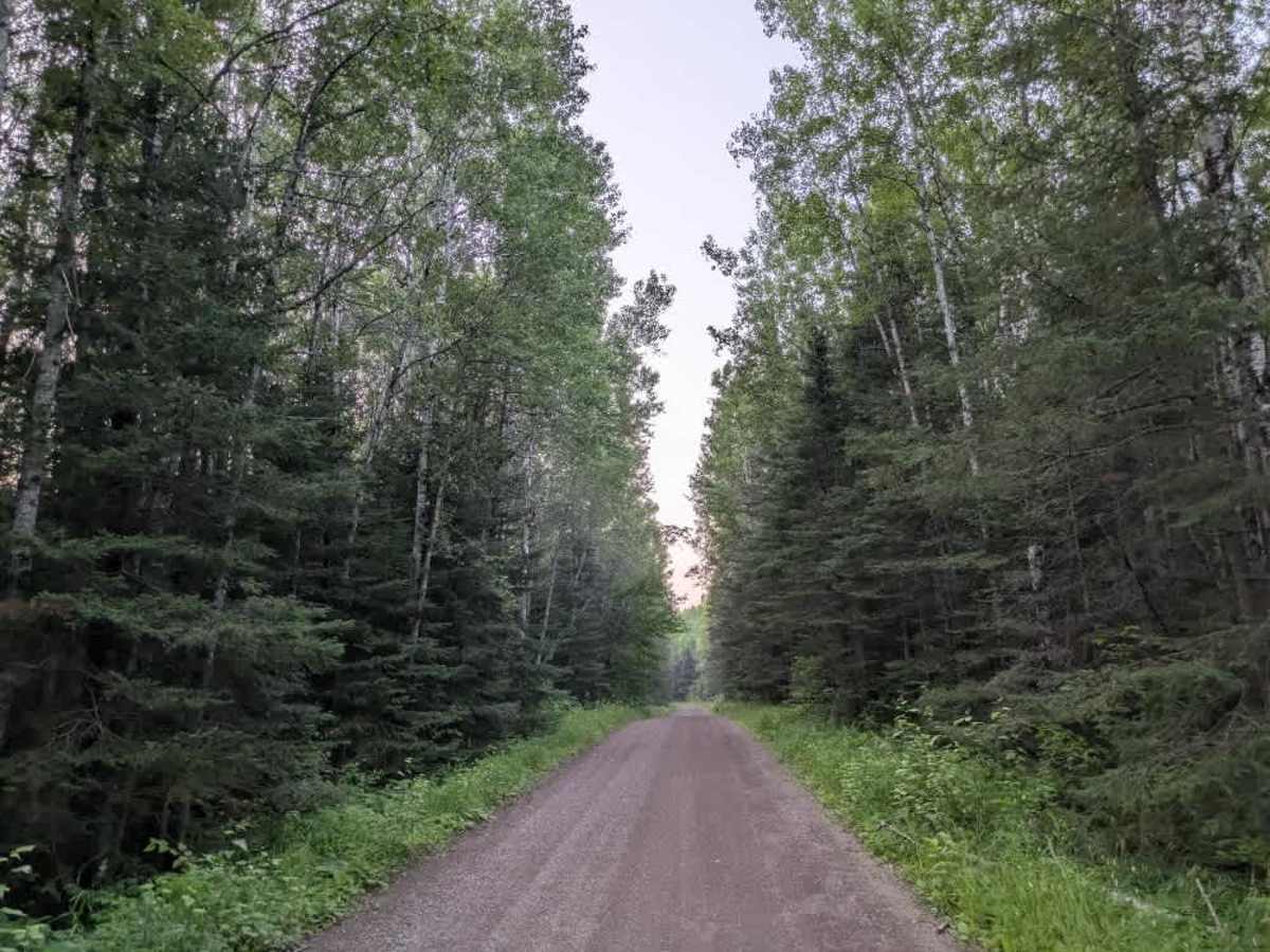
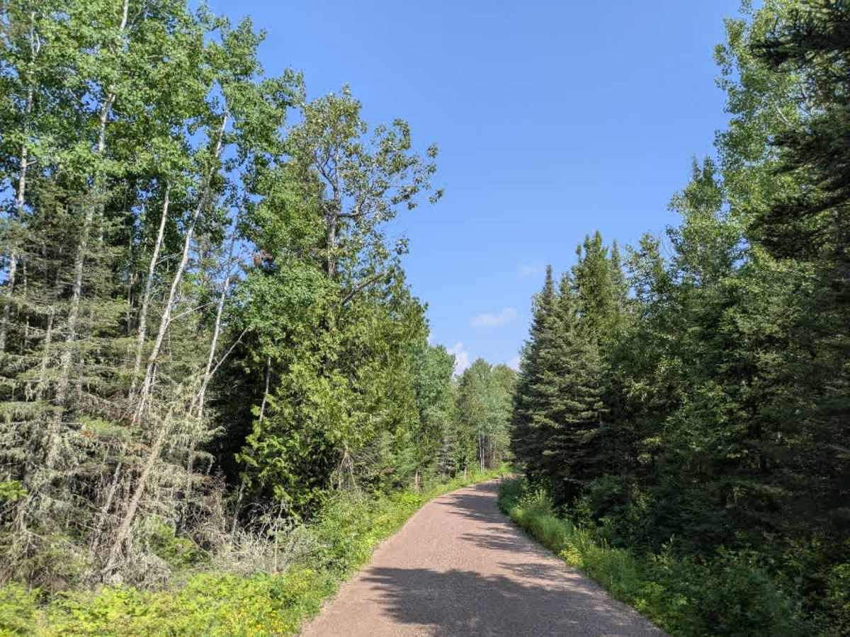
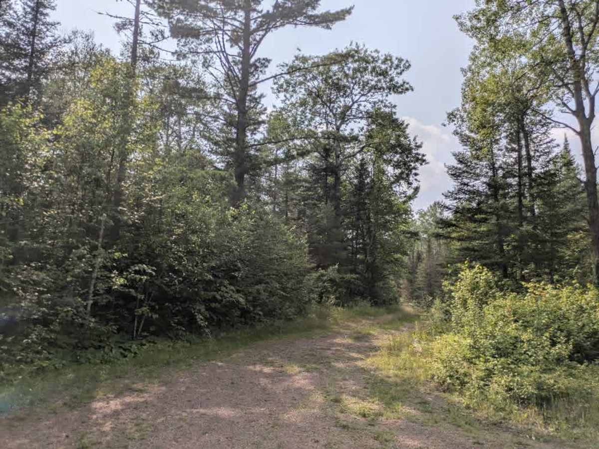
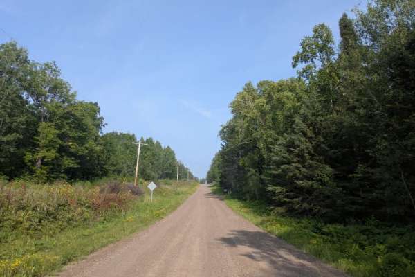
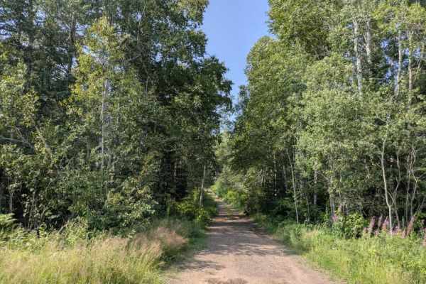
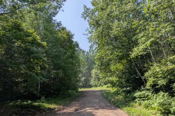
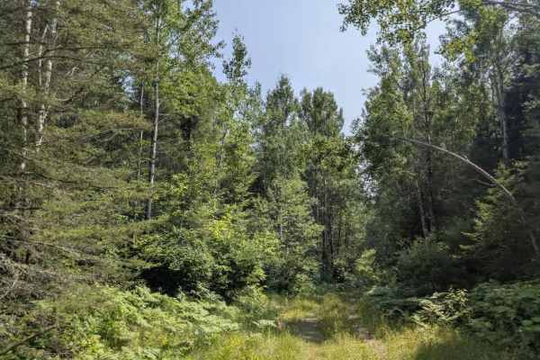
Trail Overview
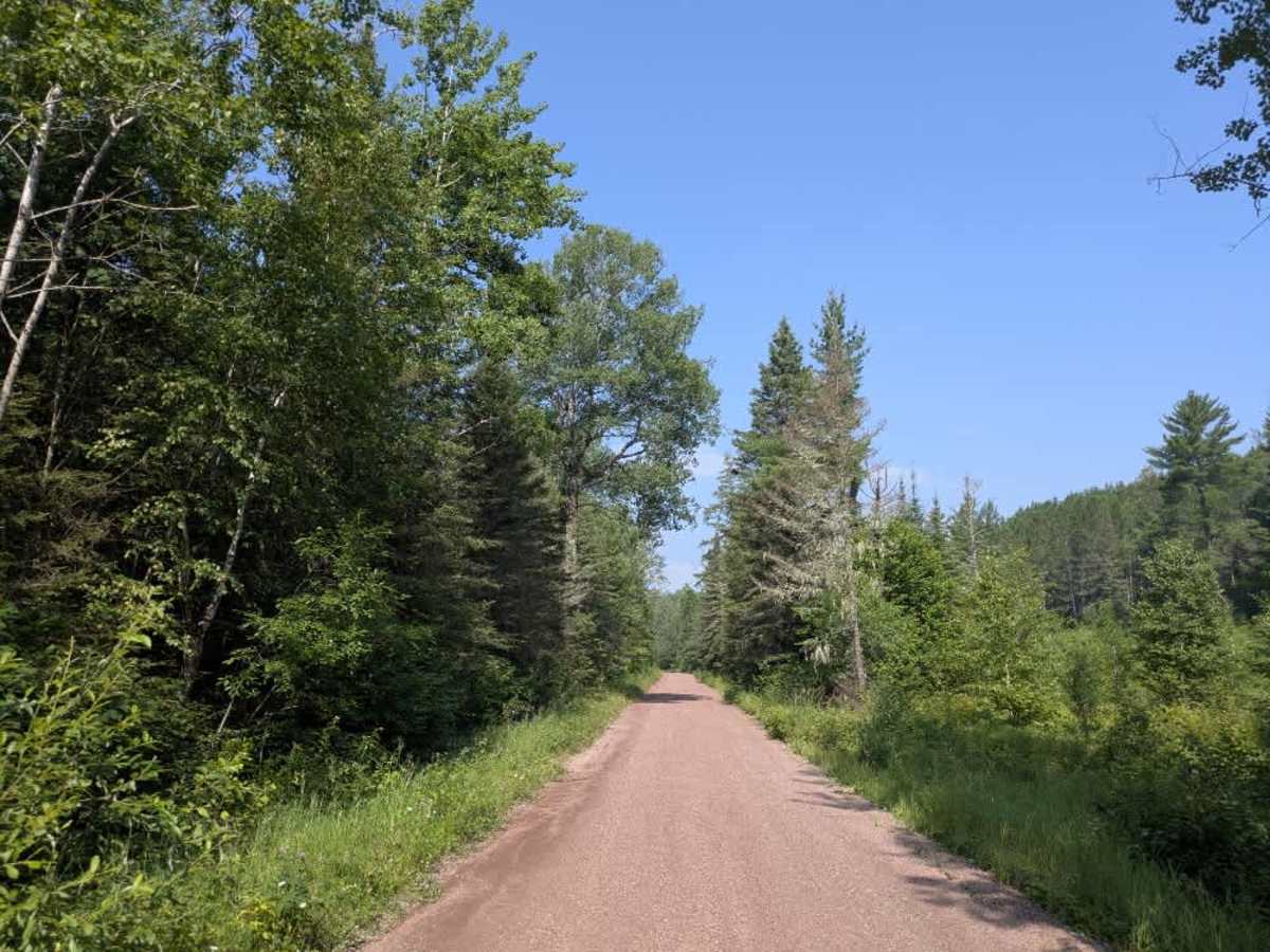
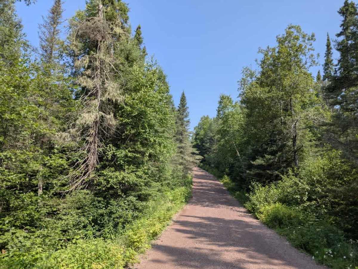
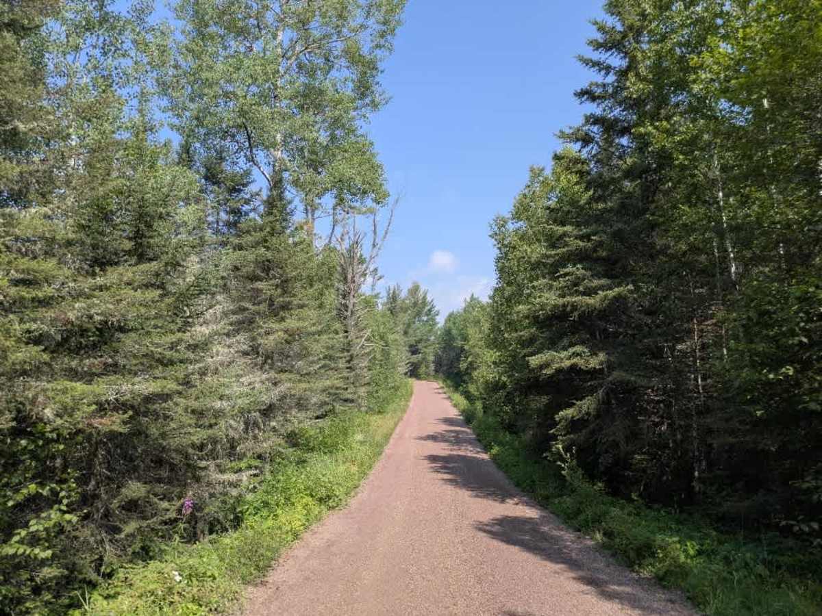
The Bally Creek trail is accessed from Highway 7 via a steep but well-maintained gravel climb that quickly gains elevation before leveling out. Once on top, the route travels through dense forest with gentle rolling ascents and descents. Early in the trail, a few residences are visible, and several side trails branch off, though most of these are non-motorized hiking or ski trails. As the trail continues, it becomes more rugged, with steeper ups and downs as it weaves deeper into the woods. Near the end of the route is a small, established campground featuring four campsites, a basic but well-used toilet, and close proximity to a water source popular for trout fishing. Beyond the campground, the trail continues to climb and descend steeply as it approaches The Grade trail. Several small offshoots and clearings appear along this final section before reaching the Eagle Mountain trailhead. Amenities are minimal—there is no trash disposal or potable water, and cell service may be unreliable.
Difficulty
This is a well-maintained, non-technical trail that is suitable for most vehicles. Sections of this trail are only accessible by highway vehicles, and seasonal closures between 12/01 and 31/03 are applicable.