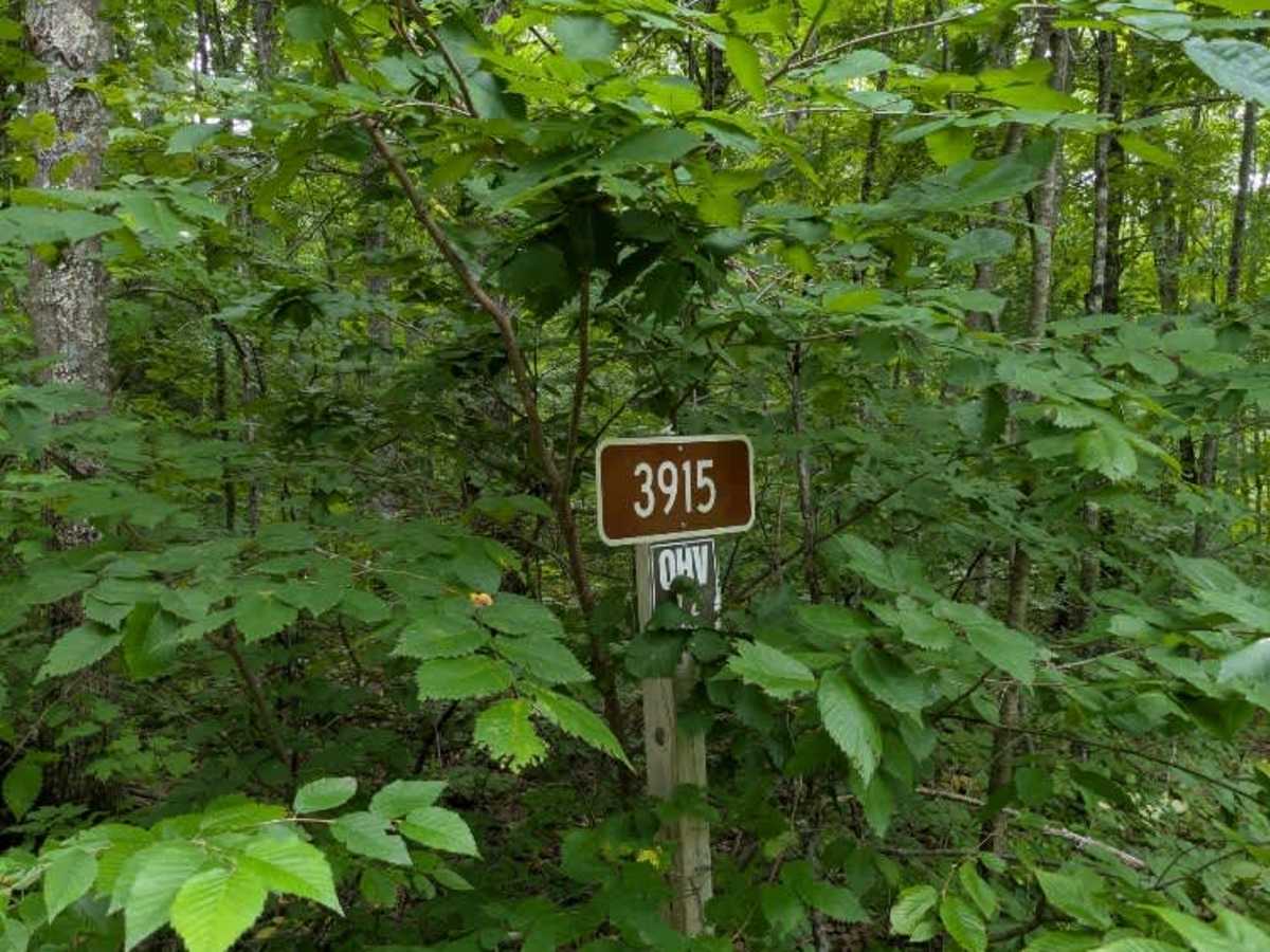
3915

Total Miles1.2
Technical Rating
1Easy
Best TimeSpring, Summer, Fall, Winter
Trail TypeFull-Width Road
Accessible By
Open Trail Map

Trail Overview

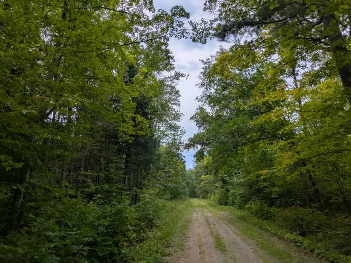
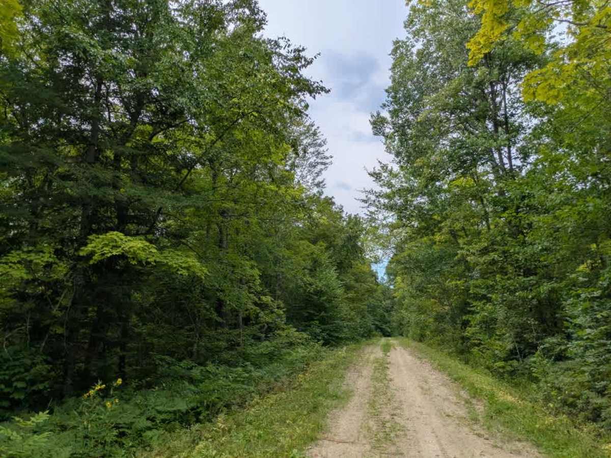
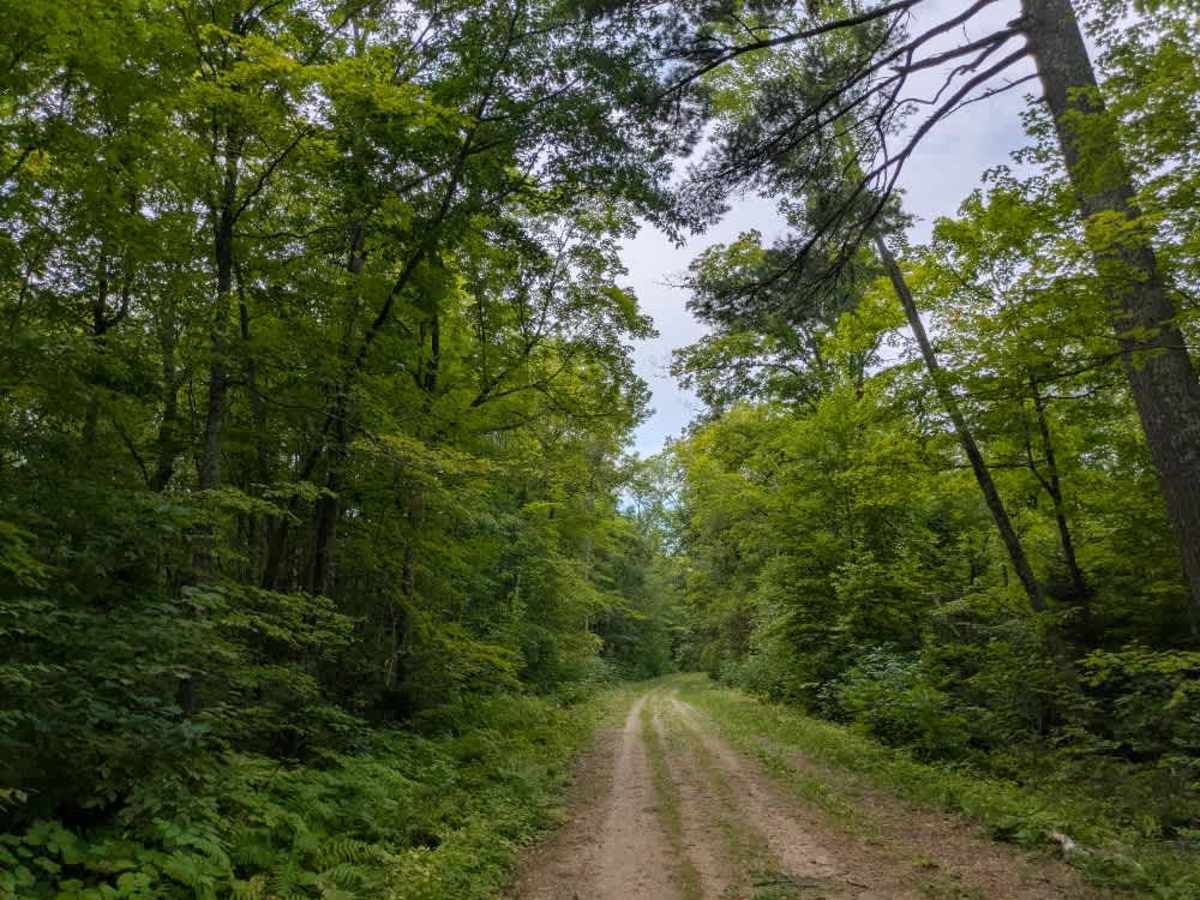
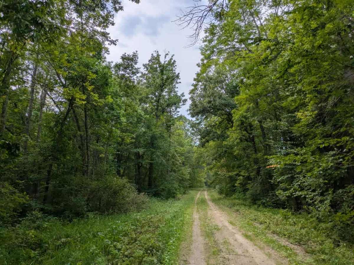
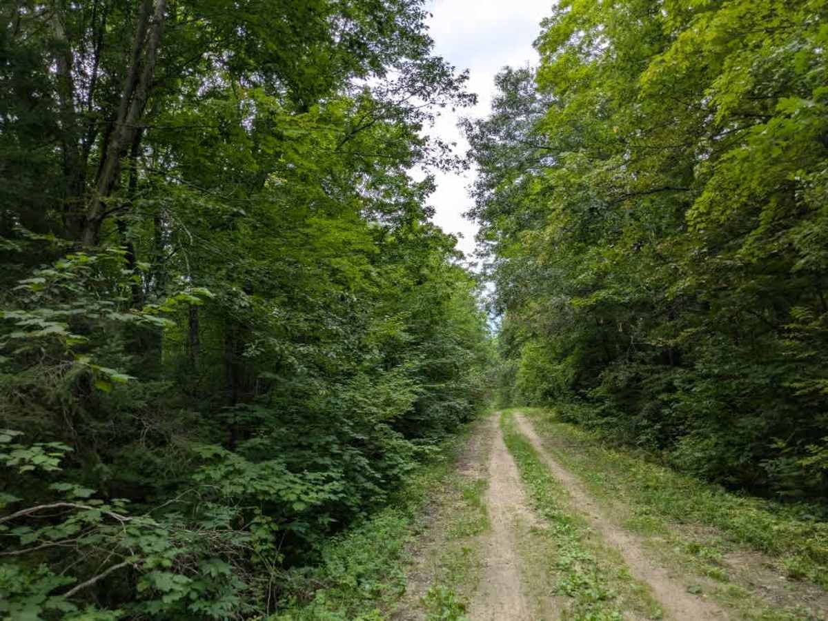
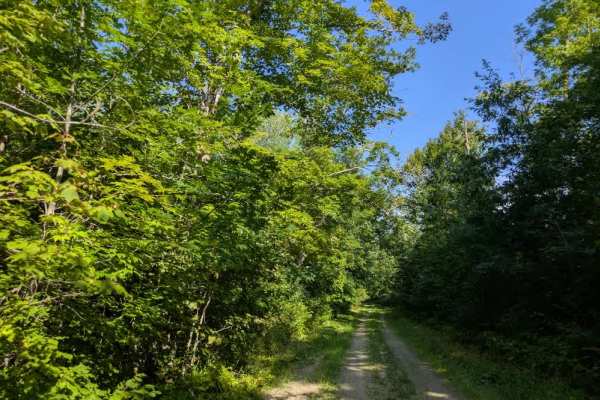
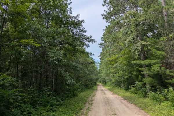
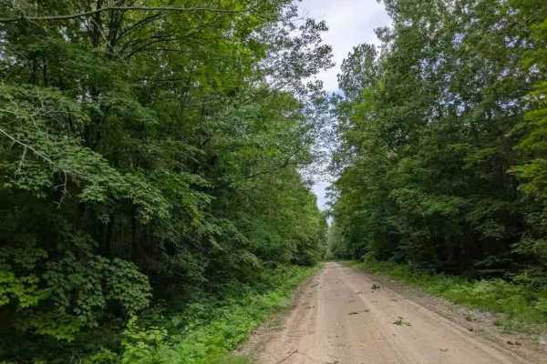
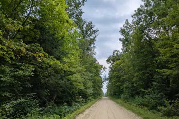
This trail begins as a mostly straight two-track route that alternates between grassy and sandy surfaces. It is narrow in places, generally only wide enough for a single vehicle, and features a mix of gentle ascents and descents as it winds through a scenic forest. The surroundings are dominated by maple and spruce, which provide a consistent canopy along the way, creating a quiet, sheltered atmosphere. No side trails branch off the main route, making travel straightforward from start to finish. The trail concludes at a T-junction. Taking the left turn leads to a completely overgrown path that is not suitable for vehicles, while turning right brings you to a stop sign where the route continues as a two-track gravel OHV trail. This trail does not offer dispersed or formal camping areas and lacks amenities such as water access and trash disposal. Cell service may be unreliable in some sections.

Photos of 3915

Difficulty

This forested route is lightly maintained and typically sees use during peak seasons. Expect occasional fallen limbs, narrowing sections from plant growth, and minor obstacles.

Technical Rating

1

3915 Trail can be accessed by the following ride types:

  • Single Track
  • 50 Inch
  • 60 Inch
  • High Clearance
  • Full Width

3915 Map

The onX Offroad Difference

onX Offroad combines trail photos, descriptions, difficulty ratings, width restrictions, seasonality, and more in a user-friendly interface. Available on all devices, with offline access and full compatibility with CarPlay and Android Auto. Discover what you're missing today!

Open Trail Map