Trail Overview
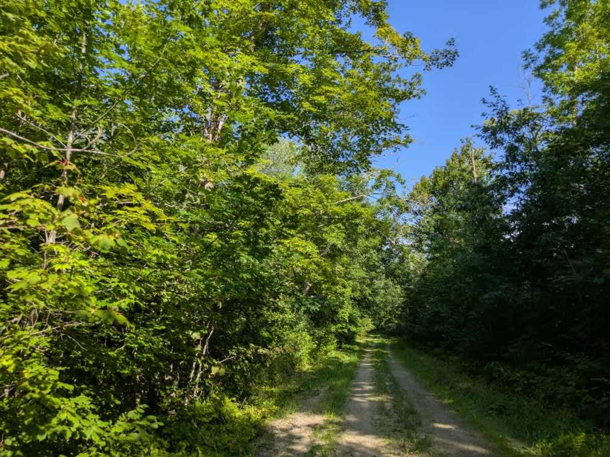
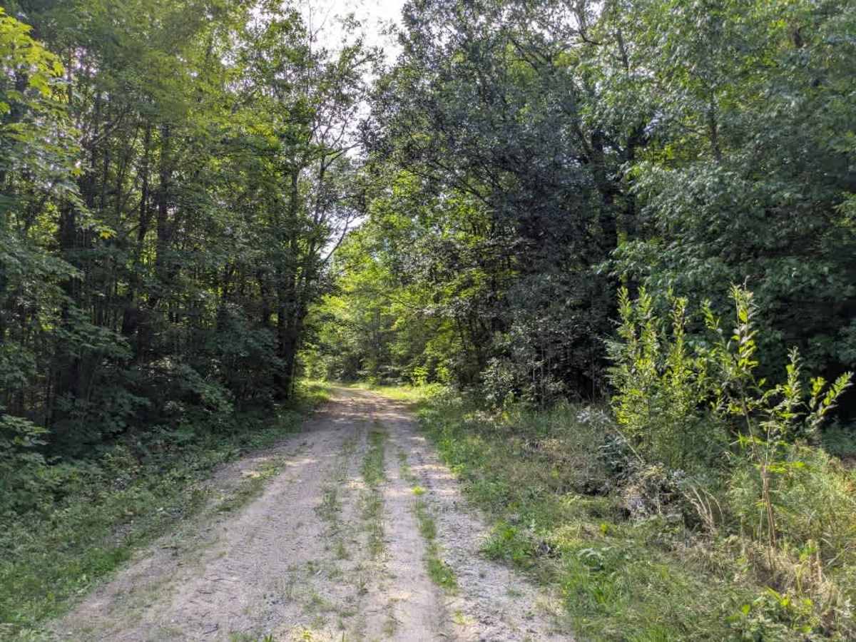
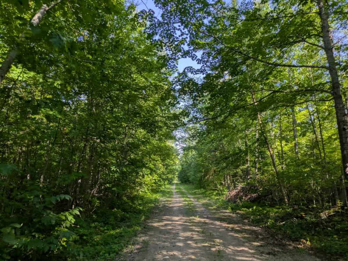
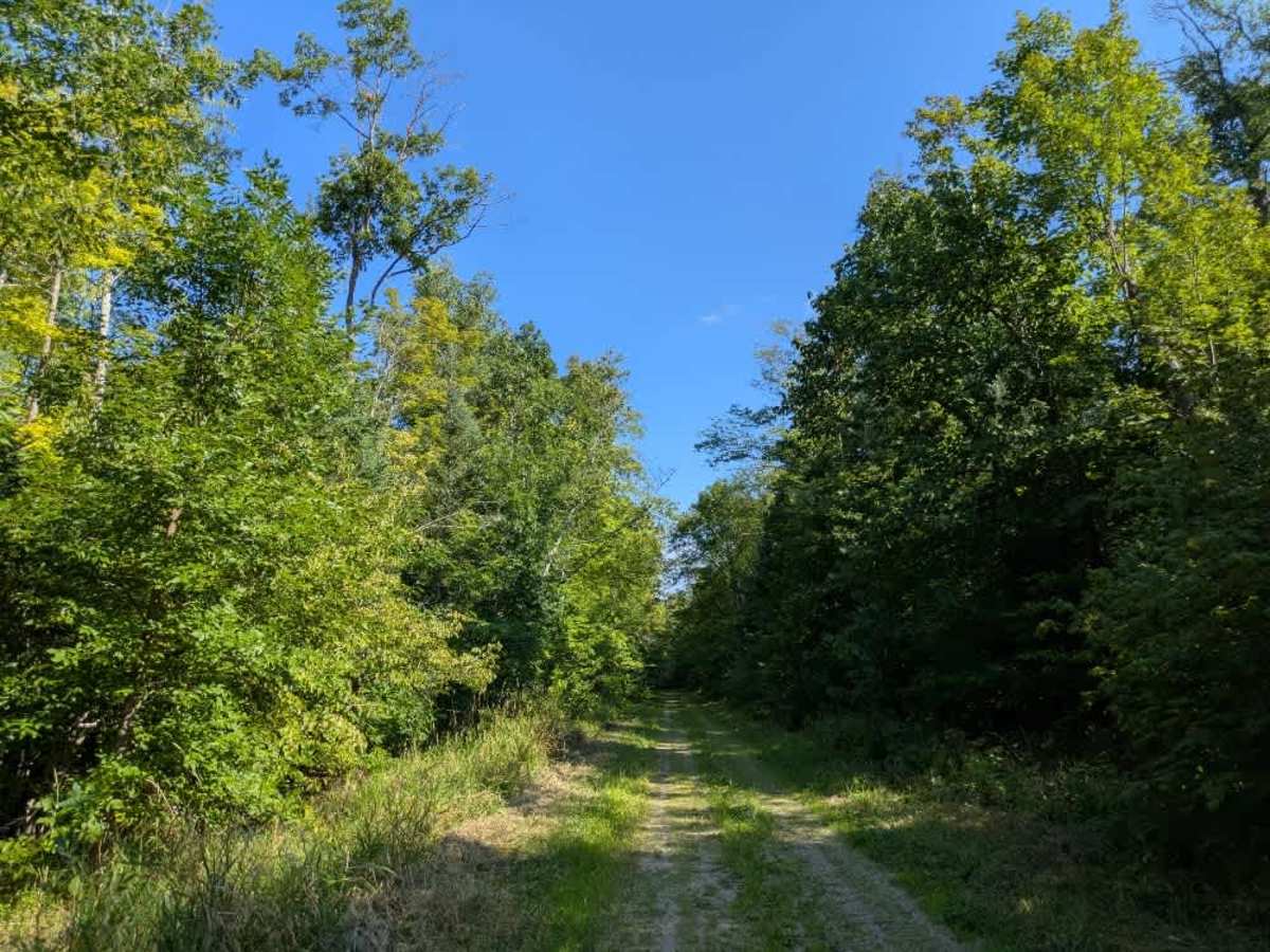
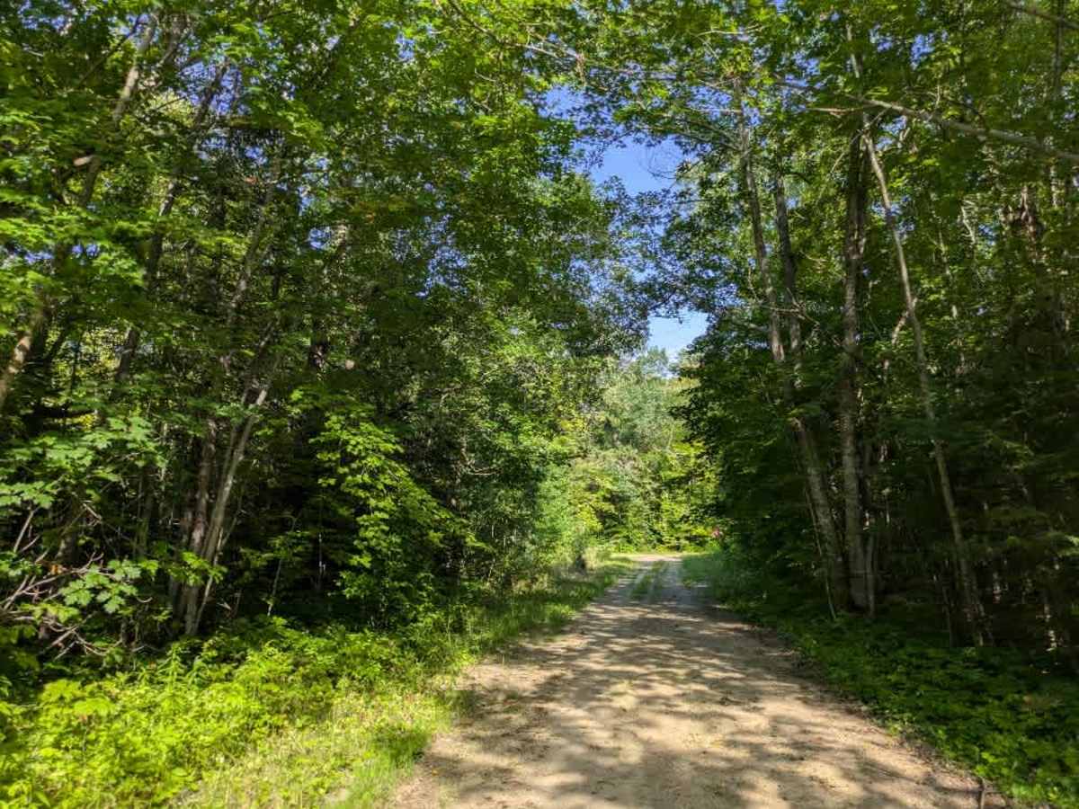
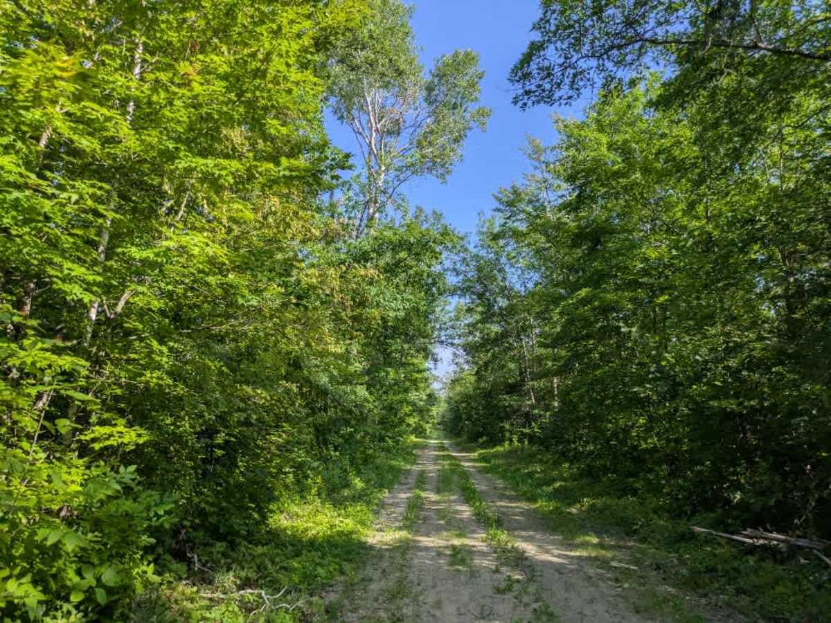
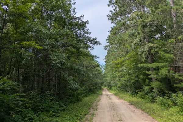
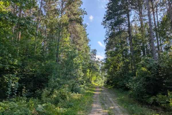
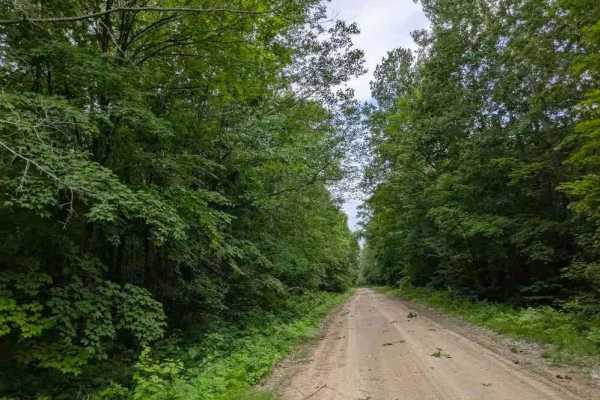
This trail runs as a narrow, single-track that alternates between gravel and sand. The surface is generally smooth with some bumps, and the route winds through a forest dominated by maple and red pine. The terrain includes gentle ascents and descents, and while it is straightforward to follow, fallen trees are a common obstacle that may require clearing. A few side trails branch off the main route, including larger loops as well as smaller ATV and side-by-side tracks. Vegetation grows in tightly along sections of the trail, giving it an overgrown appearance, and drainage ditches run alongside parts of the route. Due to its narrow width and limited space to maneuver, turning around can be challenging. There are no residences along this route, which adds to its quiet character. The trail crosses Forest Route 2133, and there is an area near the water, although it was dry when it was mapped in August 2025. Dispersed camping may be possible in some locations, but conditions can be very buggy. The trail does not provide formal campsites or amenities such as water access or trash disposal, and cell service may be unreliable in certain areas.
Difficulty
This forested route is lightly maintained and typically sees use during peak seasons. Expect occasional fallen limbs, narrowing sections from plant growth, and minor obstacles.