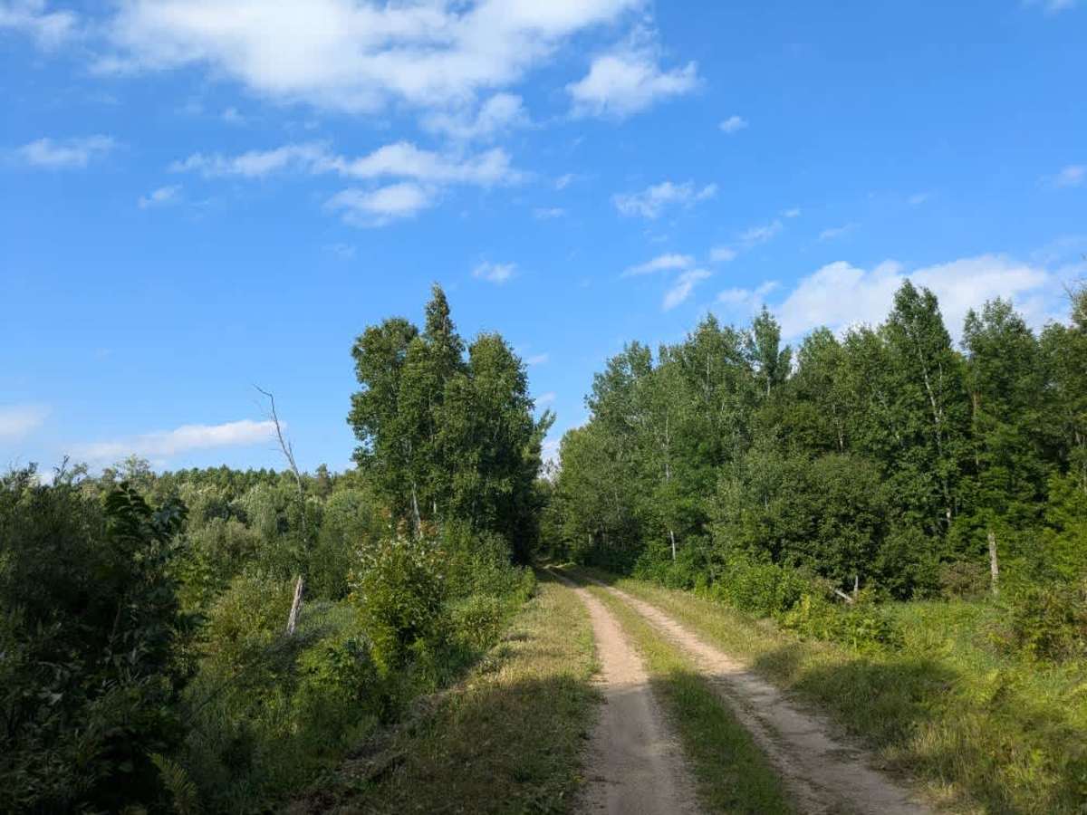
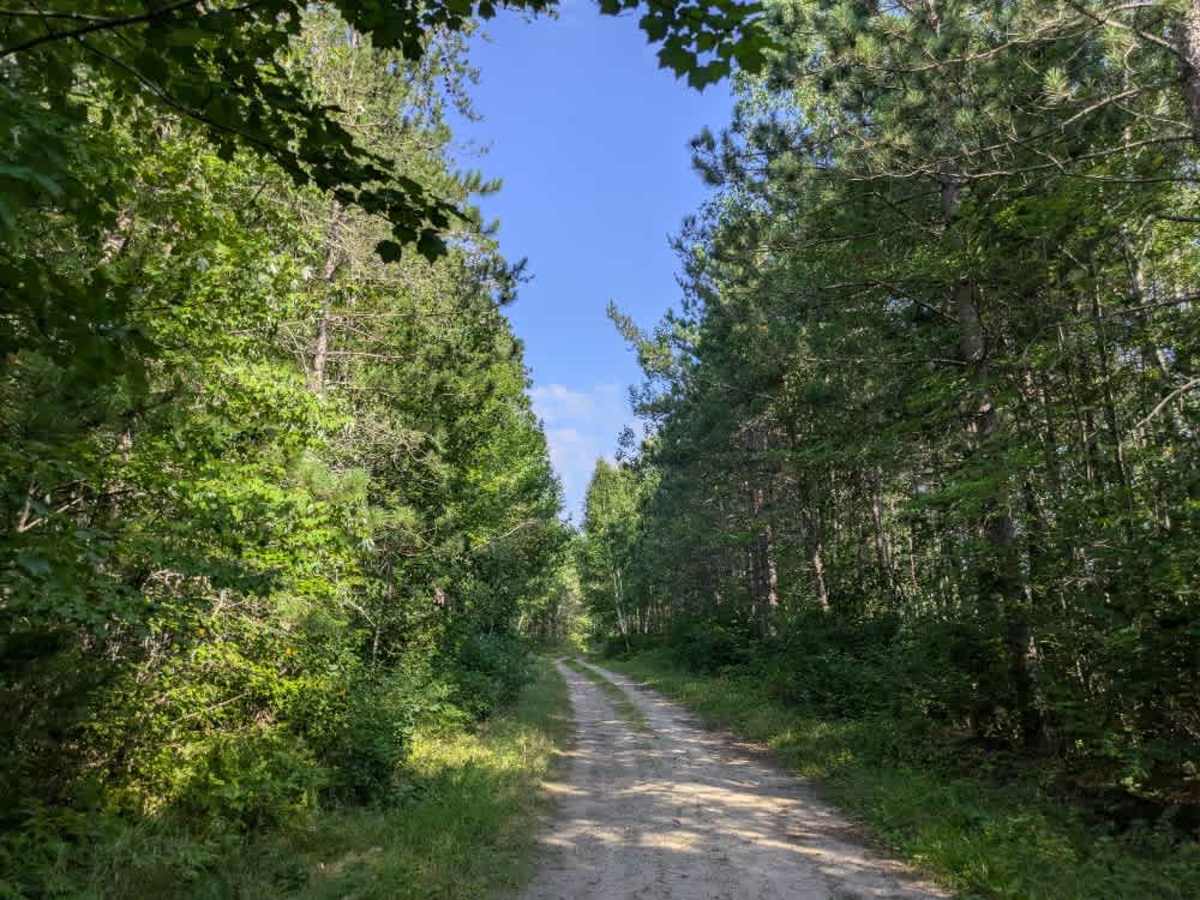
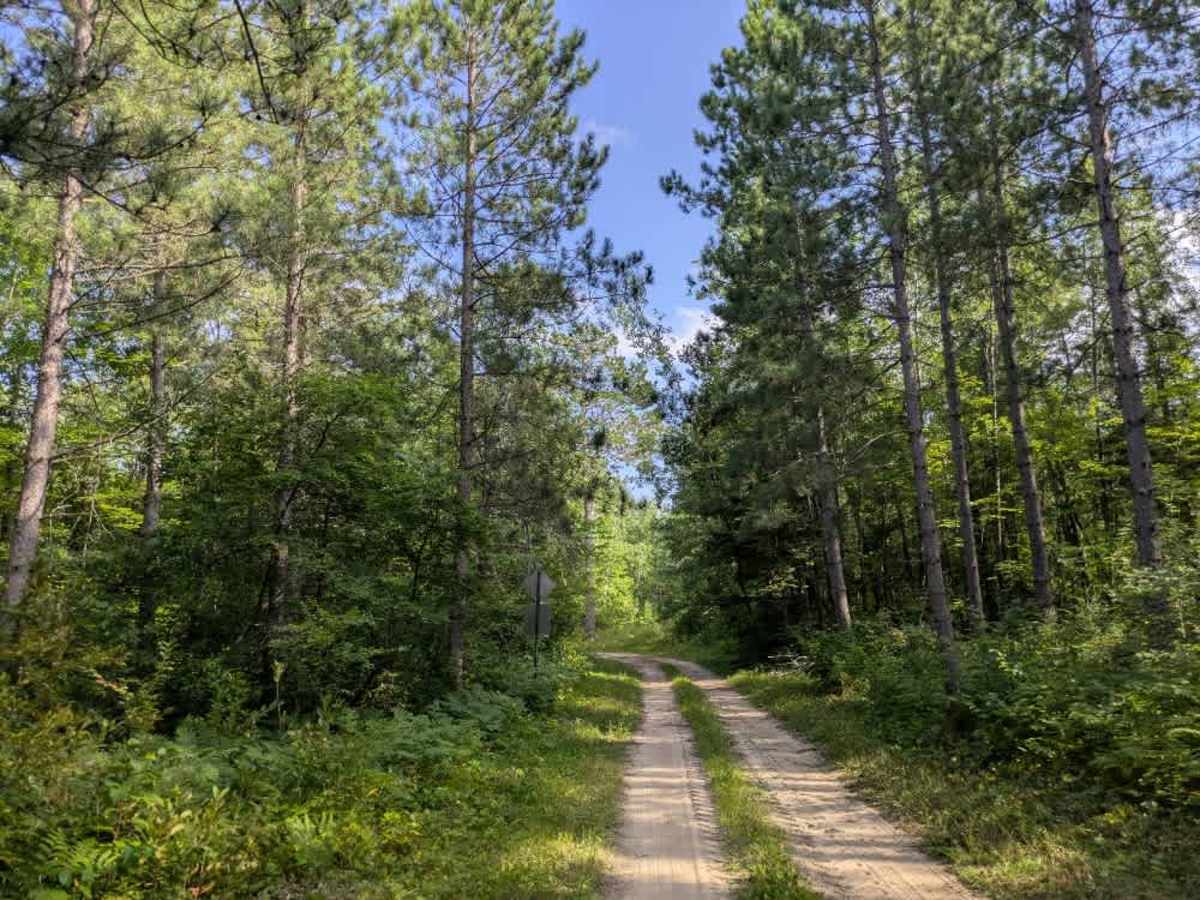
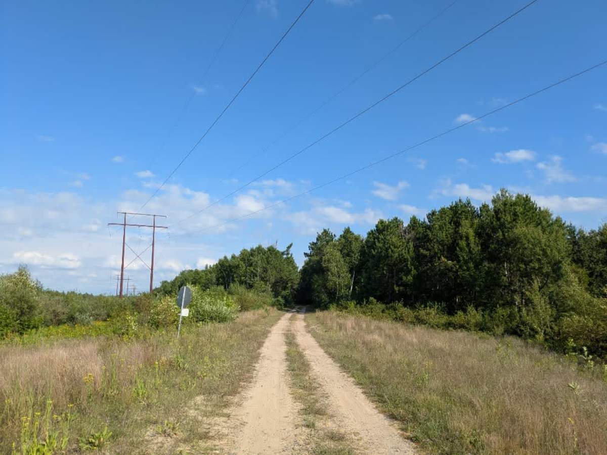
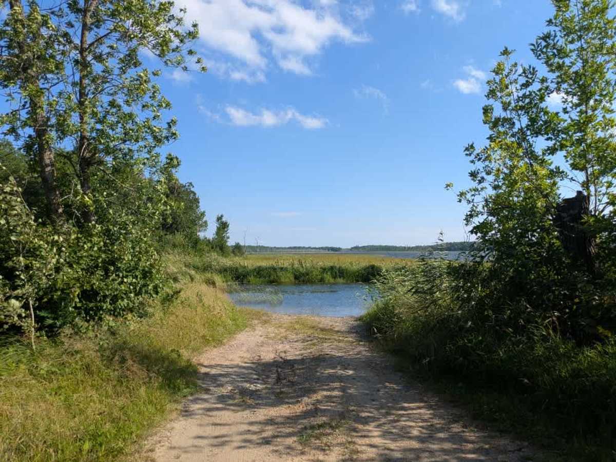
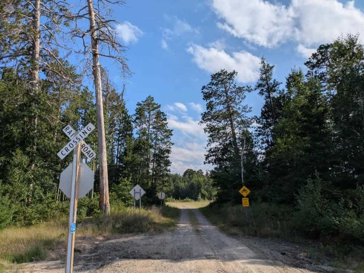
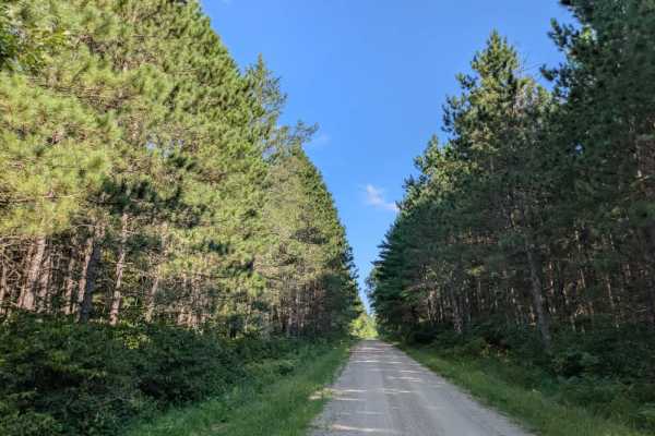
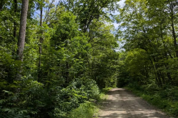
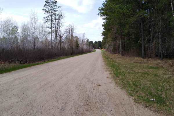
Trail Overview
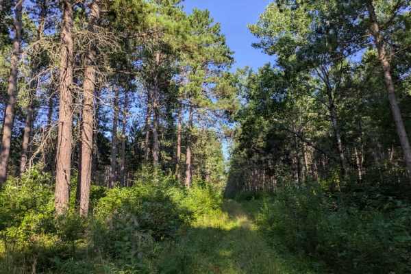
This trail is best suited for ATVs and side-by-sides, although it can also be traversed by other vehicles. It is a single-vehicle-wide route with a surface of gravel and sand, winding through a forest dominated by pine. The terrain includes a mix of ascents and descents, and while generally manageable, there are sections with noticeable dips and some areas that feel slightly off-camber. Access is directly from a paved highway, and early in the route, the trail passes over a railroad track. Along the way, several side trails branch off, although many of them are not shown on maps. Some of these spurs connect to clearings or possible snowmobile trails. The route eventually leads to the water, where there is a public access point suitable for launching boats and canoes. Camping is possible in the area near the boat launch, though it is informal and not developed. The trail itself does not provide formal campsites, and it lacks basic amenities such as water supply and trash disposal. Cell service may be unreliable throughout portions of the route.
Difficulty
This trail is not regularly maintained, but it appears to be used by other off-roaders, which helps keep the forest from encroaching on the trail.