Trail Overview
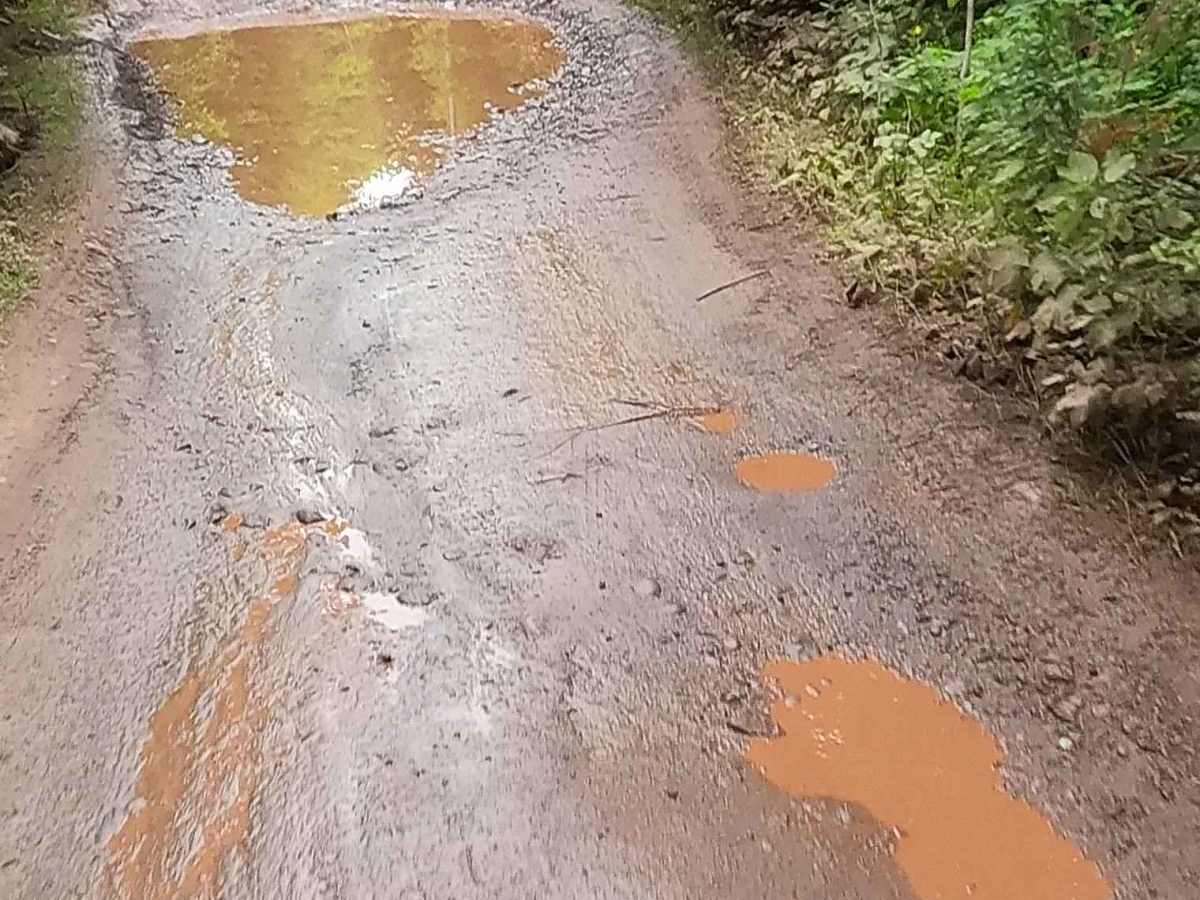
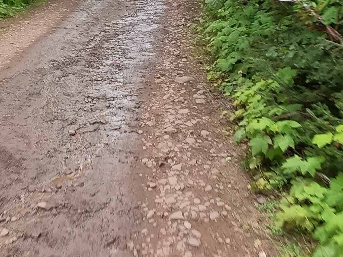
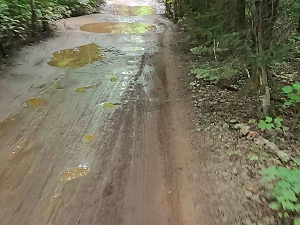
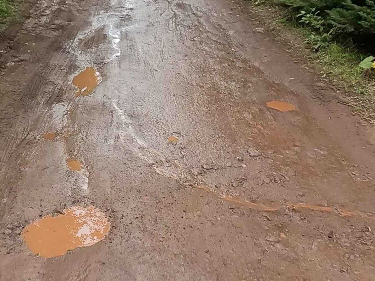
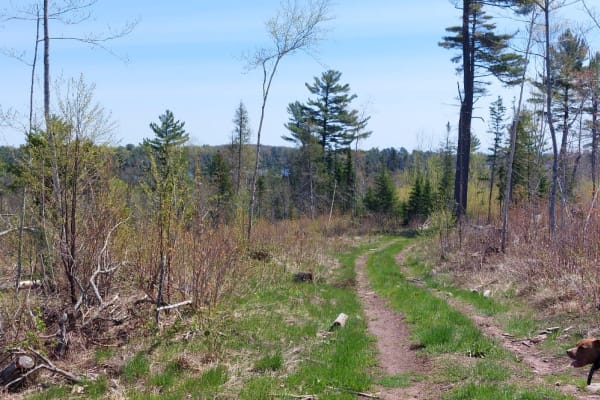
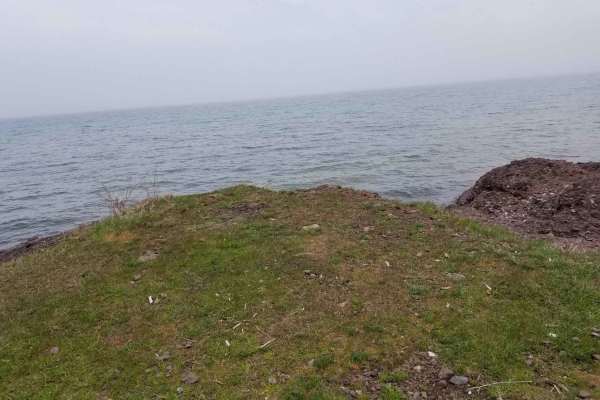
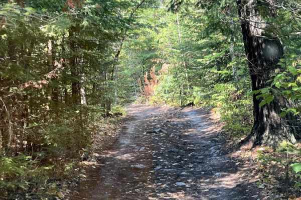
Schlatter Lake Trail is a federally owned/ locally maintained, Level-2/ Level-3 forest road with a surface composition of dirt, sand, gravel, and native material. This route is currently open and in fair condition; it is not a DNR road (ORV use is subject to local government regulations). This route is a "There-and-Back" route that traverses the east shore of Schlatter Lake, South of High Rock Bay Road, and offers access to Lake Superior via one of the Peninsula's only sandy beaches. Description created on August 16, 2025.
Difficulty
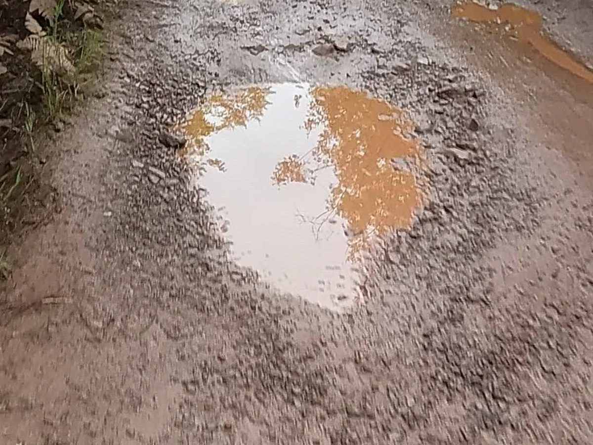
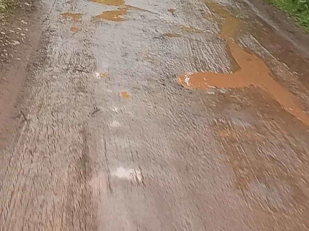
Dirt and rocky road, typically unmaintained after rain or snow. You may encounter shallow water crossings and obstacles under 12 inches on the trail, including small ledges. Road is typically one to two vehicles in width.
History
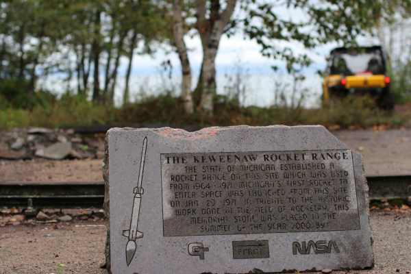
High Rock Bay's history is intertwined with the broader history of the Keweenaw Peninsula, particularly its geological origins and the geological mining boom of the mid-1800s, where it served as a scenic, albeit challenging, destination. Though not a mining site itself, the area is known for its dramatic red cliffs, the presence of the historic Keweenaw Rocket Range facility for NASA research in the 1960s and 70s, and its remote, "end-of-the-world" reputation. Geological Significance The Keweenaw Peninsula, including High Rock Bay, sits on some of the oldest exposed rock in the world, dating back 1.1 billion years. This mineral-rich geology led to the first great mining boom in the United States in 1843, following the discovery of copper. Historic Sites and Activities Keweenaw Rocket Range: A significant historical landmark, the Keweenaw Rocket Range was used by NASA and the University of Michigan between 1964 and 1971 to launch meteorological research rockets. Remote and Isolated Destination: Today, the area is known for its difficult, unpaved access, earning it the nickname "the end of the world". This remoteness has preserved a unique natural setting with stunning views of Lake Superior and the surrounding landforms. Modern Relevance While High Rock Bay does not have mining history itself, the Keweenaw Peninsula's history as a major copper and timber resource shaped the region. The area remains a remote destination for outdoor enthusiasts, offering a glimpse into the rugged beauty of the Keweenaw and the historical presence of scientific research, according to Fresh Coast Cabins on Lake Superior.