Trail Overview
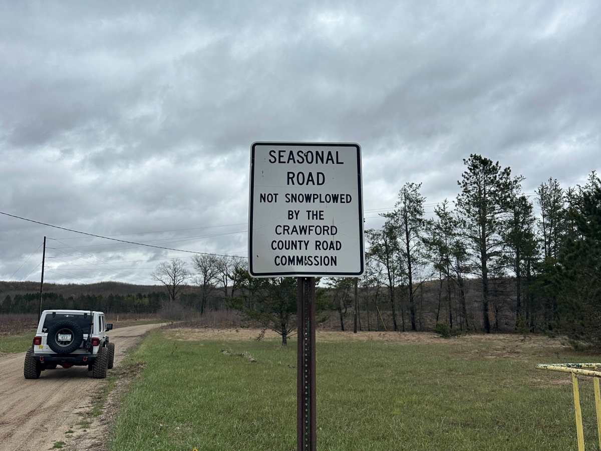
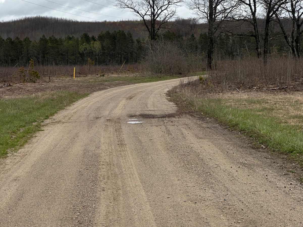
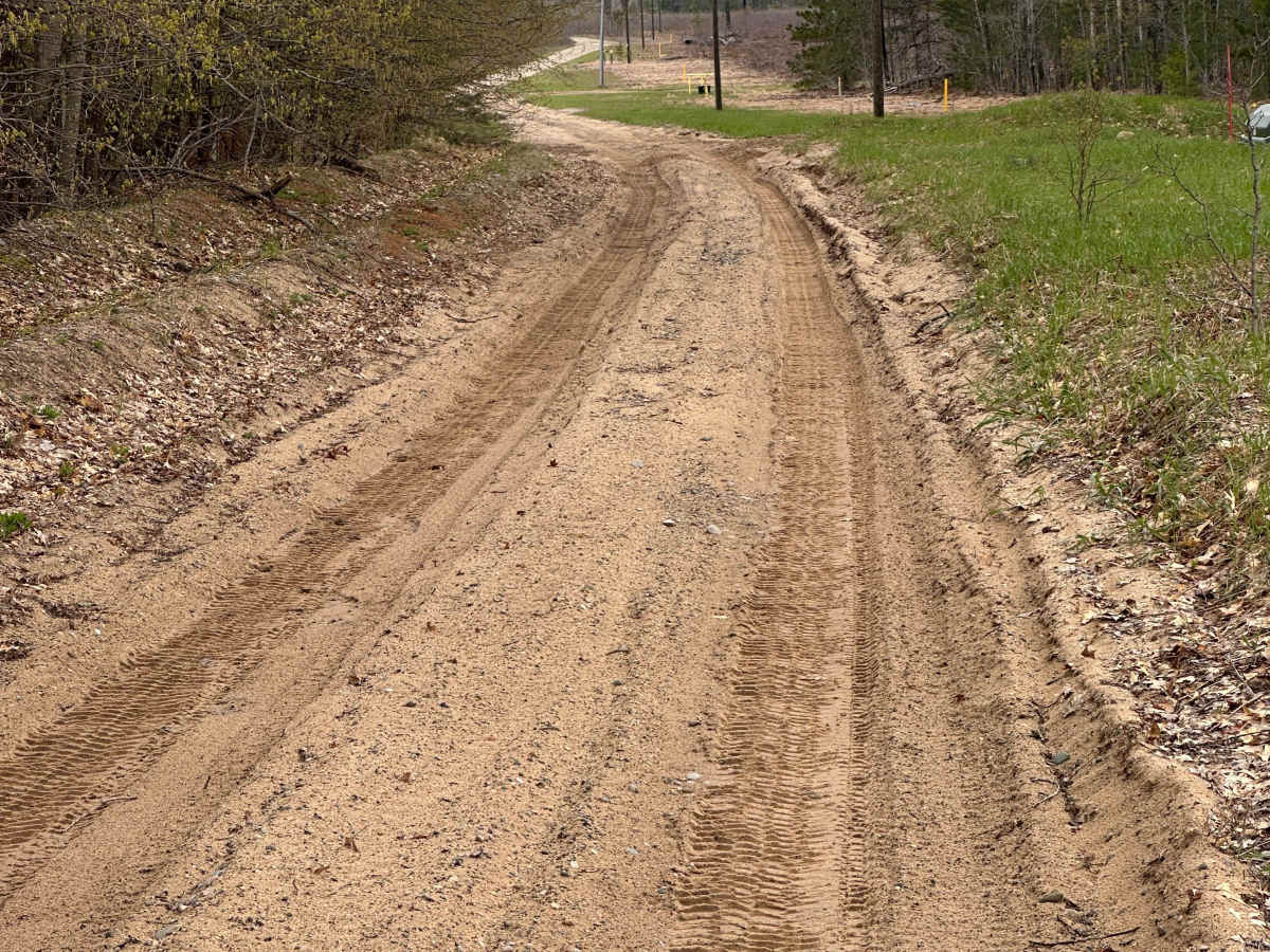
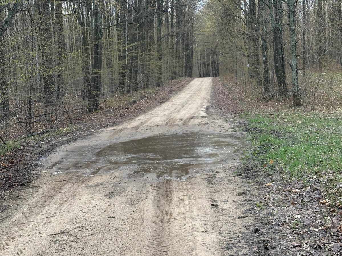
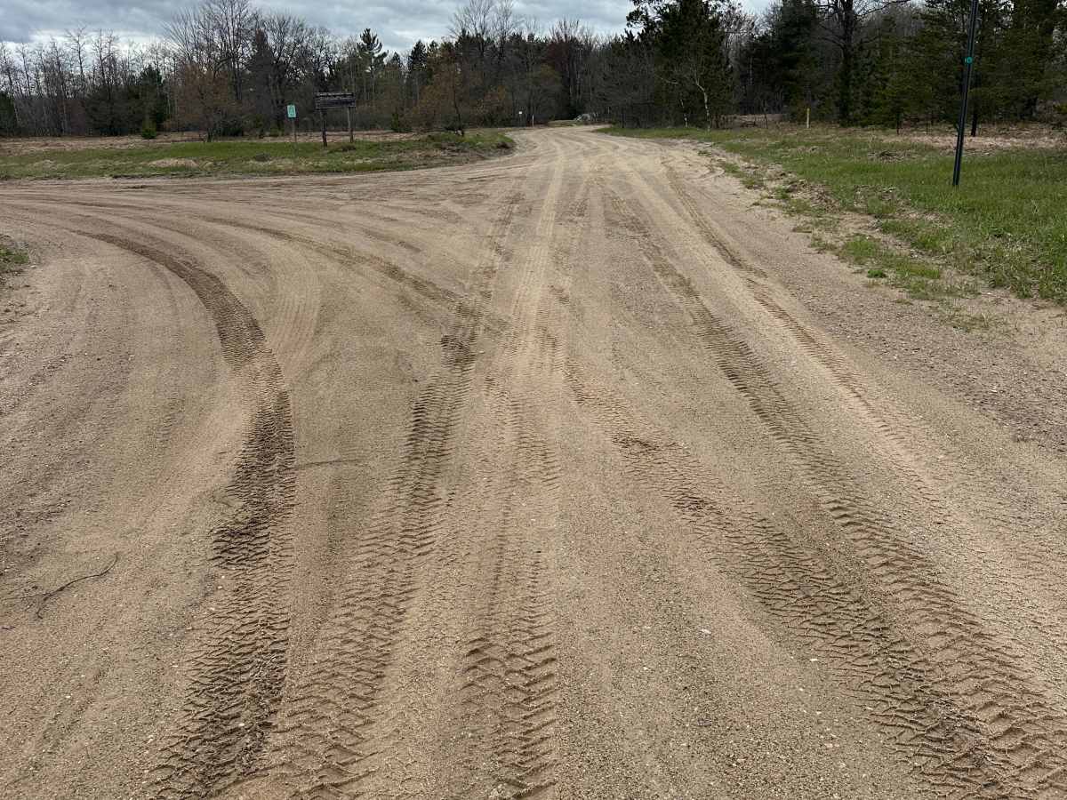
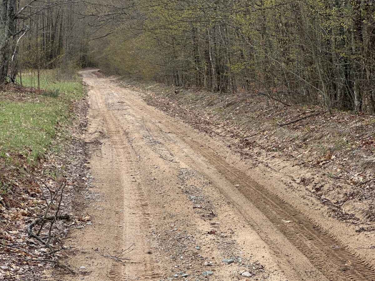
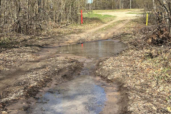
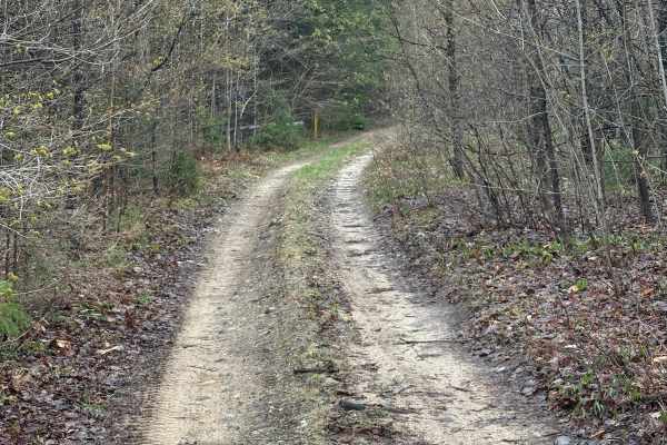
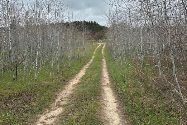
Post Road is a seasonal single-lane two-track in Crawford County that is ideal for drivers seeking an easy forest adventure through Northern Michigan's extensive trail network. The route follows a mix of dirt, gravel, and sandy surfaces within the Grayling Forest Management Unit, making it suitable for high-clearance SUVs and stock 4x4 vehicles during favorable conditions. Dense stands of pine and hardwood forest create a scenic backdrop, and wildlife sightings are common along the trail. Although much of the route is narrow, several sections widen enough to allow oncoming vehicles to pass safely. Soft sand and occasional muddy areas can become more challenging after wet weather, so drivers should adjust their speed and be prepared for changing traction.
The trail can be driven in either direction and terminates at Deward Road, providing flexibility when connecting with other nearby forest roads and trail systems. Seasonal weather plays a significant role in surface conditions, with sand becoming looser during dry periods and muddy sections developing after rain or spring thaw. This route offers a quiet, enjoyable ride for those looking to explore the forests surrounding Grayling without encountering major technical obstacles. Stay on designated routes, respect seasonal closures, and follow Tread Lightly principles to help protect the forest and preserve access for future visitors.

 Offroad