North Manistee River Loop

Total Miles1
Technical Rating
2Easy
Best TimeSpring, Summer, Fall
Trail TypeFull-Width Road
Accessible By
Open Trail Map

Trail Overview

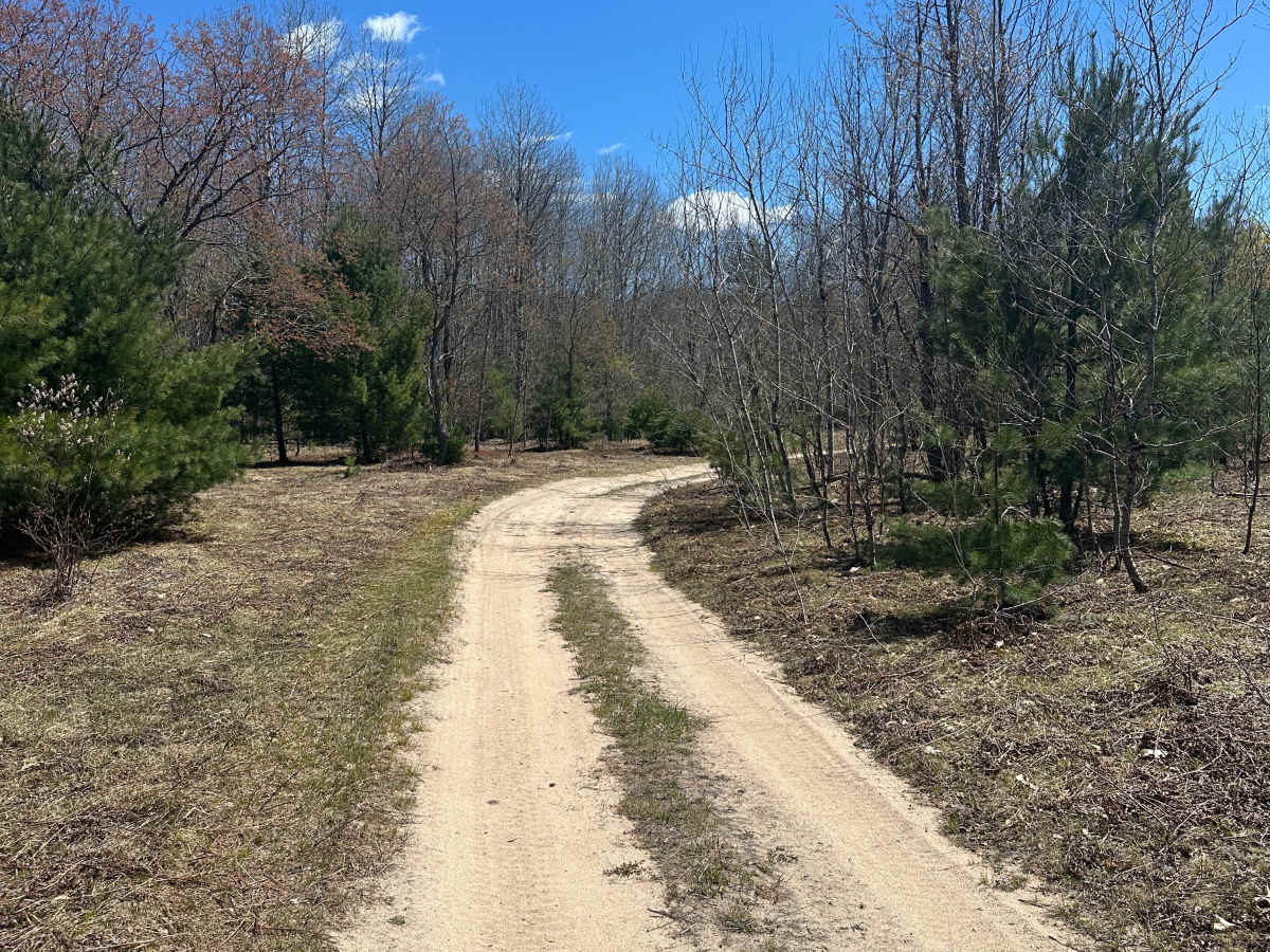
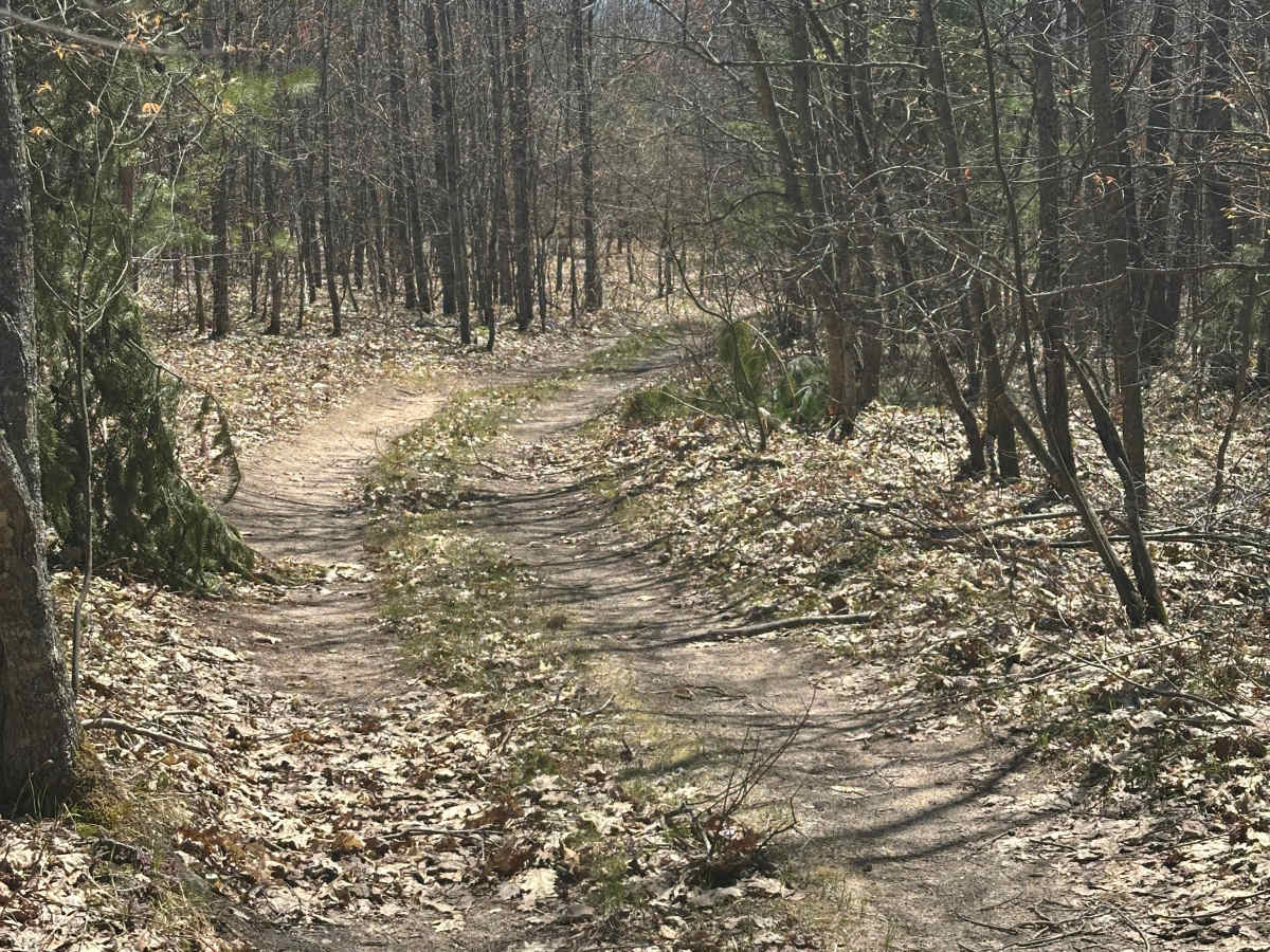
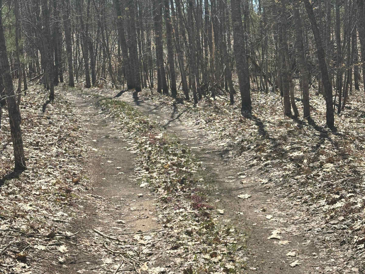
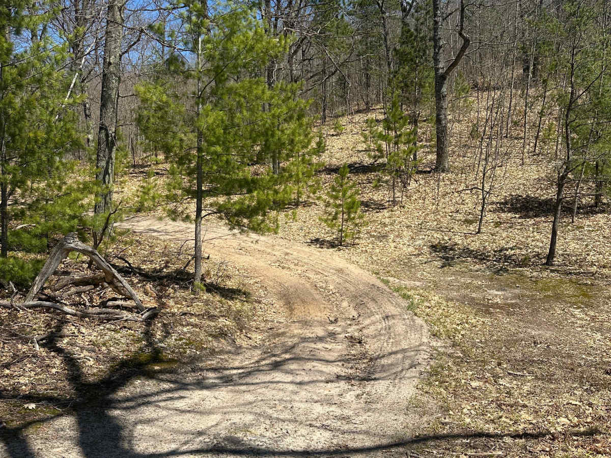
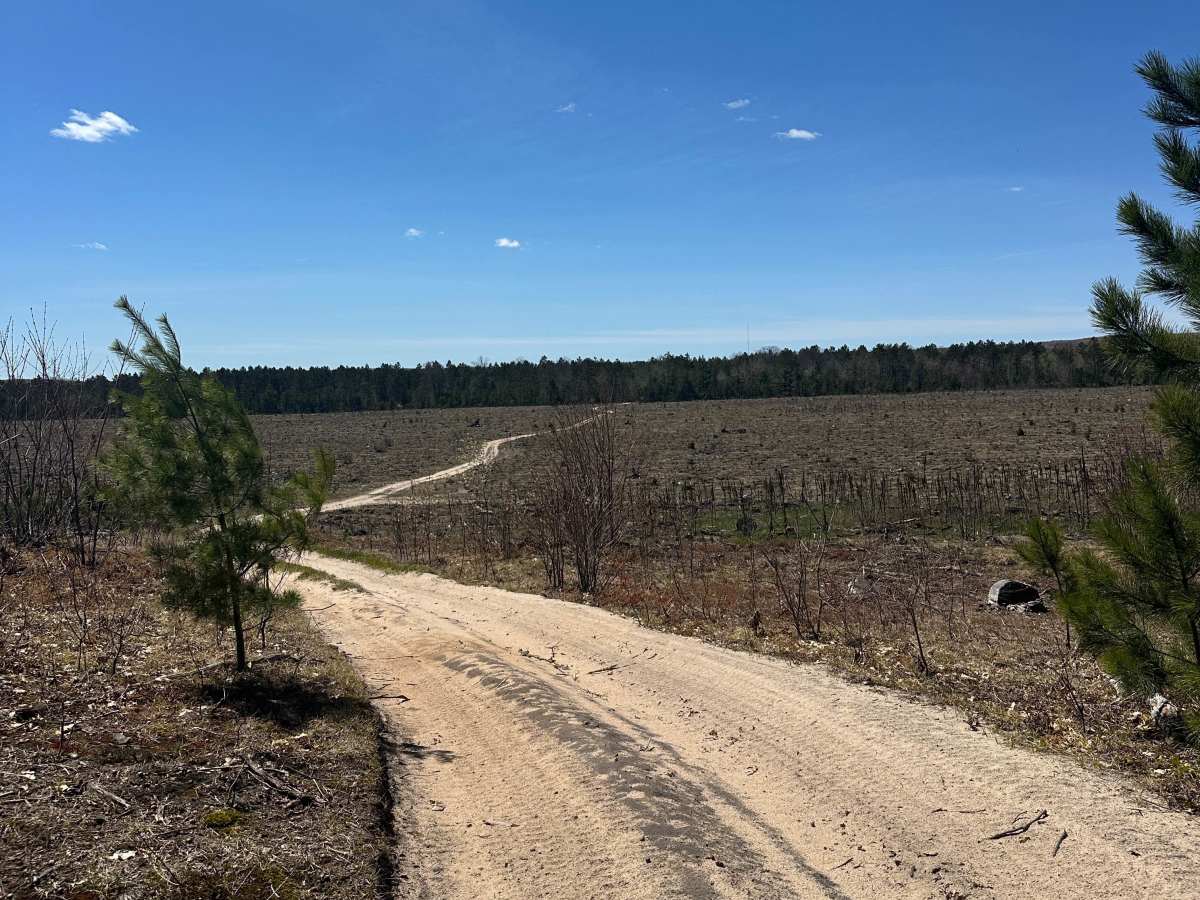
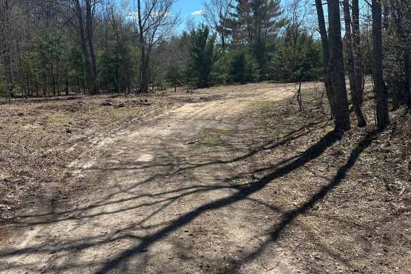
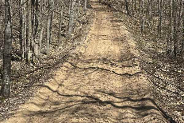
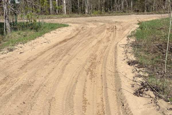
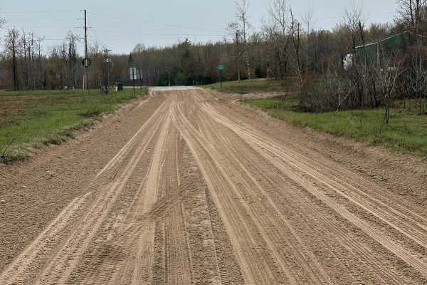
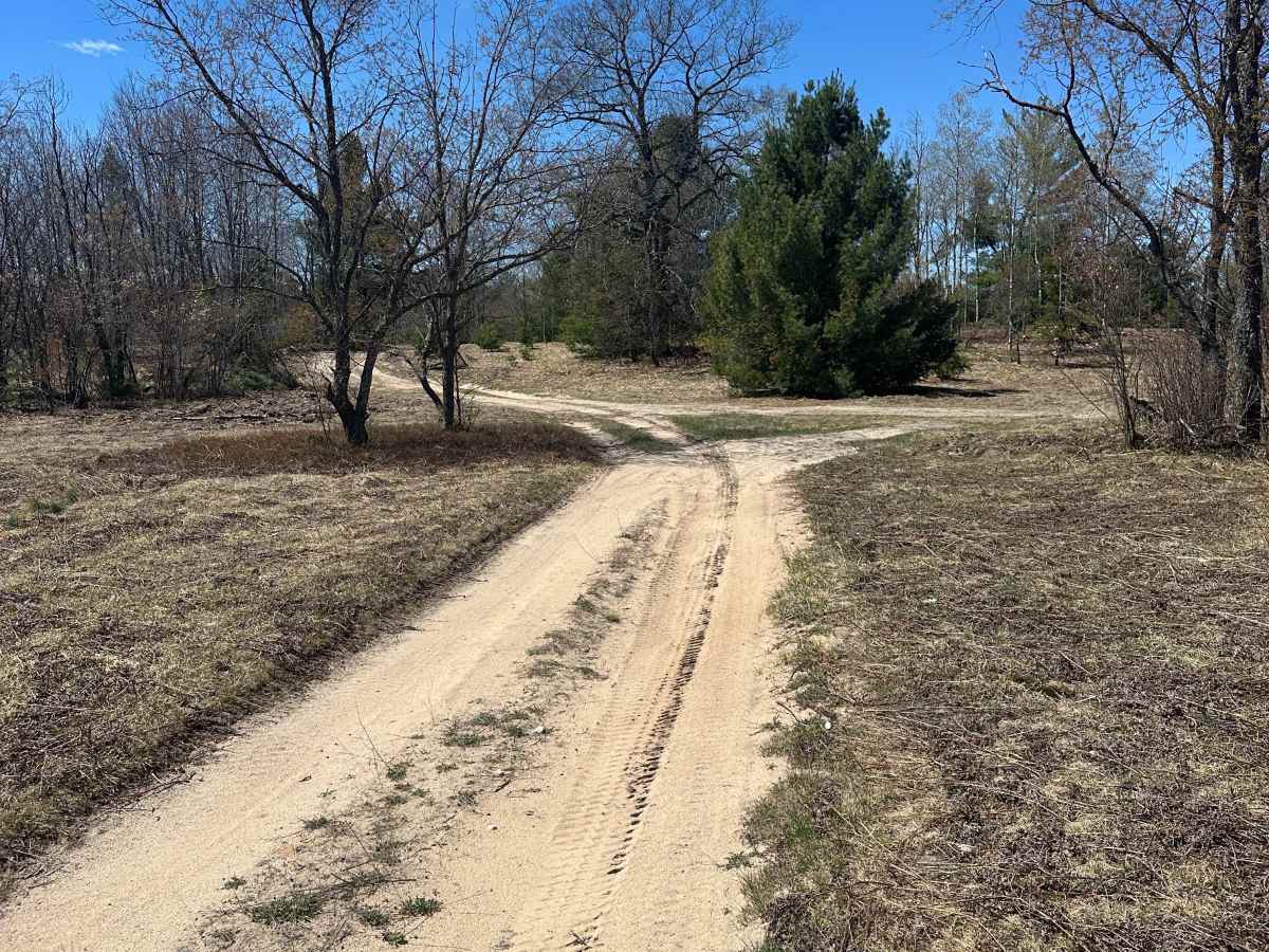
North Manistee River Loop is a 1.0-mile, single-lane dirt, gravel, and sand two-track trail situated in the Gaylord Forest Management Unit west of Frederic, Michigan. Winding through a forest of mixed pines and hardwoods, the route is mostly flat with an elevation change of under 40 feet. While the path is narrow and twisting in some sections, occasional wider spots allow vehicles to pass. The trail begins and ends at North Manistee River Road and features sections of soft sand.

Photos of North Manistee River Loop

Difficulty

Along the route, drivers may encounter some soft sand.

Technical Rating

2

North Manistee River Loop Trail can be accessed by the following ride types:

  • High Clearance
  • Full Width

Access Description

Operating off-road vehicles (ORVs) on Michigan state forest roads and trails requires both a valid Michigan DNR ORV License and an ORV Trail Permit. Vehicles must also be equipped with an approved spark arrestor and meet standard noise limits. Under state law, forest roads are closed to ORVs unless posted as open.

North Manistee River Loop Map

The onX Offroad Difference

onX Offroad combines trail photos, descriptions, difficulty ratings, width restrictions, seasonality, and more in a user-friendly interface. Available on all devices, with offline access and full compatibility with CarPlay and Android Auto. Discover what you're missing today!

Open Trail Map