Trail Overview
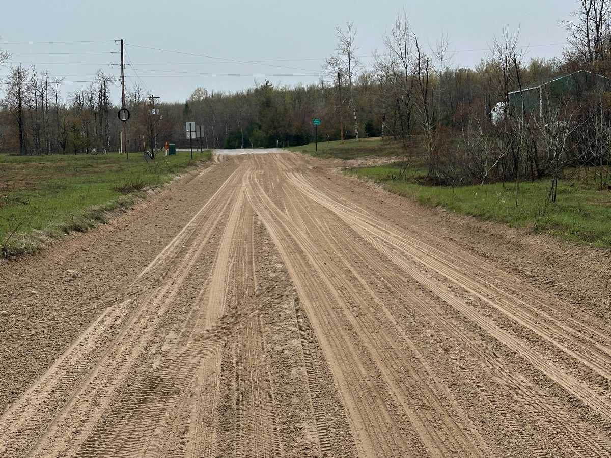
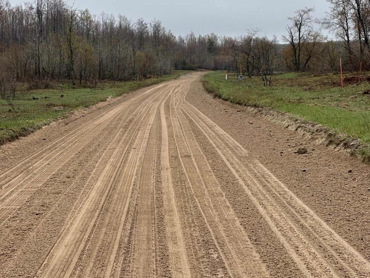
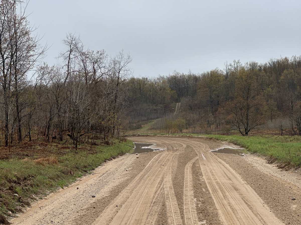
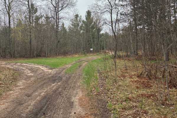
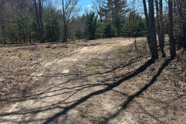
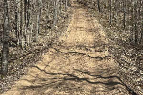
Mount Fredric Road in Crawford County is a double-lane route consisting of gravel, dirt, and sand. The road offers opportunities for wildlife viewing and serves as a connection to the broader off-road trail system in Northern Michigan. Some sections are wide enough to allow passing vehicles, while other areas feature deeper sand.
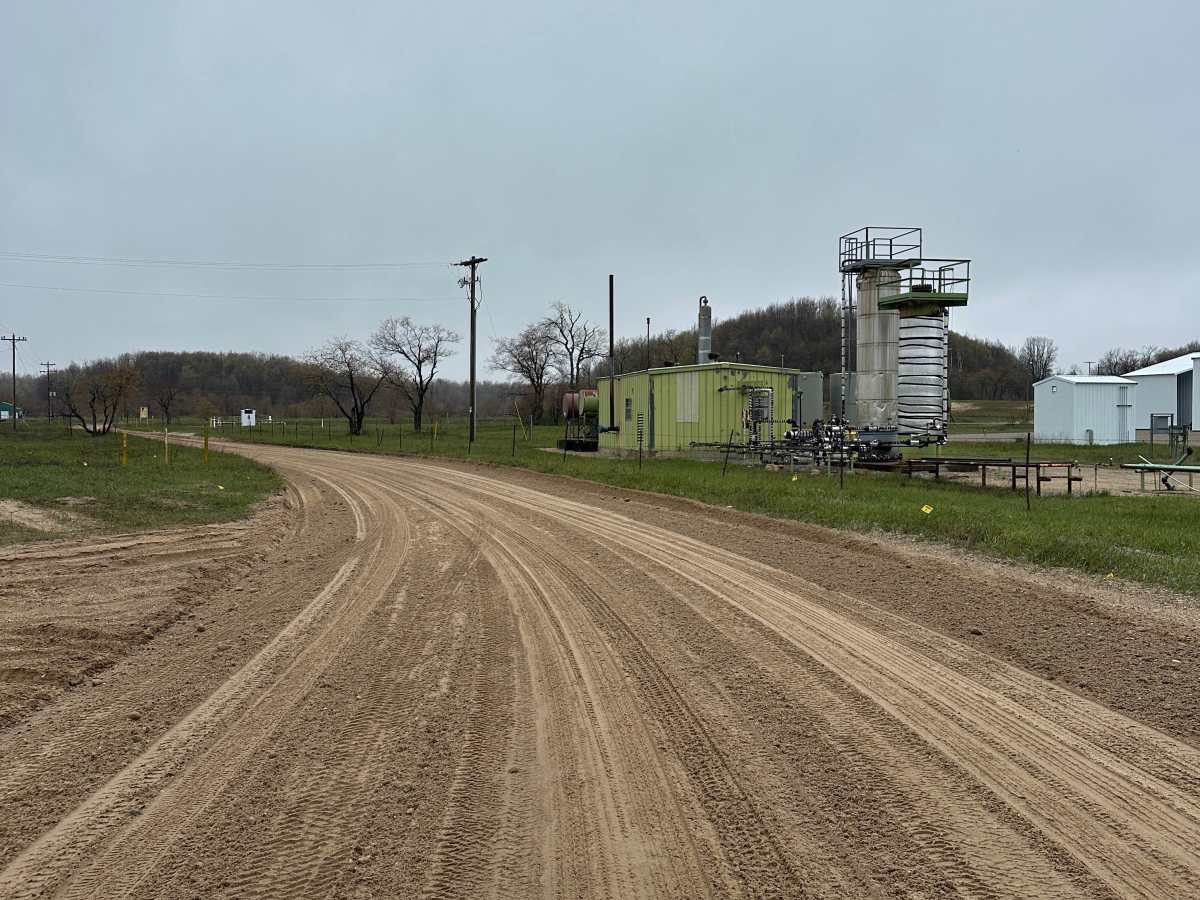
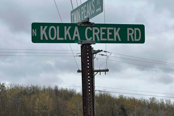
The surrounding forest is dominated by pines and hardwoods, and several active oil and gas facilities are located along the track. The route can be traveled in either direction and terminates at Twin Peaks Road.
Access Description
Mount Frederic Road is a public county road and does not require fees or permits for highway-legal vehicles. Off-road vehicles (ORVs) must have a valid Michigan DNR ORV license and trail permit. The road is unplowed during the winter months and may become impassable to standard vehicles due to snow depth.