Trail Overview
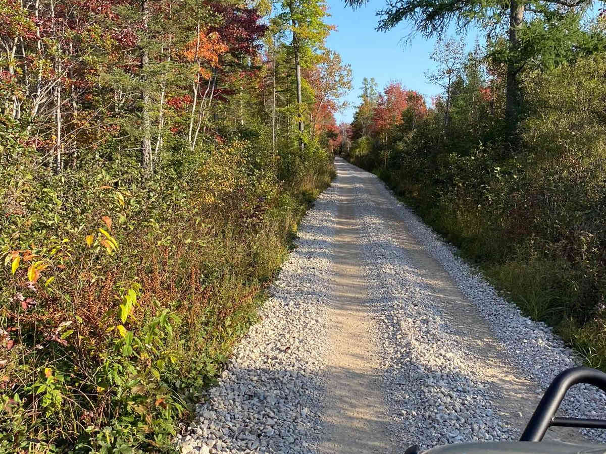
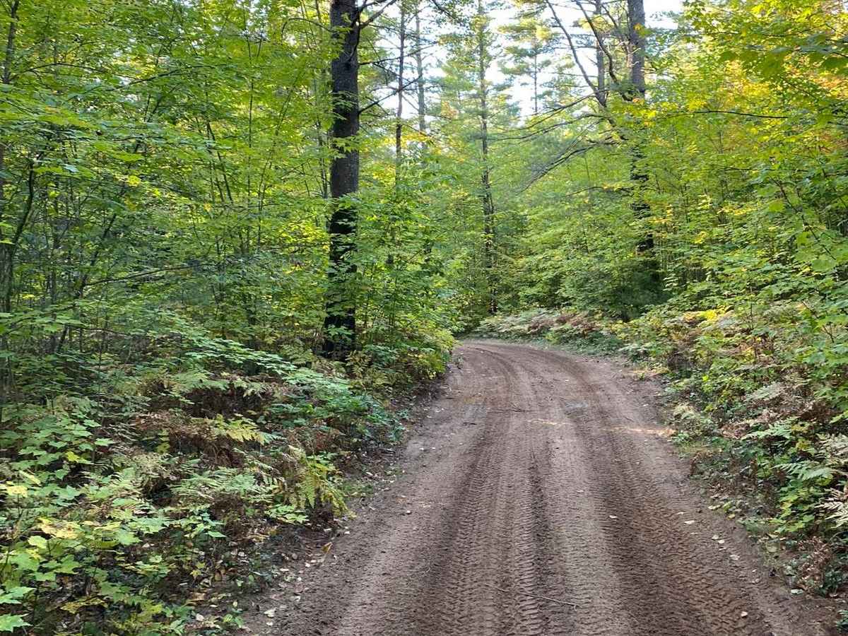
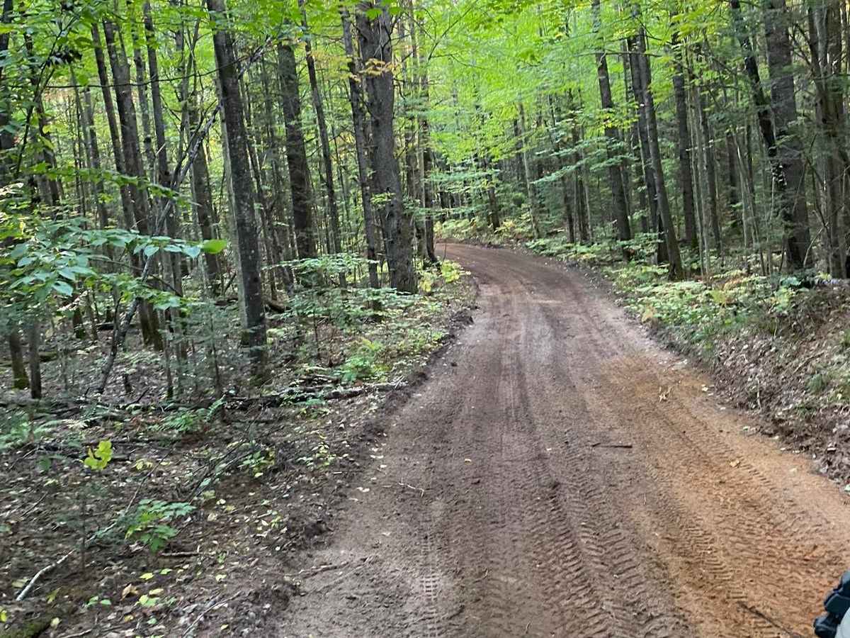
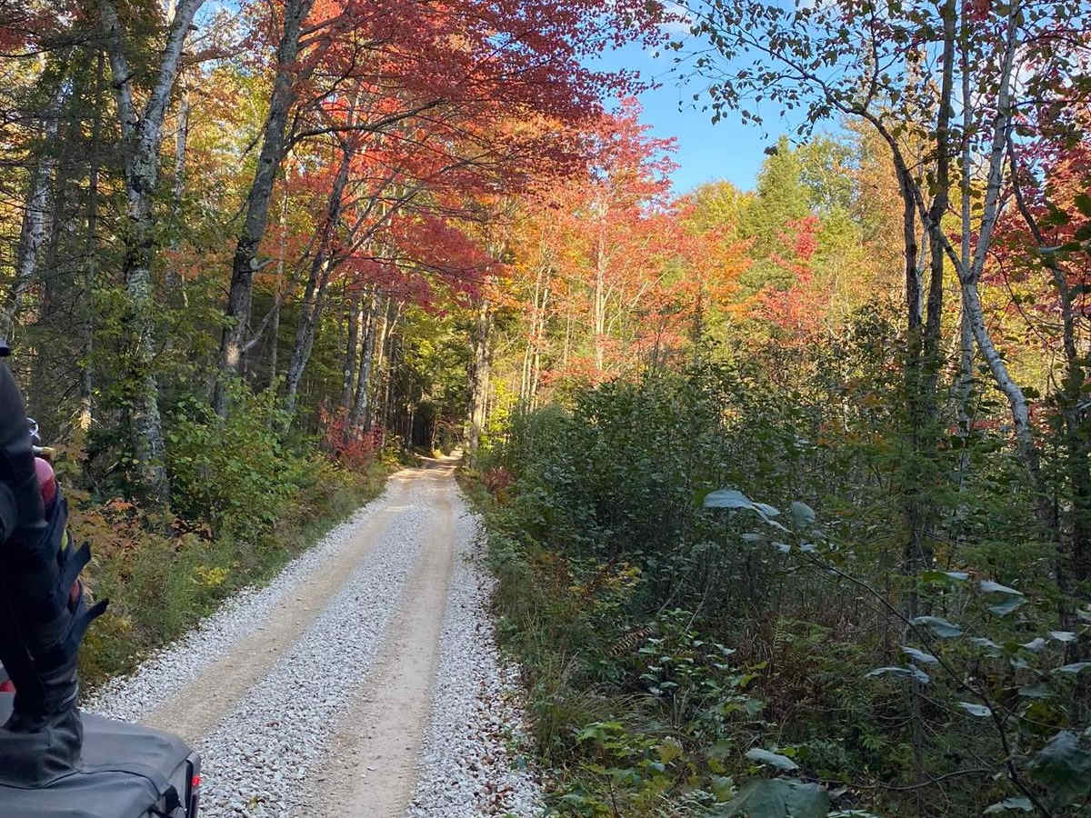
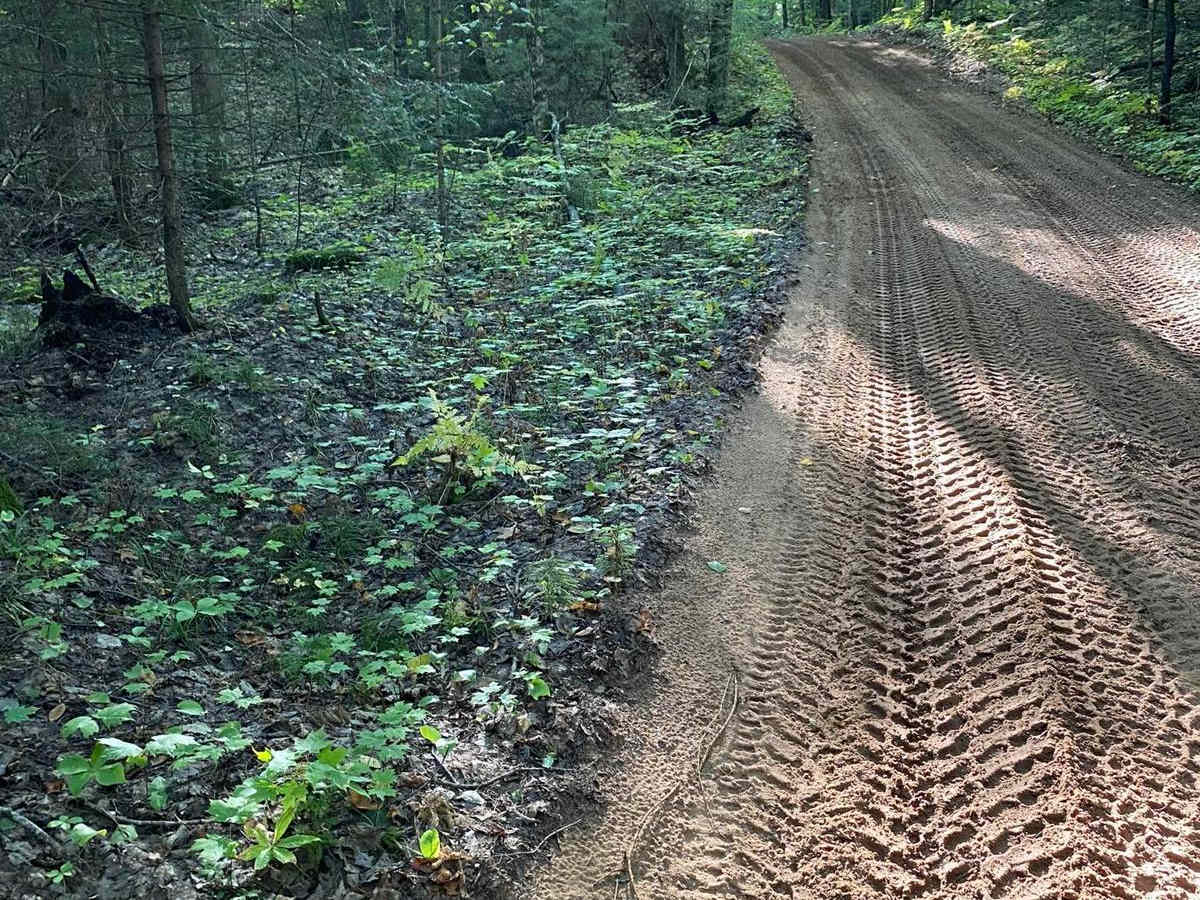
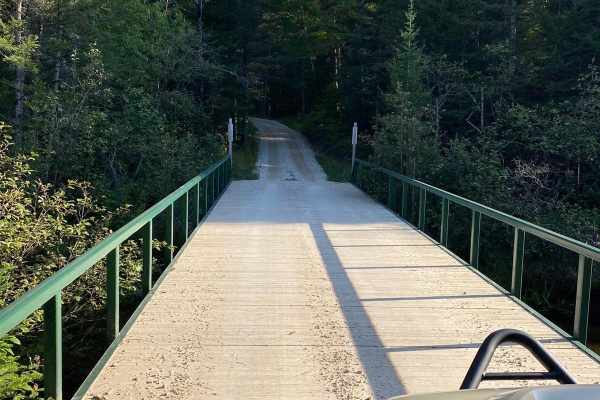
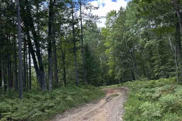
Murphy Creek to Thunder Lake - Part 7 offers offroaders an easy, scenic journey through the heart of Michigan's Upper Peninsula, making it ideal for beginners and scenic-focused drivers. Spanning approximately 8.6 miles, this trail connects Murphy Creek Trail to Thunder Lake Road, weaving through dense northern hardwood forests that showcase spectacular foliage during the autumn color change. The route features a very gentle elevation profile, starting at approximately 640 feet and reaching a maximum elevation of 728 feet, with a minimal net gain of around 70 feet. Drivers will navigate a primary surface of dirt and sand, which can occasionally become muddy or soft during wet seasons but remains highly accessible overall.
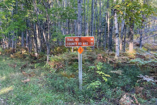
With a low technical rating of 2, this route is accessible to most high-clearance four-wheel-drive vehicles and stock SUVs, though caution should still be exercised in low-lying sandy or muddy patches. Key access points along the route intersect with local forest roads, such as Road 449 and Sawmill Road, offering multiple opportunities to exit the trail or extend the journey into neighboring trail networks. Because of its location in northern Michigan, the trail is best enjoyed from late spring through late fall, with winter bringing heavy snowpack that requires specialized winter travel gear. Exploring this segment provides a relaxing way to experience the quiet beauty of the surrounding wilderness while maintaining easy access to major regional thoroughfares.
Access Description
The route is located within the Hiawatha National Forest. No specific permits are required for general driving in highway-legal vehicles, but non-street-legal off-highway vehicles must display a valid Michigan ORV license and trail permit. Be mindful of seasonal road closures due to heavy winter snowfall.


 Offroad