Trail 413 Fletcher - Part 6

Total Miles4.5
Technical Rating
2Easy
Best TimeFall
Trail TypeFull-Width Road
Accessible By
Open Trail Map

Trail Overview

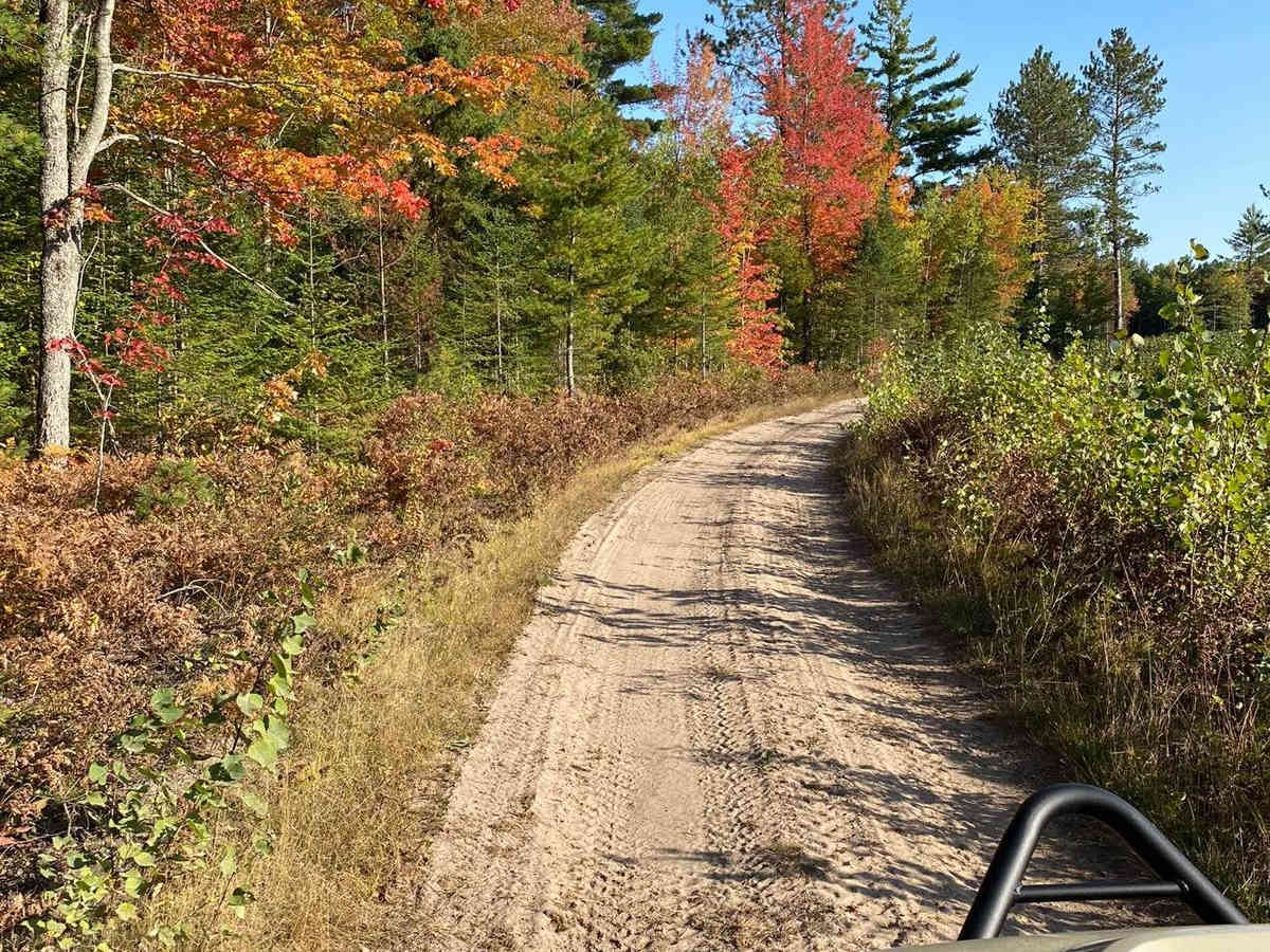
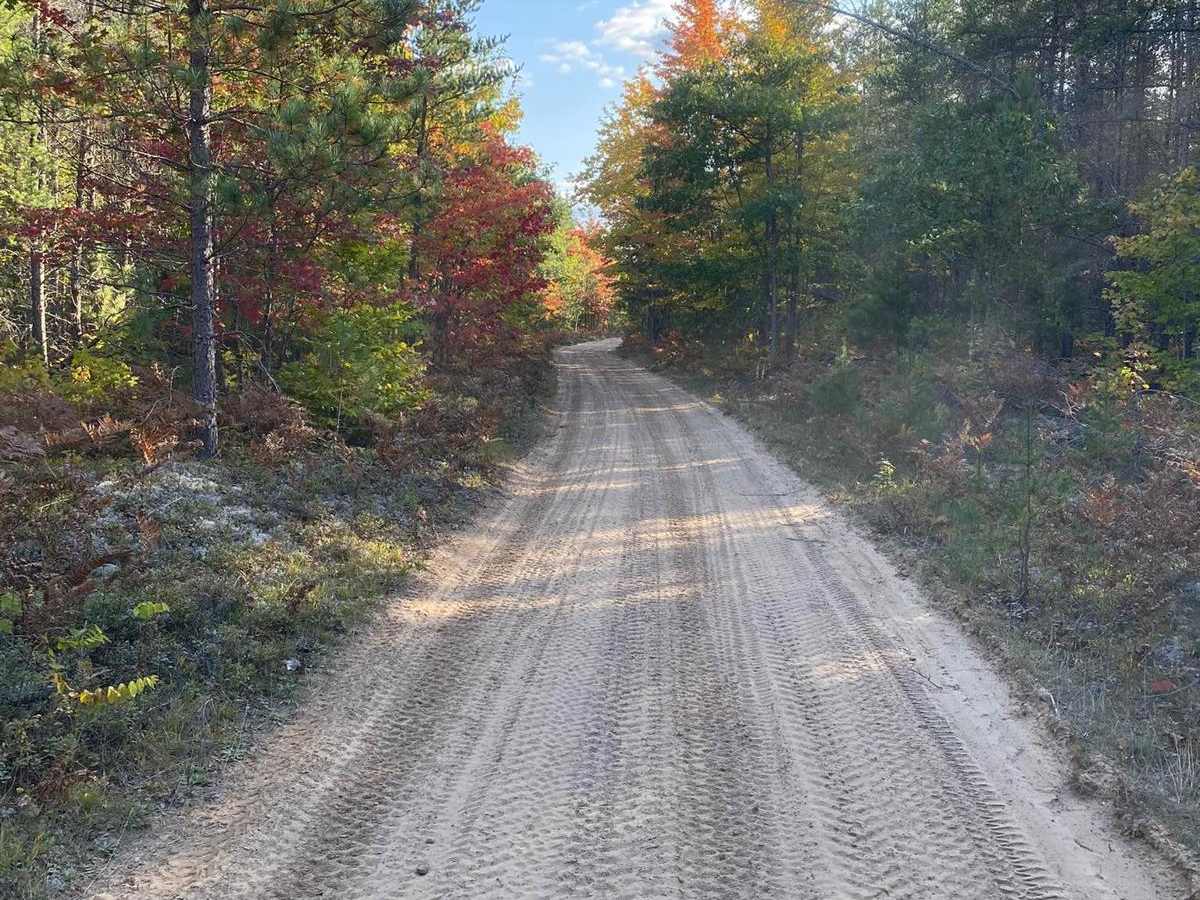
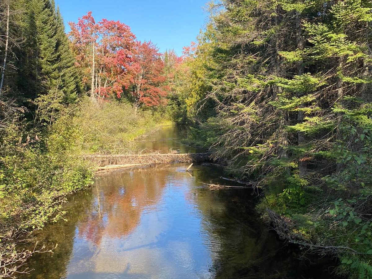
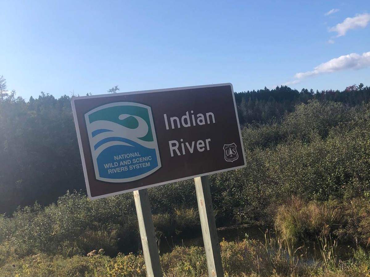
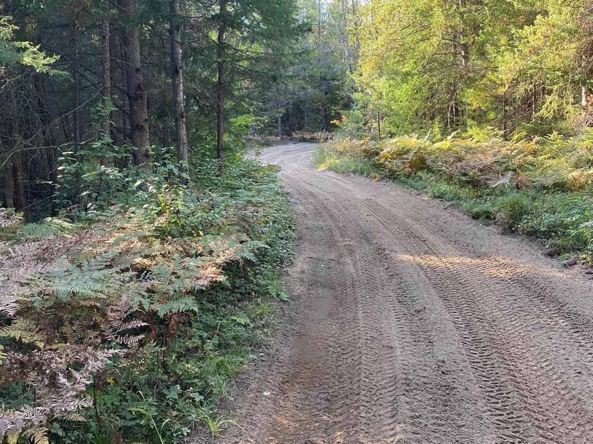
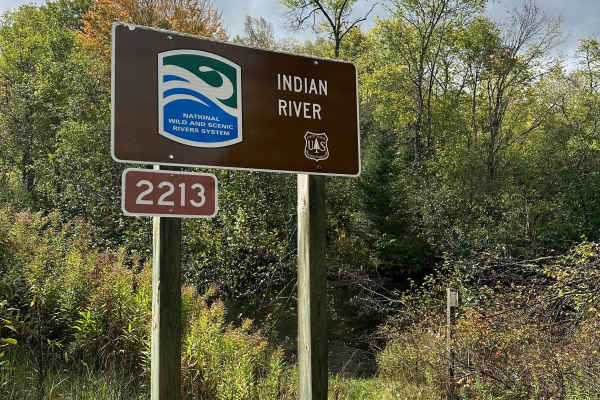
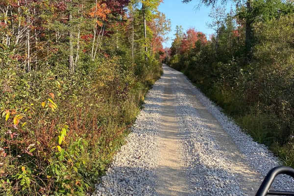
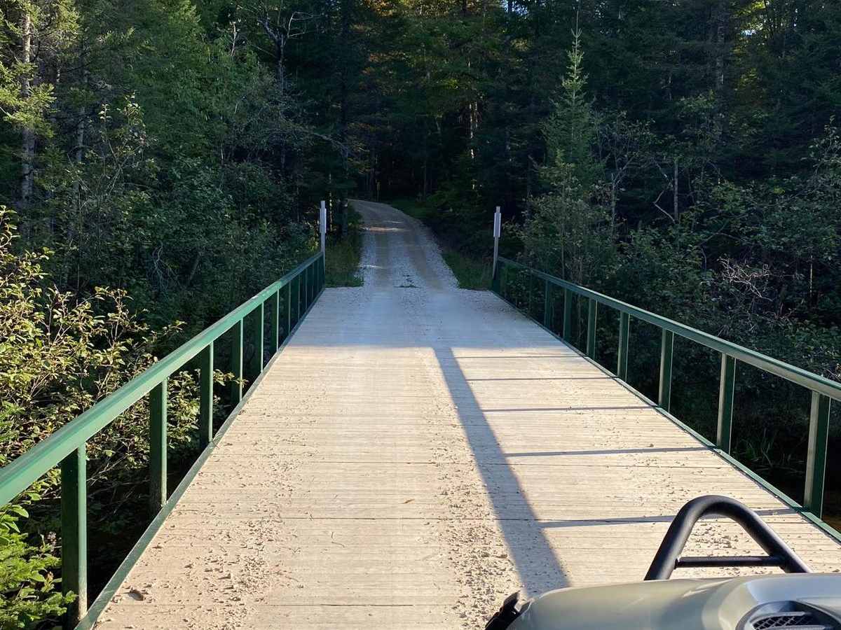
Trail 413 Fletcher - Part 6 is an easy, scenic 4.5-mile off-road route in Michigan's Upper Peninsula. Connecting M-94 to County Road 449, this flat trail winds through dense woodland, crosses the picturesque Indian River, and is highly accessible for stock four-wheel-drive vehicles and high-clearance SUVs. The trail surface consists of dirt and sand, with occasional muddy patches and soft pockets. Rated a 2 for difficulty, the route is straightforward but remote, situated within the Hiawatha National Forest. Carrying basic recovery gear is recommended, especially after heavy rains.

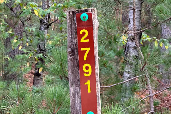
Photos of Trail 413 Fletcher - Part 6

Difficulty

Trail is rated a 2 since the trail can be Muddy/Sandy.

Technical Rating

2

Trail 413 Fletcher - Part 6 Trail can be accessed by the following ride types:

  • High Clearance
  • Full Width

Access Description

An active Michigan DNR ORV License and ORV Trail Permit are required to operate off-road vehicles on state-designated trails and routes. Standard seasonal forest service road closures may apply during winter and spring muddy seasons.

Trail 413 Fletcher - Part 6 Map

The onX Offroad Difference

onX Offroad combines trail photos, descriptions, difficulty ratings, width restrictions, seasonality, and more in a user-friendly interface. Available on all devices, with offline access and full compatibility with CarPlay and Android Auto. Discover what you're missing today!

Open Trail Map