Trail Overview
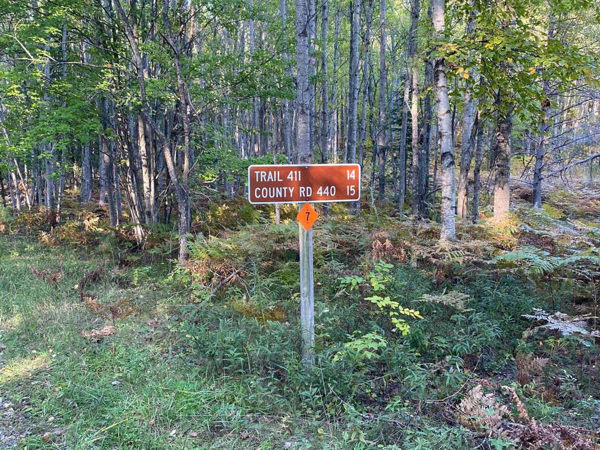
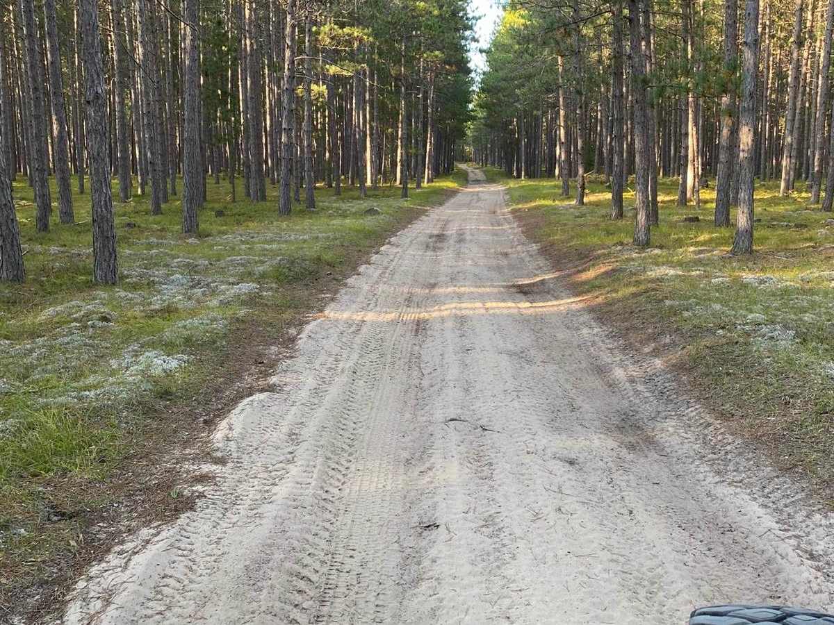
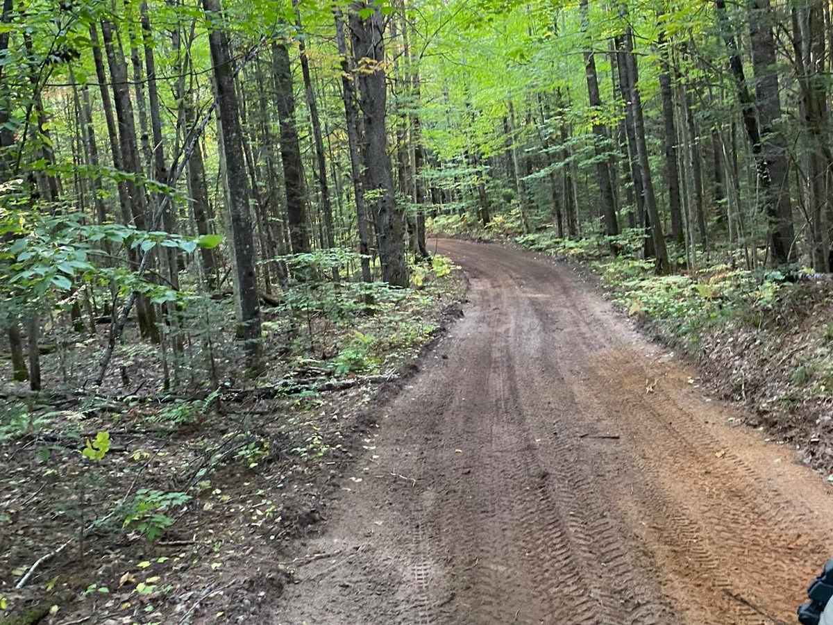
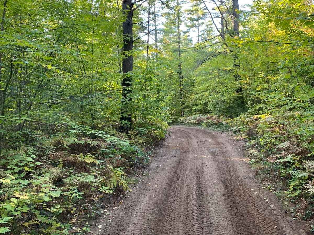
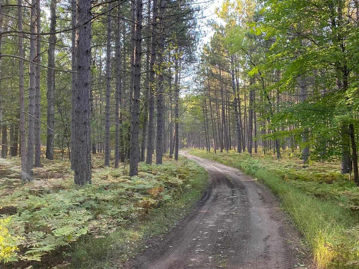
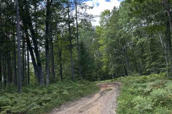
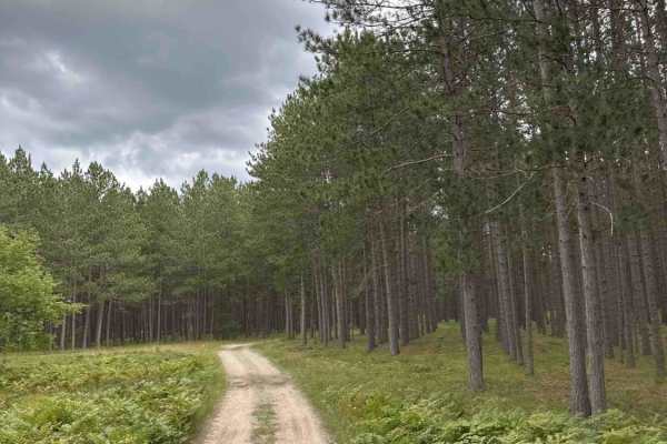
This easy off-road connector trail in Michigan's Upper Peninsula offers a quick, sandy route through the scenic Hiawatha National Forest for stock 4x4s, OHVs, and dual-sport riders seeking a straightforward path toward Buckhorn Resort. Extending just over one mile with virtually no elevation change, the route winds through dense northern hardwood and pine forests, providing a seamless transition between Delta County Road 443 and Thunder Lake Road. The path is generally wide enough for comfortable two-way traffic, making it a stress-free addition to a longer day of exploring the area's extensive trail network.
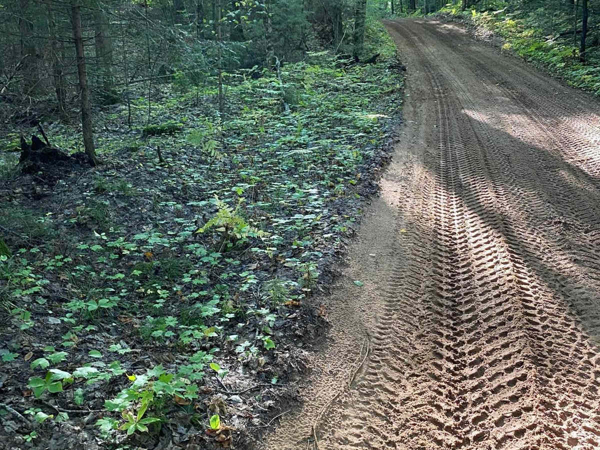
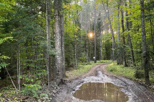
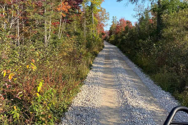
Given its low-lying terrain, the dirt and sand surface is prone to collecting water, so drivers should expect muddy patches and shallow puddles after recent rainfall. No specialized equipment or high clearance is required under normal conditions, though airing down can help improve traction in the softer sandy sections. The trail is highly accessible during the late spring through autumn, offering beautiful fall foliage, while winters transform the region into a popular snowmobile destination. This short segment serves as a crucial link for travelers looking to navigate the local county roads and forest routes without having to trailer their rigs.
Access Description
Located within the Hiawatha National Forest, this route is open to off-road vehicles. Standard Michigan DNR ORV licenses and trail permits are required for non-street-legal vehicles. The trail is subject to seasonal winter closures when it is designated primarily for snowmobile use.

 Offroad