Trail Overview
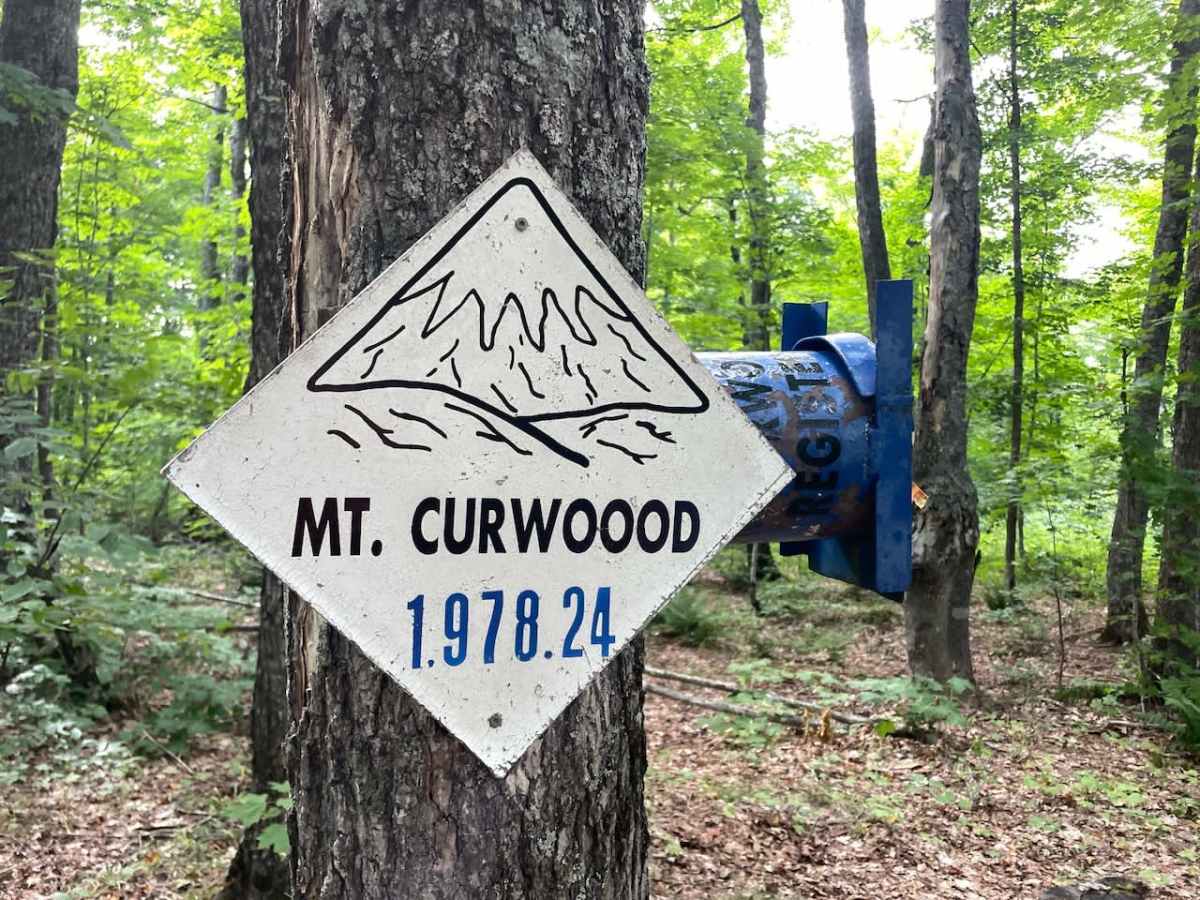
Mount Curwood is now recognized as the highest point in Michigan. A survey conducted in 2024 and published for peer review found that Mount Arvon is 1,978.81 feet high, approximately six inches lower than the elevation listed on its summit sign. Mount Curwood is slightly higher at 1,979.25 feet, one foot higher than the previous survey and the elevation listed on its summit sign. This means that Mount Curwood, which was formerly recognized as the highest point before being dethroned by Mount Arvon, is once again considered the highest. This route takes you within 200 feet of the highest point in Michigan.
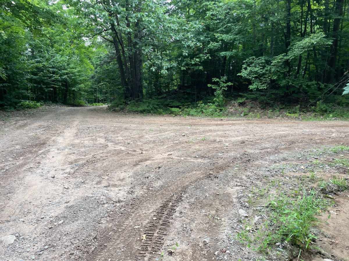
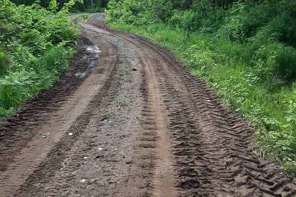
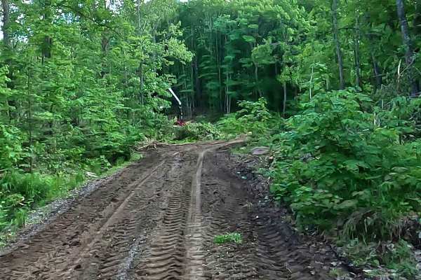
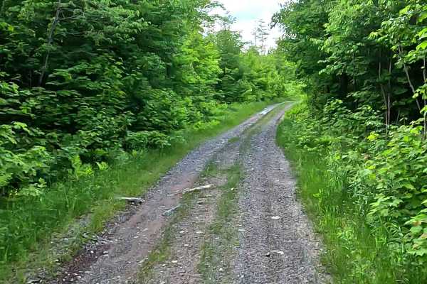
The route is one mile long and climbs from 1,929 feet to 1,979 feet, beginning at the intersection with the Mount Curwood Pass Trail. To access the starting point from the north, approach from the west using the easy Lost Lake Off-Road Vehicle Route. Continue beyond the end of that trail onto the section of Forest Service Road 9908479 that was recently widened and graded for logging activity. The Mount Curwood Pass Trail heads south from Forest Service Road 9908479 and continues for two miles before reaching the Mount Curwood High Point Trail. This approach begins at approximately 1,700 feet and takes about 45 minutes to cover the three miles.
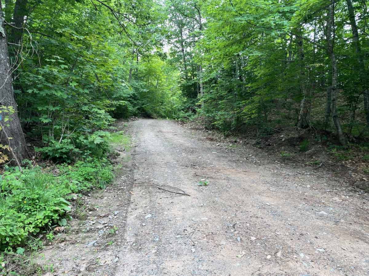
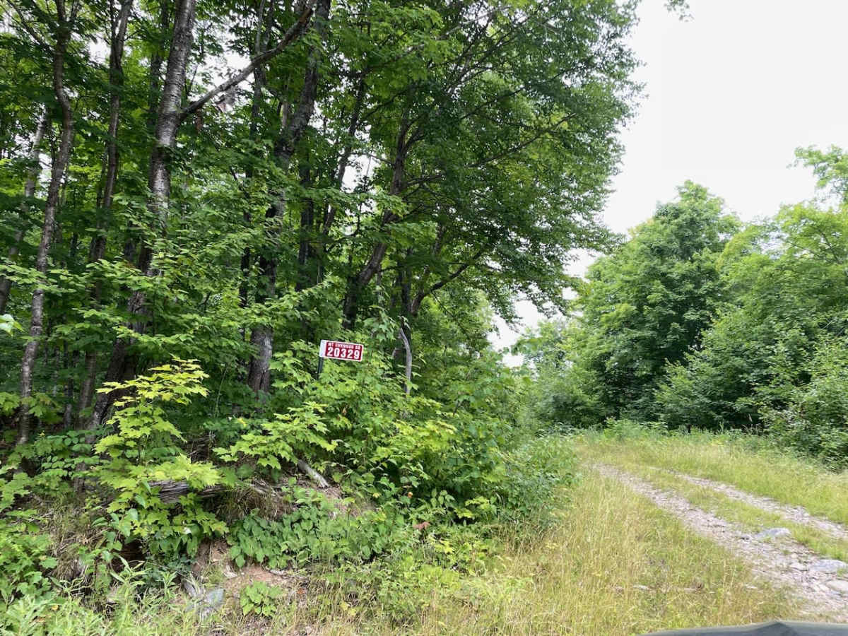
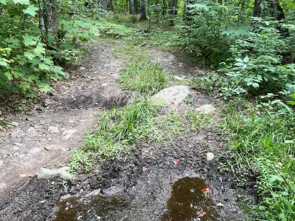
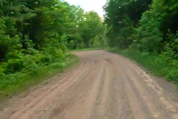
From Forest Service Road 9908479 to the peak, the trail is easy to follow and in good condition. A few exposed rock slabs add some fun to the drive. The route also passes through several large areas that were previously logged, where young pine and maple trees are growing as the forest recovers. The dark night sky in these open areas would likely be impressive. After nearly an hour from the previous trail and two hours from the nearest paved road, I was surprised to find an address sign near the summit stating that the property is located at 20329 Mount Curwood Road.
Difficulty
On a dry sunny day, this is a walk in the park. Mud and snow could make things more challenging. The bigger challenge is getting there if you come in from the south via the Huron Bay Peshekee Grade Trail.