Trail Overview
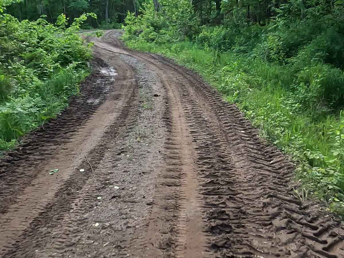
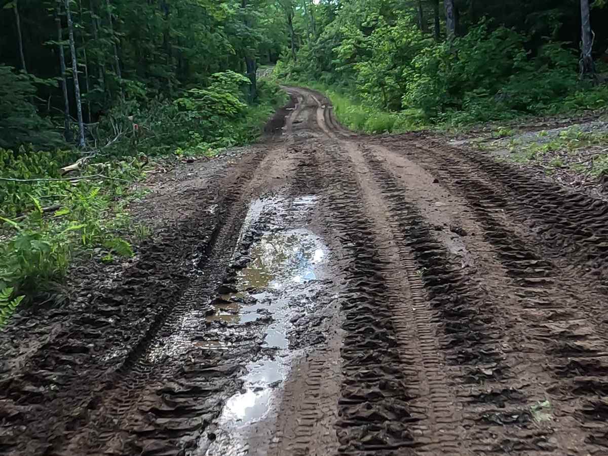
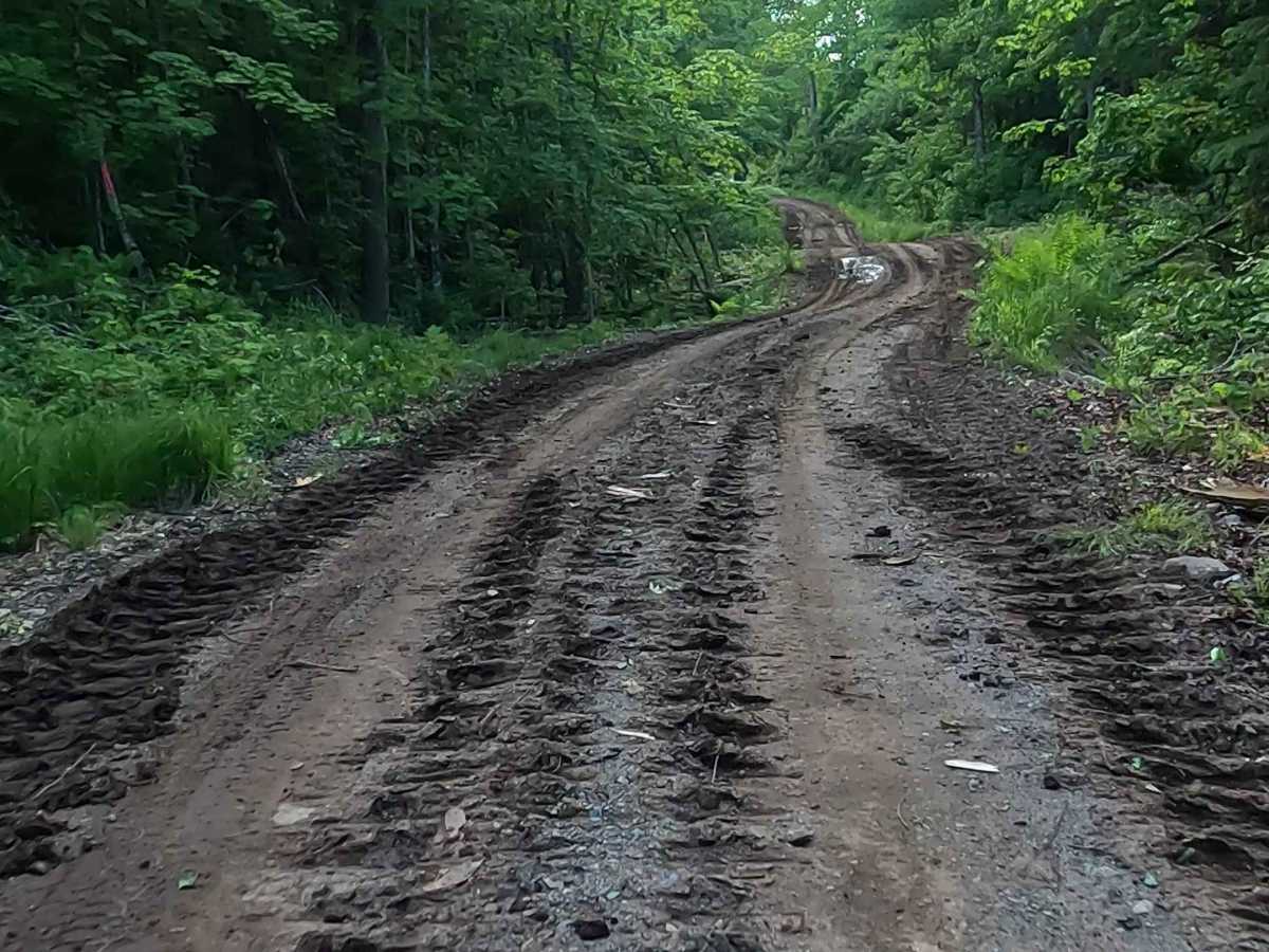
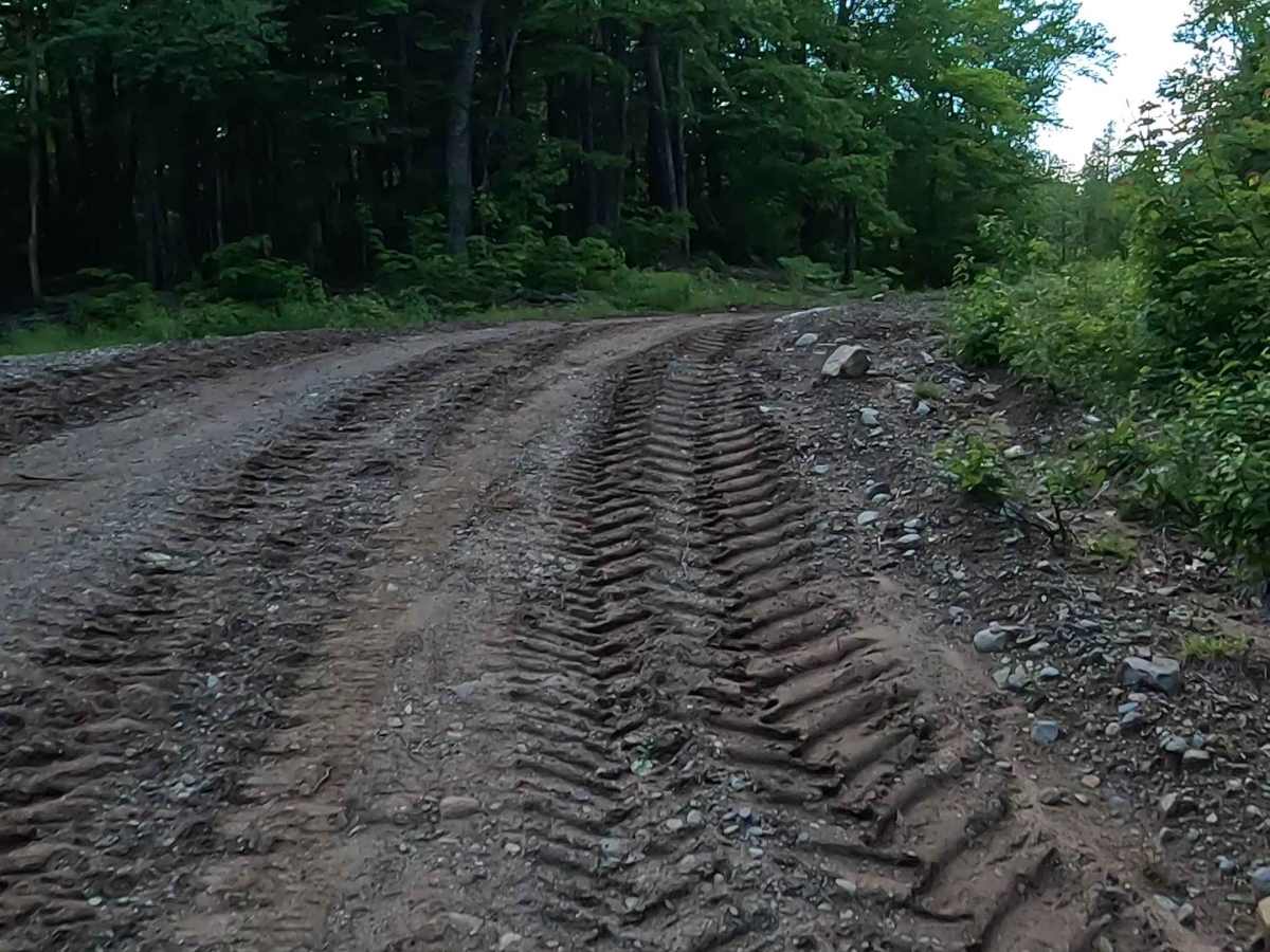
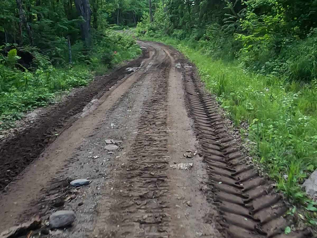
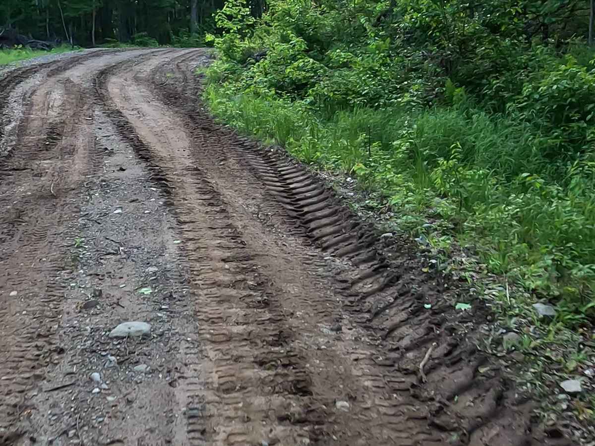
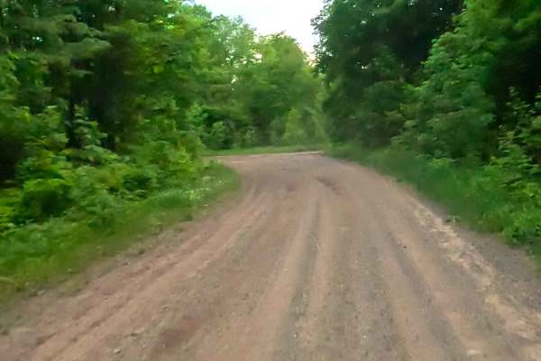
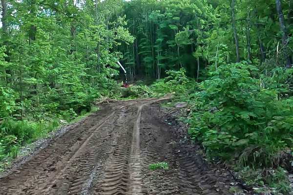
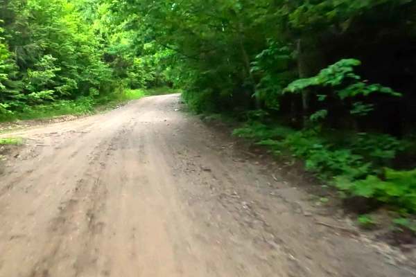
Mount Curnow Pass is a state owned/ locally maintained, Level-2/ Level-3 forest access route with a surface composition of gravel, sand, dirt, and native material (ex: leaves, pine needles, pine cones, sticks, branches). This route traverses through the dense coniferous & hardwood forest of the Upper Peninsula's second-highest mountain: Mount Curwood, elevation: 1,979 feet, within the Huron Mountain Range.
Difficulty
Gravel, dirt, and sand route typically unmaintained after rain or snow that may give rise to water crossings < 12” and obstacles such as tree/ tree branches and potential overflow from the Silver River and Dirkman Lake.
History
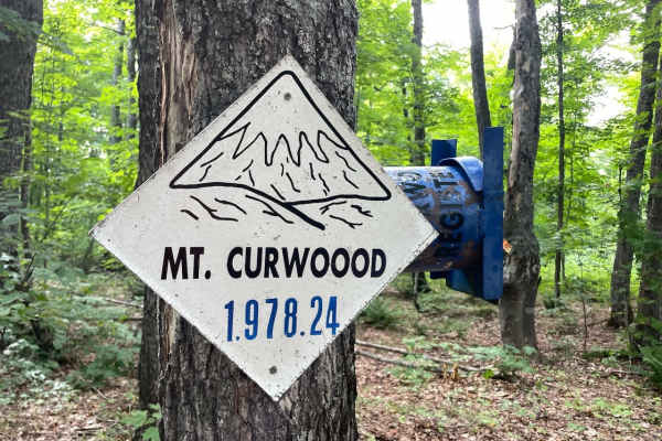
Mount Curwood stands at roughly 1,978 to 1,979 feet. It was famously recognized as Michigan’s highest natural point from the 1950s until 1982, when a precise USGS survey showed nearby Mount Arvon was about 11 inches taller.