Little Pup Creek

Total Miles1.4
Technical Rating
3Easy
Best TimeSpring, Summer, Fall
Trail TypeFull-Width Road
Accessible By
Open Trail Map

Trail Overview

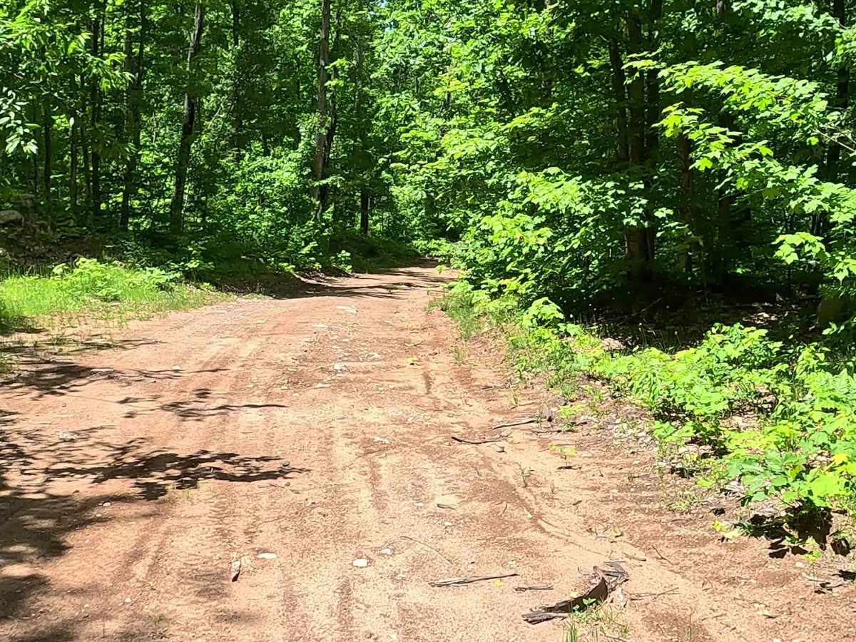
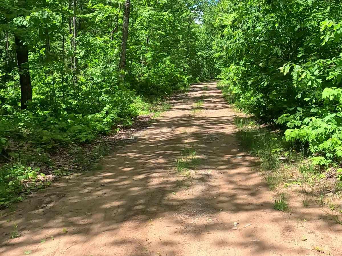
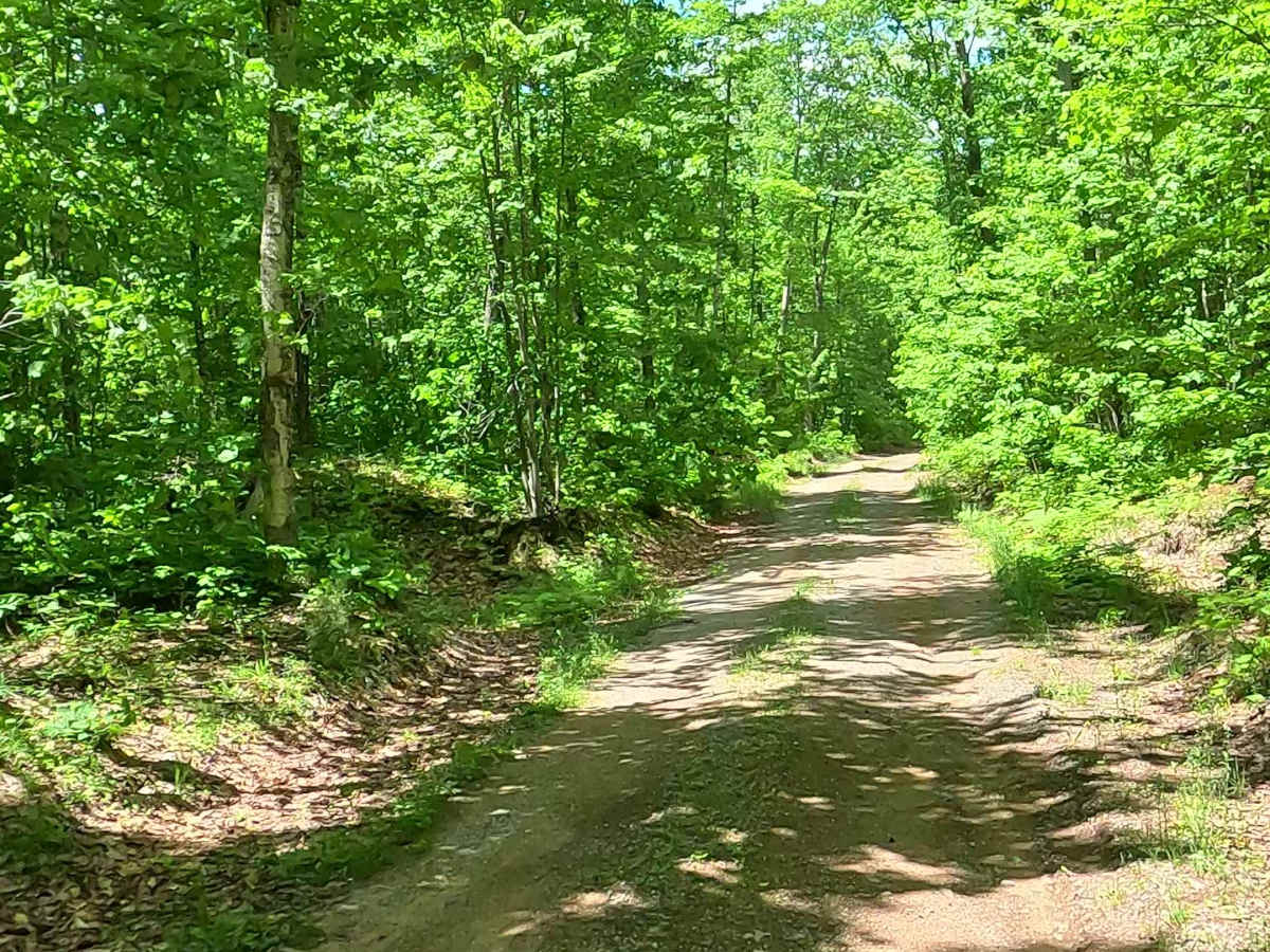
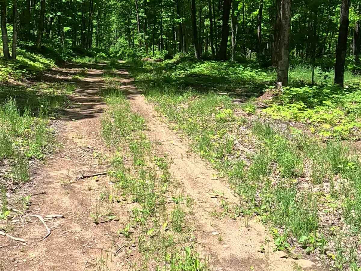
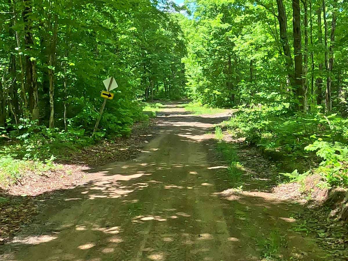
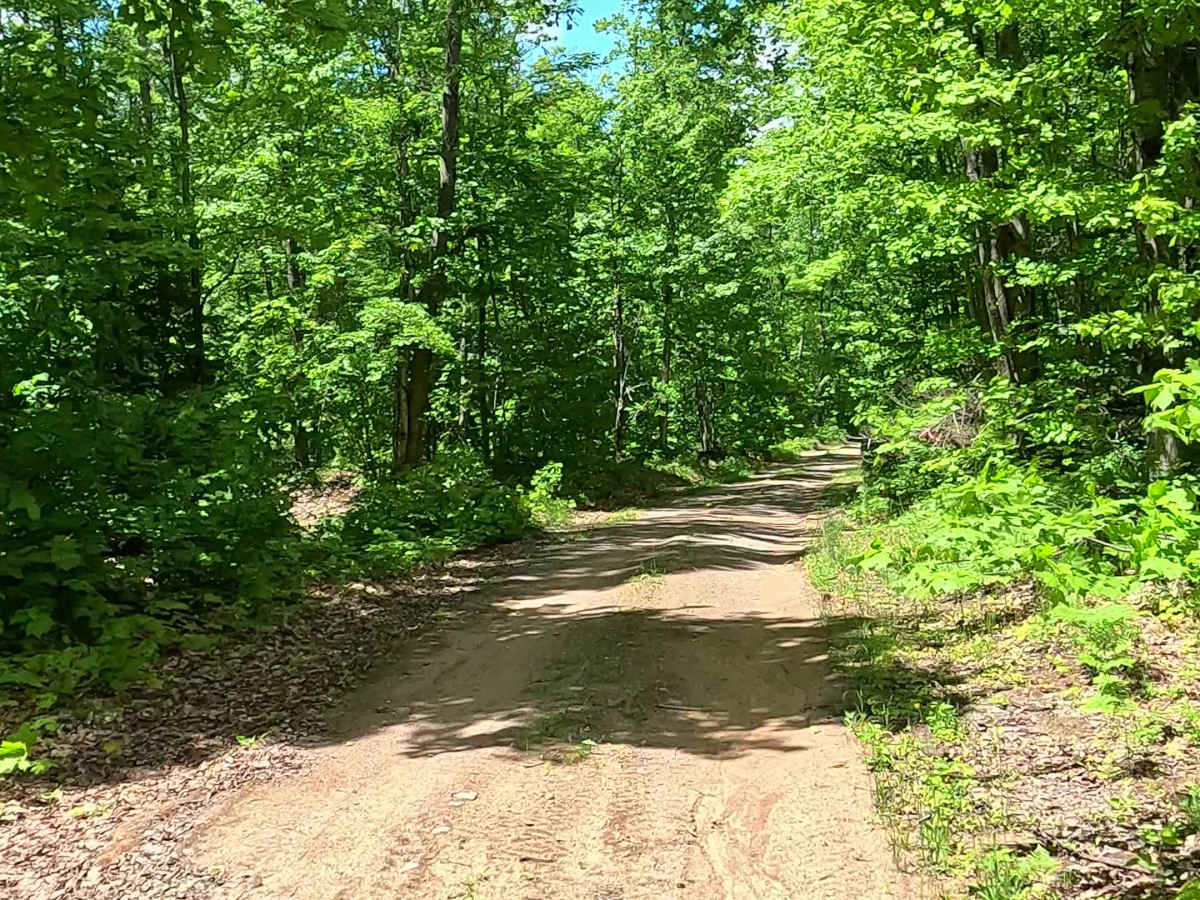
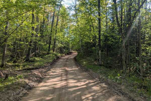
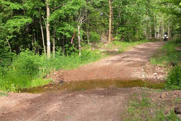
County Road GGF, also known as Little Pup Creek Road, is a state owned/ locally maintained, Level-2/ Level-3, "There-and-back" forest access route with a surface composition of sand, dirt, and native material. This route offers access to the ruins of a former Fire Lookout Tower as well as forested "Two-Tracks" and hiking paths within the deep wilderness of the Huron Mountain Range.

Photos of Little Pup Creek

Difficulty

Sand, dirt, gravel, grass route typically unmaintained after rain or snow that may give rise to water crossings over 12 inches and obstacles such as tree/ tree branches and Little Pup Creek crossing.

History

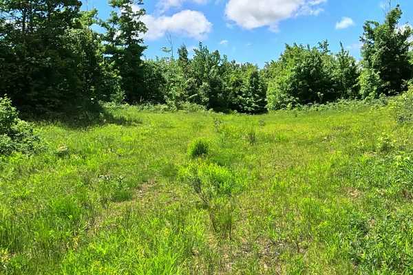
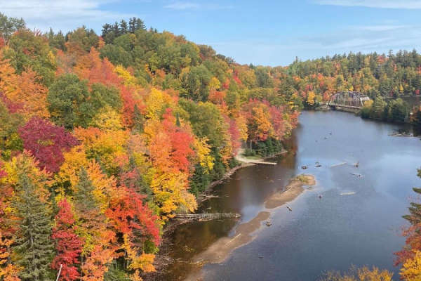
Little Pup Creek is a remote, heavily forested tributary in the Yellow Dog River Watershed Preserve in northern Marquette County. It features a scenic 5-foot waterfall tumbling over dark, ancient volcanic rock.

Technical Rating

3

Little Pup Creek Trail can be accessed by the following ride types:

  • Single Track
  • 50 Inch
  • 60 Inch
  • High Clearance
  • Full Width

Little Pup Creek Map

The onX Offroad Difference

onX Offroad combines trail photos, descriptions, difficulty ratings, width restrictions, seasonality, and more in a user-friendly interface. Available on all devices, with offline access and full compatibility with CarPlay and Android Auto. Discover what you're missing today!

Open Trail Map