Trail Overview
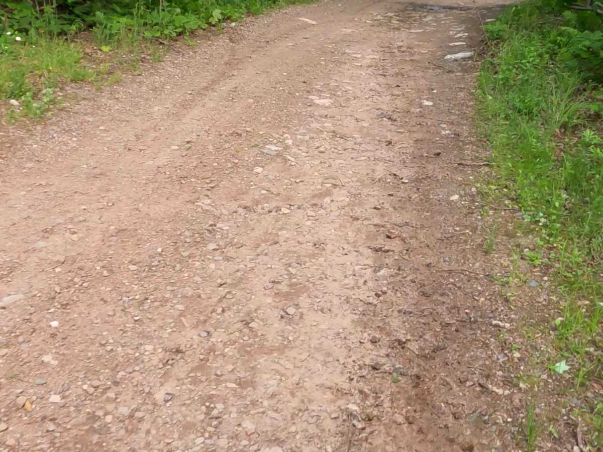
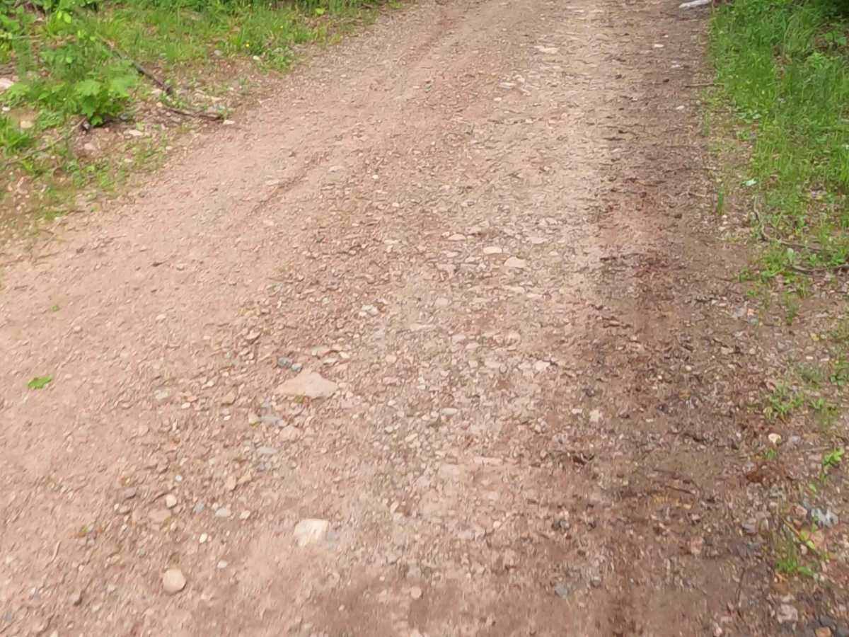
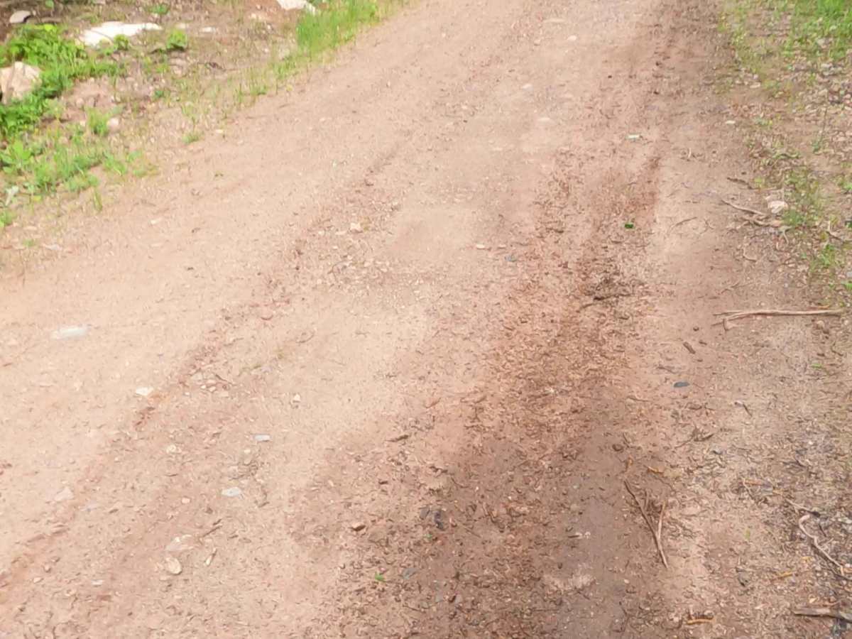
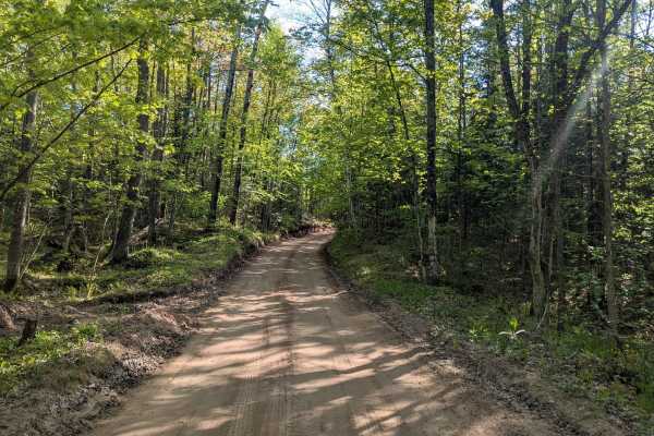
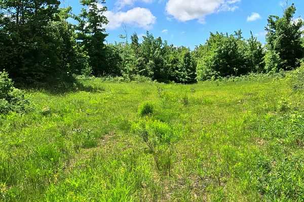
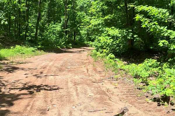
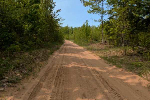
County Road GGF, also known as Route 310, is a state owned/ locally maintained, Level-2/ Level-3, "There-and-back" forest access route with a surface composition of sand, dirt, and native material (ex: leaves, pine needles, pine cones, sticks, branches). This route traverses along the north bank of the Yellow Dog River and offers access to forested "Two-Tracks" and footpaths within the deep wilderness of the Huron Mountain Range.
Difficulty
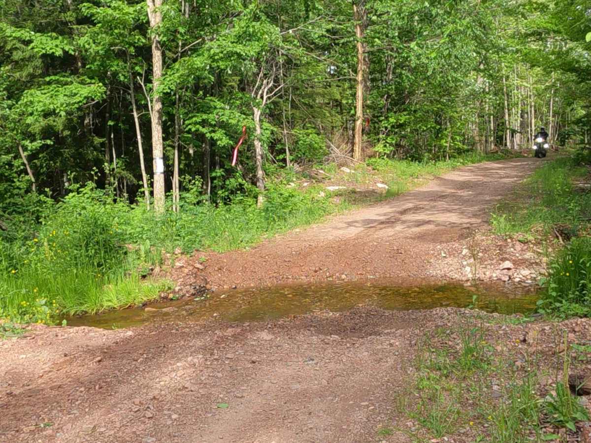
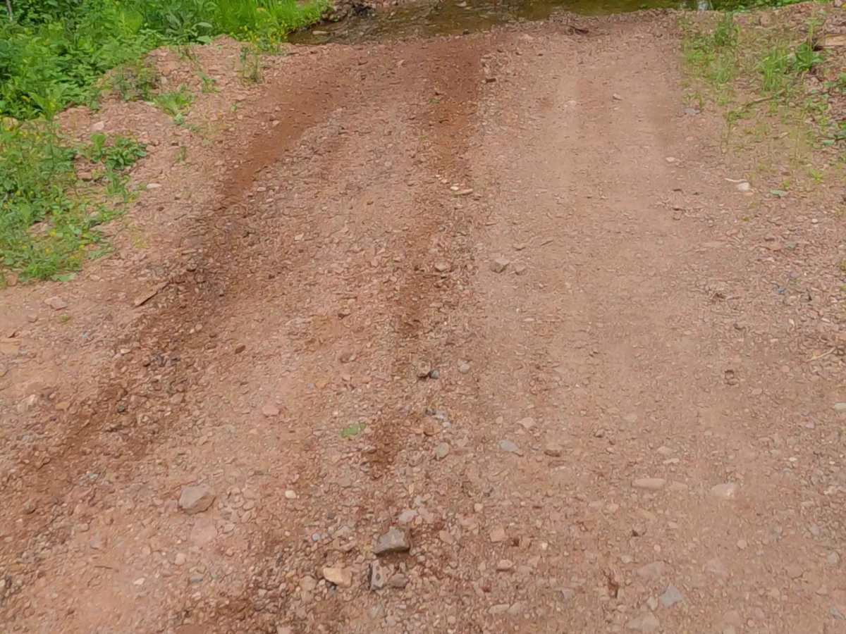
Sand, dirt, gravel, grass route typically unmaintained after rain or snow that may give rise to water crossings < 12” and obstacles such as tree/ tree branches and Yellow Dog River overflow.
History
The Yellow Dog River, originating in the McCormick Wilderness of Michigan's Upper Peninsula, is a 31.6-mile wild trout stream. Historically known by the Ojibwe as Ozaawasimong-ziibi, it gained its English name as a mispronunciation of the French Chien Jaune. The remote waterway is renowned for its old-growth forests and steep, rugged waterfalls.