Keystone Cut

Total Miles4.3
Technical Rating
4Moderate
Best TimeSpring, Summer, Fall
Trail TypeHigh-Clearance 4x4 Trail
Accessible By
Open Trail Map

Trail Overview

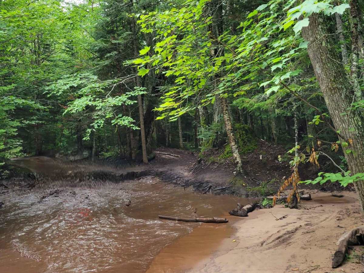
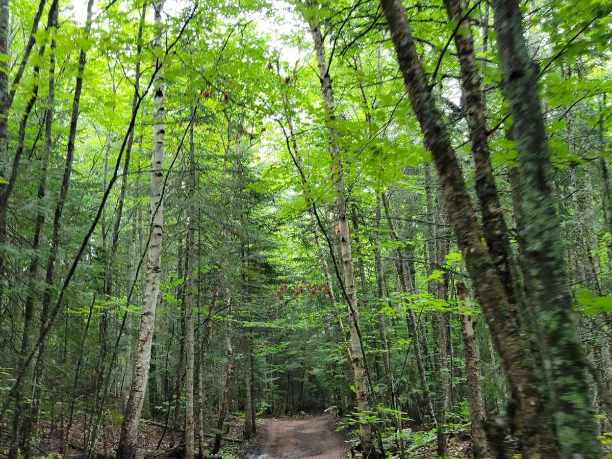
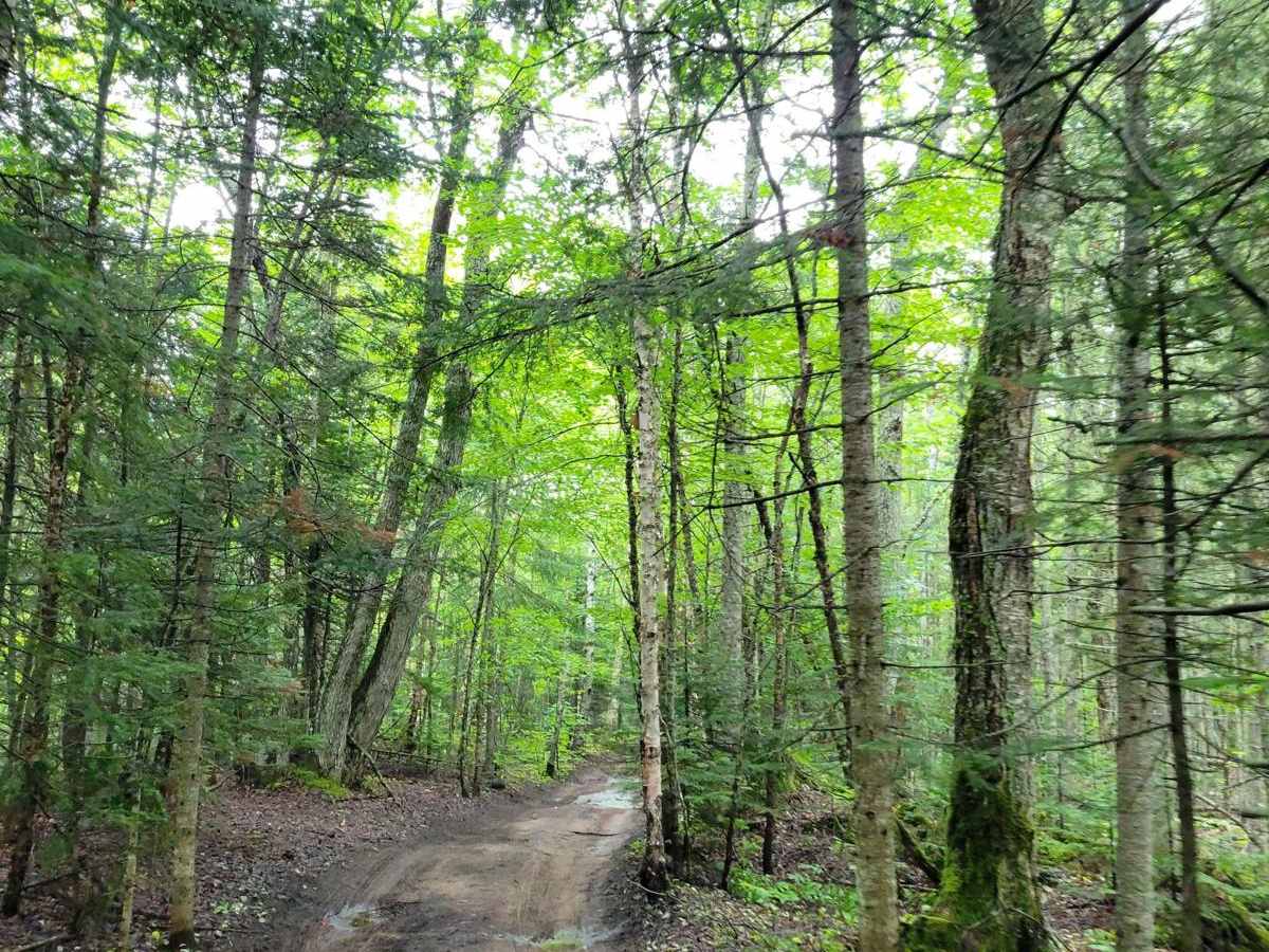
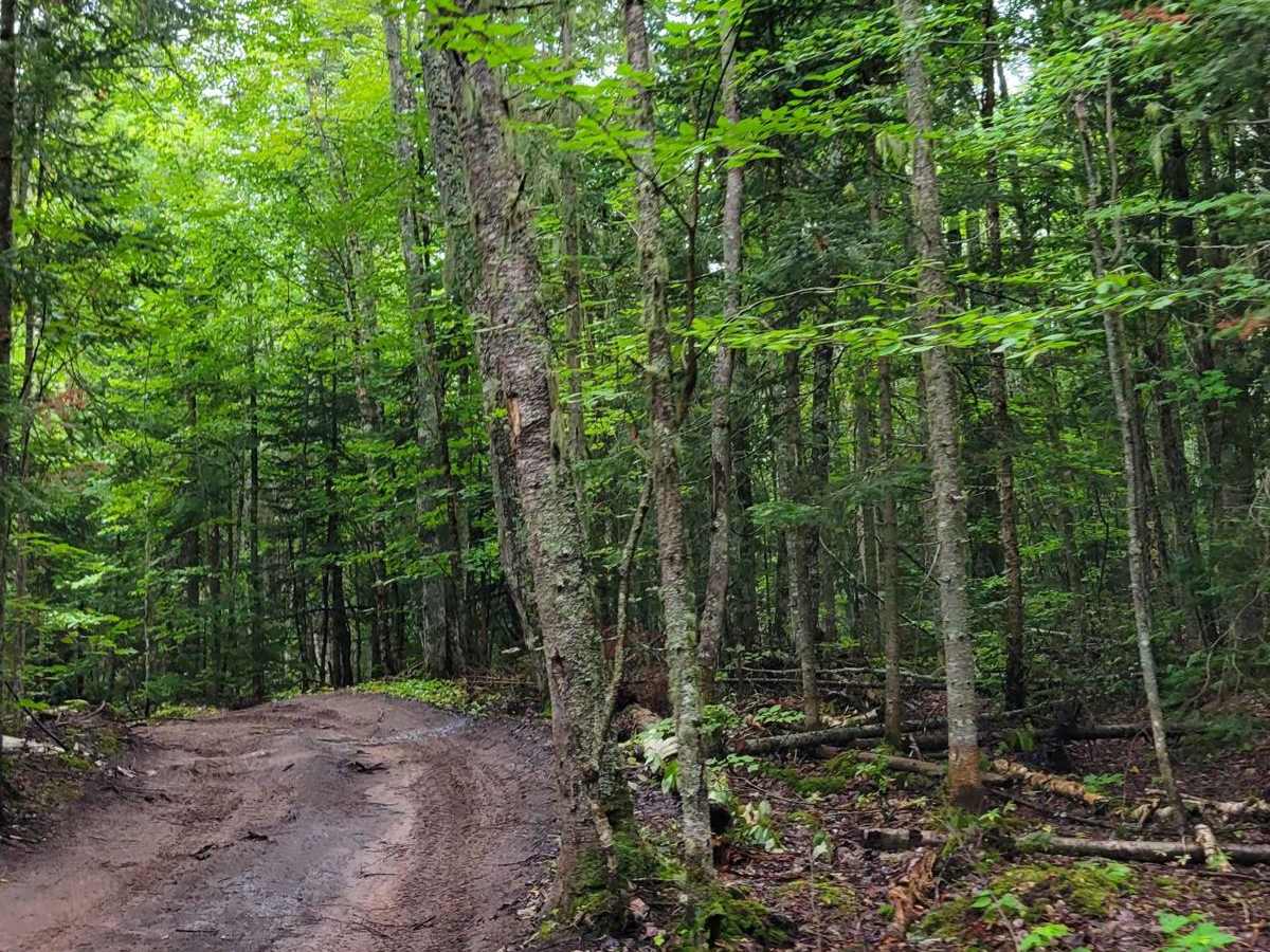
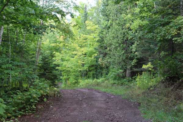
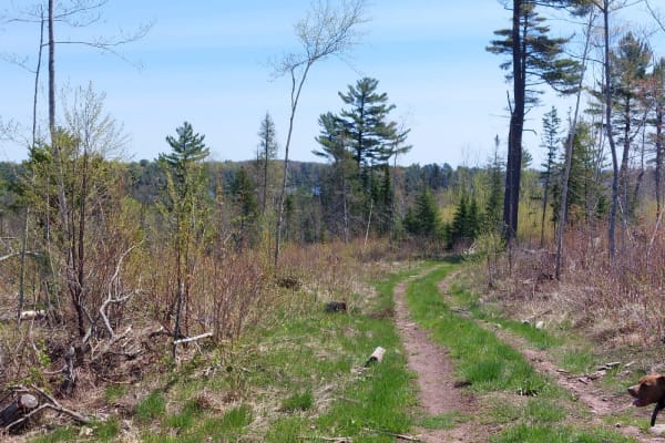
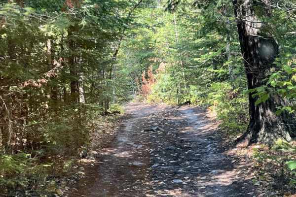
This trail is a side spur from the South Mandan. It is much smaller, and it is more difficult to pass. The trail is mostly dirt and has just a couple of deeper mud holes that do have softer bottoms to them. Other areas of the trail consist of tight corners where tree stumps are exposed to drive over.

Photos of Keystone Cut

Difficulty

This trail is rutted, narrow, and scattered with small stumps that require careful tire placement but are manageable for most vehicles with moderate clearance. Several mud holes have soft bottoms and may be deep enough to cause water intrusion in lower-sitting vehicles, especially after rain. Access is limited to a single entry and exit point, so travelers should expect to backtrack along the same route.

Technical Rating

4

Status Reports

Add Status Report
Derek Vanspronsen
Jul 11, 2026
2008 Lexus GX
Open
Rough/Deteriorated
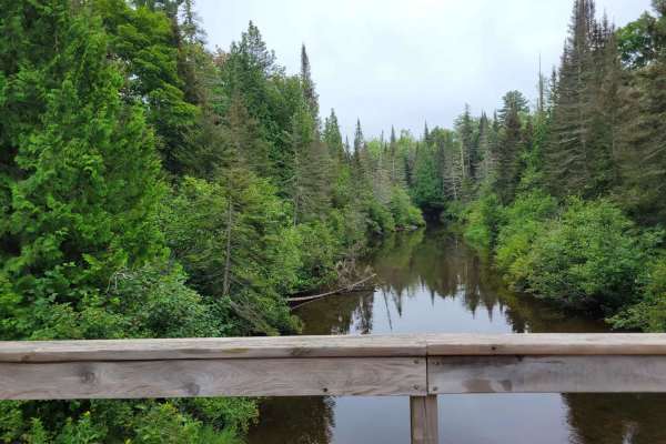
We traveled from high rock bay then out to keystone bay, so we did not run the southern half of the trail. no issues for the first half of keystone from orv route B, after the small stream crossing (4-5" deep solid bottom) the trail was a bit harder. several mudholes (maybe 6-7" of mud) and some off camber sections. lower vehicles may get high centered in the mud. there are bypasses for the deepest holes but they are very tight. overall a very fun trail in a smaller rig like my lexus, would be less fun with street tires or stock ride height.
Dave Langley
Jun 25, 2025
Open
Muddy/WetRough/Deteriorated

Keystone Cut Trail can be accessed by the following ride types:

  • 50 Inch
  • 60 Inch
  • High Clearance

Keystone Cut Map

The onX Offroad Difference

onX Offroad combines trail photos, descriptions, difficulty ratings, width restrictions, seasonality, and more in a user-friendly interface. Available on all devices, with offline access and full compatibility with CarPlay and Android Auto. Discover what you're missing today!

Open Trail Map