Trail Overview
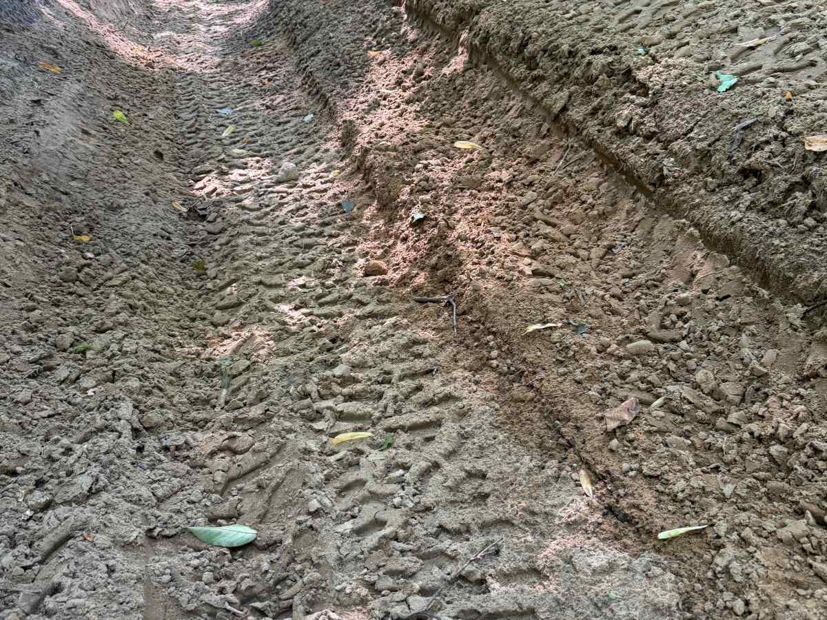
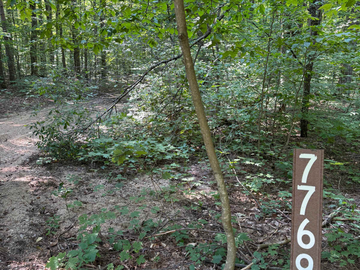
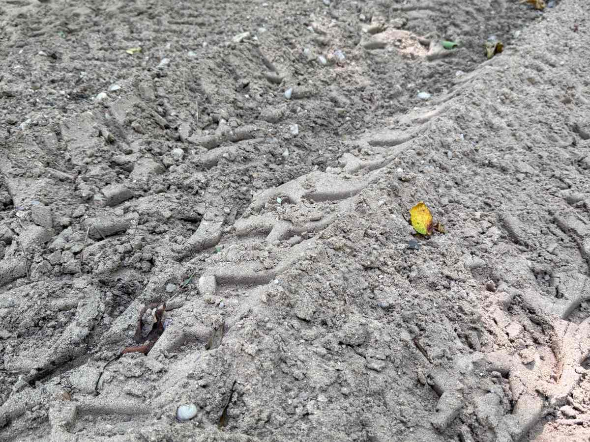
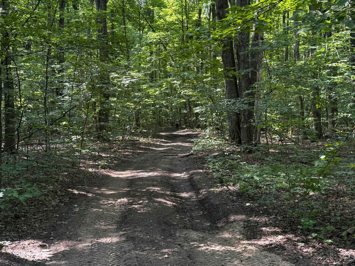
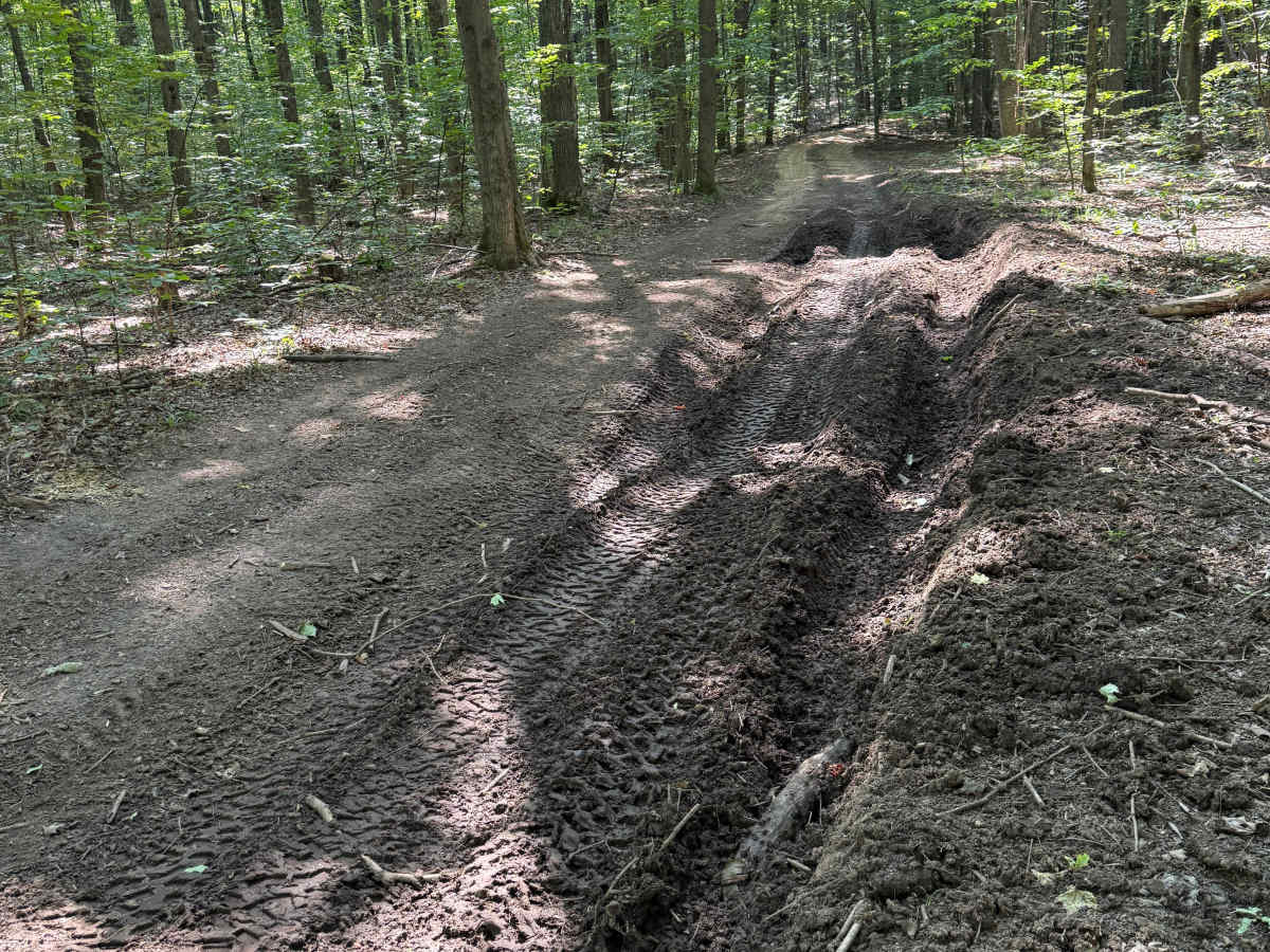
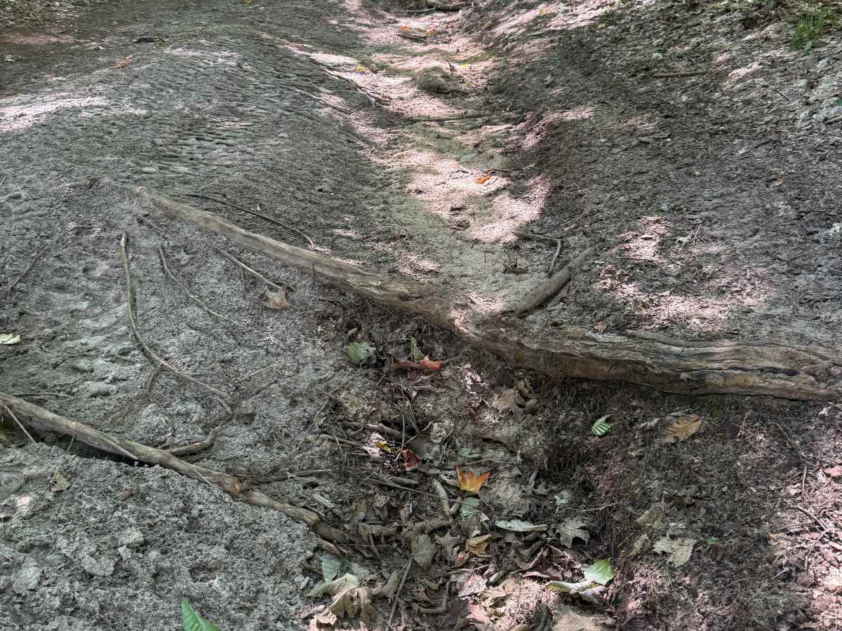
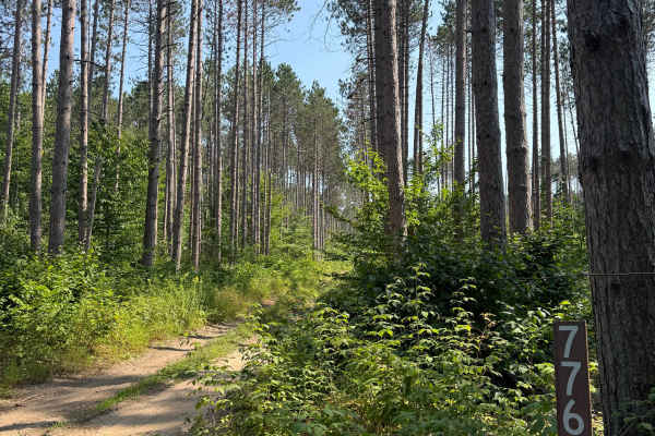
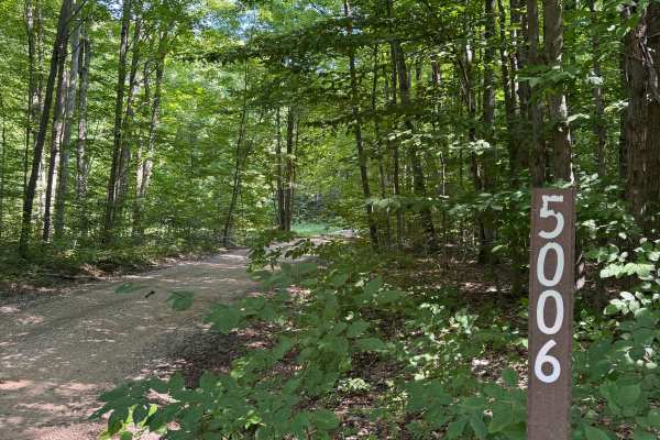
FS 7769 is a short bidirectional trail within the Manistee National Forest. Located east of the town of Yuma and south of the town of Mesick, this trail is easily accessible. Most of the trail is a combination of dirt and sand, with some small rocks mixed in here and there, as well as some mud and exposed tree roots. Starting out on the west end, you'll begin in a dense portion of the forest with a fair amount of overgrowth along the trail. As you continue, the trail climbs in elevation and leads you through several rutted, muddy sections. Eventually you'll encounter an off-camber sandy section. This isn't anything major, but it's noteworthy and is part of the reason for this trail's technical & difficulty rating. Recent rainfall can cause downed trees, washouts, & mud holes. Most of this trail is only wide enough for 1 vehicle with limited places to pass. As always, PLEASE TREAD LIGHTLY and be respectful of our public lands so future generations can have access to these trails! The eastern end of this route finishes at a T with FS 7768. Continue on your adventure and explore the other wonderful trails in this area. This is not a difficult trail, but it is worth checking out.
Difficulty
This trail was given a Technical Rating & Difficulty of 3 due to the sandy, eroded washes with obstacles up to 12 inches. This trail is typically one vehicle wide, with minimal places to pass.