Trail Overview
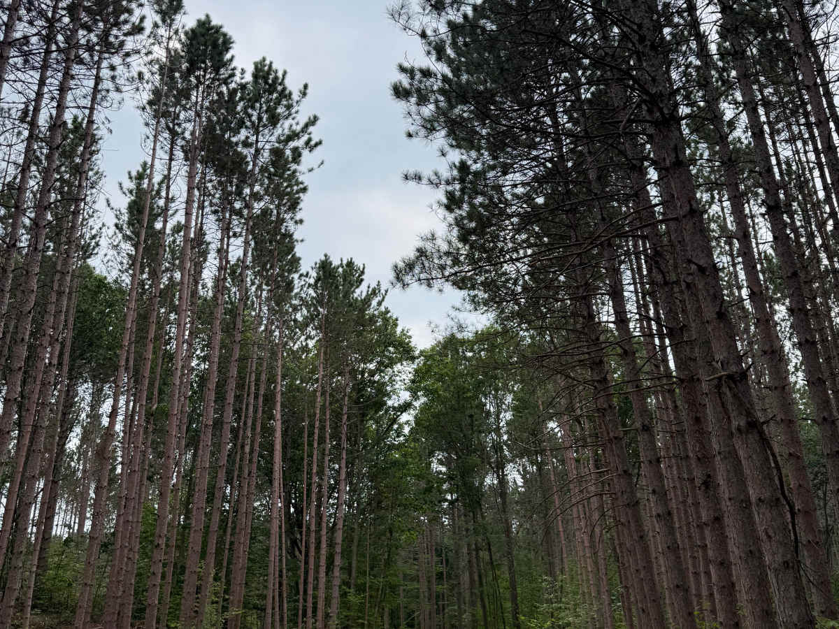
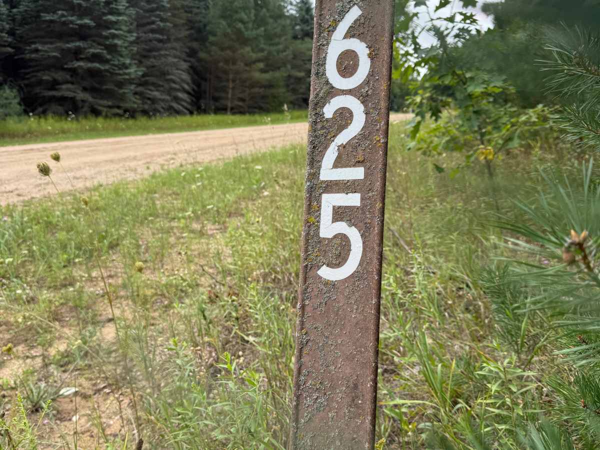
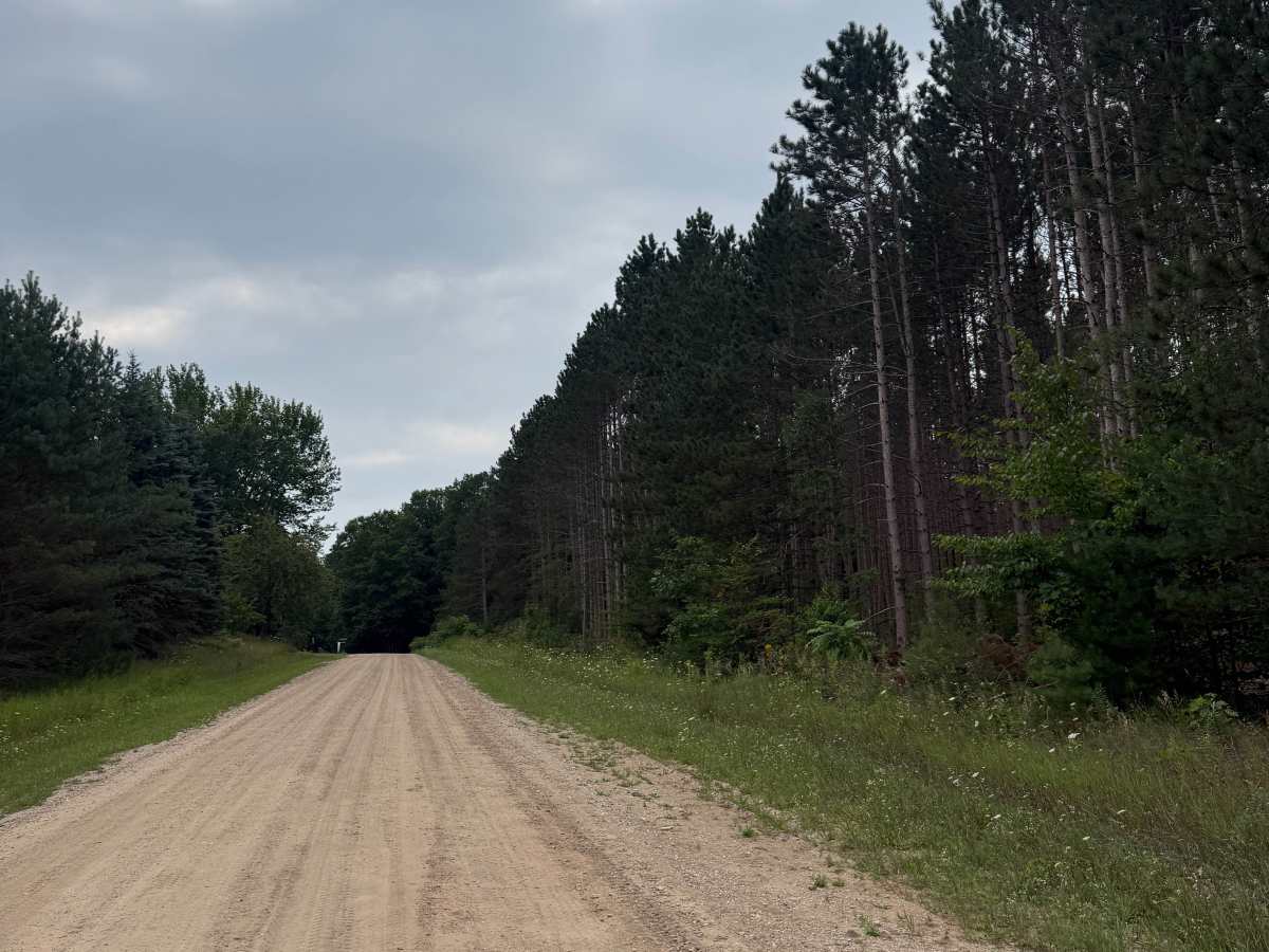
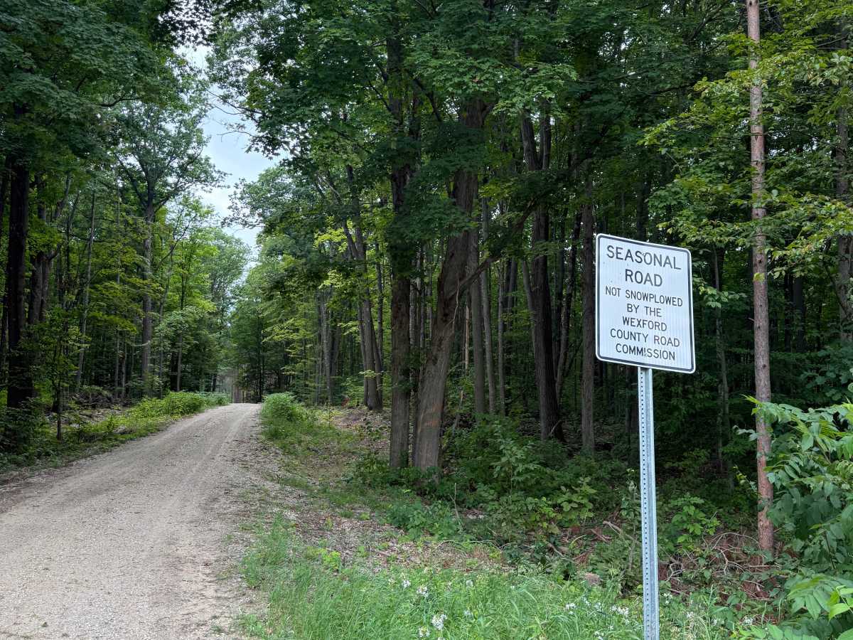
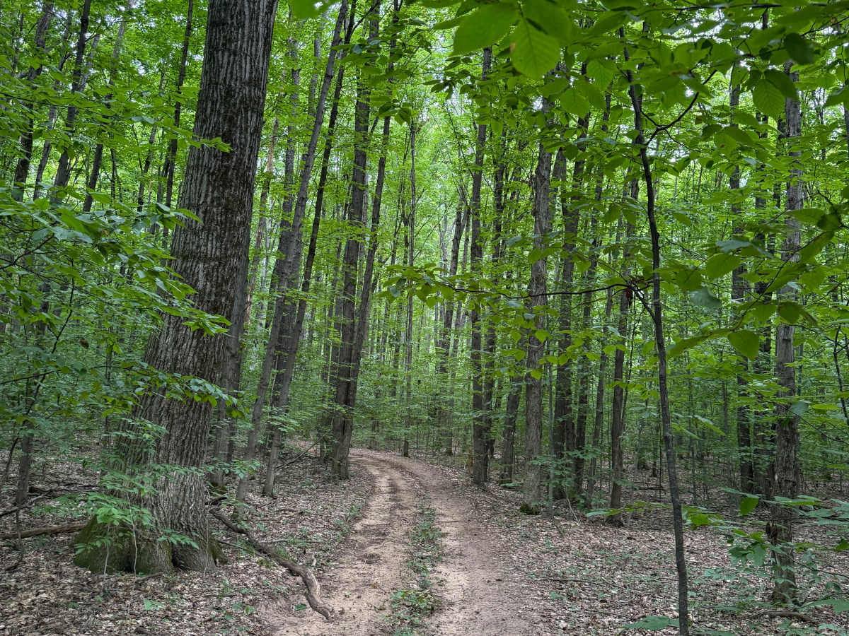
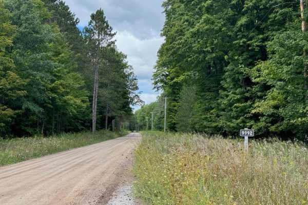
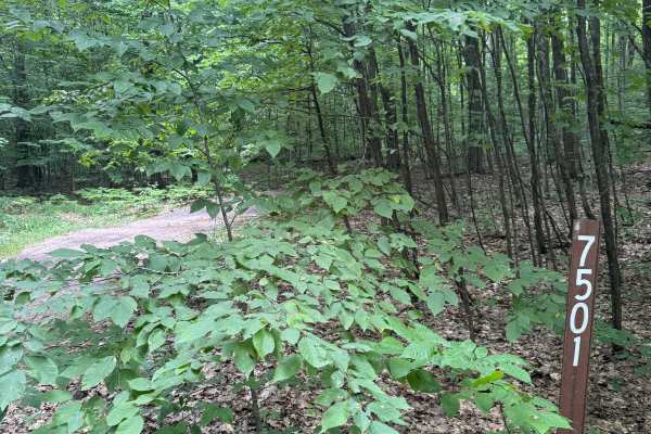
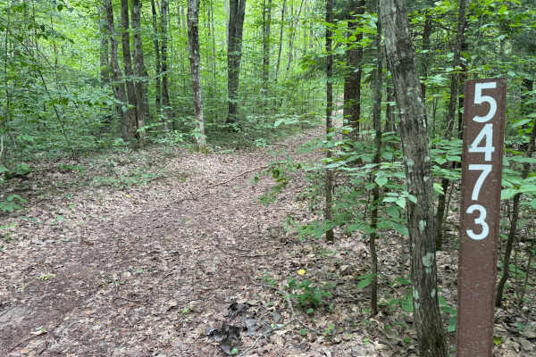
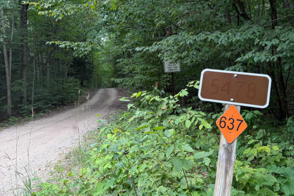
FS 5625 is a bidirectional trail within the Manistee National Forest. Located near Highway M-37 and off W 34 Road, this trail is easily accessible. Most of the trail is a combination of dirt, gravel, and sand. Starting out from the western end, you'll begin on a sandy, dirt, gravel road along private property. Please be respectful of the local landowners and stick to the trail. Be courteous to the locals whom we share these amazing trails with. Shortly after starting, the track swings into the forest where you'll encounter towering pine trees. These rows of trees are beautiful to look at. As you continue, the trail tightens up a bit with more overgrowth as the forest thickens. There's plenty of incredible nature to see out here. Like most of Michigan trails, conditions are dependent on the weather. Recent rainfall can cause downed trees, washouts, & mud holes. Most of this trail is only wide enough for 1 vehicle, with limited places to pass. As always, PLEASE TREAD LIGHTLY and be respectful of our public lands so future generations can have access to these trails! The eastern end of this trail finishes at a T with FS 5478. There are other spur trails off this route as well. This is not a difficult trail at all, rather super chill, but it offers other recreation with a lot of natural beauty to be seen! Regardless of the length, difficulty, or conditions, this is a wonderful trail for all!


 Offroad